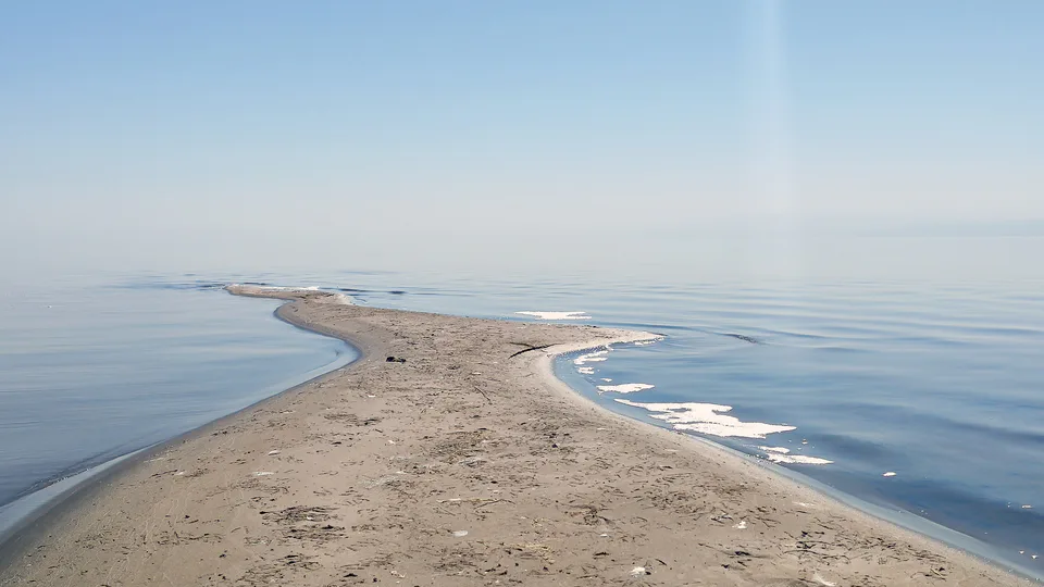
Nature · Nurota District
Aydarkul Lake and yurt camps
A 'sea in the sand' in the Kyzylkum
Nature · Tomdi District
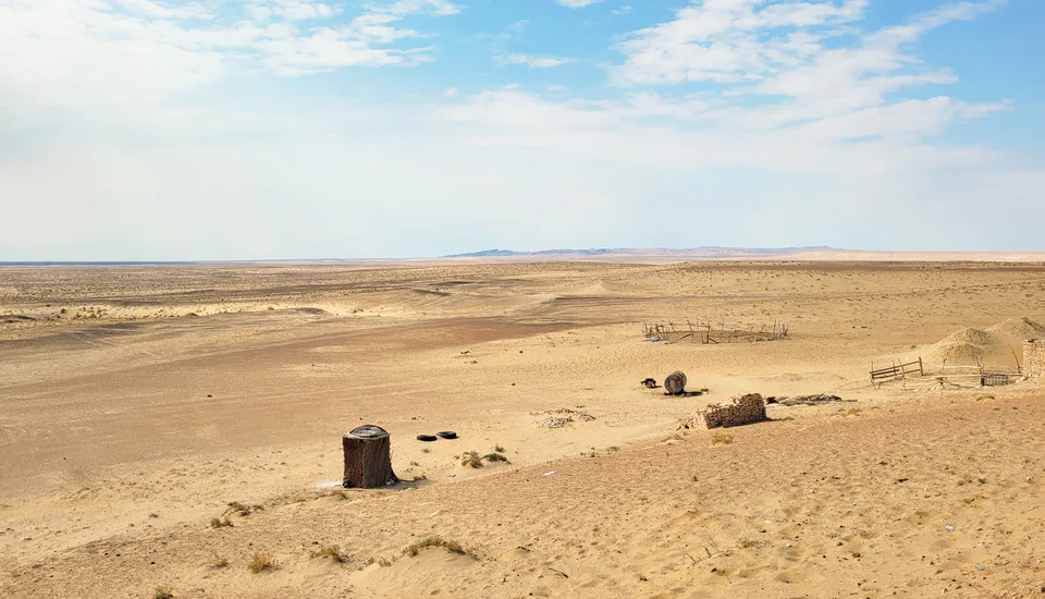
Much of the Kyzylkum, a desert of about 300,000 km² between the Amu Darya and Syr Darya, lies in Navoiy Region — a land of dunes, isolated mountains and Muruntau, one of the world's largest gold deposits.
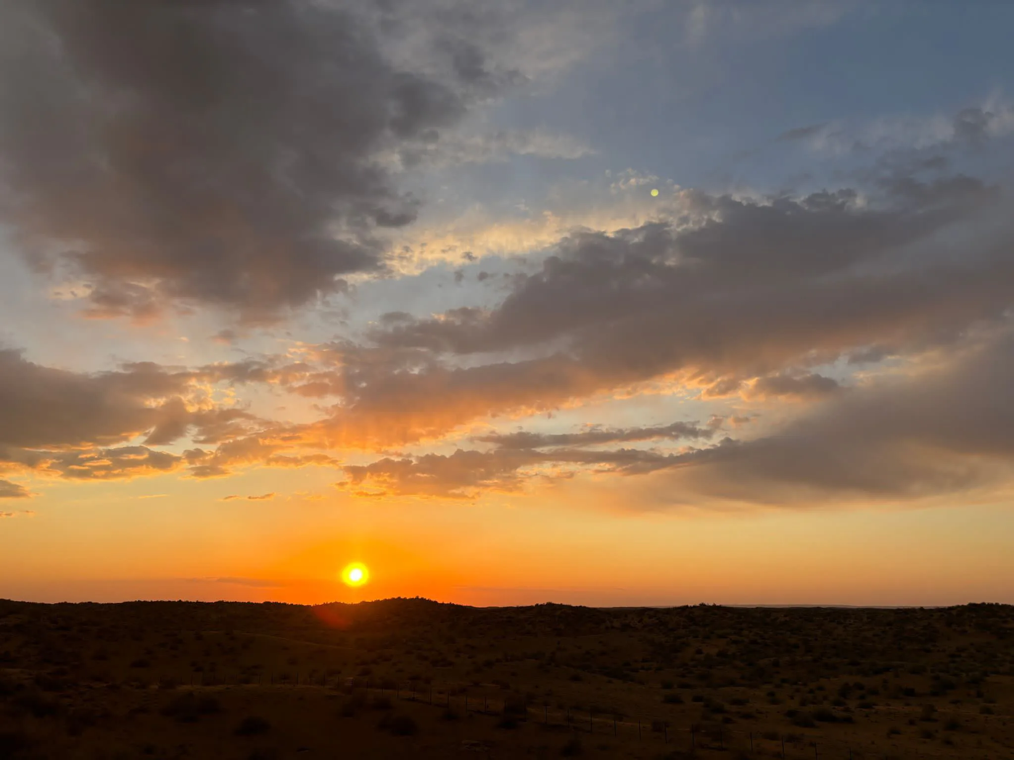
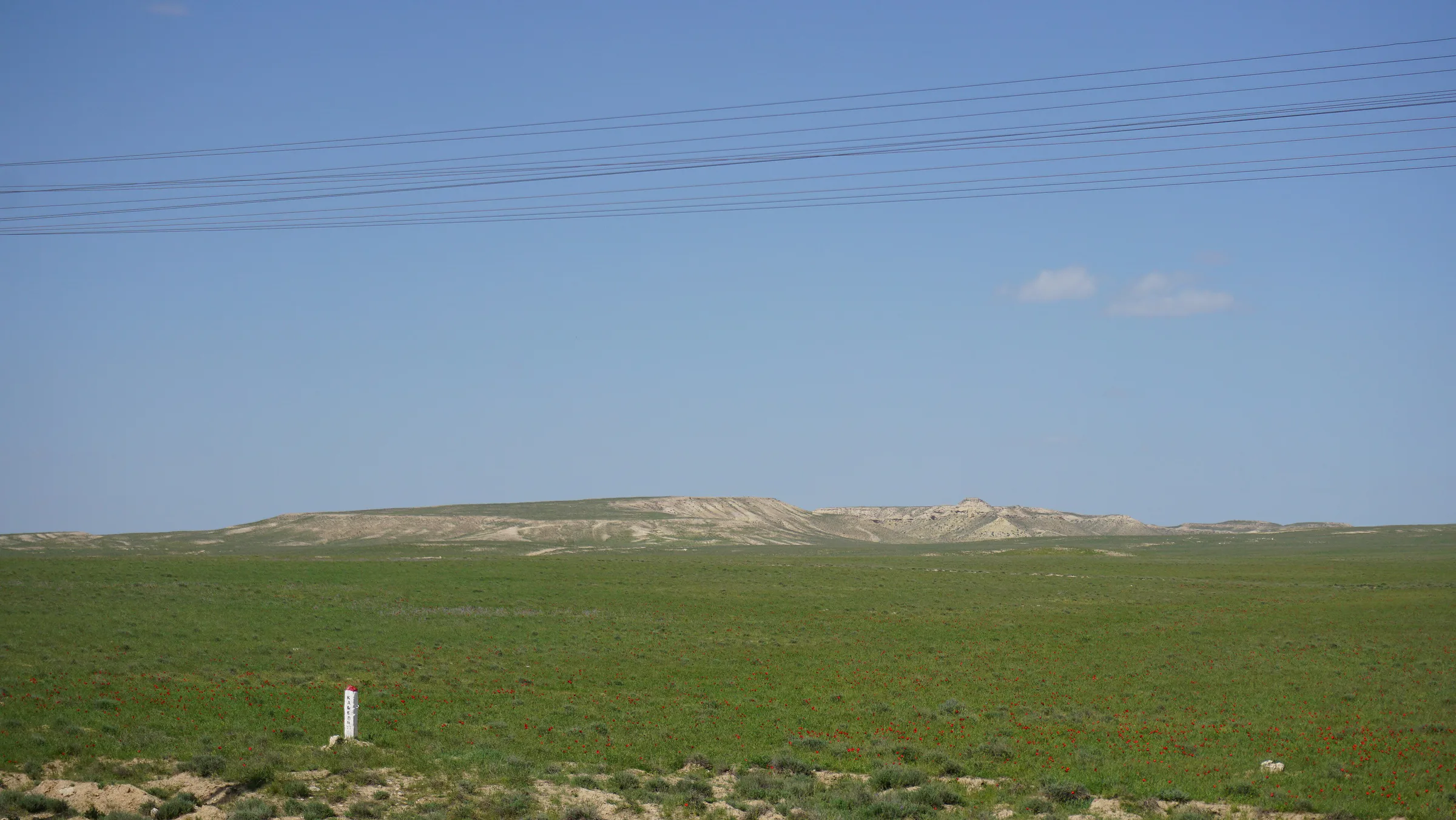
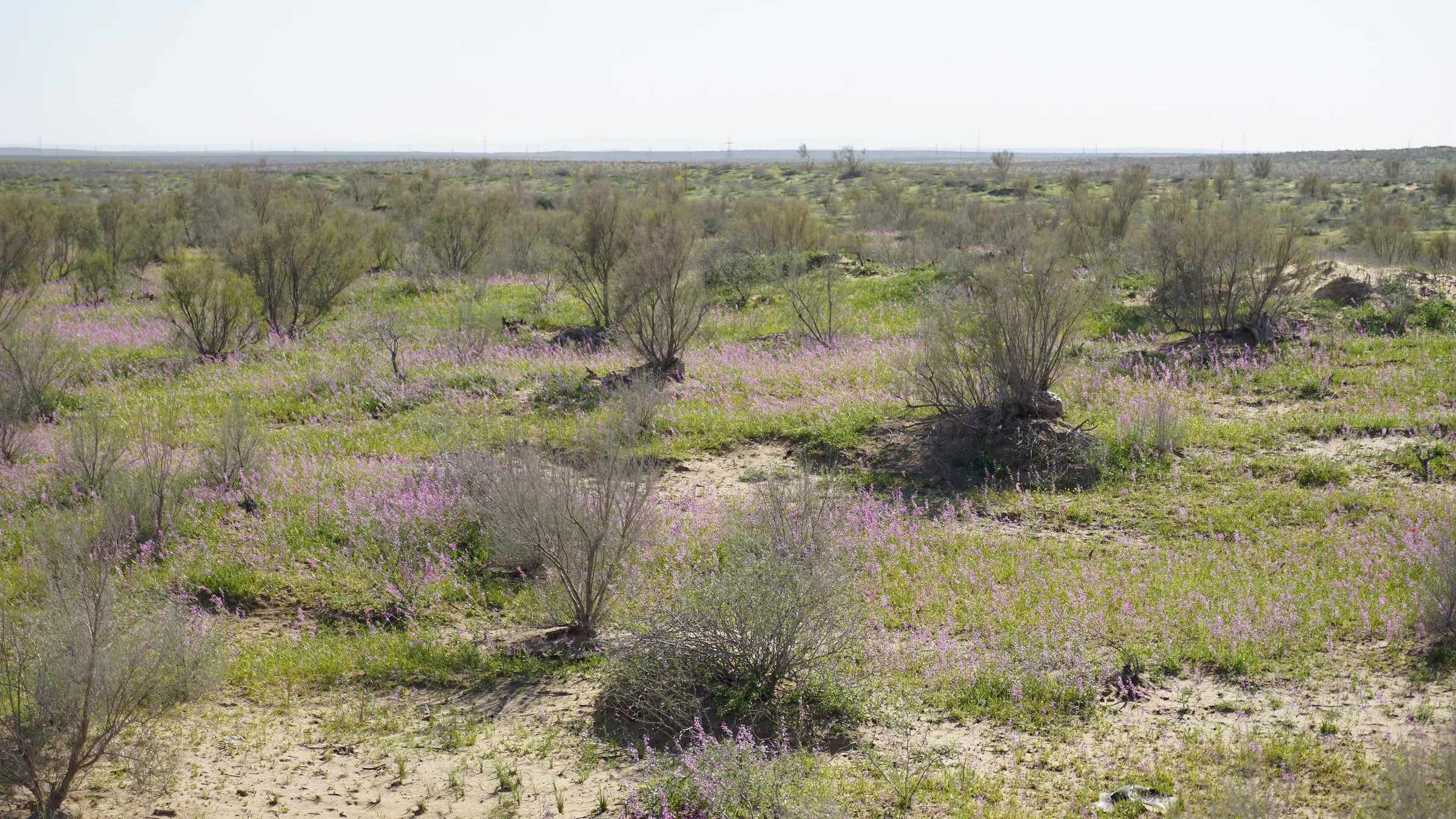
The Kyzylkum ('red sands' in Turkic) is a sandy and stony desert between the Amu Darya and Syr Darya, shared by Uzbekistan, Kazakhstan and Turkmenistan and covering about 300,000 km². It is a plain sloping north-west (from 300 m in the south-east to 53 m in the north-west), dotted with closed depressions and deeply eroded residual mountains — Bukantau (764 m), Kuljuktau (785 m) and Tamdytau (Mount Aktau, 922 m). North–south sand ridges cover most of it.
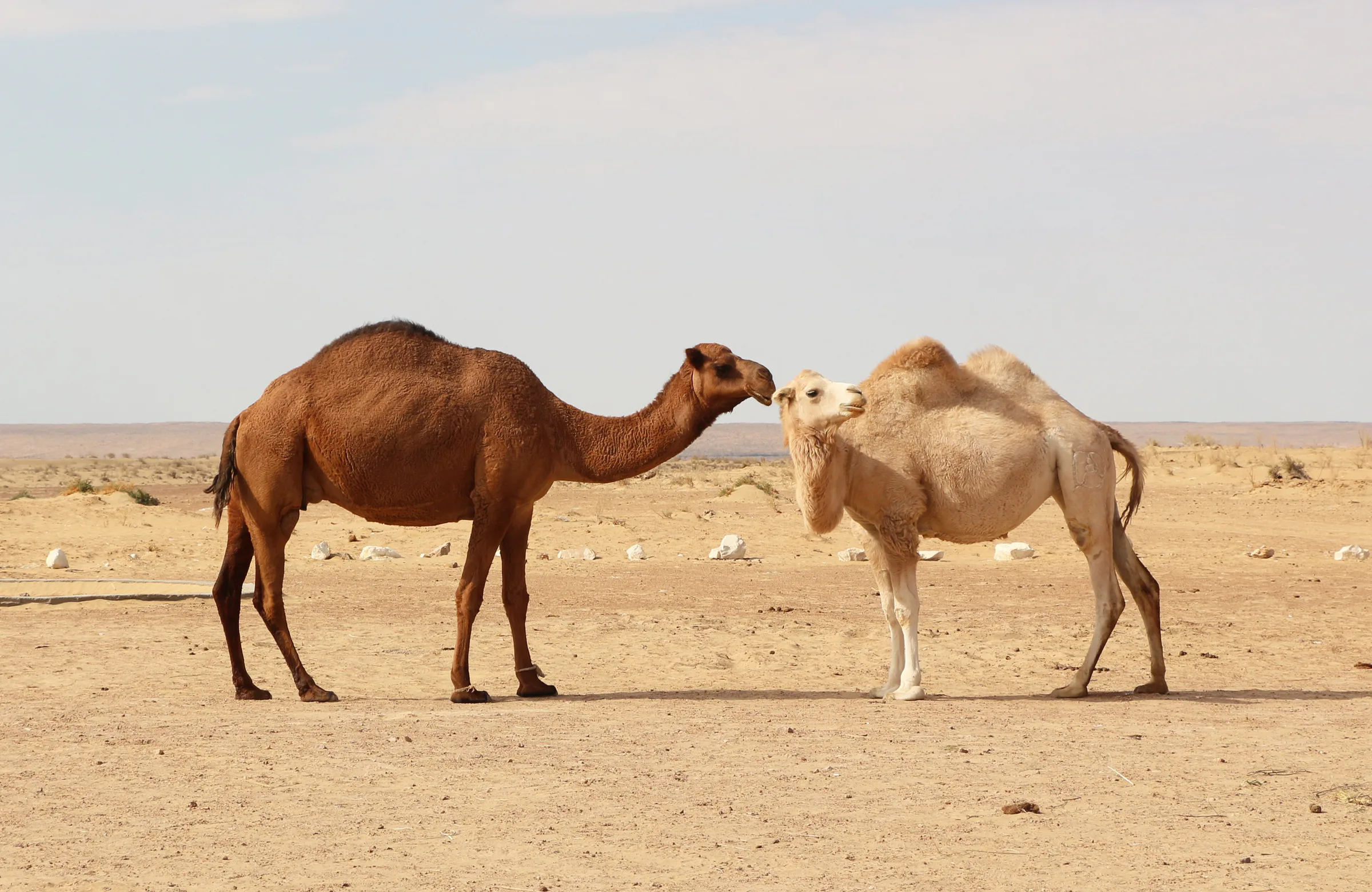
The climate is sharply continental: July averages +26 to +29 °C, January 0 to −9 °C, and around 200 mm of rain falls a year, mostly in winter and spring. There are no permanent rivers, but large reserves of fresh artesian groundwater lie beneath. Russian tortoises and desert monitors live here.
The Navoiy part of the Kyzylkum is the heart of Uzbekistan's mining industry. Muruntau in Tomdi District is one of the world's largest gold deposits: discovered in 1958, mined commercially since 21 July 1969, its open pit stretches 3.5 km by 2.7 km and reaches 600 m deep. The towns of Zarafshon and Uchquduq grew up around gold and uranium mines.
For travellers the draws are the yurt camps by Aydarkul, the 'Stone Forest' and dinosaur locality at Jaraquduq, and off-road desert trips.
Nature · Nurota District
A 'sea in the sand' in the Kyzylkum
Nature · Uchquduq District
A Cretaceous seashore in the middle of the Kyzylkum
Modern · Uchquduq District
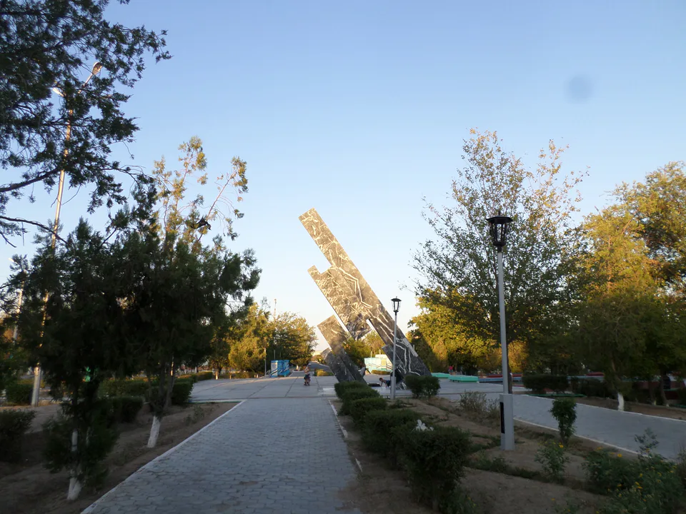
'Uchkuduk — three wells': the desert town from the song