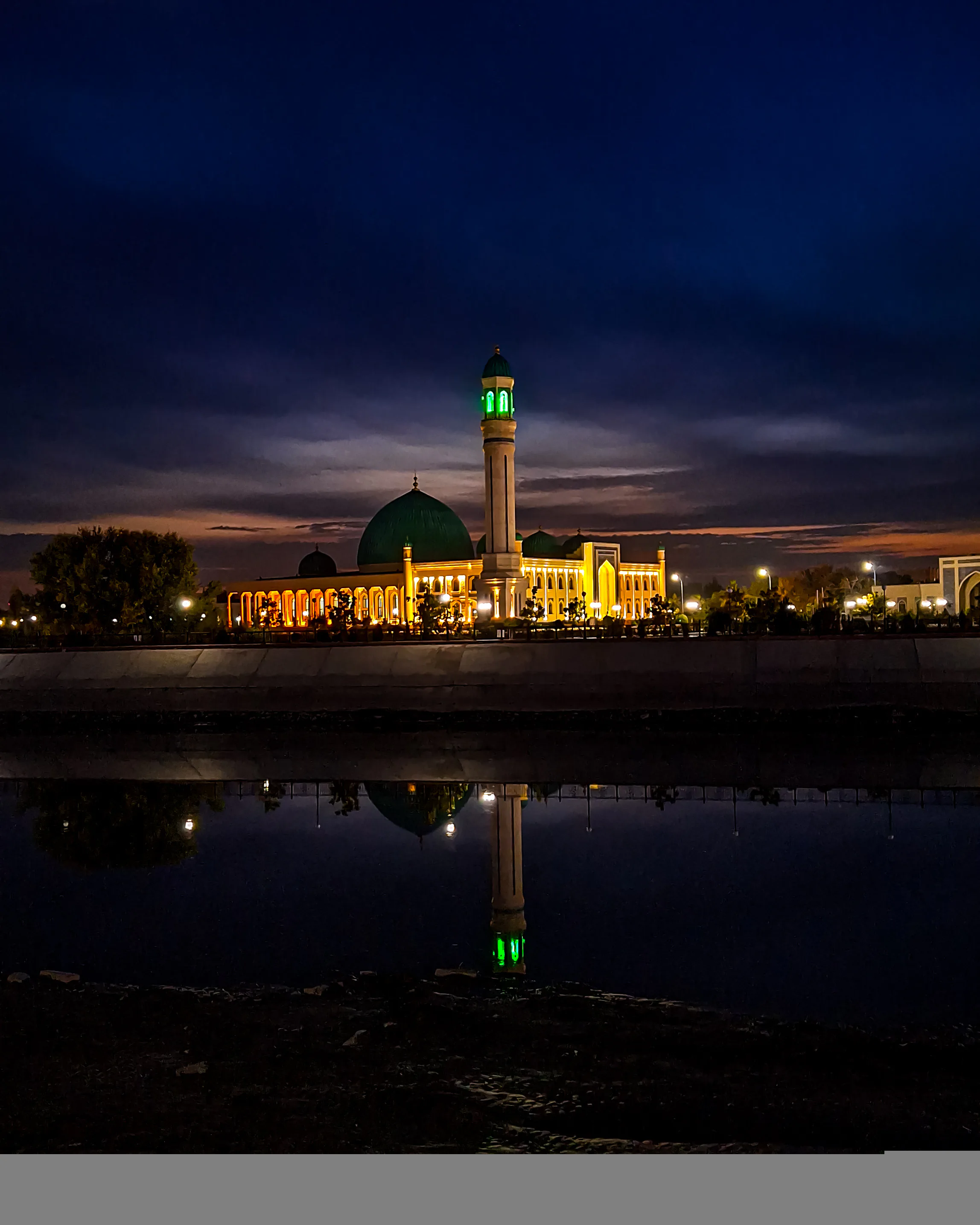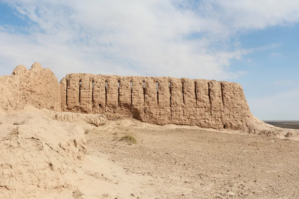
Archaeology · Ellikqala District
Ayaz Kala
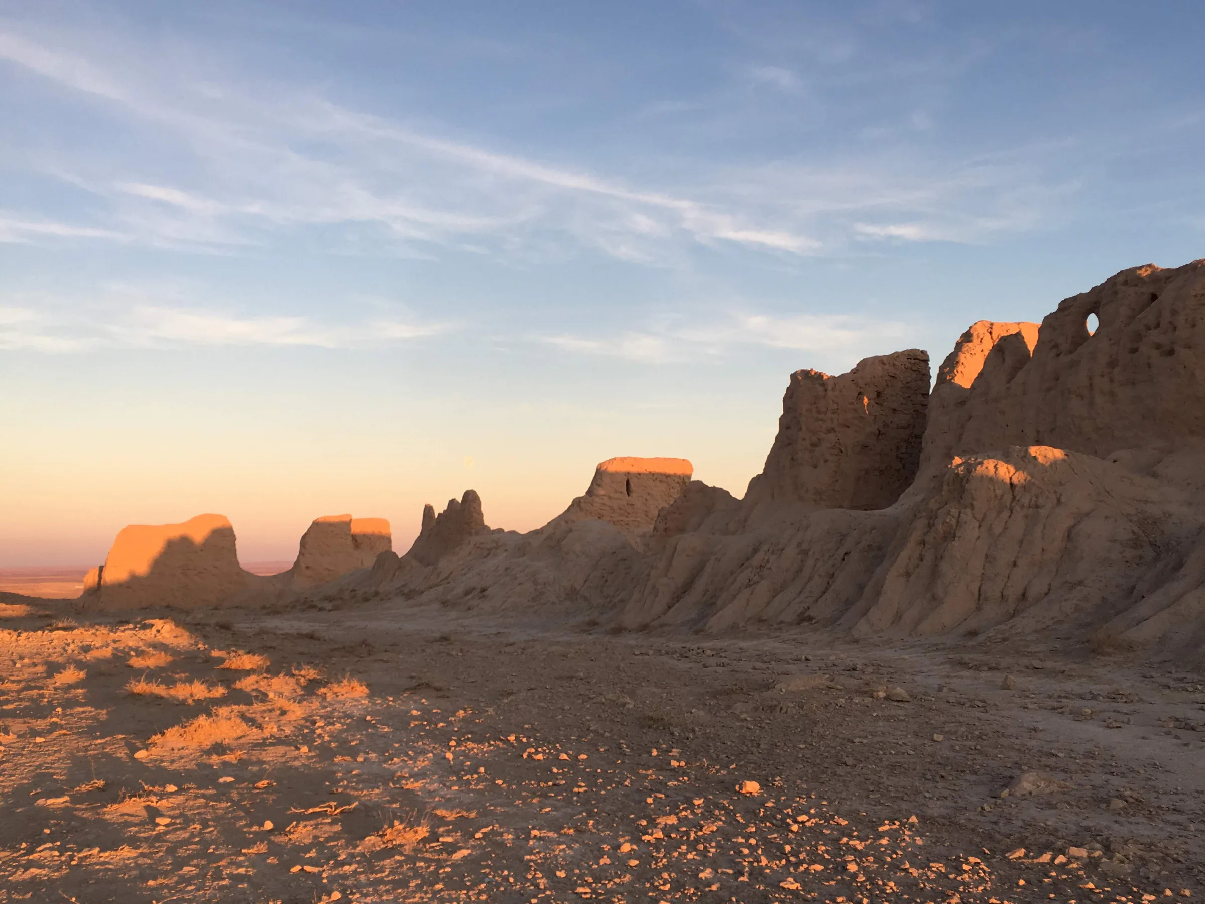
Three fortresses above the Kyzylkum
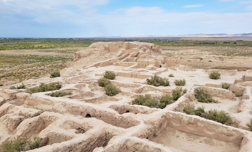
Desert castles, the Aral Sea and a museum of forbidden art
A sovereign republic within Uzbekistan with its own constitution, parliament and language. The Ellikqala fortresses, the Savitsky Museum, Mizdahkan, the Aral Sea and the Ustyurt make it the country’s wildest region.
The Republic of Karakalpakstan is a sovereign parliamentary republic within Uzbekistan, its status set out in a separate chapter of Uzbekistan’s Constitution. It has its own constitution, adopted on 9 April 1993, a parliament called the Jokargy Kenes, a Council of Ministers, and its own flag, coat of arms and anthem. Its state languages are Karakalpak and Uzbek; Karakalpak belongs to the Kipchak branch of the Turkic languages and is written in Latin script. Citizens of Karakalpakstan are at the same time citizens of Uzbekistan. The capital is Nukus.
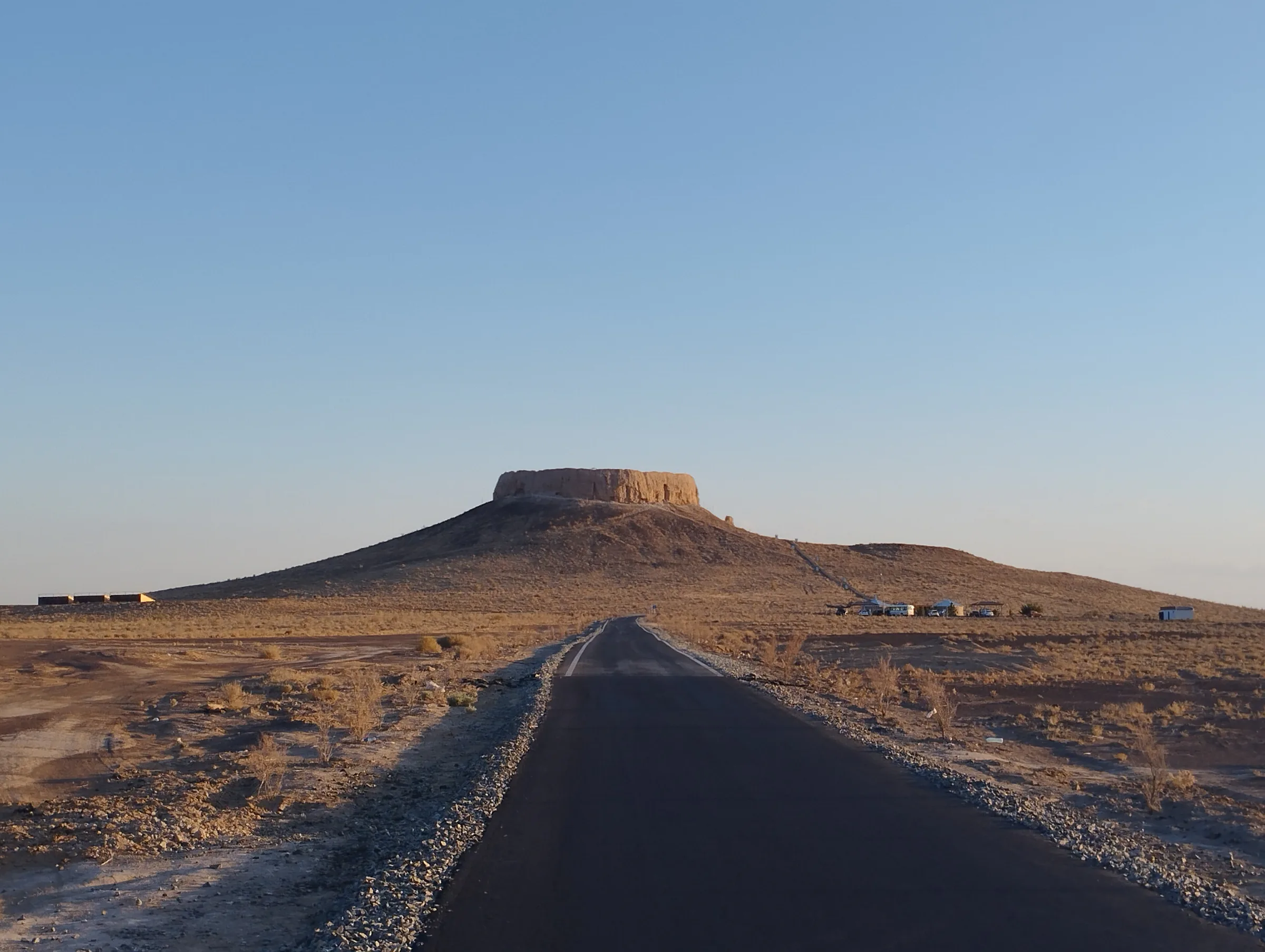
The coat of arms shows the mythical Humo bird, the rising sun, the Amu Darya and the Chilpik dakhma — emblems of the land’s ancient past and its nature.
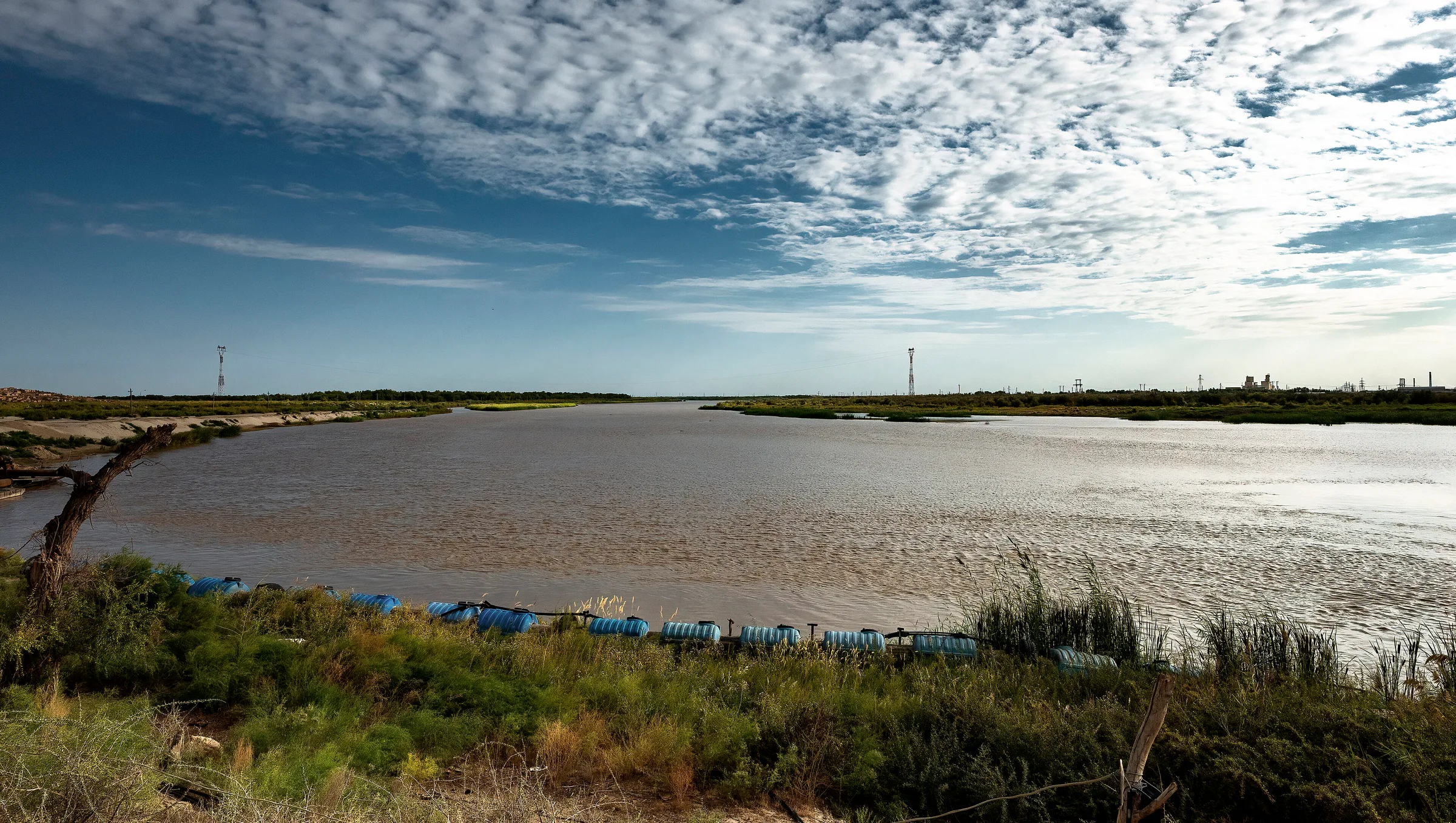
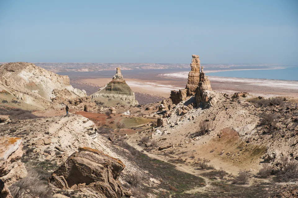
Karakalpakstan occupies the northwest of Uzbekistan on the Turan Lowland and, at 166,600 km², is the country’s largest region. It borders Kazakhstan to the north and west, Turkmenistan to the south, Xorazm and Bukhara to the southeast and Navoiy to the east. The Kyzylkum stretches to the northeast, the Karakum to the southwest and the Ustyurt Plateau to the northwest; deserts cover more than 80% of the territory, and the Amu Darya and its delta are its lifeline.
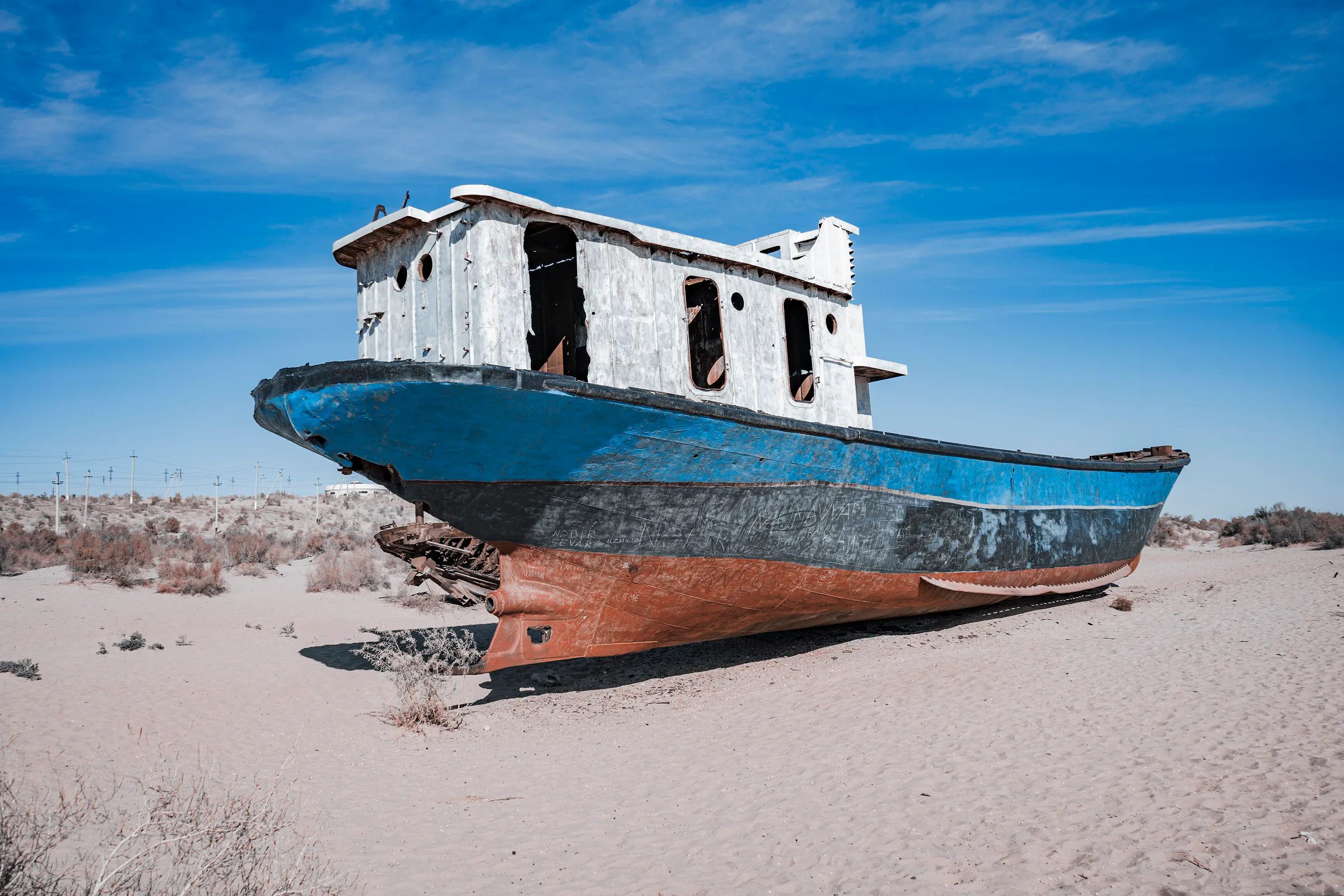
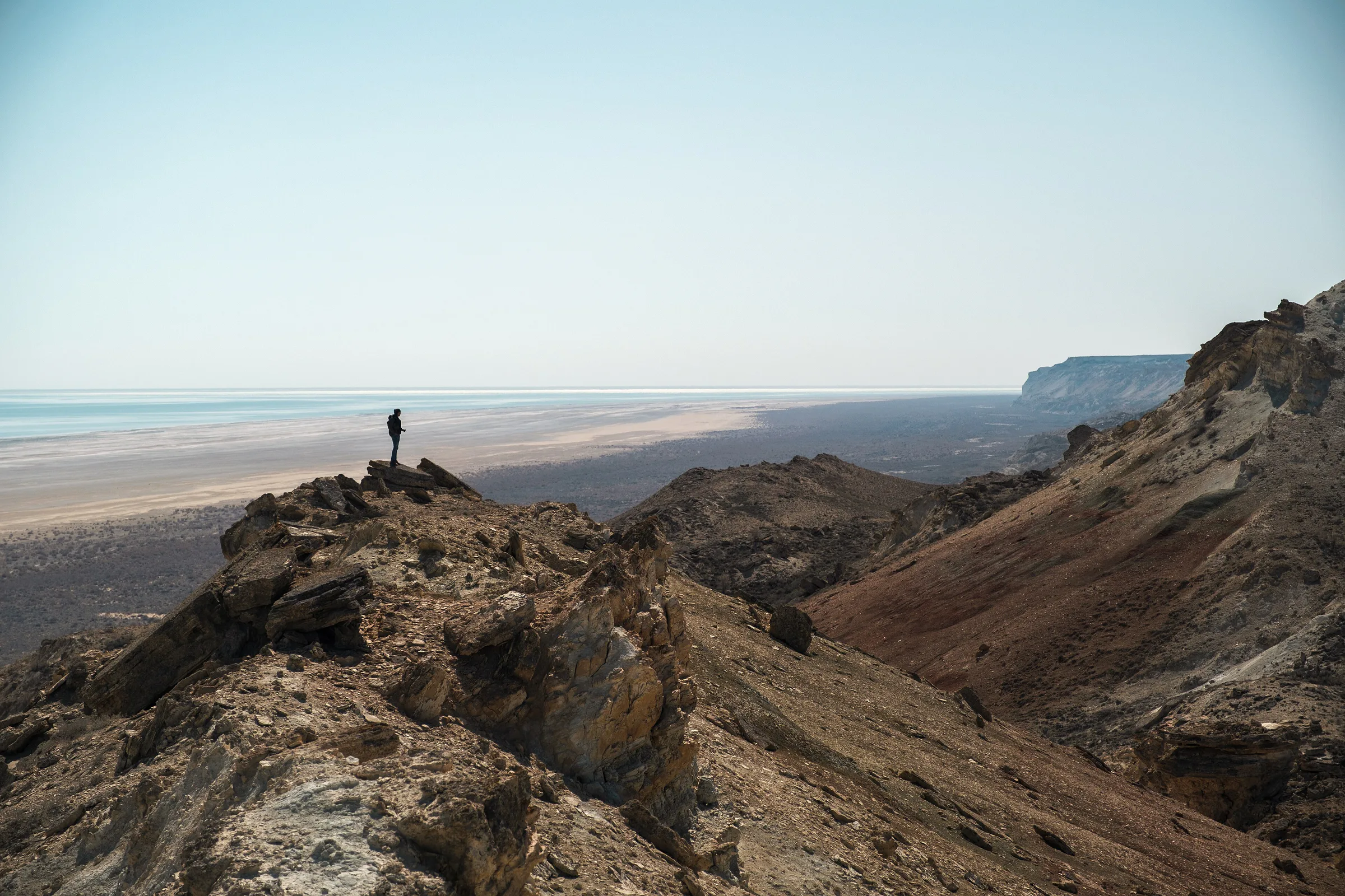
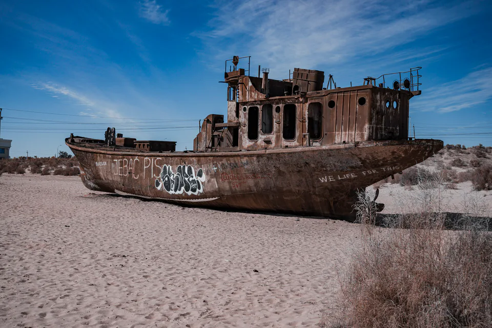
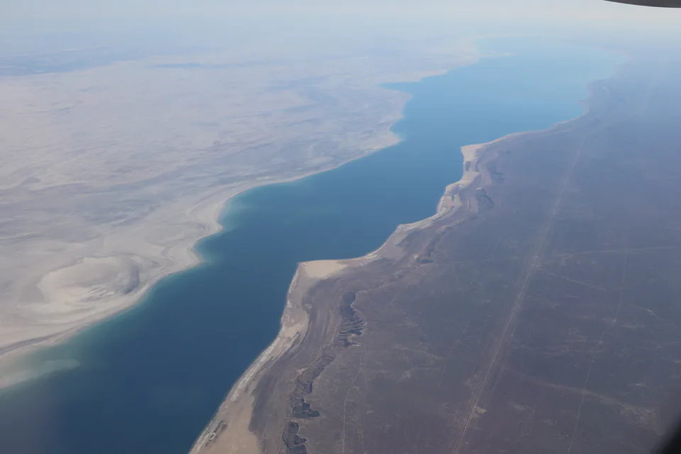
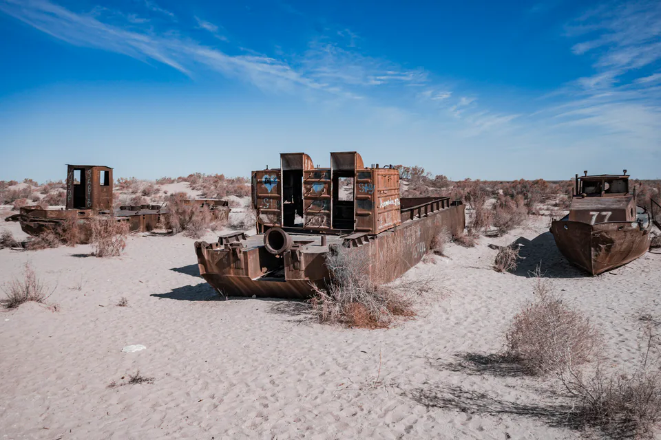
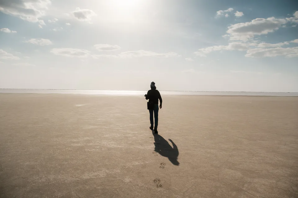
The republic also takes in the southern half of the shrinking Aral Sea, whose bed has become a new desert, the Aralkum; the area has been declared an ecological disaster zone. Protected areas include the Lower Amu Darya Biosphere Reserve (formerly Badai-Tugai), the Sudochye-Akpetki and Saigachiy reserves and the South Ustyurt and Aralkum national parks. The population was 2.05 million at the start of 2026.
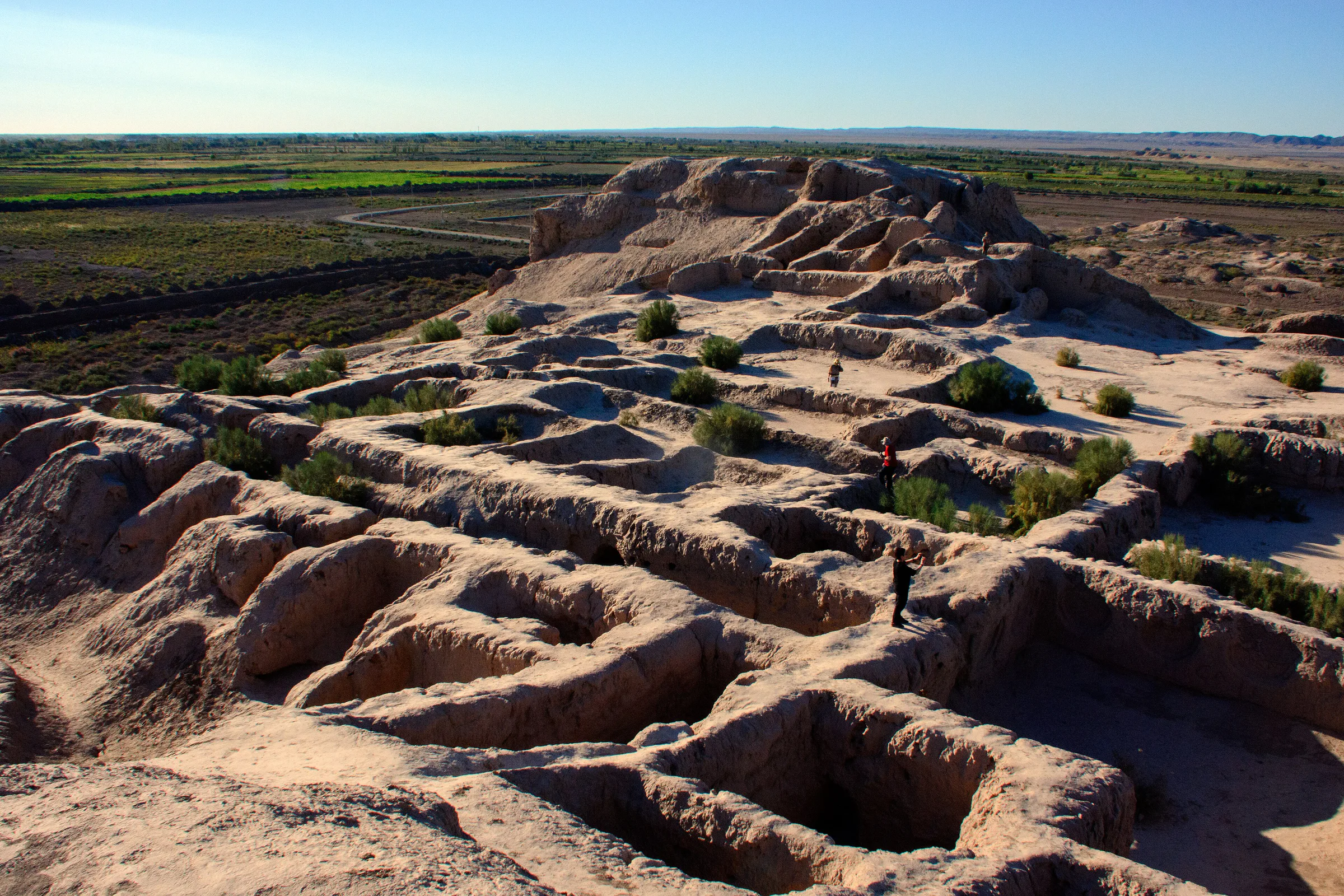
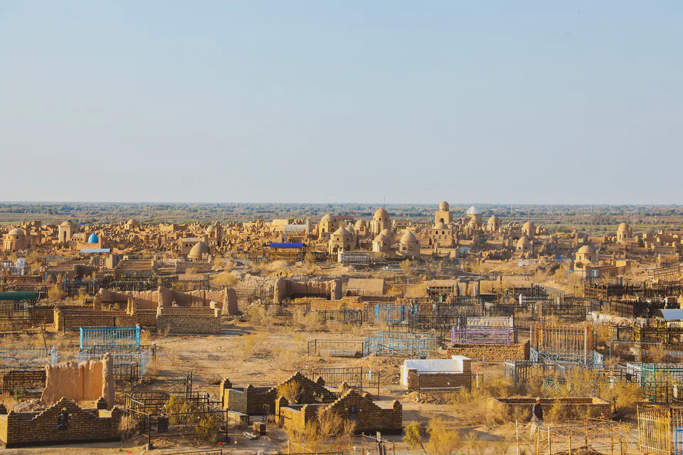
Today’s Karakalpakstan was a heartland of ancient Khorezmian civilisation. The “fifty fortresses” on the Amu Darya’s right bank — Toprak Kala, Ayaz Kala, Koi Krylgan Kala, Janbas Kala and others — went up from the 4th century BCE, and in the 2nd–3rd centuries CE Toprak Kala was Khorezm’s capital. The Afrighid capital of Kath, now the town of Beruniy, was the birthplace of al-Biruni in 973, and Mizdahkan was Khorezm’s third city in the 10th century.
The Karakalpaks — the “black hats” — are a Turkic people who settled firmly in the Amu Darya delta in the 18th–19th centuries under the Khiva Khanate. From 1873 the right bank belonged to the Amu Darya department of Russian Turkestan. A Karakalpak autonomous region centred on Turtkul was formally established in February 1925, became an autonomous republic in 1932 with its capital moved to Nukus, and joined the Uzbek SSR in 1936. A declaration of sovereignty followed on 14 December 1990, and since 9 January 1992 it has been the Republic of Karakalpakstan.
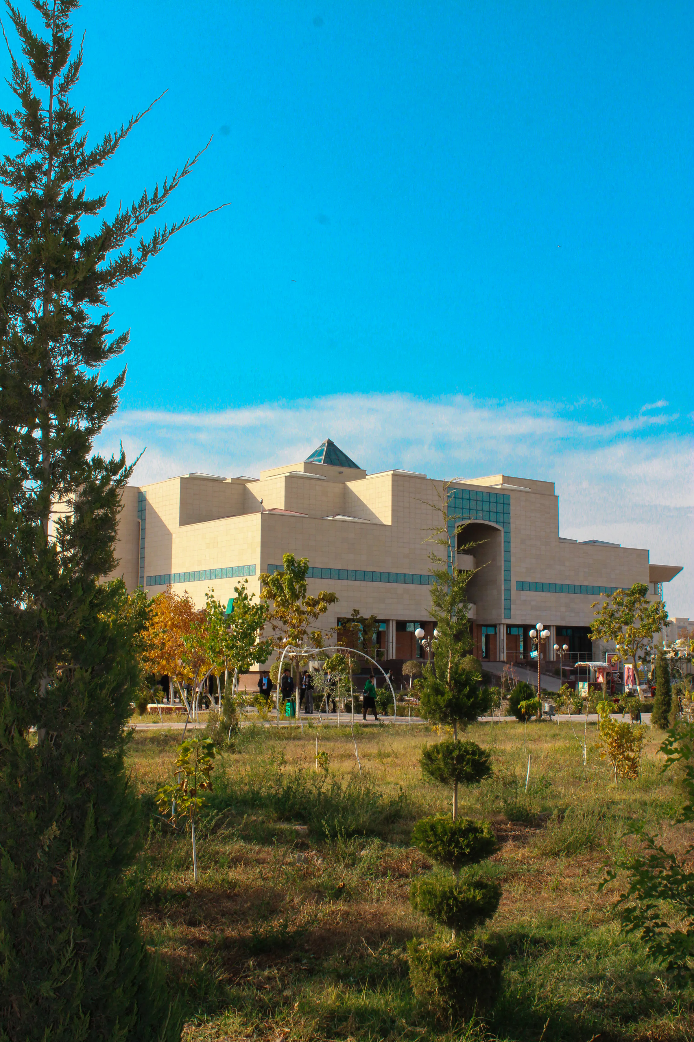
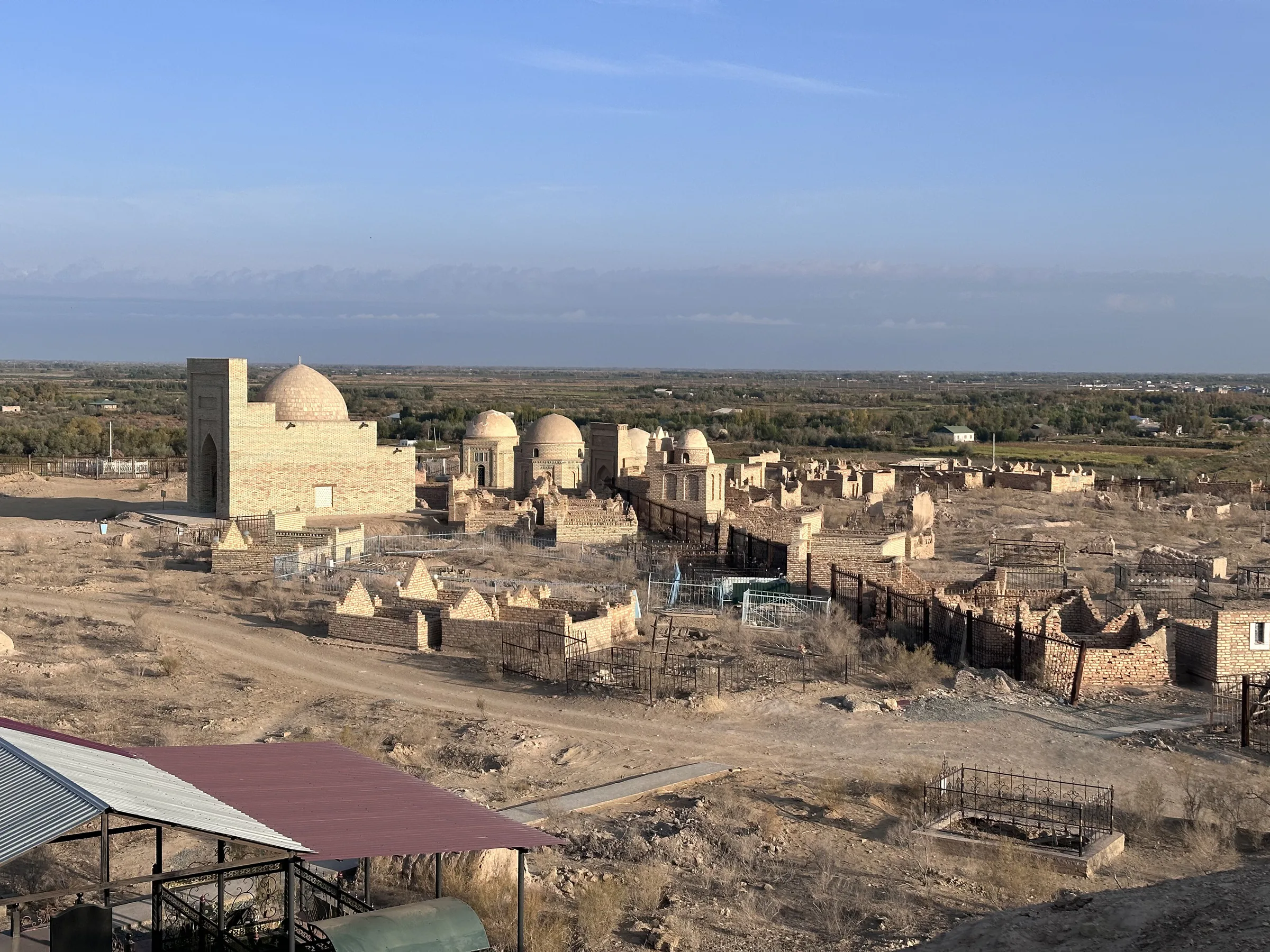
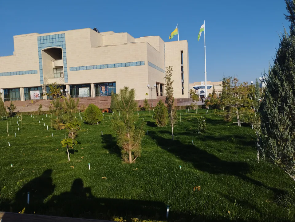
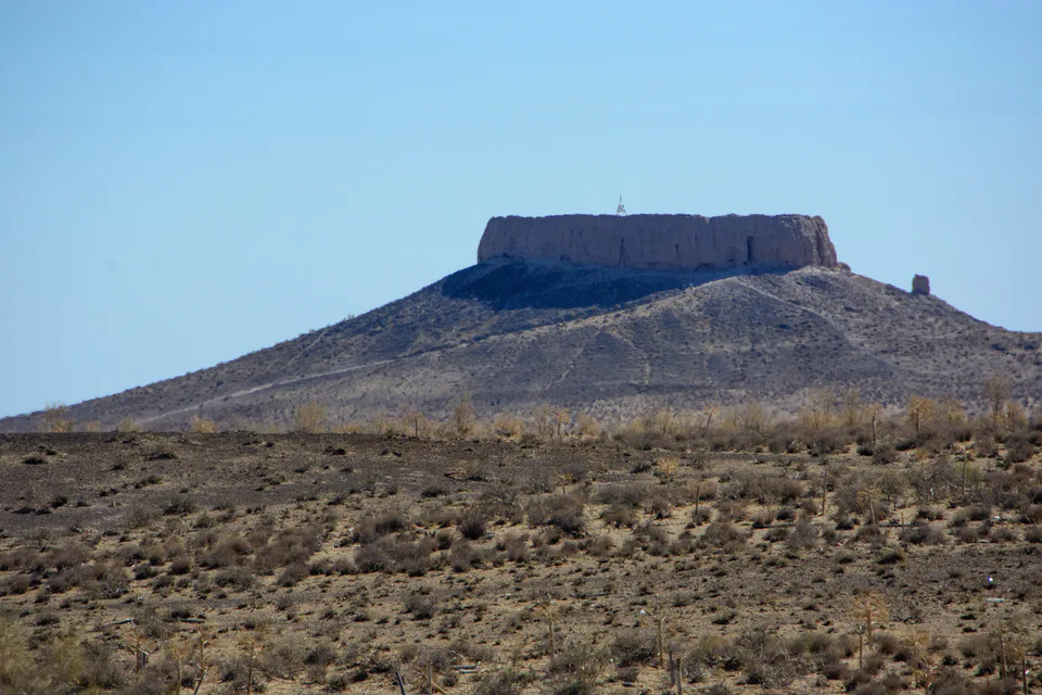
Nukus is home to the Savitsky State Museum of Arts, with the world’s second-largest collection of Russian avant-garde art, ancient Khorezmian finds and Karakalpak folk art. Near the capital lie the Mizdahkan necropolis and Gyaur Kala, and to the southeast the Zoroastrian dakhma of Chilpik. Ellikqala and Turtkul districts hold Toprak Kala, Ayaz Kala, Kyzyl Kala, Guldursun, Janbas Kala and Koi Krylgan Kala, while Beruniy District has the Sultan Uvays Bobo shrine and the Badai-Tugai woods, home to the Bukhara deer.
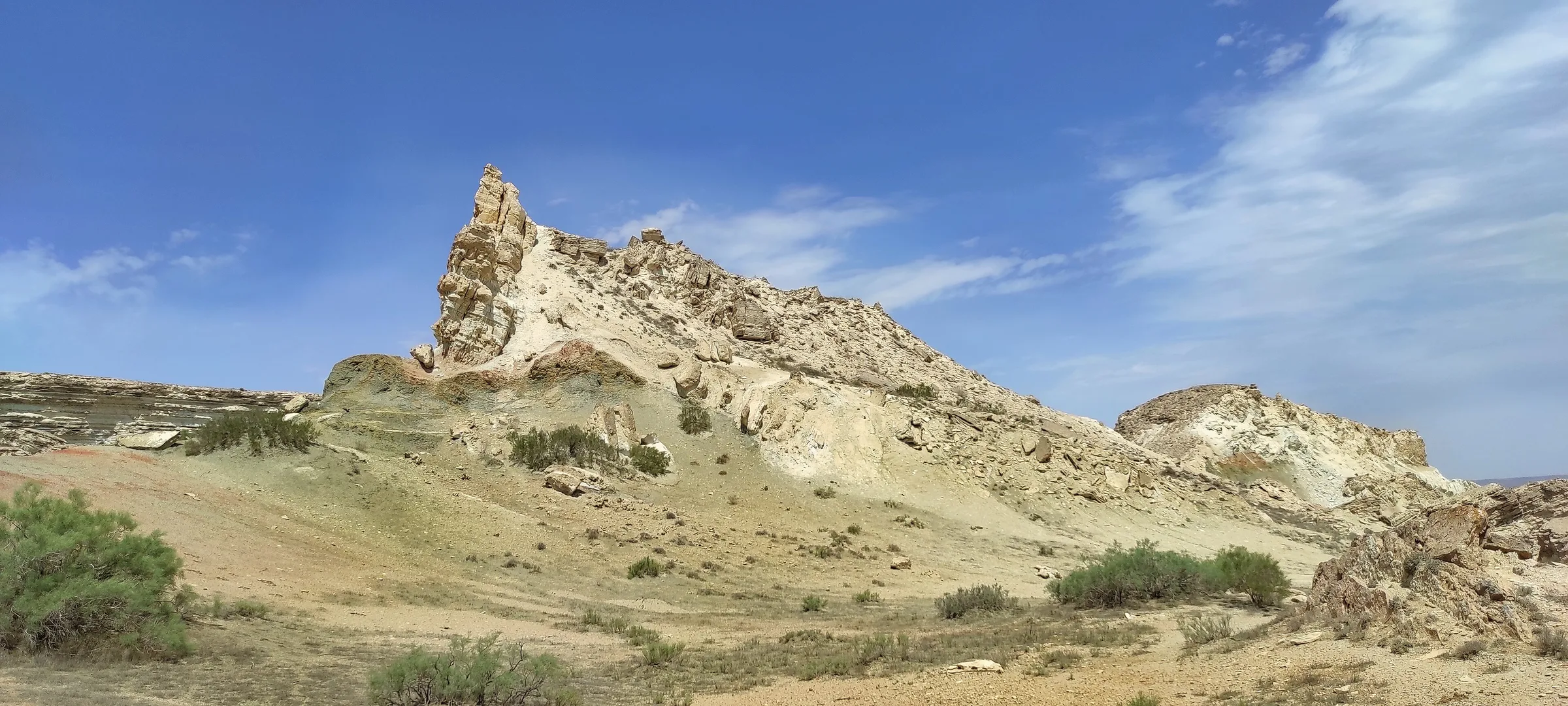
In the north, Moynaq’s ship cemetery and museum tell the story of the Aral, and trips continue to the Sudochye lakes, the Ustyurt escarpments and the sea’s western shore.
Karakalpak culture blends nomadic and farming traditions. The verse of the folk poets Berdakh (1827–1900) and Ajiniyaz (1824–1878) and the epics sung by zhyrau and bakhshi bards — among them Kyrk Kyz, the tale of forty warrior maidens — lie at the heart of national identity, and silver jewellery, embroidered costume, carpets and yurt furnishings fill the Savitsky Museum.
Nukus airport has regular flights from Tashkent, and Tashkent–Nukus trains run too. Nukus is about three hours by road from Khorezm, and the Ellikqala fortresses make an easy day trip from Khiva or Urgench. Moynaq lies some 200 km north of Nukus; a trip to the Aral Sea and the Ustyurt usually takes two days by 4×4.
Archaeology · Ellikqala District
Three fortresses above the Kyzylkum
Archaeology · Amudaryo District
A Zoroastrian “tower of silence”
Archaeology · Khojeyli District
Adam’s grave and the holy hills of Khorezm
Museum · Moynaq District
The port the sea abandoned
Nature · Moynaq District
The vanishing sea
Museum · Nukus
Forbidden art saved in the middle of the desert
Archaeology · Ellikqala District
The palace city of ancient Khorezm’s kings
Nature · Qo‘ng‘irot District
The stone desert between the Caspian and the Aral
Archaeology · Ellikqala District
One of Khorezm’s largest fortresses — and a princess’s tale
Archaeology · Khojeyli District
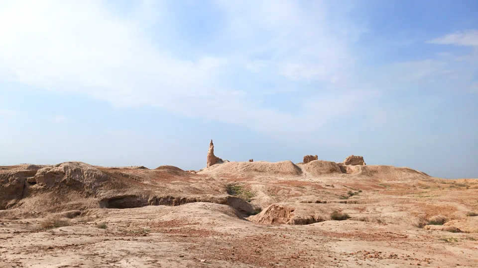
Mizdahkan’s oldest fortress
Archaeology · Turtkul District
An ancient township built around a fire temple
Mausoleum · Khojeyli District
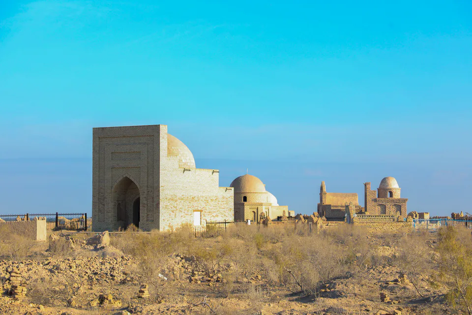
An underground tiled tomb and a tale of love
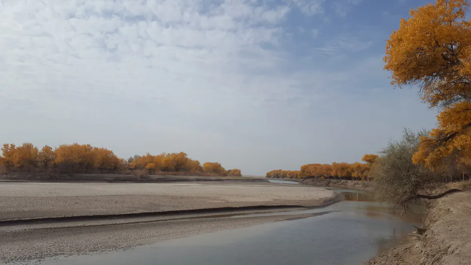
Nature · Beruniy District
The great refuge of the Bukhara deer
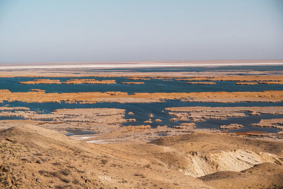
Nature · Moynaq District
Delta lakes where the flamingos returned
Pilgrimage site · Beruniy District
One of Karakalpakstan’s great shrines
Archaeology · Beruniy District
The capital before Toprak Kala
Archaeology · Qo‘ng‘irot District
A gateway with lions in the middle of the Ustyurt
Archaeology · Qoraozak District
A medieval river port on the Amu Darya
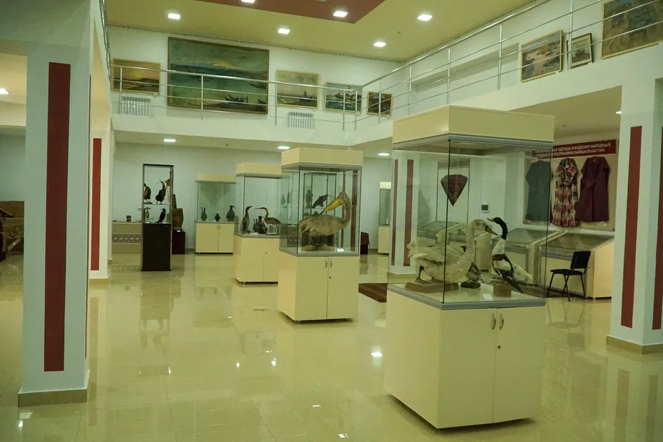
Museum · Moynaq District
A sea that survives in paintings
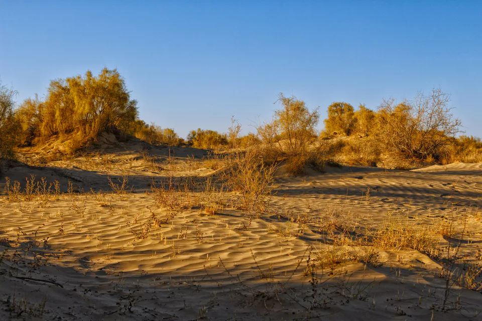
Nature · Moynaq District
Protecting a desert born on a seabed
Republic of Karakalpakstan
Airport, railway station and bus stations — addresses, timetables and the live board.
All transportRepublic of Karakalpakstan
Road distance, the fastest train and whether there is a direct flight.
All distances| City | Road, km | By car | By train | Flight | Bus |
|---|---|---|---|---|---|
| Urgench Khorezm Region |
163 | 2 h 5 min | — | — | — |
| Muynak Republic of Karakalpakstan |
198 | 3 h 13 min | — | — | — |
| Khiva Khorezm Region |
200 | 2 h 28 min | — | — | — |
| Bukhara Bukhara Region |
546 | 6 h 42 min | 8 h 20 min 128Ф |
— | — |
| Navoi Navoiy Region |
626 | 8 h 14 min | 9 h 35 min 128Ф |
— | — |
| Karshi Kashkadarya Region |
719 | 8 h 52 min | — | — | — |
| Samarkand Samarkand Region |
777 | 10 h 30 min | 11 h 25 min 128Ф |
— | — |
| Tashkent Tashkent (city) |
1,102 | 15 h 21 min | 16 h 3 min 128Ф |
5 flights | 1 route |
Weather: MET Norway
Republic of Karakalpakstan
Checked hotels and places to eat — with addresses, phone numbers, opening hours and price levels.
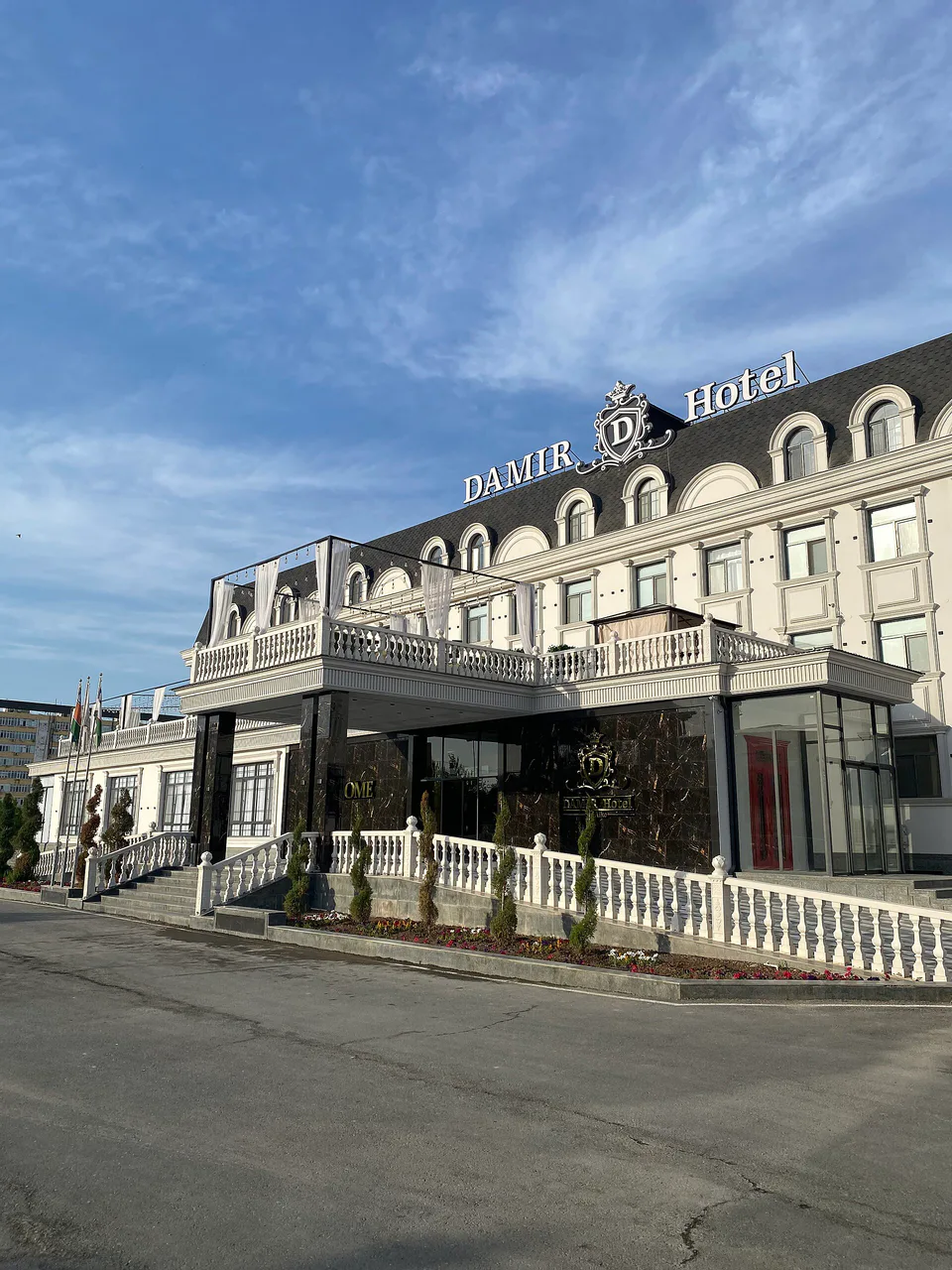
A refurbished mid-range hotel
A new international-chain hotel in Nukus
A modern hotel near the airport
A quiet hotel by the Savitsky Museum
A 41-room hotel with a decorated courtyard
A budget hostel in Nukus
A central Nukus hotel with spacious rooms
A hotel near the Savitsky Museum
A small hotel in Muynak
A yurt camp beneath ancient Ayaz-Kala
A family guest house in Muynak
A boutique guest house for solo travellers and families
The Nukus branch of a national fast-food chain
A café famous for its cakes
A coffee shop by the Savitsky Museum
A restaurant in Muynak
A restaurant with a dance floor and live music
A restaurant with live music
A popular café with a hall and veranda
A national-food restaurant with an unusual interior
A Turkish restaurant by the Savitsky Museum
A teahouse serving Karakalpak food
An inexpensive canteen with home cooking
A contemporary-style restaurant in Nukus
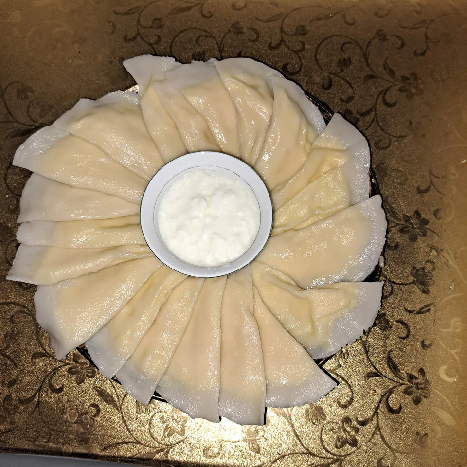
Dish · Khorezm, Karakalpakstan
Khorezm’s signature dish: delicate boiled dumplings filled with raw egg mixed with milk or butter.
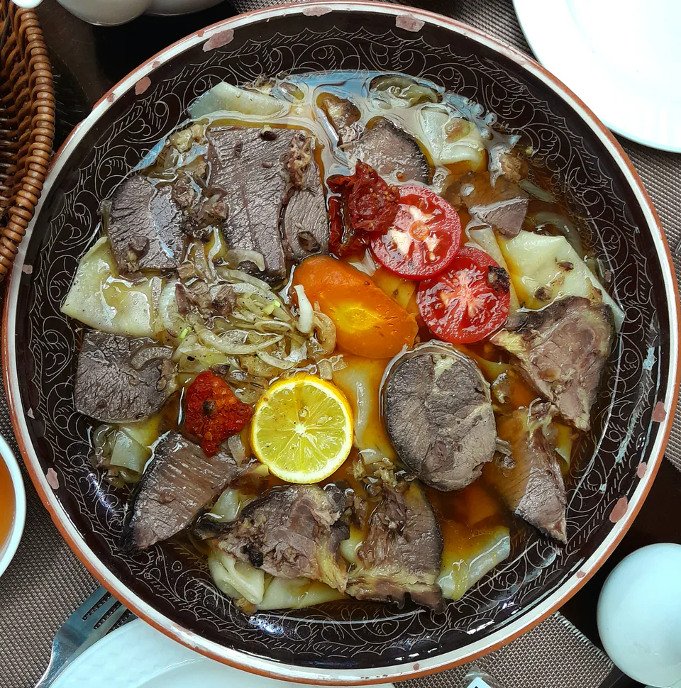
Dish · Karakalpakstan
The Karakalpaks’ festive dish: boiled meat and sorghum-flour dumplings are finely chopped, mixed and served on a shared platter with broth.
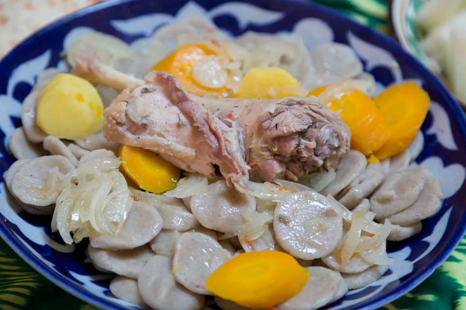
Dish · Karakalpakstan, Khorezm
An old dish of Karakalpak and Khorezm cooking: coin-shaped sorghum-flour dumplings simmered in meat broth.
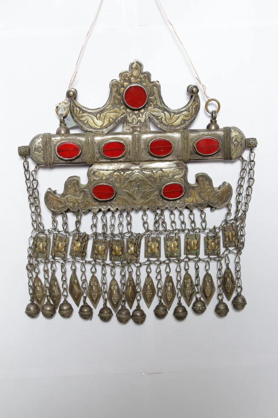
Craft · Karakalpakstan
The heavy silver jewellery of Karakalpak women: the bride’s breast ornament, nose-ring, moon-shaped brooches and tumar amulets against the evil eye.
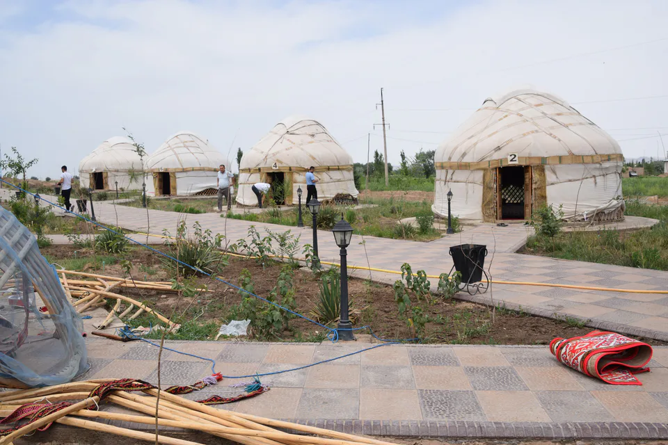
Craft · Karakalpakstan
A portable home of wooden lattice and felt that goes up in a few hours: the skills of building Karakalpak yurts joined UNESCO’s list in 2025.
Tradition · Surkhandarya, Kashkadarya +2
Epic poems sung from memory to the dombra, kobyz or dutar — the performers of Alpamysh and Go‘ro‘g‘li; UNESCO-listed since 2021.
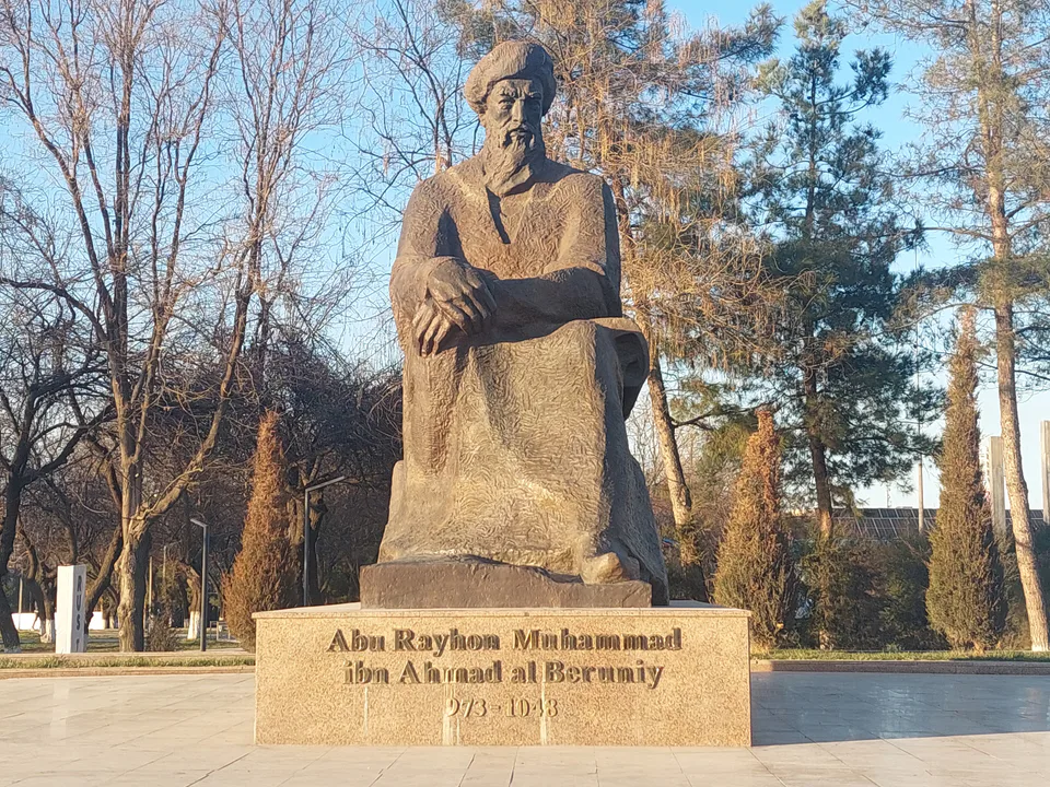
973–1048
Polymath: astronomer, mathematician, historian, geographer
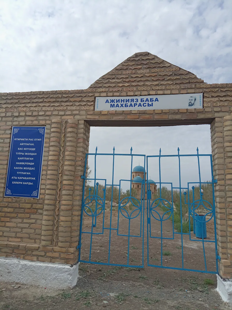
1824–1878
Karakalpak poet, thinker, bakhshi
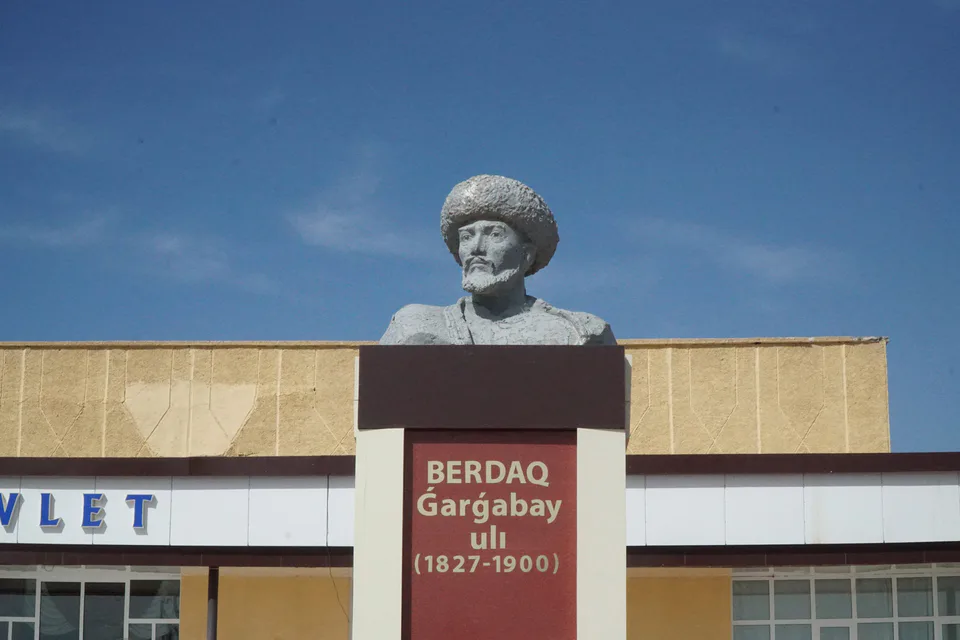
1827–1900
Karakalpak poet, founder of the Karakalpak literary language
1886–1957
Painter, founder of the “Turkestan avant-garde”
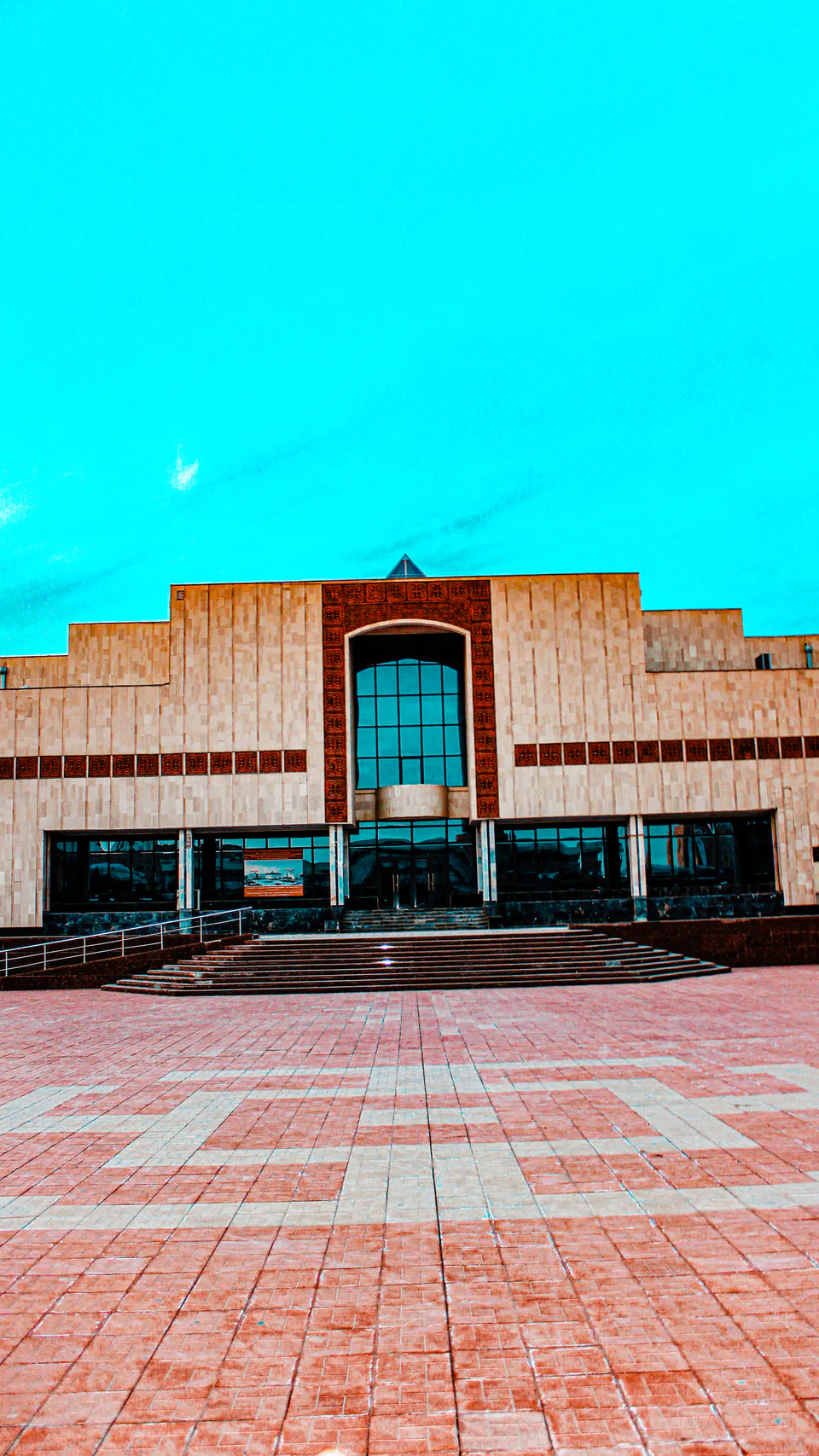
1915–1984
Artist, collector, museum founder
14days
Grand tour
Tashkent (city)FerganaSamarkandKashkadaryaNavoiyBukharaKhorezmKarakalpakstan
4days
Expedition
KarakalpakstanKhorezm
3days
Classic
KhorezmKarakalpakstanKhorezm
Republic of Karakalpakstan
Khokimiyat, public service centre and other offices: addresses, phones, hours.
All offices (76)Khokimiyat
50 Garezsizlik St, Nukus
Mon–Fri 9:00–18:00, lunch 13:00–14:00
Read morePublic Service Centre
35 Karakalpakstan St, Nukus
Read moreRepublic of Karakalpakstan
Bank branches and offices in the region: addresses and phones.
All banks (19)Karakalpakstan regional comprehensive service centre · Nukus
102 Islom Karimov Street, Nukus
+998 61 222 03 18Nukus banking services office · Nukus
6 Qoraqalpogʻiston Street, Nukus 230100
+998 55 503 57 57Karakalpakstan banking services centre · Nukus
25A T. Qayipbergenov Street, Nukus 230100
+998 61 224 11 43Republic of Karakalpakstan
Codes 230100–231618. The main code of each city and district:
All postcodes (117)Republic of Karakalpakstan
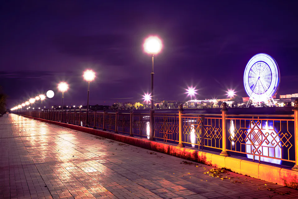
city · Capital of Karakalpakstan and a treasure house of art
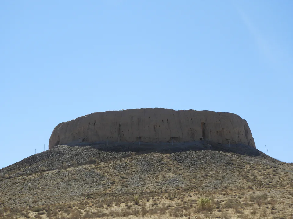
district · Home of the Chilpik dakhma
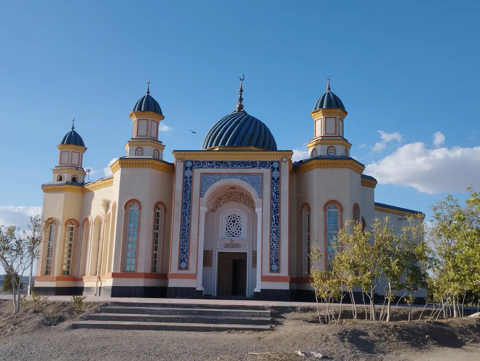
district · Al-Biruni’s birthplace — ancient Kath
district · The delta’s smallest district
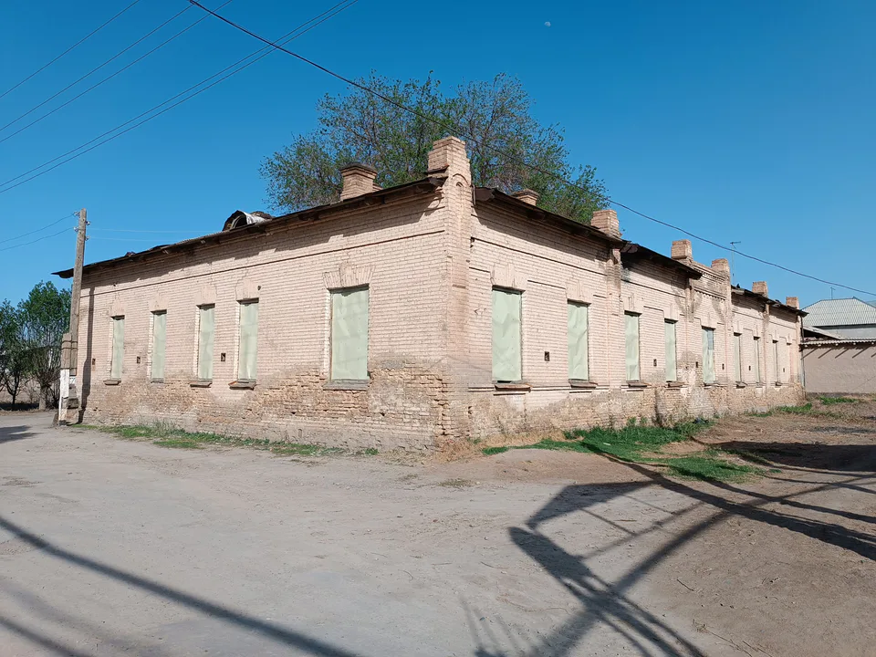
district · An old market town on the Kegeyli canal
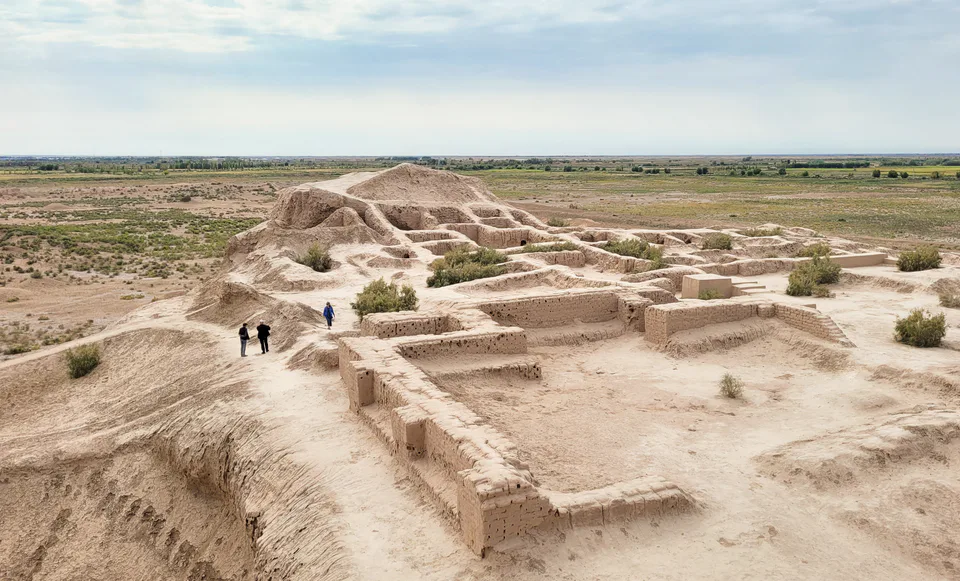
district · The oasis of “fifty fortresses”
district · A canal shaded by kegay trees
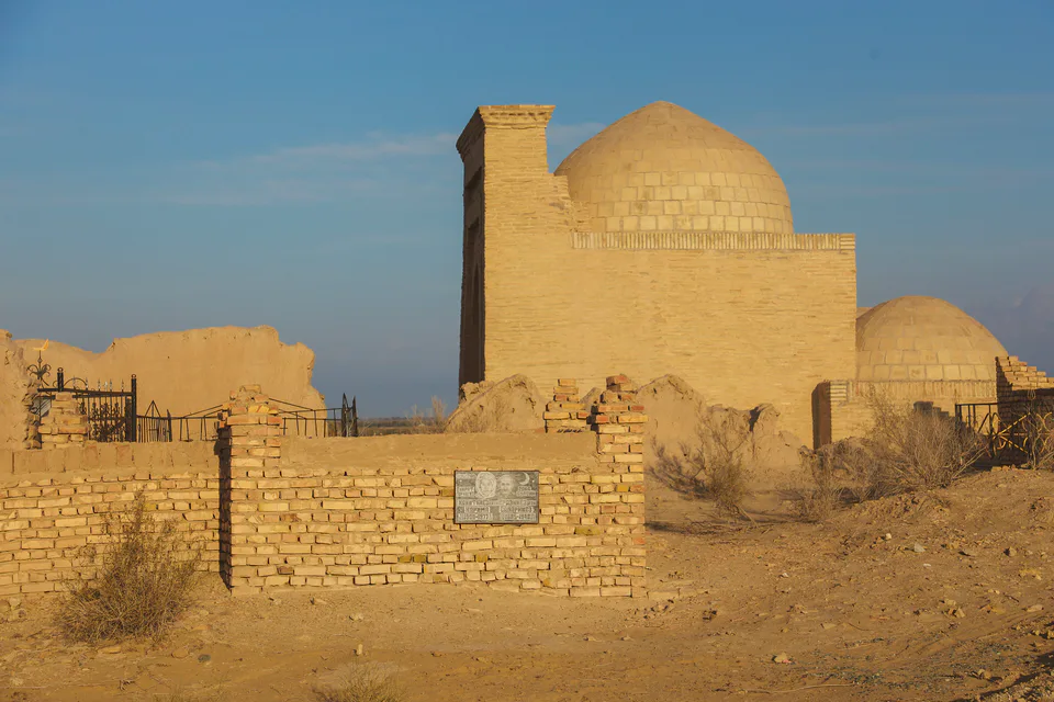
district · Beside the hills of Mizdahkan
district · The former shore of the Aral Sea
district · Ancient mounds around the capital
district · Among the dry channels of the Amu Darya
district · The largest district, covering the Ustyurt
district · The Beltau sands and the channels of the Amu Darya
district · A farming oasis at the foot of the Ustyurt
district · A power town on the Amu Darya
district · Between the Kyzylkum and the Akpetki lakes
district · Karakalpakstan’s first capital