UNESCO
Modern · Parkent District
Big Solar Furnace
A mirror that turns sunlight into 3,000 degrees
The mountains and valleys around the capital
A region stretching from the peaks of the Western Tian Shan to the banks of the Syr Darya: Chimgan and Charvak, Ugam-Chatkal National Park, the ancient cities of Chach and the Zangiata shrine.
Tashkent Region occupies the north-east of Uzbekistan between the Western Tian Shan and the Syr Darya. It borders Kazakhstan to the north and north-west, Kyrgyzstan to the north-east, Namangan Region to the east, Tajikistan to the south and Sirdaryo Region to the south-west, while the capital, Tashkent, forms a separate administrative unit inside it. The region covers 15,150 km² and had 3.16 million inhabitants at the start of 2026.
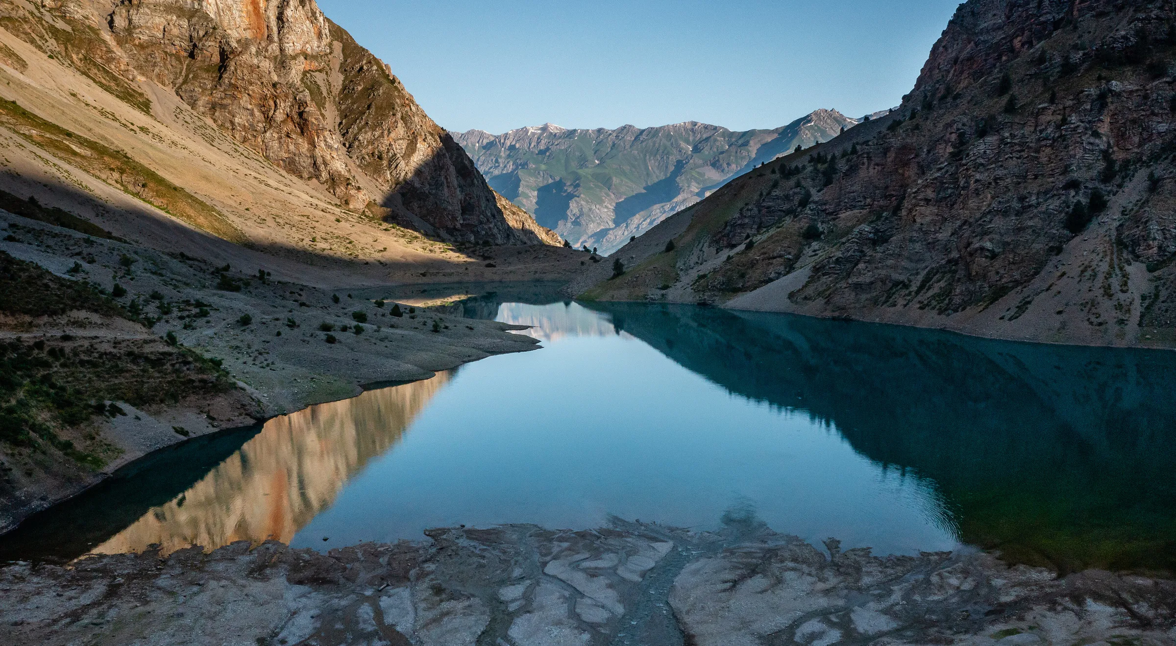
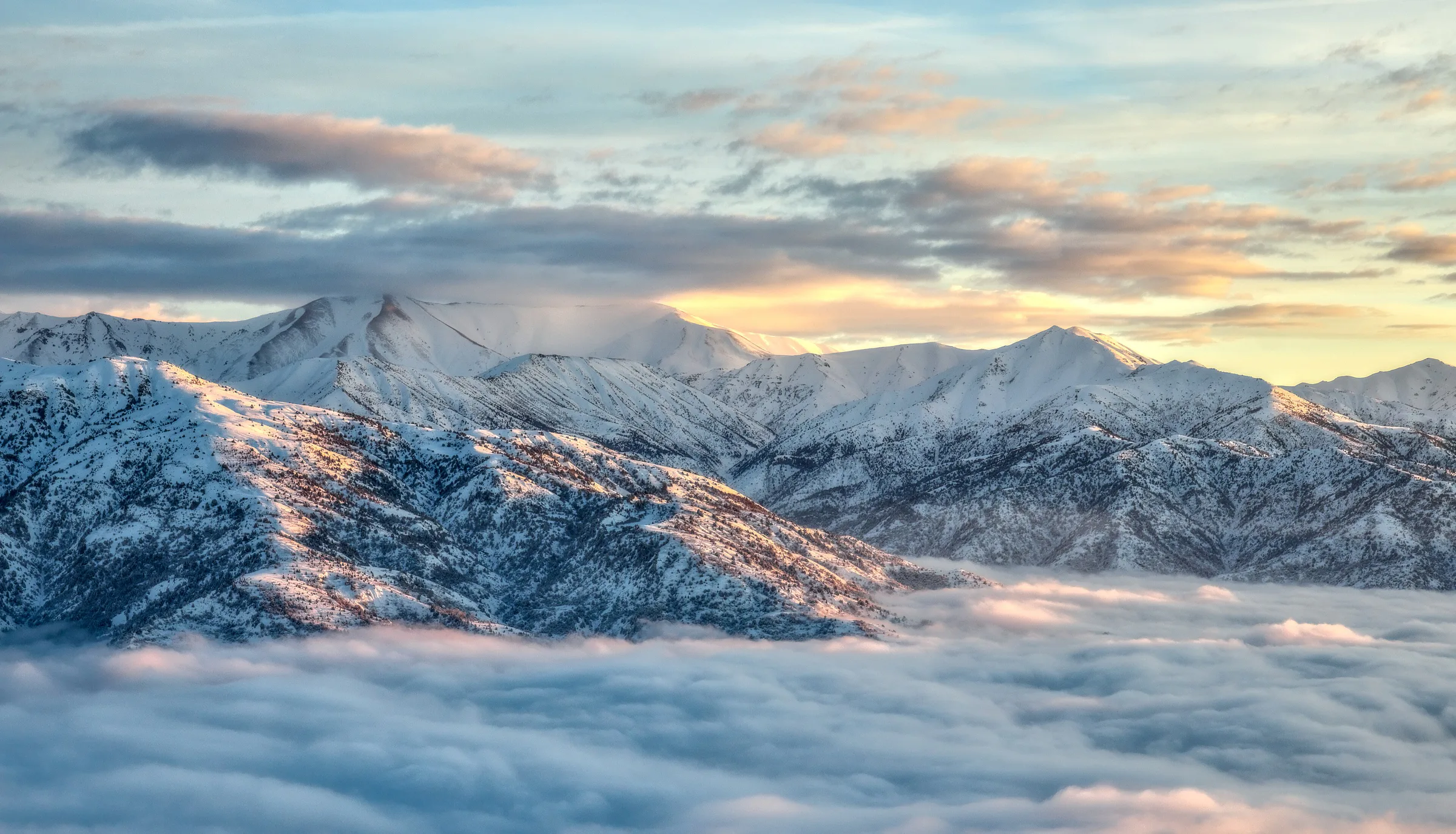
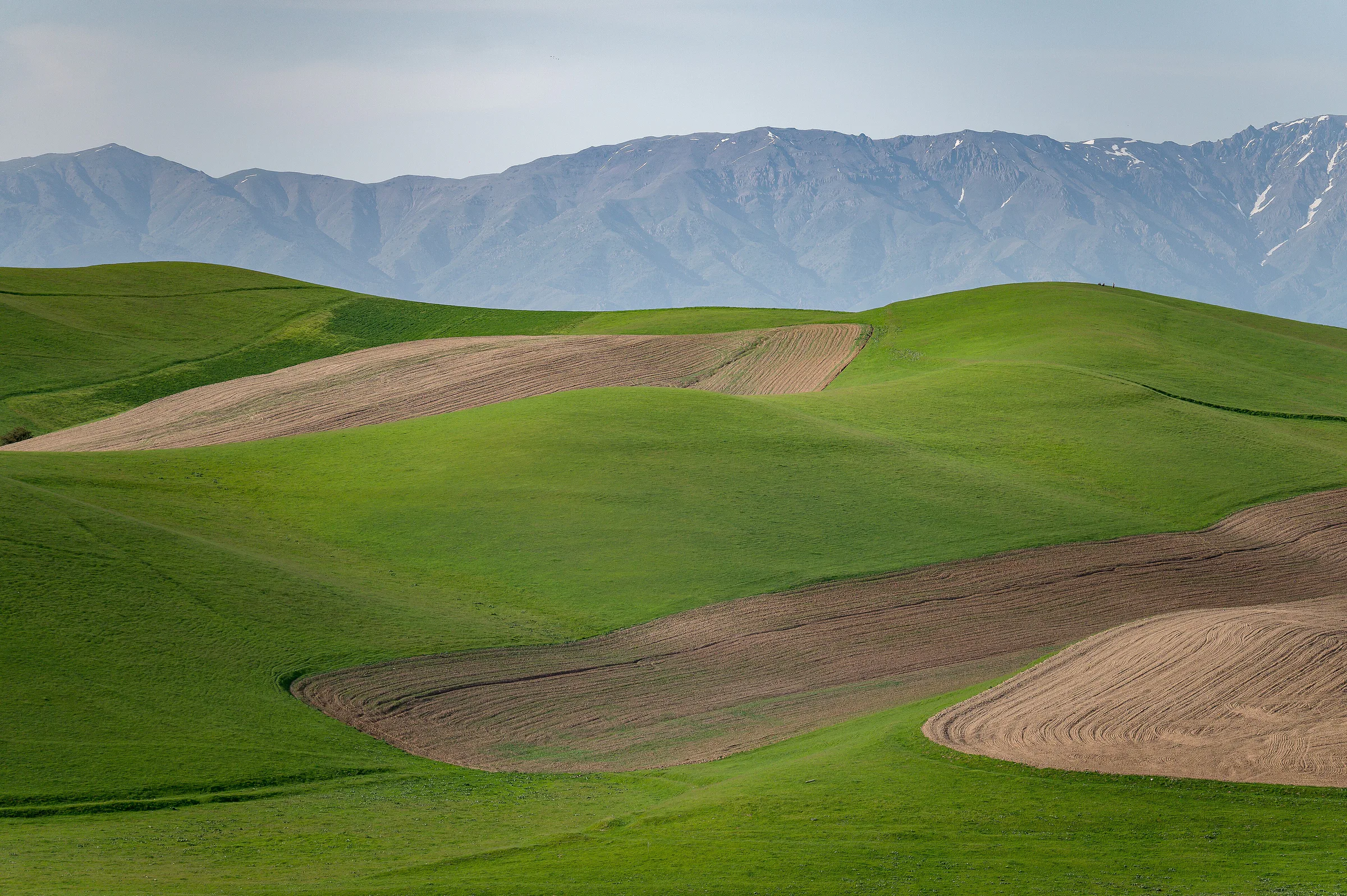
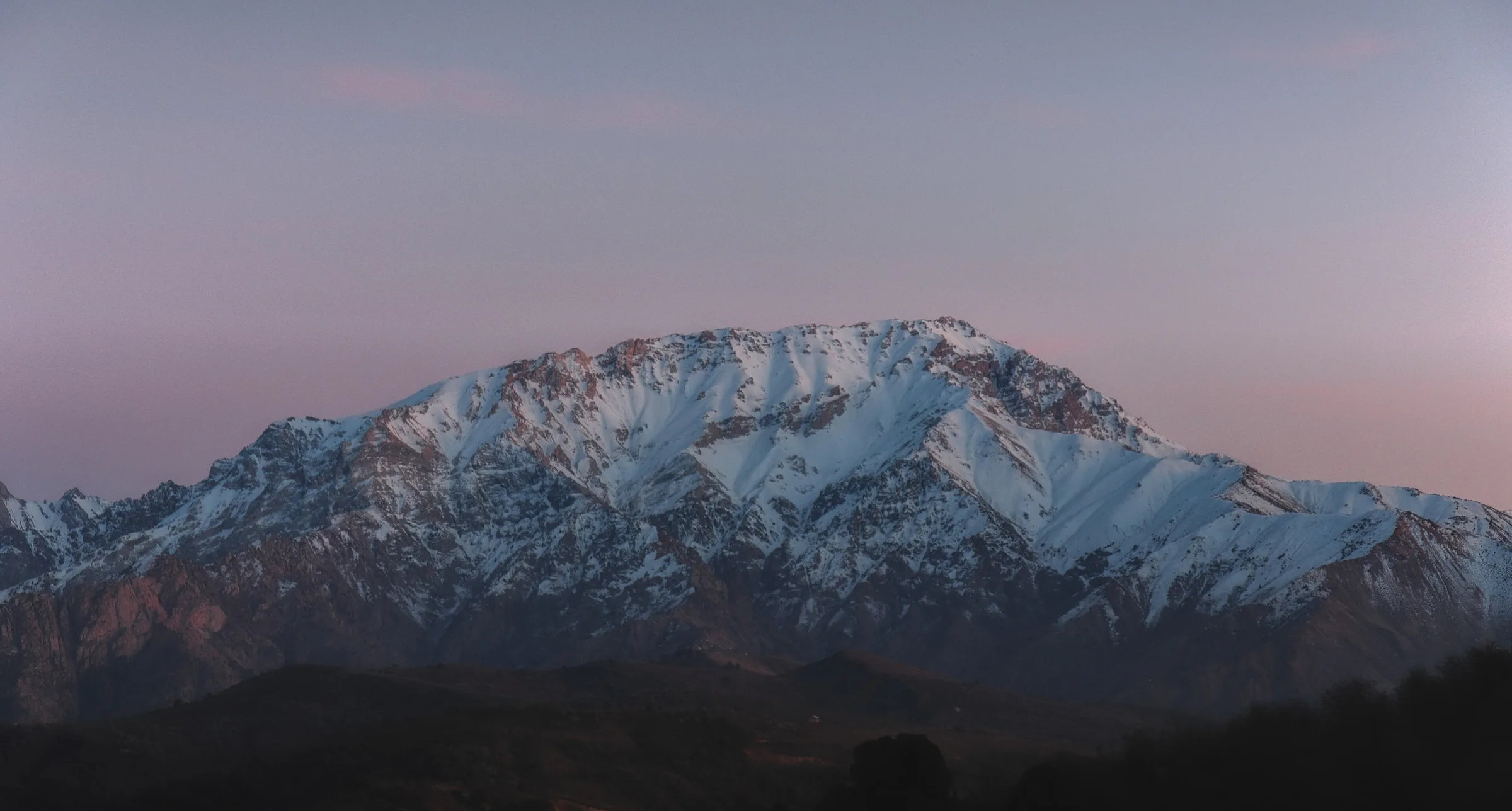
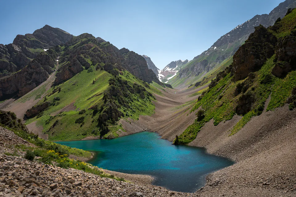
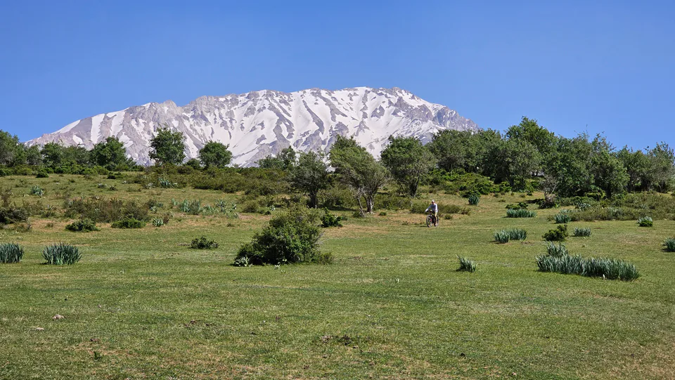
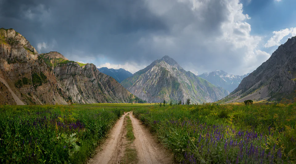
The north and east are taken up by the Chatkal, Kurama, Pskem and Ugam ranges; on the Pskem Range, along the Kyrgyz border, stand Mount Adelung (4,301 m) and Beshtor (4,299 m). Westwards the mountains give way to the fertile plain of the Chirchiq–Akhangaran valley, which slopes down to the Syr Darya. The main rivers are the Syr Darya, Chirchiq, Pskem and Akhangaran, dammed into the Charvak, Tuyabuguz and Akhangaran reservoirs. The climate is sharply continental: January averages −1 to −2 °C and July about 27 °C, with some 250 mm of precipitation on the plains and over 500 mm in the mountains.
Much of the high country lies within Ugam-Chatkal National Park (574,600 ha), created in 1990. Its core, the Chatkal Biosphere Reserve, protected since 1947, became part of UNESCO’s Western Tian Shan World Heritage Site in 2016. The region is also rich in copper, molybdenum, gold, silver and brown coal.
People have lived here since the deep past: at Kulbulak near Angren occupation lasted hundreds of thousands of years, the Obi-Rakhmat grotto in the Paltau valley has yielded Neanderthal remains, and the rocks of Khojikent carry Chalcolithic and Saka-era carvings. A Late Bronze Age hoard was found near Burchmulla.
Around the turn of the era the area belonged to the Kangju state, and Kanka, near the confluence of the Akhangaran and the Syr Darya, is regarded as the first capital of Chach. In the early Middle Ages the principalities of Chach and Ilak were famous for their many castles and towns, and Ilak mined silver and copper. Under the Samanids in the 9th–10th centuries towns such as Binkath, Kharashkat and Tunkat flourished. After the Mongol invasion Timur rebuilt Banakat on the Syr Darya as Shahrukhiya and raised the Zangiata mausoleum.
In the 19th century the Tashkent oasis belonged to the Khanate of Kokand, and from 1865 to the Russian Empire; a military sanatorium opened at Chimgan in 1879. The region was created on 15 January 1938, and Bostanliq District was transferred from the Kazakh SSR in 1956. Soviet industrialisation produced the towns of Chirchiq, Olmaliq, Angren and Bekabad, and in 2017 Nurafshon became the regional capital.
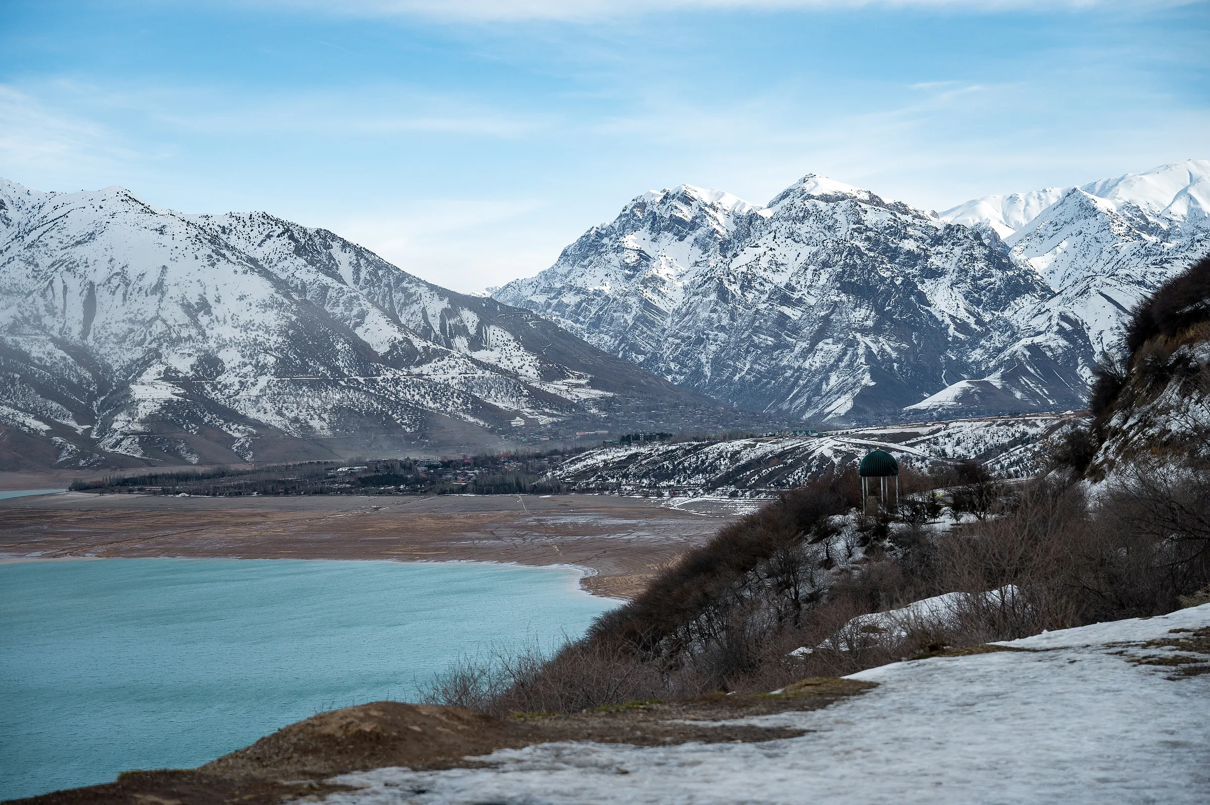
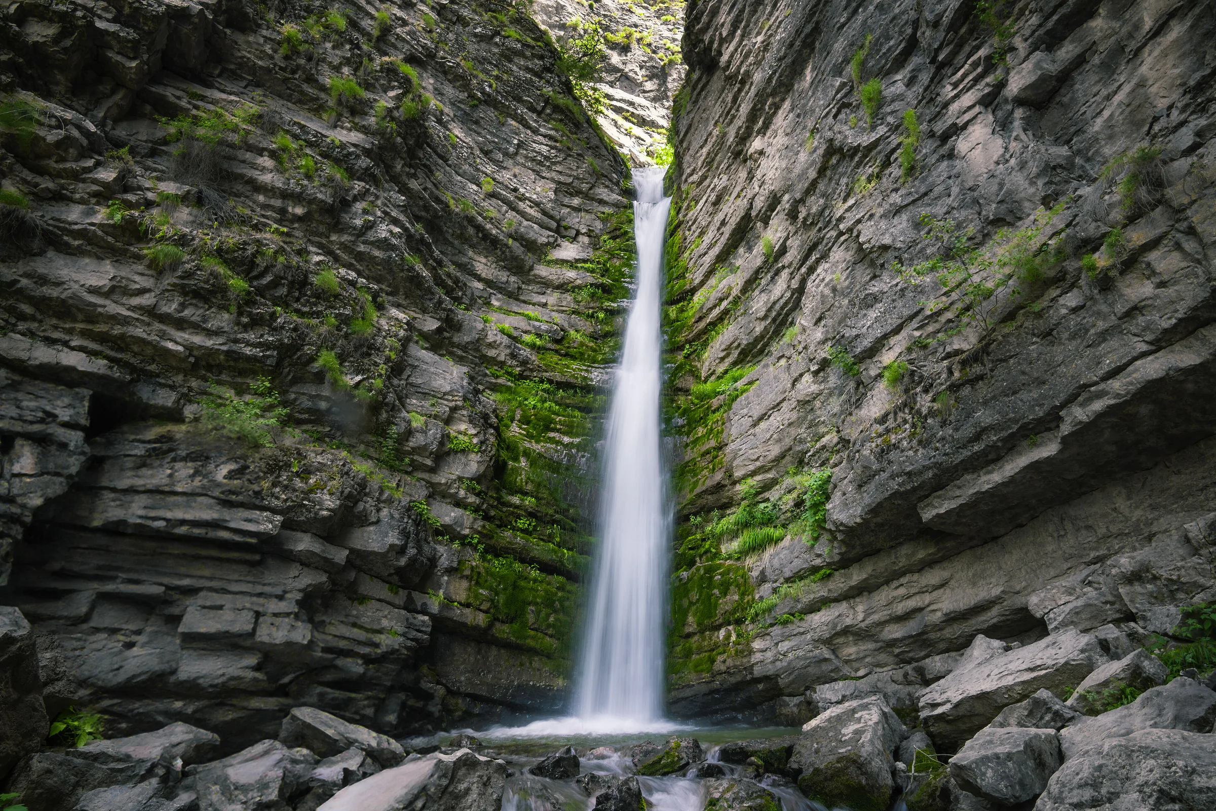
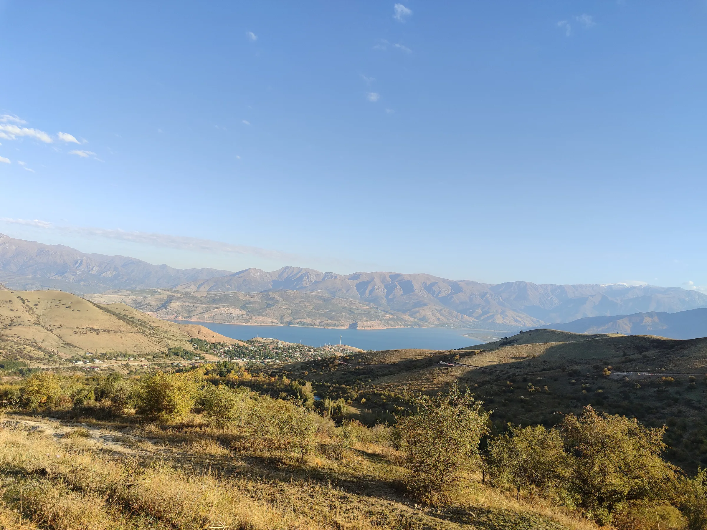
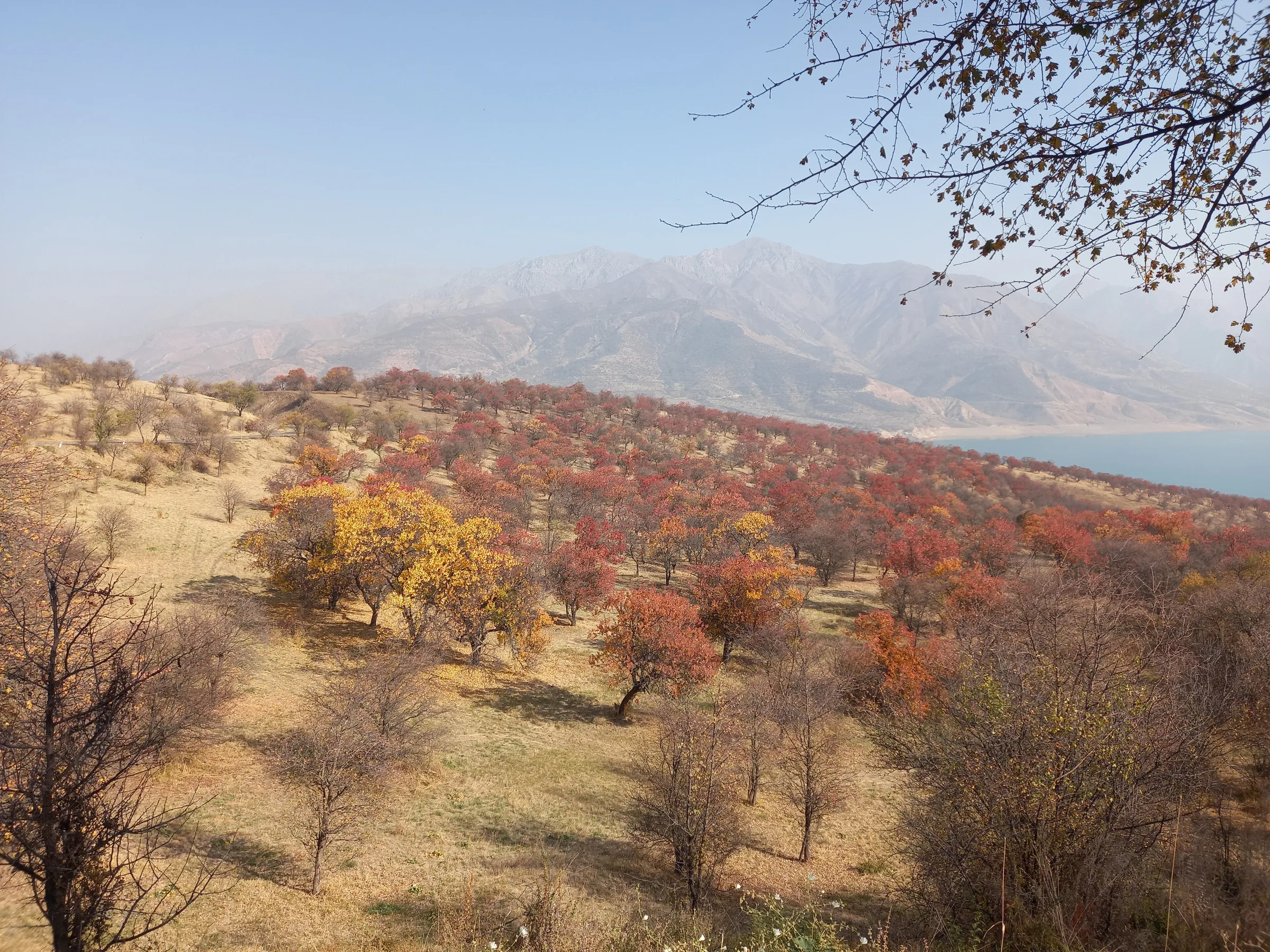
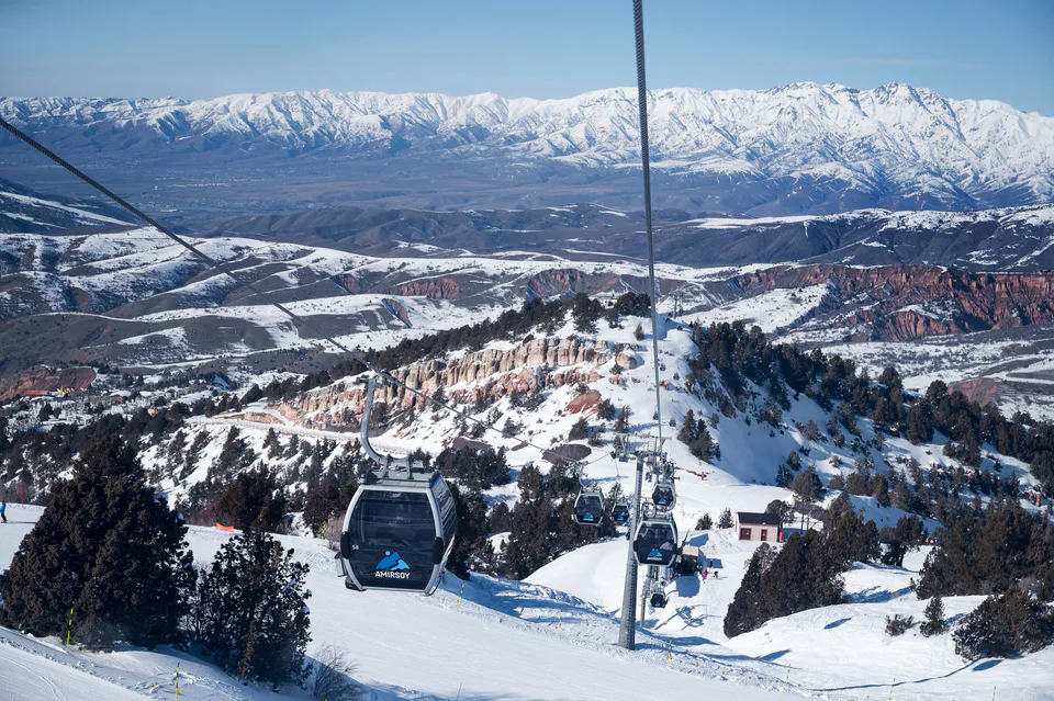
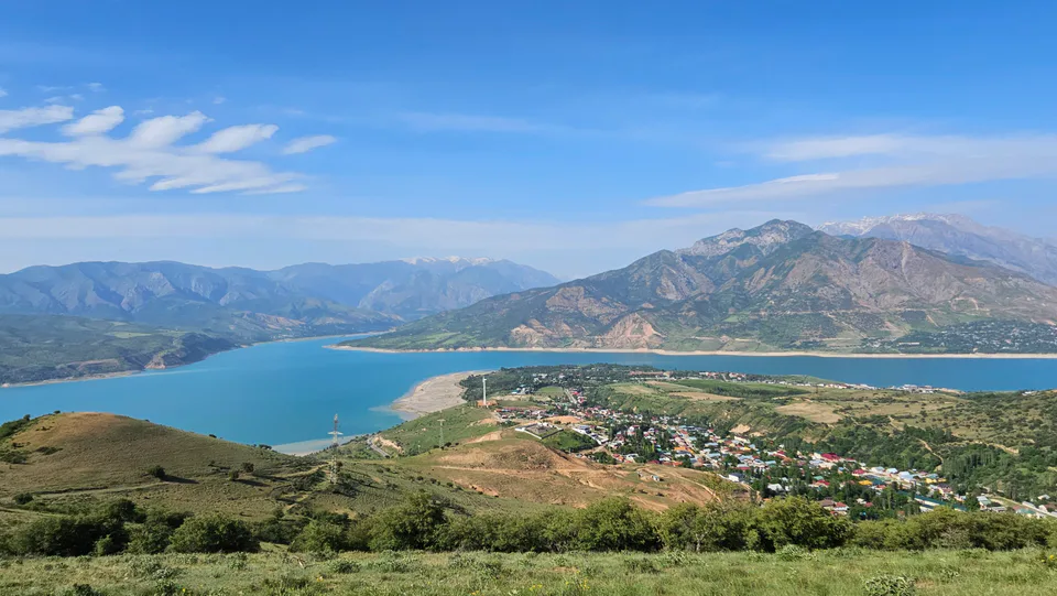
Bostanliq District is the region’s main playground: Chimgan and Greater Chimgan (3,309 m), the Beldersay and Amirsoy ski areas, the Gulkam canyon, turquoise Lake Charvak with its lakeside villages of Yusufkhona, Burchmulla and Sijjak, the Pskem valley and Lake Urungach. History lovers can add the Khojikent petroglyphs, the Obi-Rakhmat grotto and Sheikh Umar’s tomb at Bogiston.
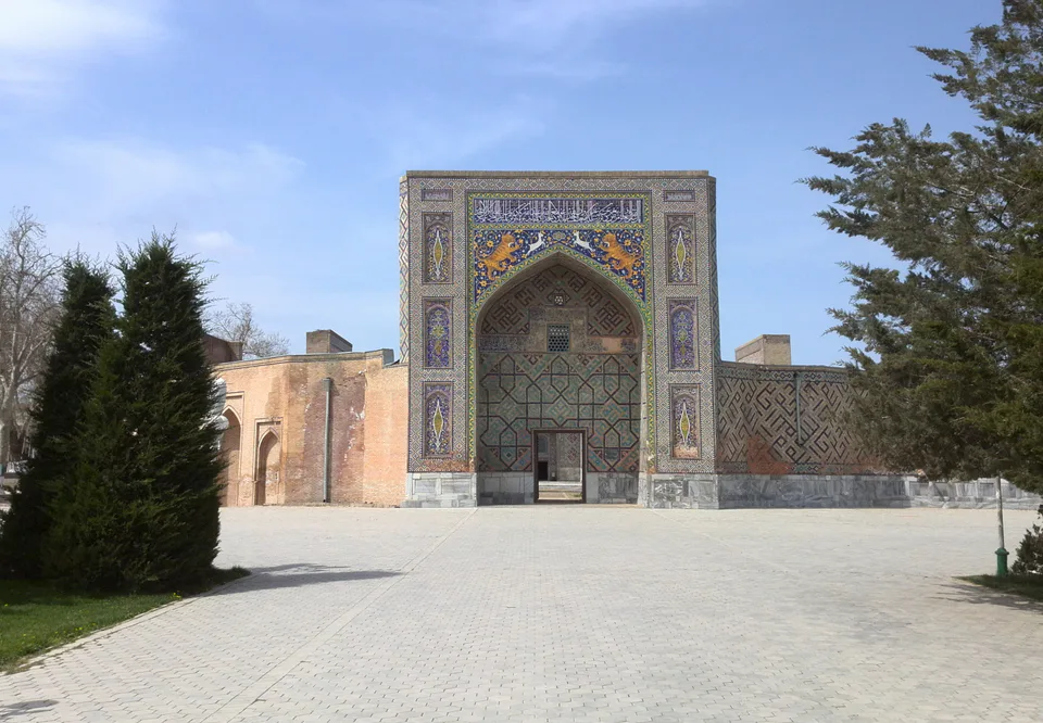
The monument closest to Tashkent is the Timurid Zangiata Complex. The Big Solar Furnace at Parkent joined the UNESCO World Heritage List in 2026 as part of Tashkent Modernism. In the south-west, by the Syr Darya, lie the ruins of Kanka and Shahrukhiya, with the Kyzyl Mazar mausoleum near Bekobod and the Qaynar cistern in Ohangaron District.
Most inhabitants are Uzbeks, alongside Kazakhs, Tajiks, Russians, Koreans, Tatars and others; Koreans resettled here in the 20th century founded well-known collective farms in Ortachirchiq and other districts, the most famous being the Polar Star, run for over 34 years by the twice-decorated Hero of Socialist Labour Kim Pen Hwa. This is one of the most industrial parts of the country, with non-ferrous metallurgy at Olmaliq, steel and cement at Bekabad, coal at Angren, and chemicals and engineering at Chirchiq, while the valleys grow cotton, grain, vegetables, fruit and grapes.
Every town in the region is within one or two hours’ drive of Tashkent. There are more than 360 km of railway and over 3,700 km of roads. Trains run from Tashkent towards Khojikent (for Charvak), Angren and Bekabad, and the Angren–Pap railway and Tashkent–Kokand highway link the region with the Fergana Valley. Most visitors reach the mountain resorts by taxi or rental car.
Modern · Parkent District
A mirror that turns sunlight into 3,000 degrees
Resort · Bostanliq District
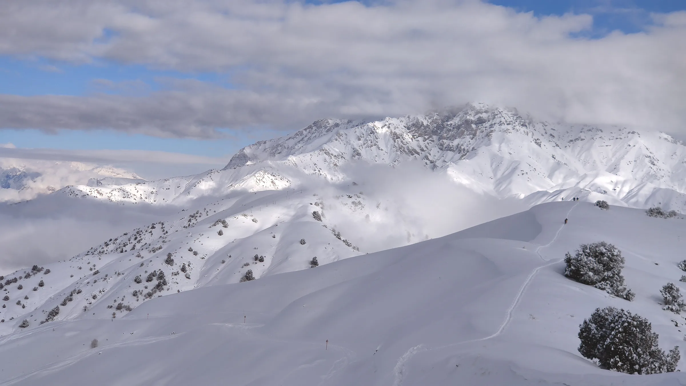
Uzbekistan’s newest ski resort
Resort · Bostanliq District
Tashkent’s oldest mountain resort
Nature · Bostanliq District
A turquoise “sea” among the mountains
Nature · Bostanliq District
The wild mountains of the Western Tian Shan
Ensemble · Zangiota District
A shrine built by Timur
Nature · Bostanliq District
Mountain forests protected since 1947
Resort · Bostanliq District
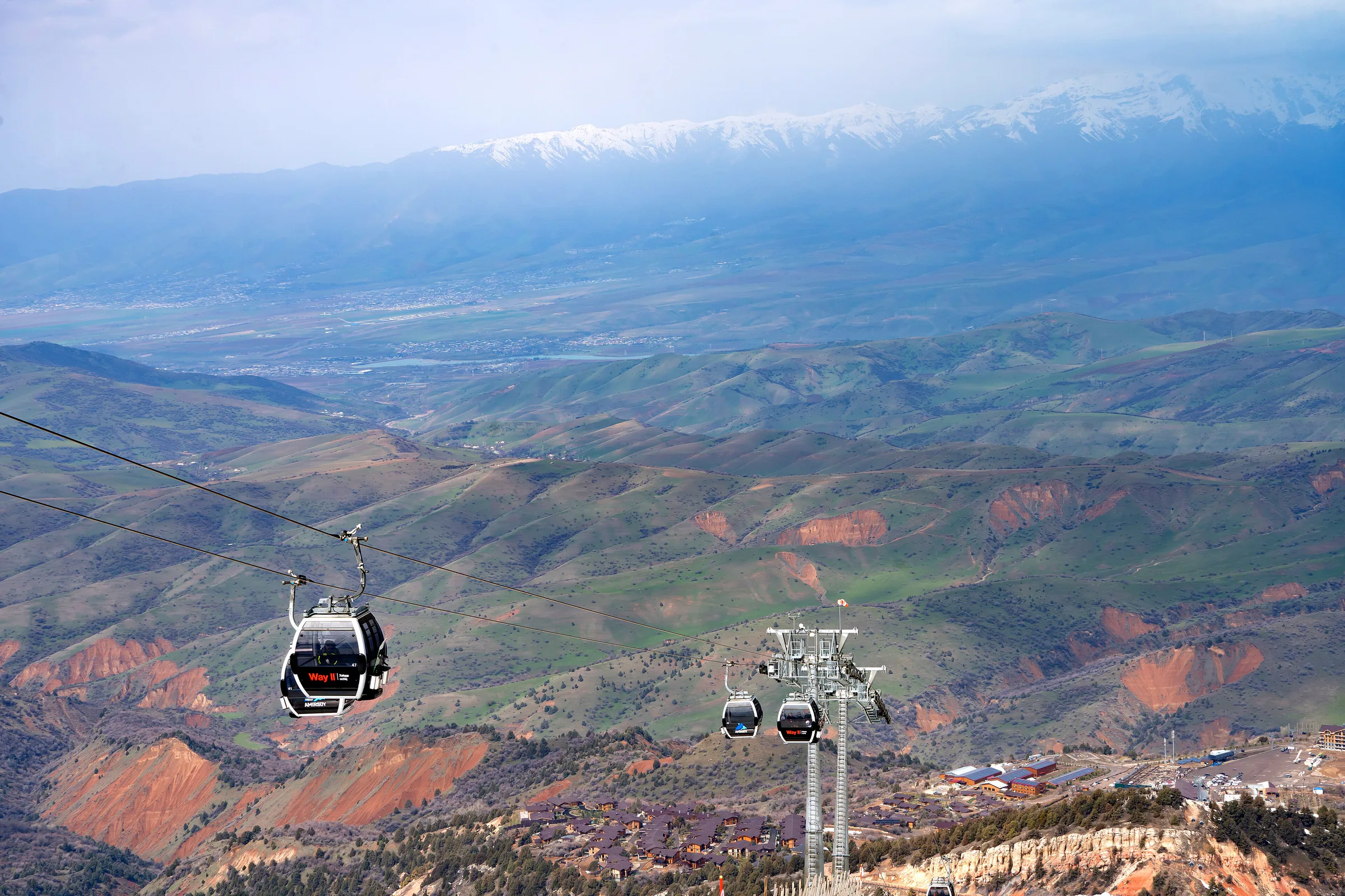
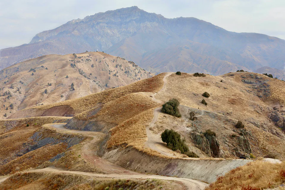
The chairlift to the top of Kumbel
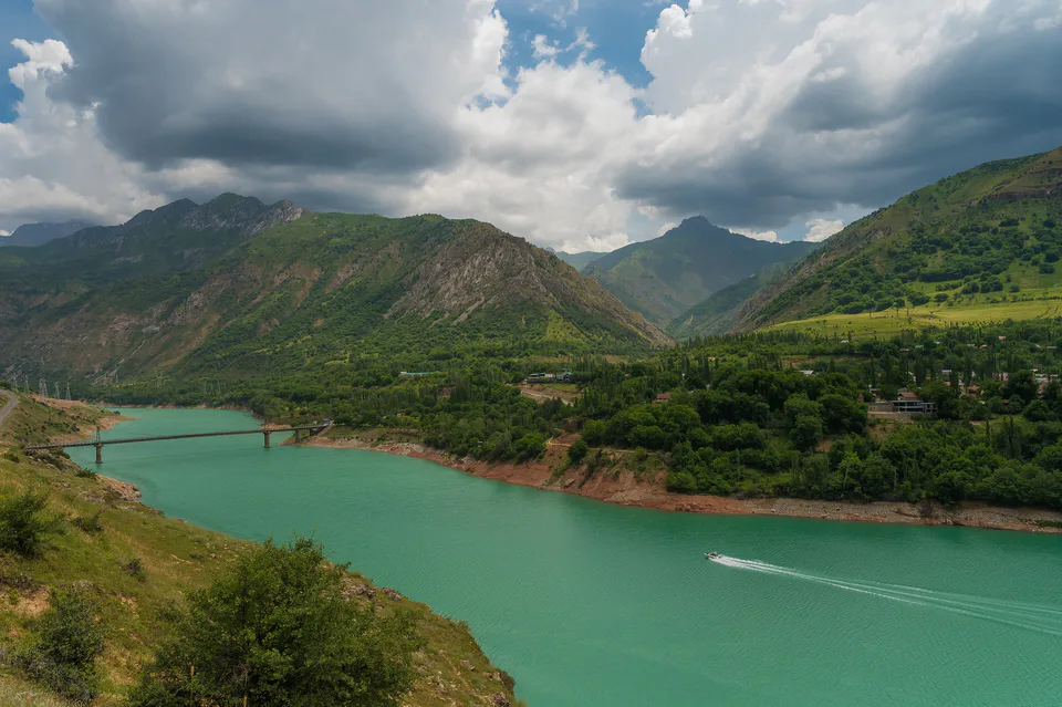
Resort · Bostanliq District
Mountain villages around Lake Charvak
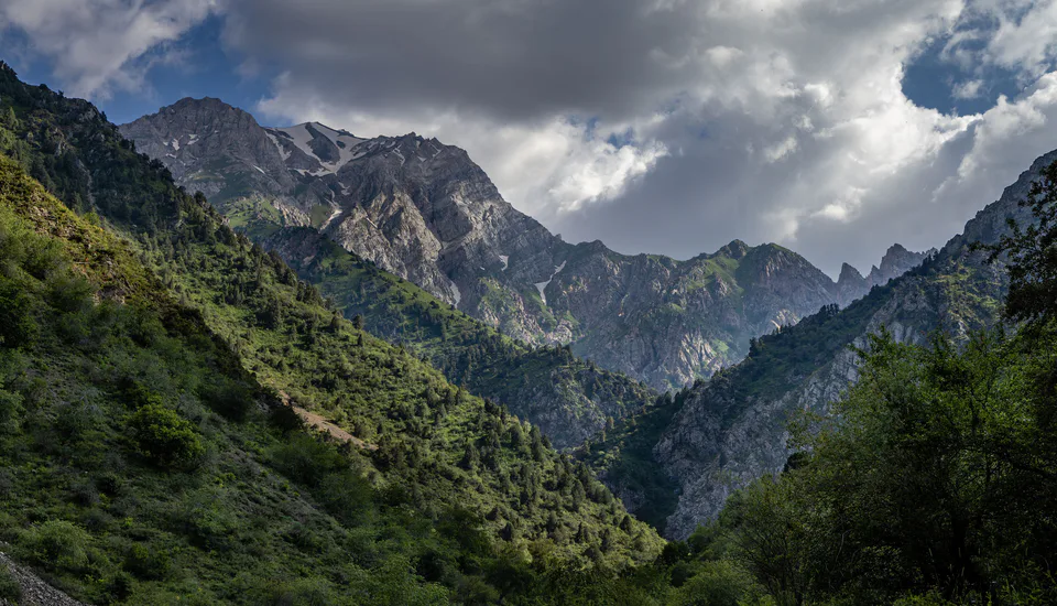
Nature · Bostanliq District
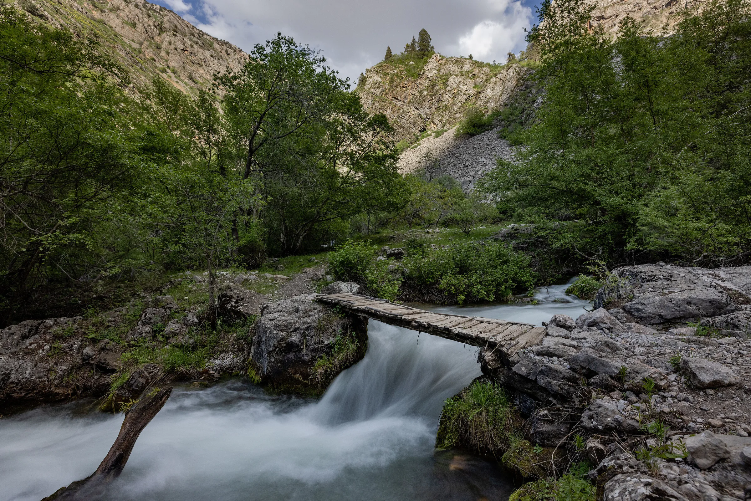
A narrow gorge and a staircase of waterfalls
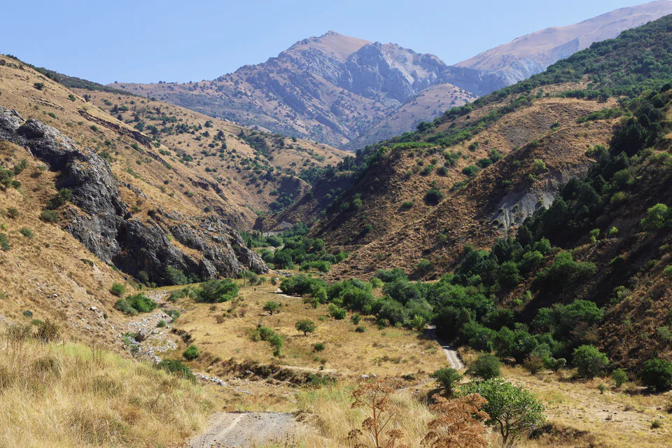
Archaeology · Bostanliq District
A Neanderthal hunting camp
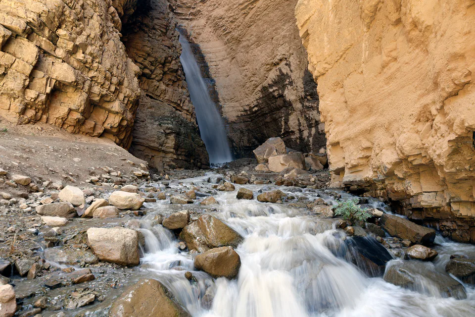
Nature · Bostanliq District
A waterfall among the rocks and birch groves
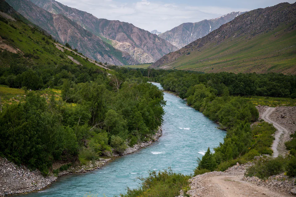
Nature · Bostanliq District
A valley of walnut groves and mountain villages
Archaeology · Oqqoʻrgʻon District
The first capital of the Tashkent oasis
Archaeology · Oqqoʻrgʻon District
A city razed by the Mongols and rebuilt by Timur
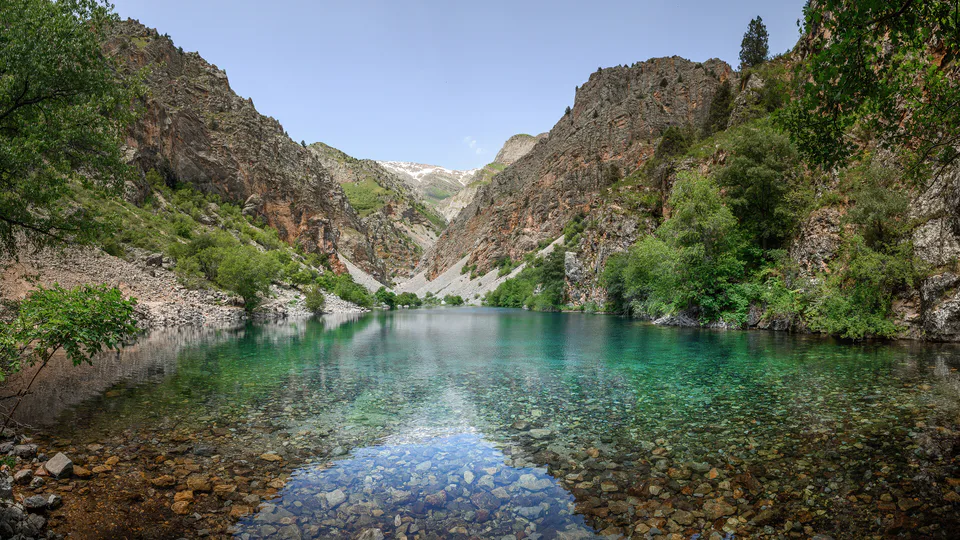
Nature · Bostanliq District
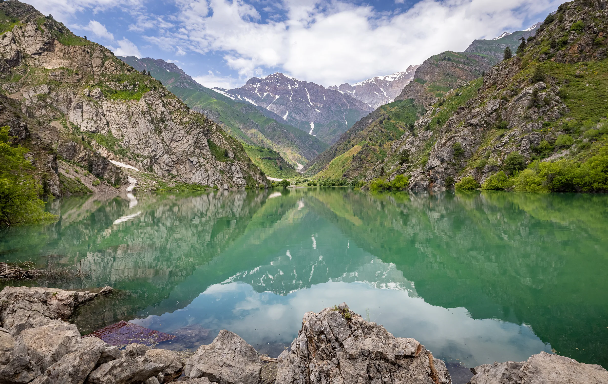
A turquoise lake behind a landslide dam
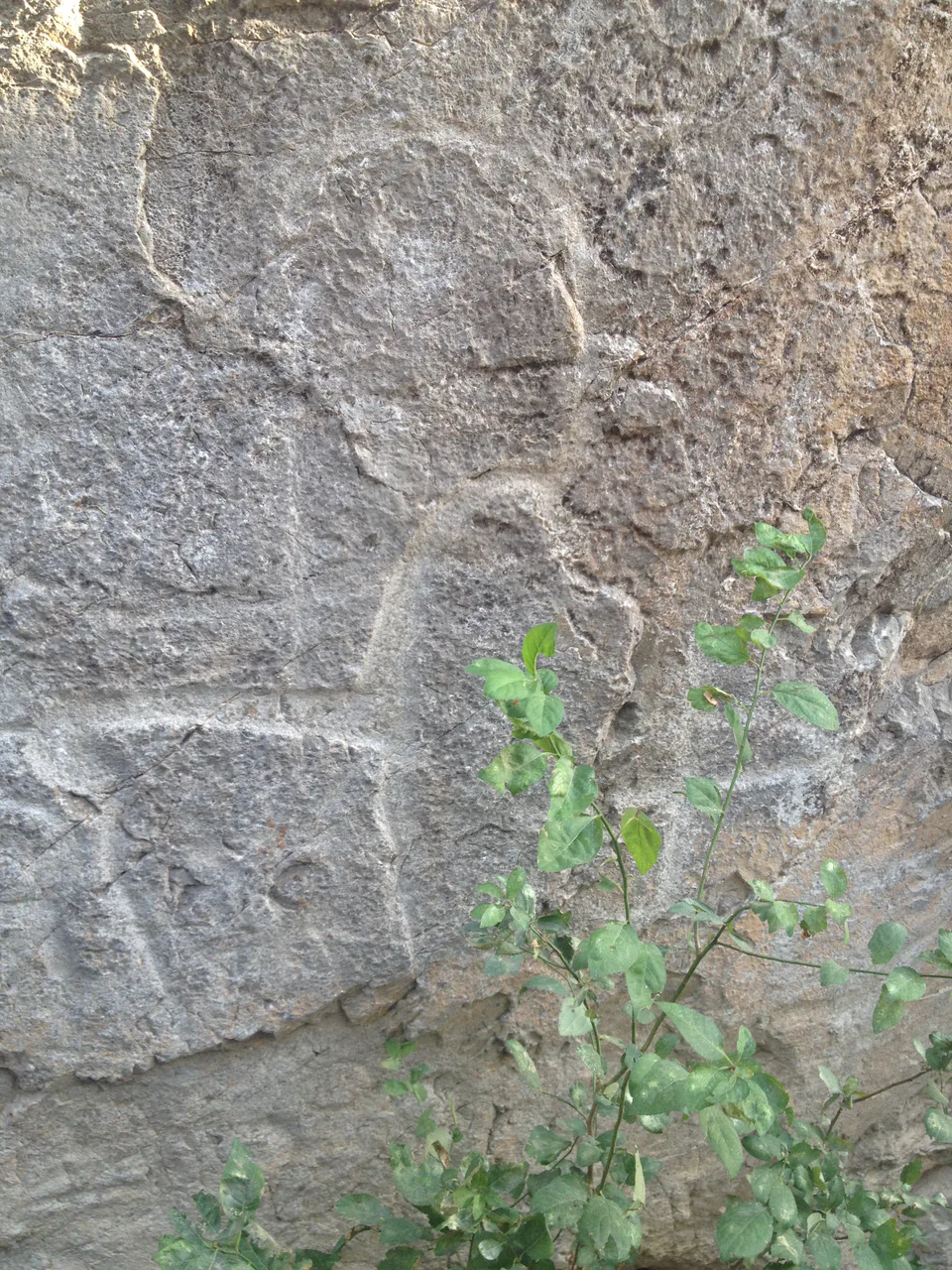
Archaeology · Bostanliq District
A five-thousand-year-old book in stone
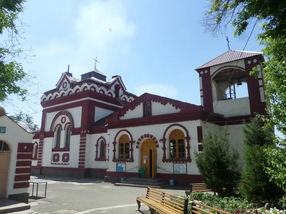
Temple & church · Chirchiq
A church that local Muslims helped to build
Tashkent Region
Airport, railway station and bus stations — addresses, timetables and the live board.
All transportTashkent Region
Road distance, the fastest train and whether there is a direct flight.
All distances| City | Road, km | By car | By train | Flight | Bus |
|---|---|---|---|---|---|
| Tashkent Tashkent (city) |
35 | 42 min | — | — | — |
Weather: MET Norway
Tashkent Region
Checked hotels and places to eat — with addresses, phone numbers, opening hours and price levels.
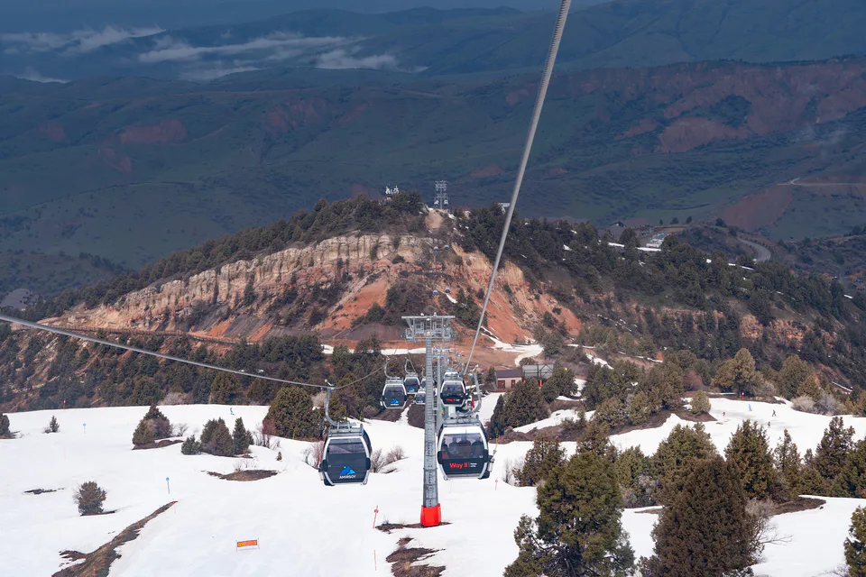
Uzbekistan’s largest ski resort
Chalets within Amirsoy Mountain Resort
100-room family resort complex in Chimgan
Spa hotel in a Chimgan pine forest
Family resort hotel in Bostanliq District
Resort hotel on the shore of Chorvoq Reservoir
Holiday grounds overlooking Chorvoq Reservoir
Hotel with a spa and sauna on the M39 highway
Spa hotel in the settlement of Chorvoq
Wyndham hotel near Chorvoq Reservoir
Houses and chalets with a pool in Chimgan
Boutique guesthouse in Chimgan with yurt rooms
Family restaurant in the settlement of Chorvoq
Café, sports bar and karaoke in Chirchiq
Restaurant in Chirchiq
Korean and European restaurant in Olmaliq
Uzbek restaurant in Bostanliq District
Asian restaurant in Chirchiq
Fish and kebab café-restaurant
Turkish restaurant by the Chinorkent cable car
Kebab restaurant in Qibray
National-cuisine restaurant in Angren
Restaurant at the top of Amirsoy resort
Shashlik house in the Navobod mahalla
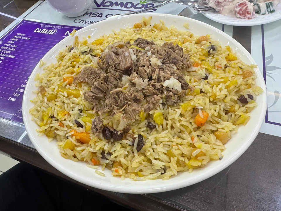
Dish · Tashkent (city), Tashkent Region
The capital’s style of plov: everything is fried first and the rice is mixed into the base; wedding plov adds kazy sausage, chickpeas, raisins and sometimes quail eggs.
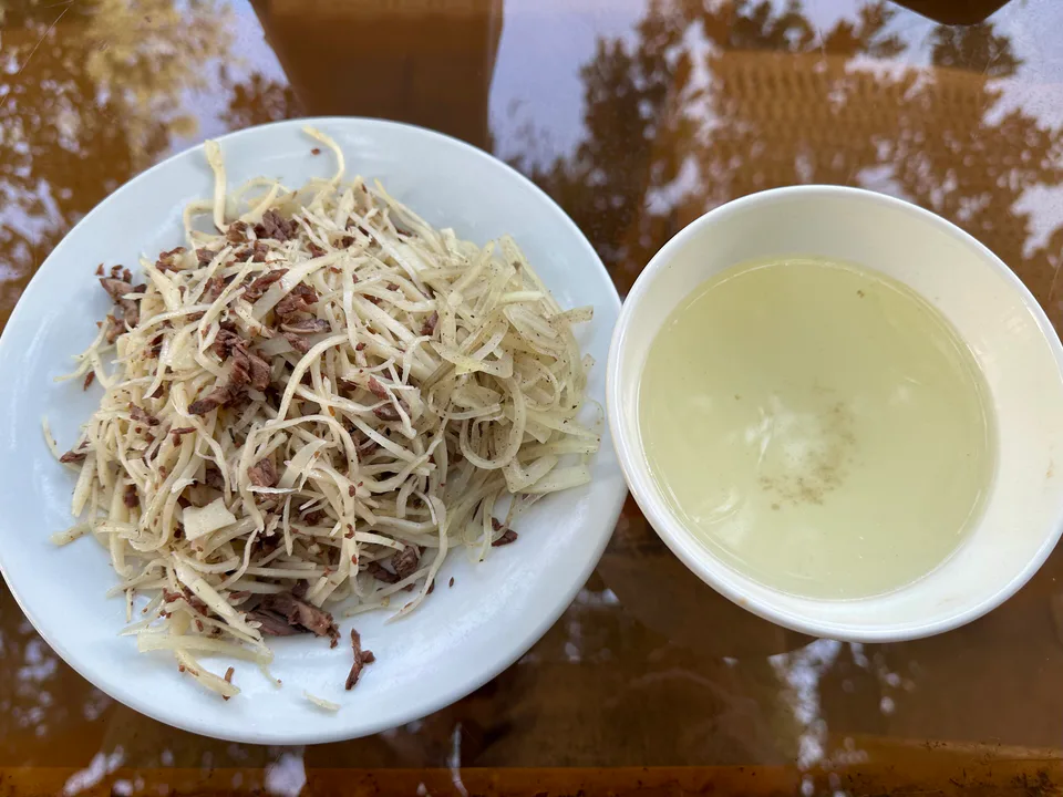
Dish · Tashkent (city), Tashkent Region
A Tashkent speciality of horse meat and thin noodles cut into fine shreds, served cold with kazy or in hot broth.
Tradition · Fergana, Andijan +3
A battle of wits born in the Fergana Valley and Tashkent: two or more askiyachi duel in wordplay on a set theme.
Tashkent Region
Khokimiyat, public service centre and other offices: addresses, phones, hours.
All offices (111)Khokimiyat
90 Toshkent Yoli St, Nurafshon, Tashkent Region
Mon–Fri
Read morePublic Service Centre
58 Toshkent Yoli St, Nurafshon
Read moreTashkent Region regional branch · Nurafshon
161 Toshkent Yoli Street, Navruz mahalla, Nurafshon
+998 70 244 48 16Tashkent Region regional comprehensive service centre · Nurafshon
1 Bobur Street, Maʼrifat mahalla, Nurafshon, Tashkent Region
+998 55 900 07 01Nurafshon banking services centre · Nurafshon
50 Toshkent Yoʻli Street, Obod mahalla, Nurafshon, Tashkent Region
Nurafshon banking services office · Nurafshon
143/150 Toshkent Yoli Street, Muqimiy mahalla, Nurafshon
Nurafshon banking services office · Nurafshon
123 Toshkent Yoli Street, Kumarik mahalla, Nurafshon 111500
+998 55 503 68 68Angren banking services centre · Angren
3 Istiqlol Street, Block 5/1a, Nurchi mahalla, Angren, Tashkent Region
Qibray banking services centre · Qibray District
7 Zebiniso Street, Zebiniso mahalla, Qibray district, Tashkent Region
Zangiota banking services centre · Zangiota District
19 Mustaqillik Street, Eshonguzar, Zangiota district, Tashkent Region 111800
+998 71 150 20 26Tashkent Region
Codes 110100–112000. The main code of each city and district:
All postcodes (177)Tashkent Region
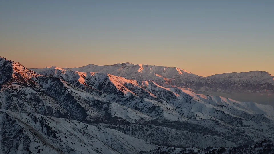
city · Uzbekistan’s coal capital
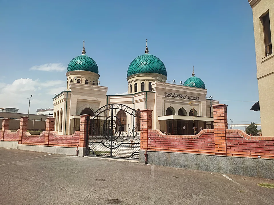
city · A steel town at the gateway of the Syr Darya
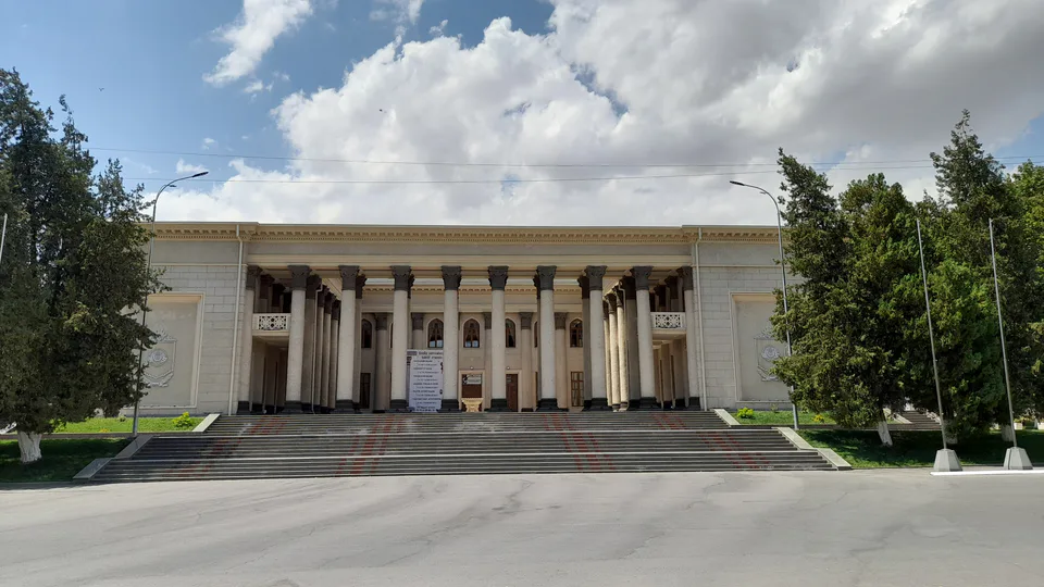
city · A chemical town at the foot of the mountains
city · The region’s new capital
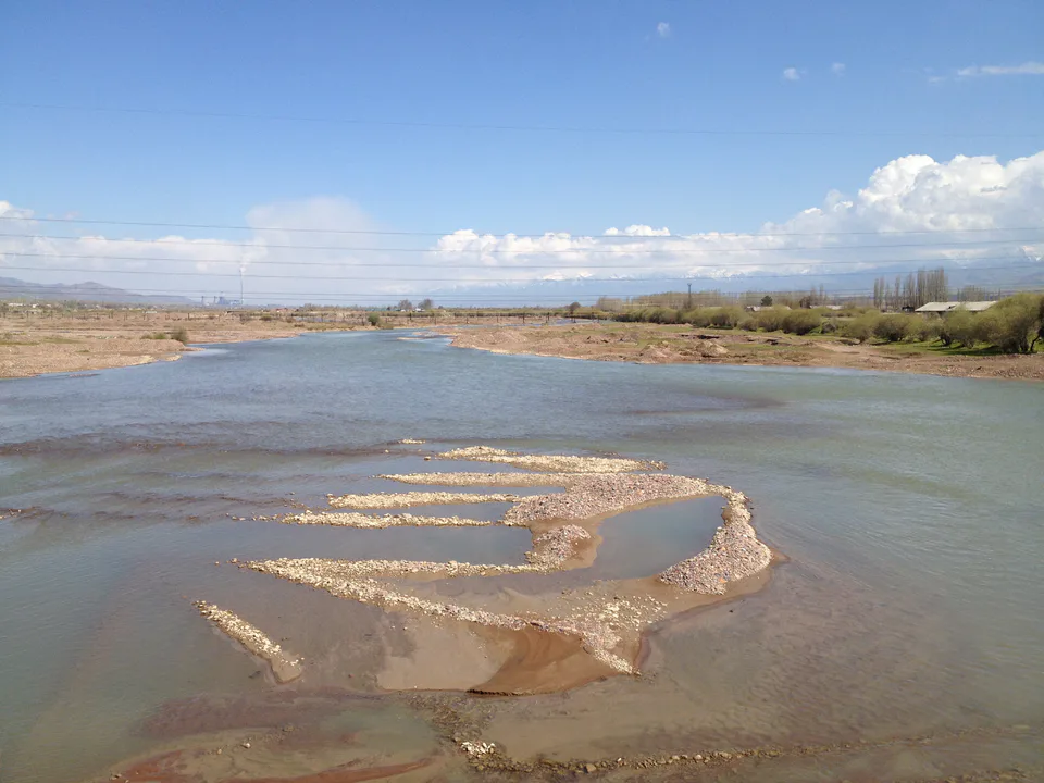
city · The town of the “blacksmiths”
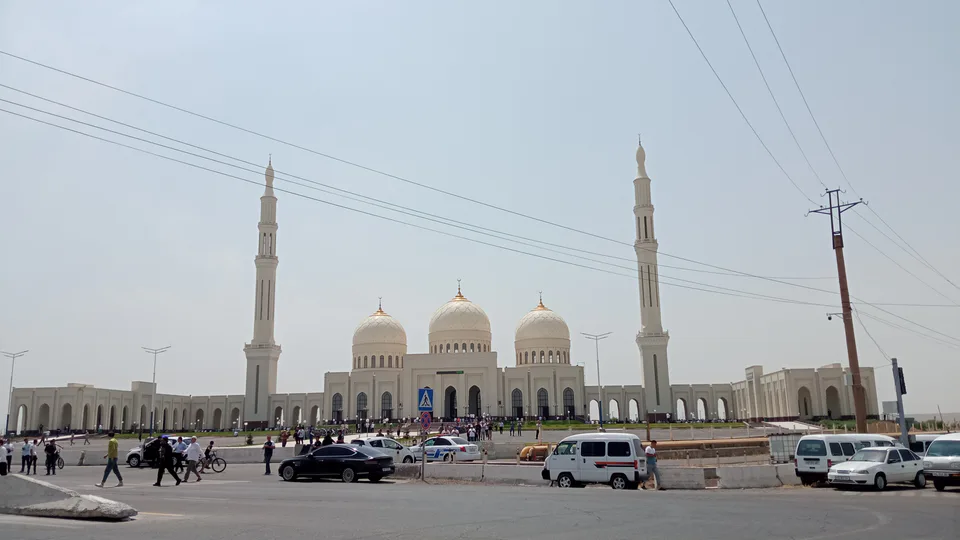
city · A town of copper and molybdenum
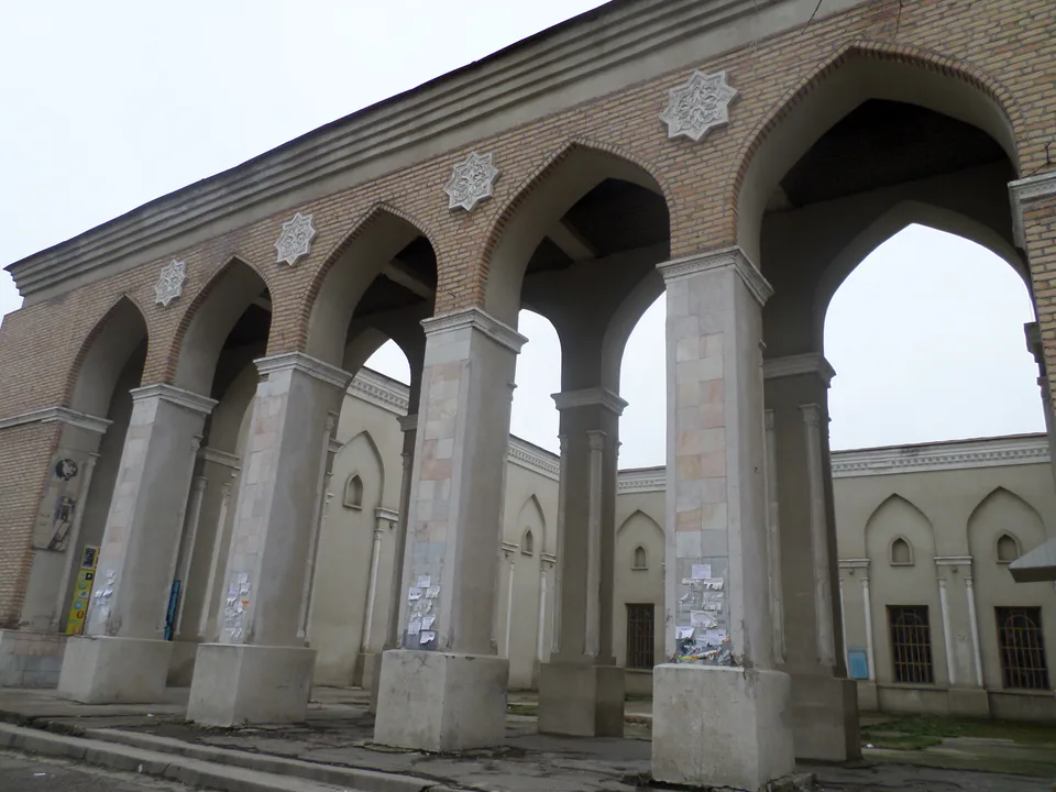
city · A “new road” on the highway
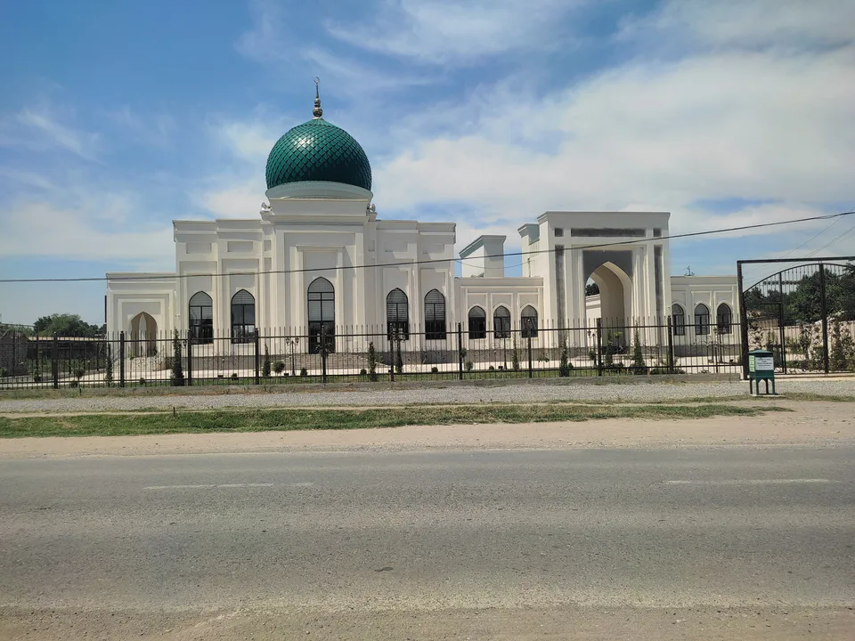
district · The Dalverzin steppe and the Syr Darya woodlands
district · Farm country below the Kurama Range
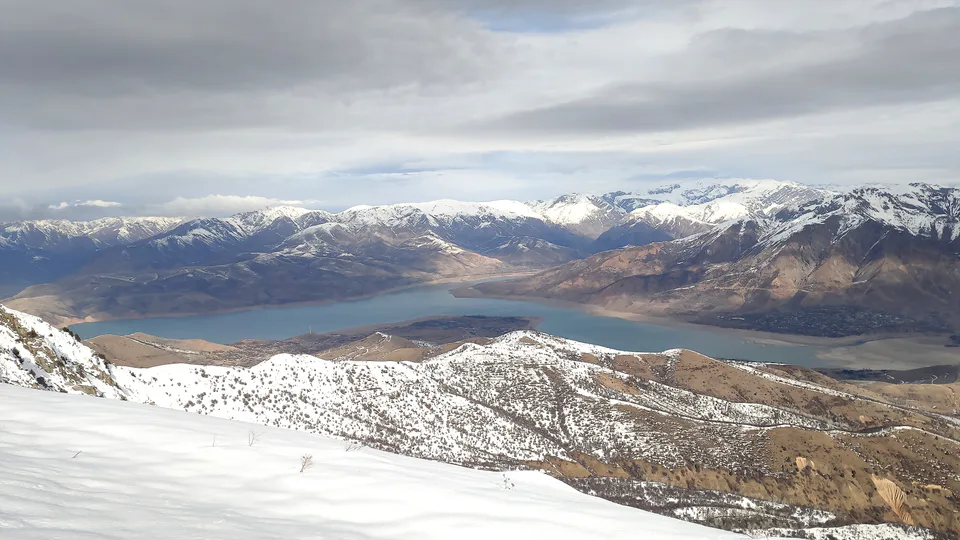
district · Uzbekistan’s mountain resort country
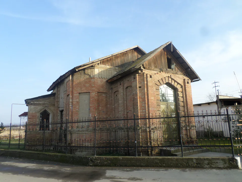
district · Where the Chirchiq meets the Syr Darya
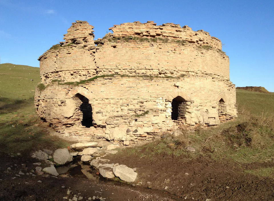
district · A valley of mines between the Chatkal and Kurama
district · The land of Chach’s first capital
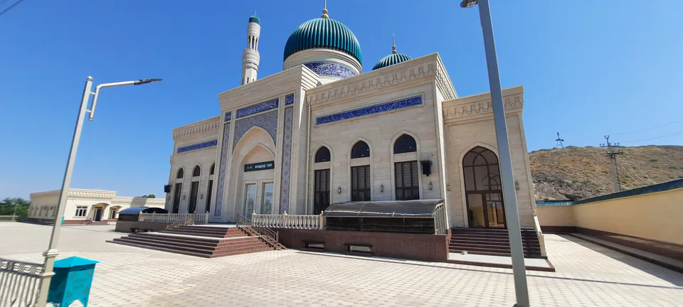
district · Home of the Korean Polar Star farm
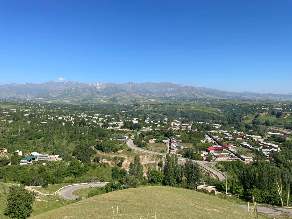
district · The solar furnace and the Chatkal foothills
district · A land of ancient canals below the Kurama
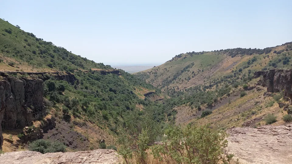
district · The capital’s north-eastern gateway
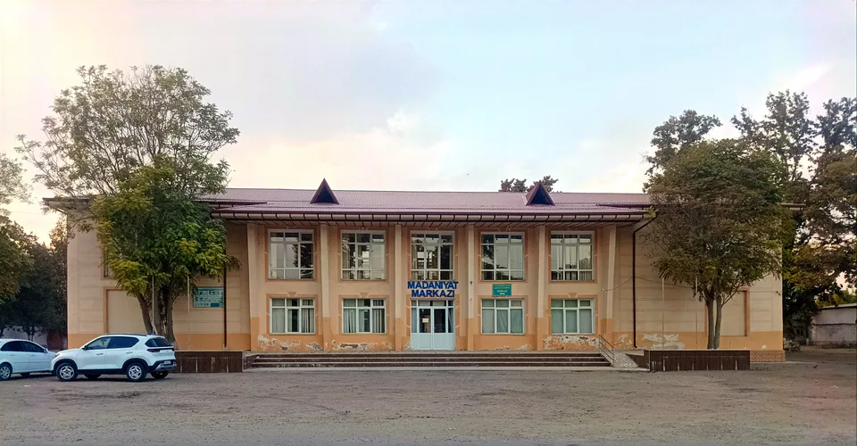
district · The lower Chirchiq and Akhangaran
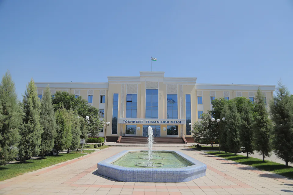
district · Between the capital and Kazakhstan
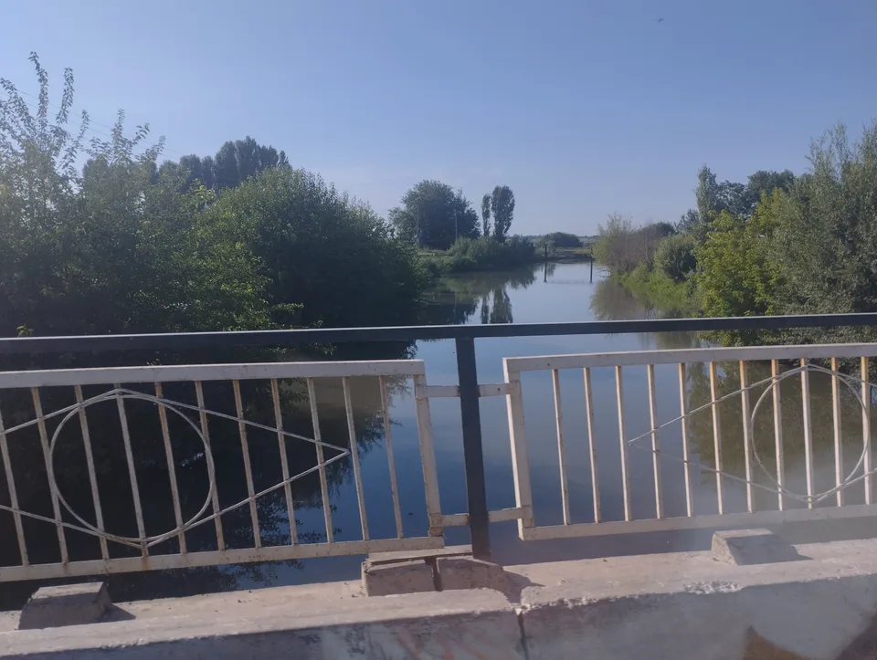
district · Orchards on the Chirchiq terraces
district · The Chirchiq bank below the Chatkal
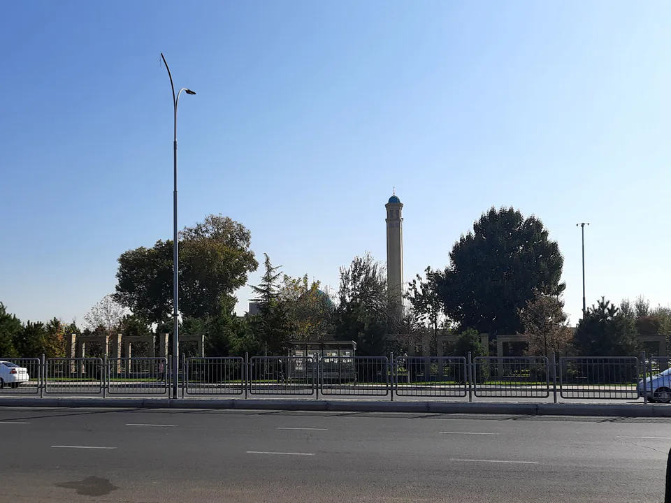
district · A district named after a sheikh