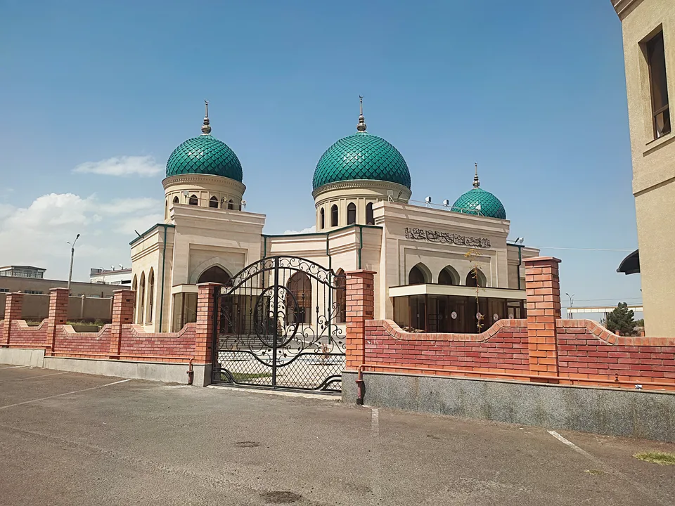
city · Tashkent Region
Bekobod
An industrial town where the Syr Darya leaves the Fergana Valley, born in 1899 around a railway station and home to the Uzbek Metallurgical Plant.
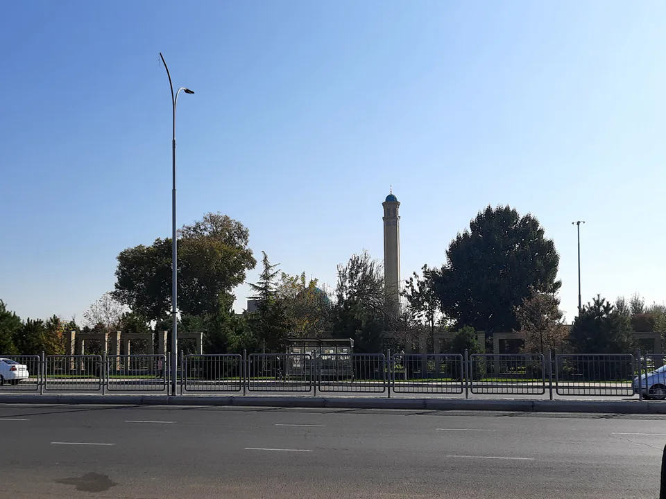
Photo: Axrorbek Sobirov · CC BY 4.0 · Wikimedia Commons
History
The town grew up in 1899 around Khilkov station, named after M. I. Khilkov, one of the railway’s builders. It later absorbed the neighbouring village of Begovat and bore that name until 1964. A steelworks was built here in 1942–1944, the settlement became a town in 1945, and the Farkhad dam and hydropower station were built nearby in 1943–1948.
Today
Bekobod lies 140 km south of Tashkent by road, at the south-eastern edge of the Dalverzin steppe on the border with Tajikistan, 33 km from Khujand. It spreads across both banks of the Syr Darya, ringed by hills, and the Dalverzin and Dustlik canals begin here. The Uzbek Metallurgical Plant and a cement works are its main employers, and the fierce “Bekobod wind” that blows from autumn to spring is famous across the region. The Kyzyl Mazar mausoleum stands 3 km north-west of town.
Bekobod
Getting there
Airport, railway station and bus stations — addresses, timetables and the live board.
All transportGuliston Nearest point: Guliston, 50 km
9°clear sky
- 9° / 8°
- 1.9 m/s
- 69%
- Today9°8°
- Mon18°5°
- Tue21°6°
- Wed18°10°
- Thu18°9°
Weather: MET Norway
Bekobod
Government offices
Khokimiyat, public service centre and other offices: addresses, phones, hours.
All offices (5)Khokimiyat
Bekabad City Khokimiyat
1 Gafur Gulom St, Bekabad 110514
Mon–Fri 9:00–18:00, lunch 13:00–14:00
Read morePublic Service Centre
Bekabad City Public Services Center
Gafur Gulom St, Bekabad
Read more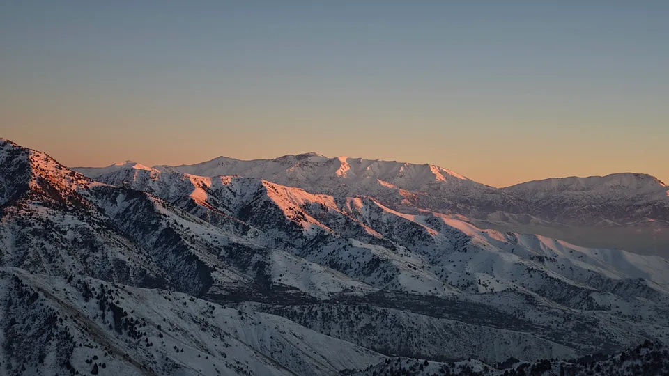
Angren
city · Uzbekistan’s coal capital
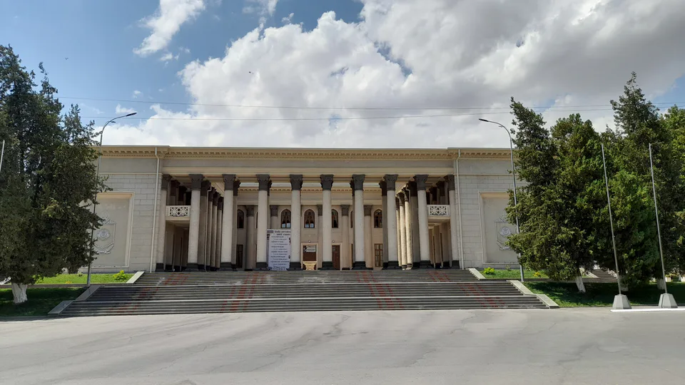
Chirchiq
city · A chemical town at the foot of the mountains
Nurafshon
city · The region’s new capital
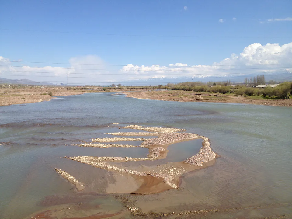
Ohangaron
city · The town of the “blacksmiths”
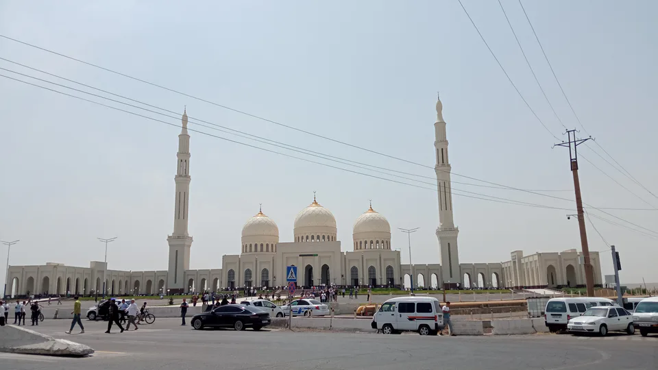
Olmaliq
city · A town of copper and molybdenum
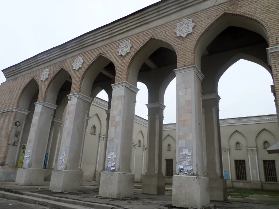
Yangiyoʻl
city · A “new road” on the highway
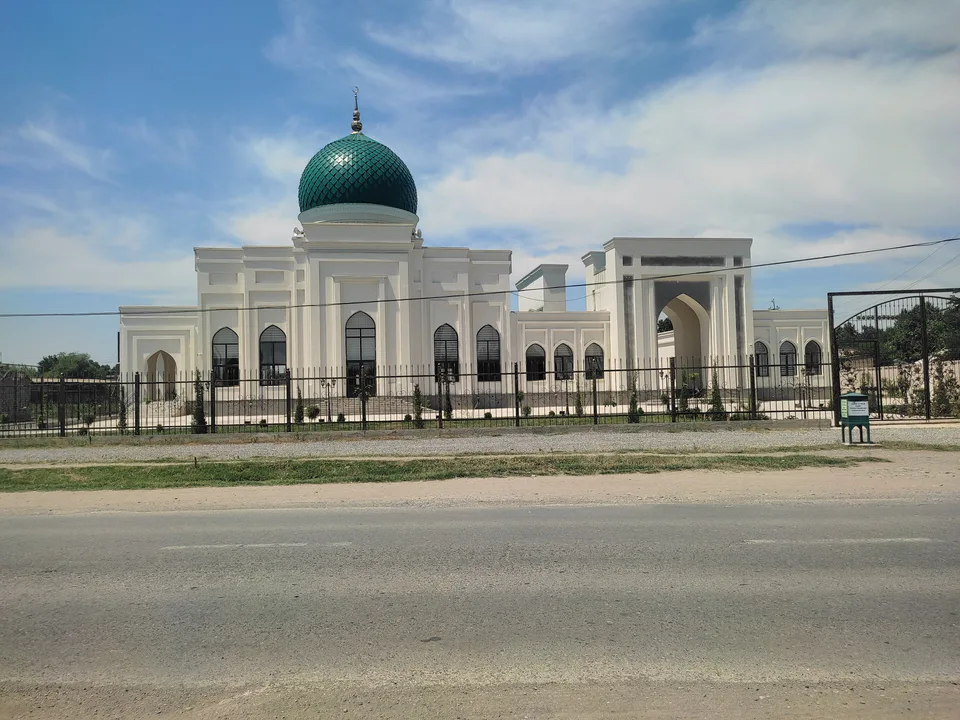
Bekobod District
district · The Dalverzin steppe and the Syr Darya woodlands
Boʻka District
district · Farm country below the Kurama Range
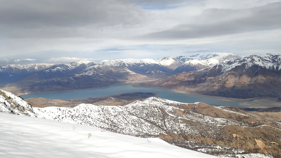
Bostanliq District
district · Uzbekistan’s mountain resort country
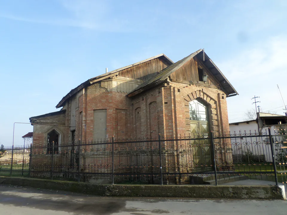
Chinoz District
district · Where the Chirchiq meets the Syr Darya
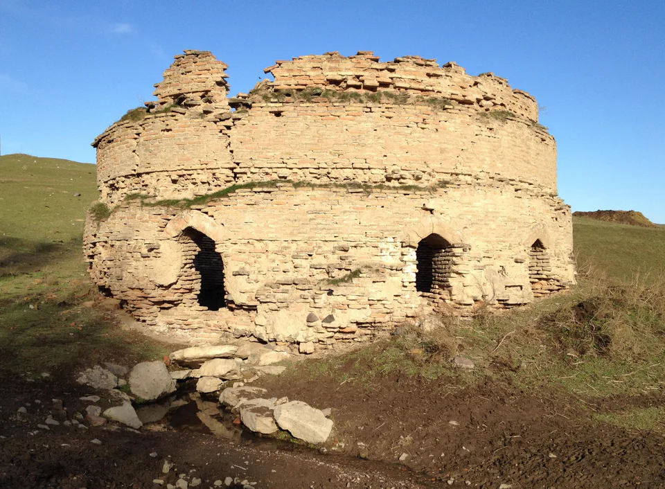
Ohangaron District
district · A valley of mines between the Chatkal and Kurama
Oqqoʻrgʻon District
district · The land of Chach’s first capital
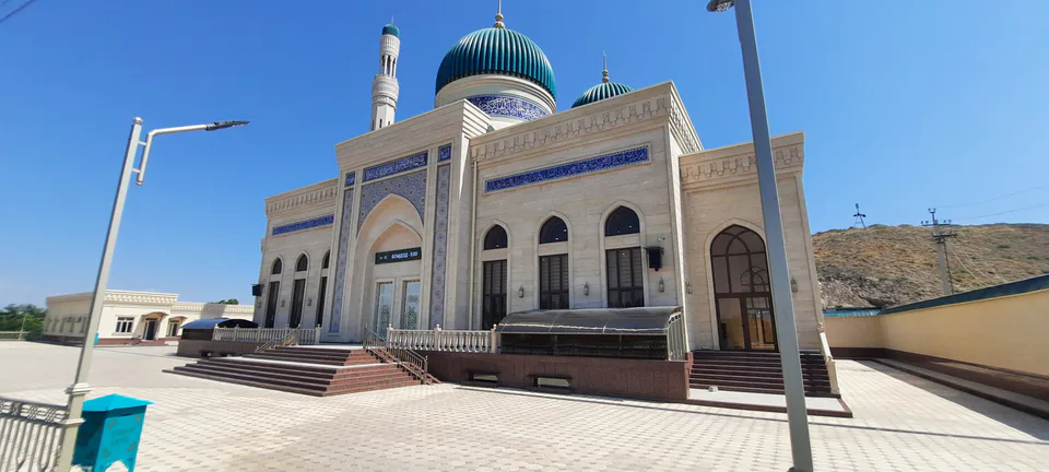
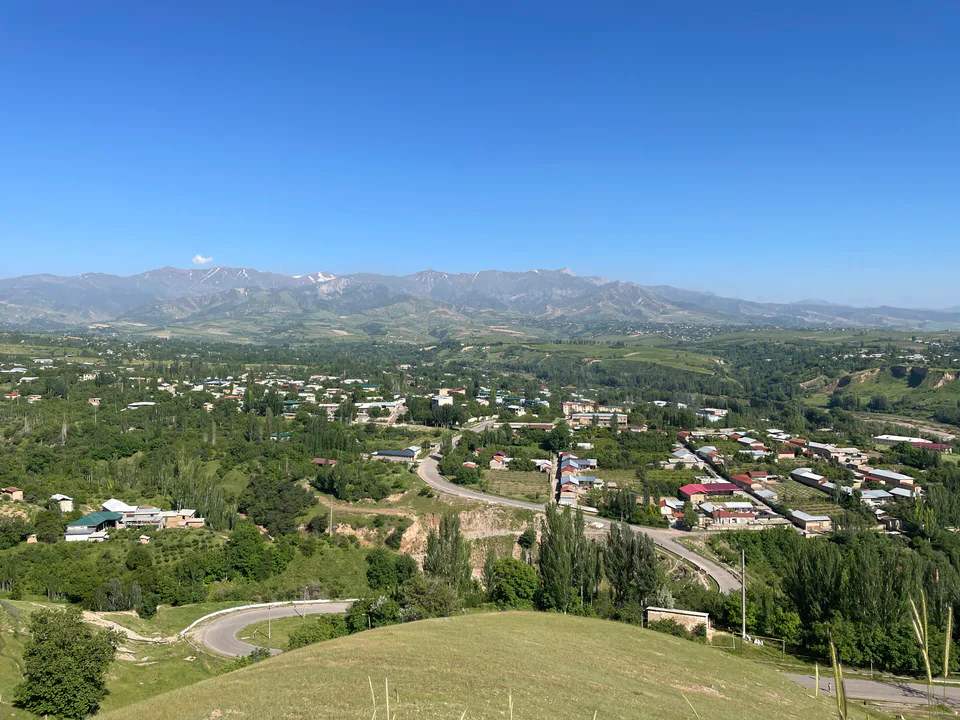
Ortachirchiq District
district · Home of the Korean Polar Star farm
Parkent District
district · The solar furnace and the Chatkal foothills
Piskent District
district · A land of ancient canals below the Kurama
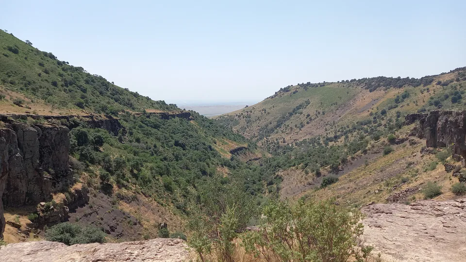
Qibray District
district · The capital’s north-eastern gateway
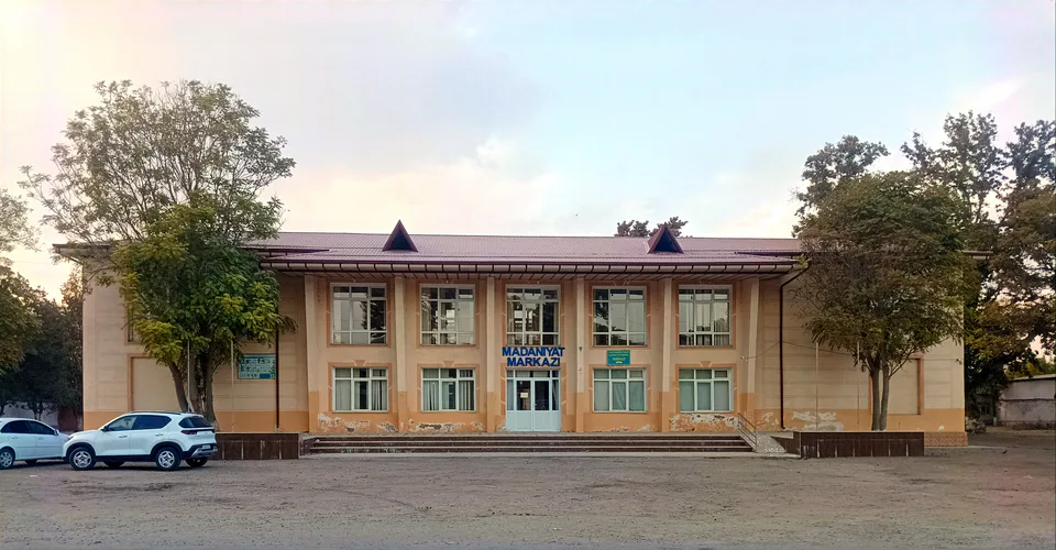
Quyichirchiq District
district · The lower Chirchiq and Akhangaran
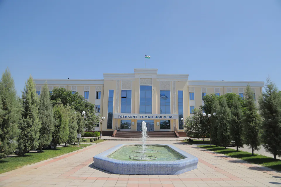
Toshkent District
district · Between the capital and Kazakhstan
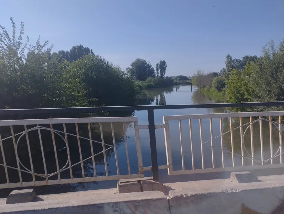
Yangiyoʻl District
district · Orchards on the Chirchiq terraces
Yuqorichirchiq District
district · The Chirchiq bank below the Chatkal
Zangiota District
district · A district named after a sheikh