Archaeology · Ohangaron District
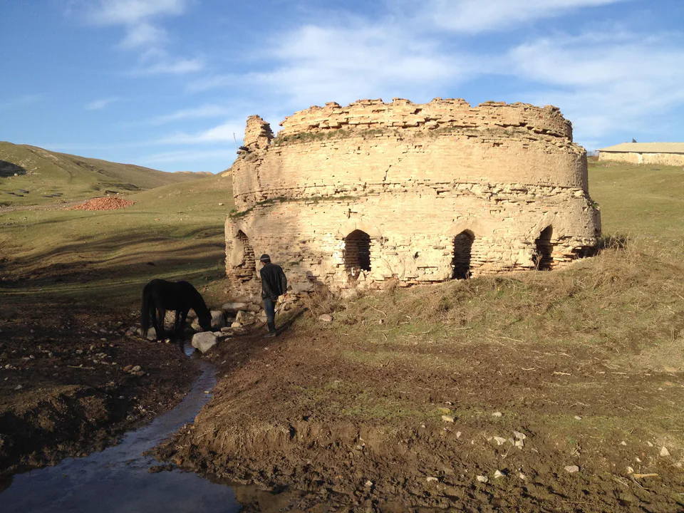
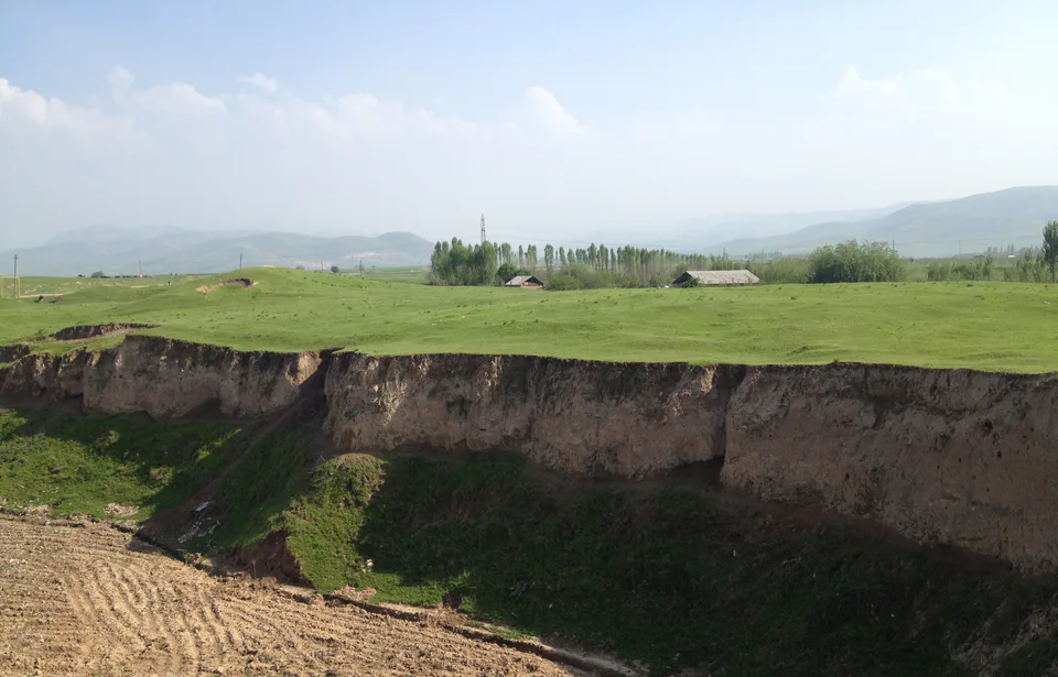
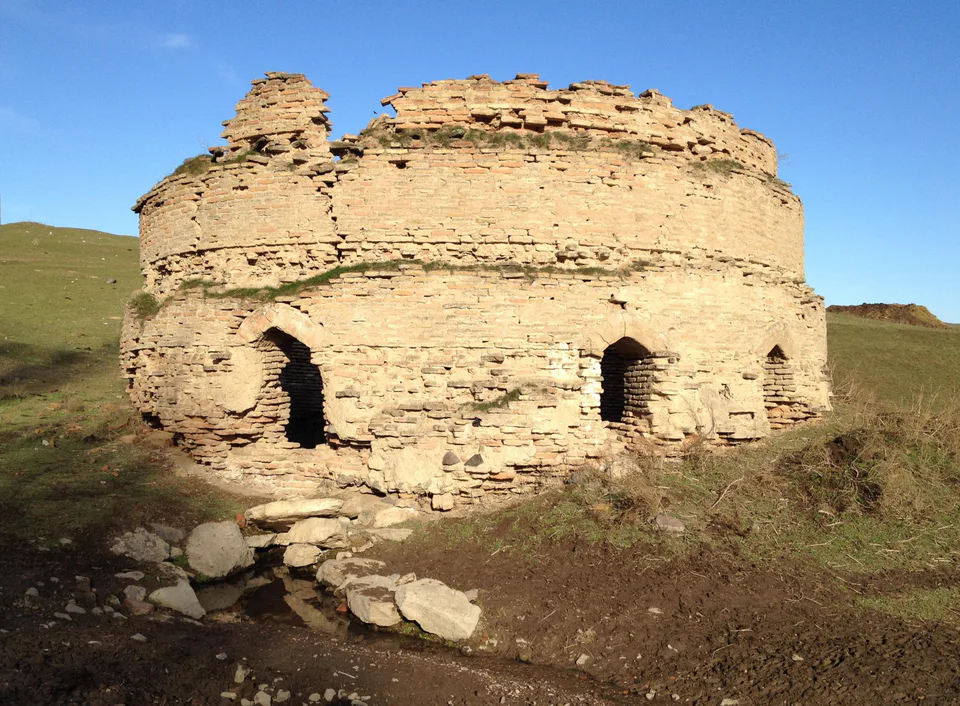
Kul-Ata Shrine and Ancient Town
A miners’ town and a shrine of springs
district · Tashkent Region
The mountain district of the Akhangaran valley: coal, copper, gold and turquoise deposits, the Qaynar cistern, the Kul-Ata shrine and the Kulbulak Palaeolithic site.
Ohangaron District was created on 29 September 1929 (as Kurama District until 1939), abolished in 1957 and restored in 1971. It occupies the valley between the Kurama Range to the south-east and the Chatkal Range to the north and north-west, which meet at the Kamchik Pass, and borders Namangan Region to the east and Tajikistan to the south. The Akhangaran and its many tributaries drain it, and the ground is rich in brown coal, copper, zinc, molybdenum, gold, fluorite, alunite and turquoise.
Sights include the ruined cistern and caravanserai at Qaynar, the Kul-Ata shrine and early medieval castle near Olmaliq, and the Kulbulak Palaeolithic site near Angren. The mountain slopes are pleasant for walks in spring and autumn. The district centre is Nurobod.
Ohangaron District
Ohangaron District
Airport, railway station and bus stations — addresses, timetables and the live board.
All transportNurafshon Nearest point: Nurafshon, 32 km
10°clear sky
Weather: MET Norway
Ohangaron District
Khokimiyat, public service centre and other offices: addresses, phones, hours.
All offices (4)Khokimiyat
89 Kholmukhamedov St, Nurobod mahalla, Akhangaran District 110300
Mon–Fri 9:00–18:00
Read morePublic Service Centre
7A Fayz St, Akhangaran District
Read moreOhangaron District
Codes of the post offices in this city or district.
All postcodes (7)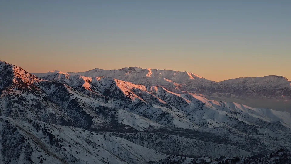
city · Uzbekistan’s coal capital
city · A steel town at the gateway of the Syr Darya
city · A chemical town at the foot of the mountains
city · The region’s new capital
city · The town of the “blacksmiths”
city · A town of copper and molybdenum
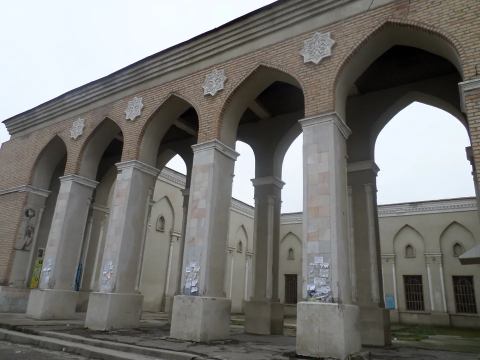
city · A “new road” on the highway
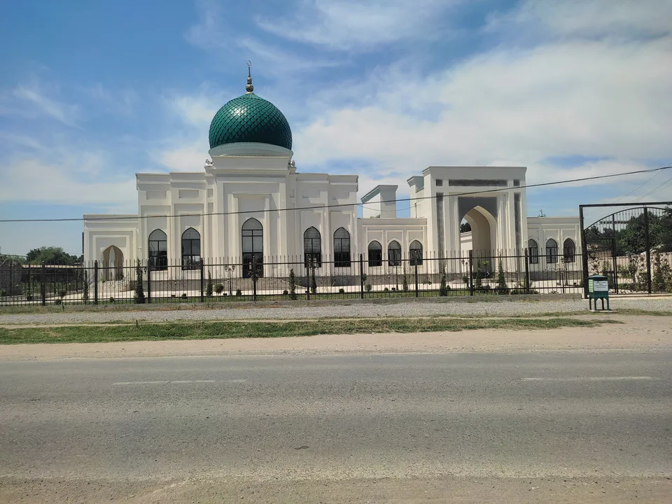
district · The Dalverzin steppe and the Syr Darya woodlands
district · Farm country below the Kurama Range
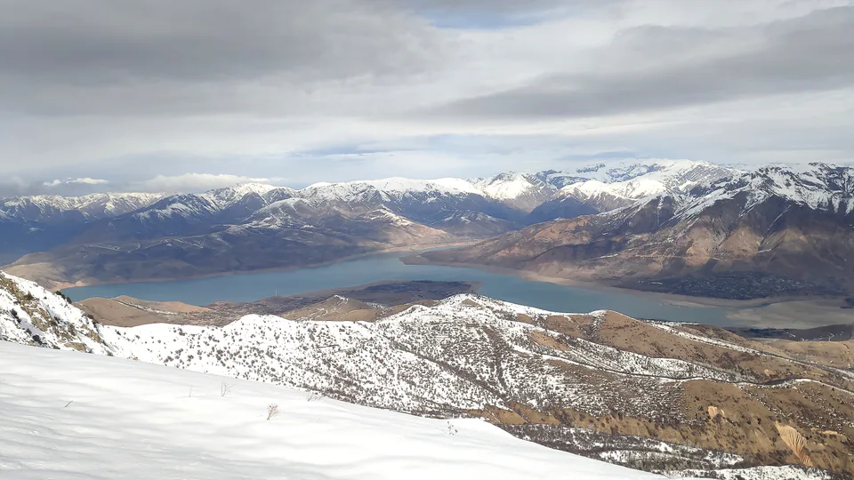
district · Uzbekistan’s mountain resort country
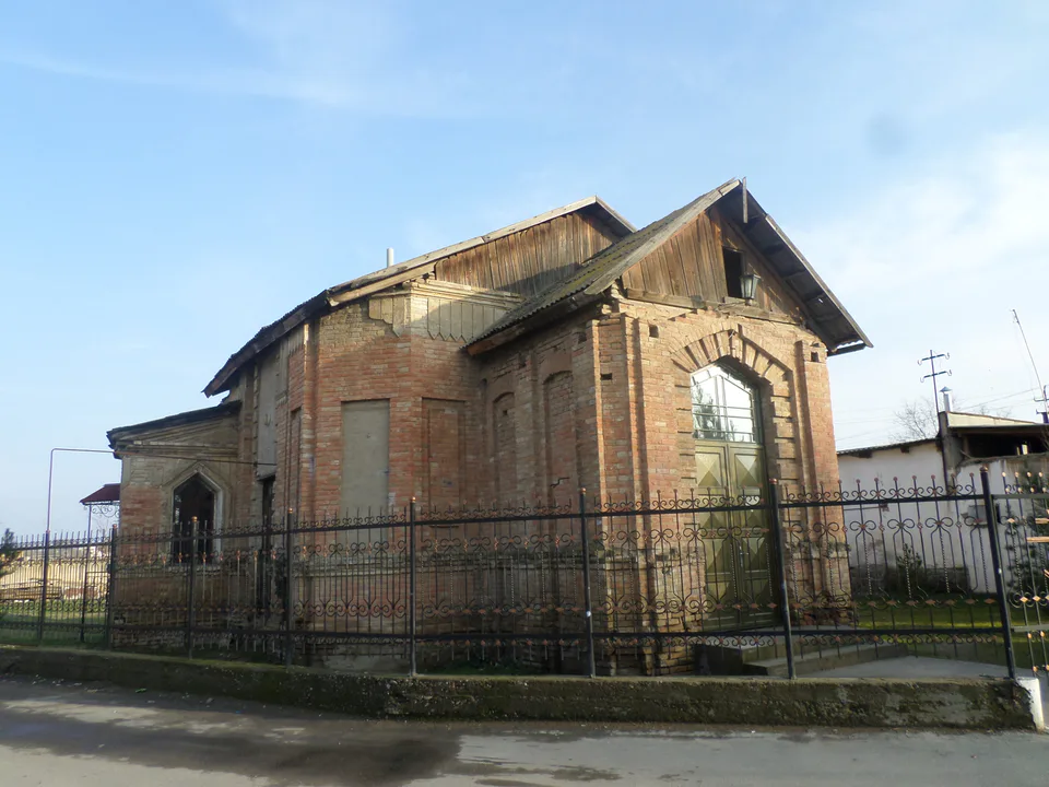
district · Where the Chirchiq meets the Syr Darya
district · The land of Chach’s first capital
district · Home of the Korean Polar Star farm
district · The solar furnace and the Chatkal foothills
district · A land of ancient canals below the Kurama
district · The capital’s north-eastern gateway
district · The lower Chirchiq and Akhangaran
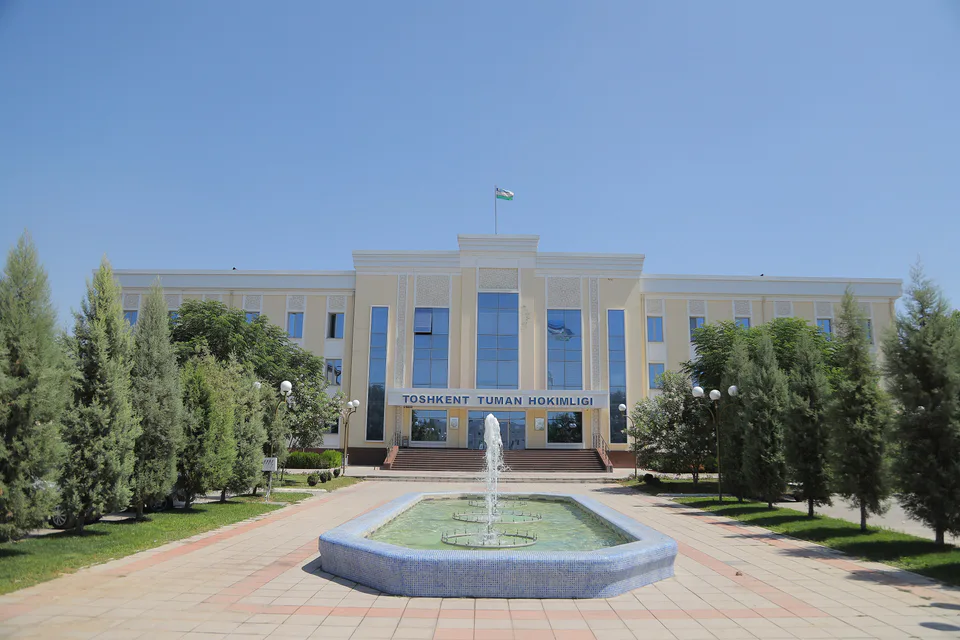
district · Between the capital and Kazakhstan
district · Orchards on the Chirchiq terraces
district · The Chirchiq bank below the Chatkal
district · A district named after a sheikh