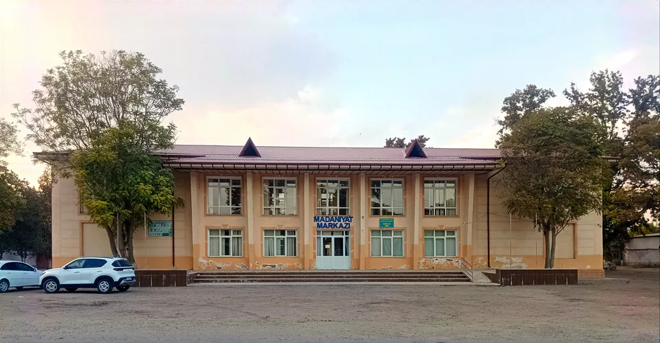
district · Tashkent Region
Quyichirchiq District
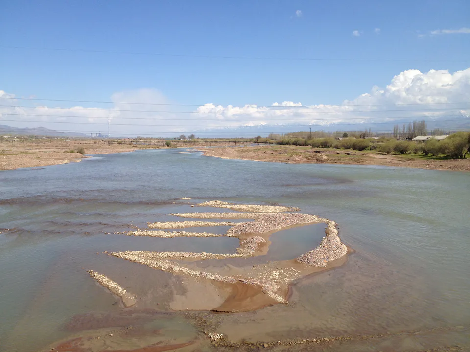
A lowland district between the lower Chirchiq and Akhangaran rivers, with Syr Darya woodlands in the west; its centre is the town of Doʻstobod.
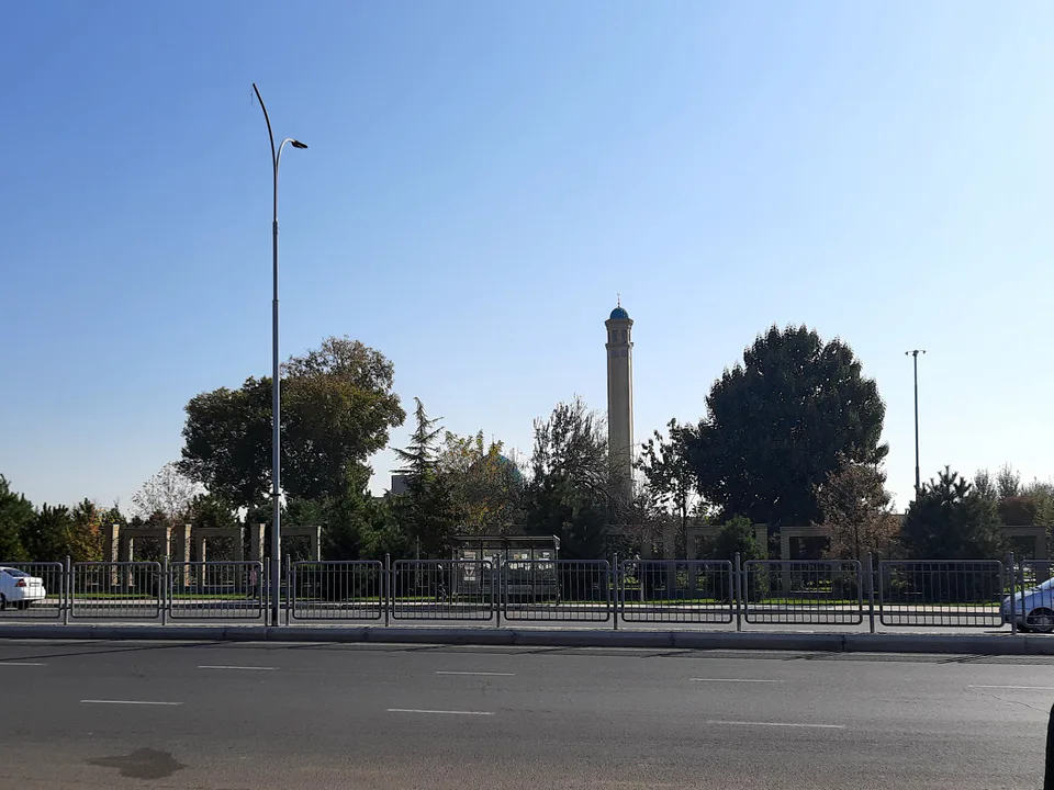
Photo: Said SARDOR · CC0 · Wikimedia Commons
Setting and nature
The district was created on 29 September 1926 as Lower Chirchiq District, merged into Oqqoʻrgʻon District in 1962, restored in 1973 and called Galaba District from 1978 to 1991. It borders Chinoz, Yangiyoʻl, Ortachirchiq and Oqqoʻrgʻon districts, and across the Syr Darya, Sirdaryo Region. The land is a flat plain falling from east to west, with tugai thickets of tamarisk, turanga poplar and oleaster along the Syr Darya.
Doʻstobod
The district centre, Doʻstobod, was called Soldatsky until 1991 and Askarlik until 1996; it was founded by Russian settlers near the confluence of the Akhangaran and the Syr Darya. The economy rests on farming, chiefly cotton and grain. The ruins of Shahrukhiya lie close by in neighbouring Oqqoʻrgʻon District.
Quyichirchiq District
Getting there
Airport, railway station and bus stations — addresses, timetables and the live board.
All transportNurafshon Nearest point: Nurafshon, 25 km
10°clear sky
- 10° / 8°
- 0.8 m/s
- 63%
- Today10°8°
- Mon19°5°
- Tue21°7°
- Wed17°10°
- Thu17°10°
Weather: MET Norway
Quyichirchiq District
Government offices
Khokimiyat, public service centre and other offices: addresses, phones, hours.
All offices (4)Khokimiyat
Kuyichirchik District Khokimiyat
1 Navqiron St, Dustobod, Kuyichirchik District 110900
9:00–18:00
Read morePublic Service Centre
Kuyichirchik District Public Services Center
1 Navqiron St, Dustobod, Kuyichirchik District
Read moreQuyichirchiq District
Postal codes
Codes of the post offices in this city or district.
All postcodes (10)
Angren
city · Uzbekistan’s coal capital
Bekobod
city · A steel town at the gateway of the Syr Darya
Chirchiq
city · A chemical town at the foot of the mountains
Nurafshon
city · The region’s new capital
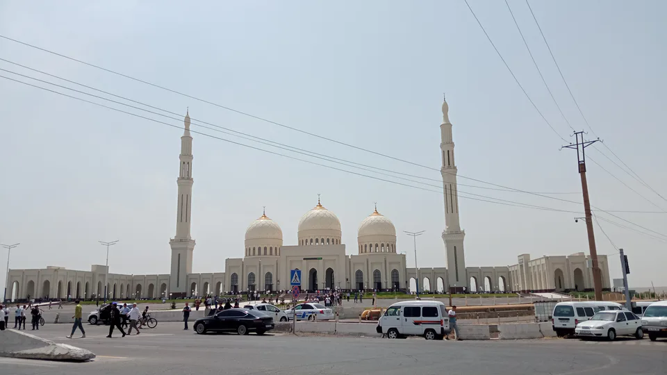
Ohangaron
city · The town of the “blacksmiths”
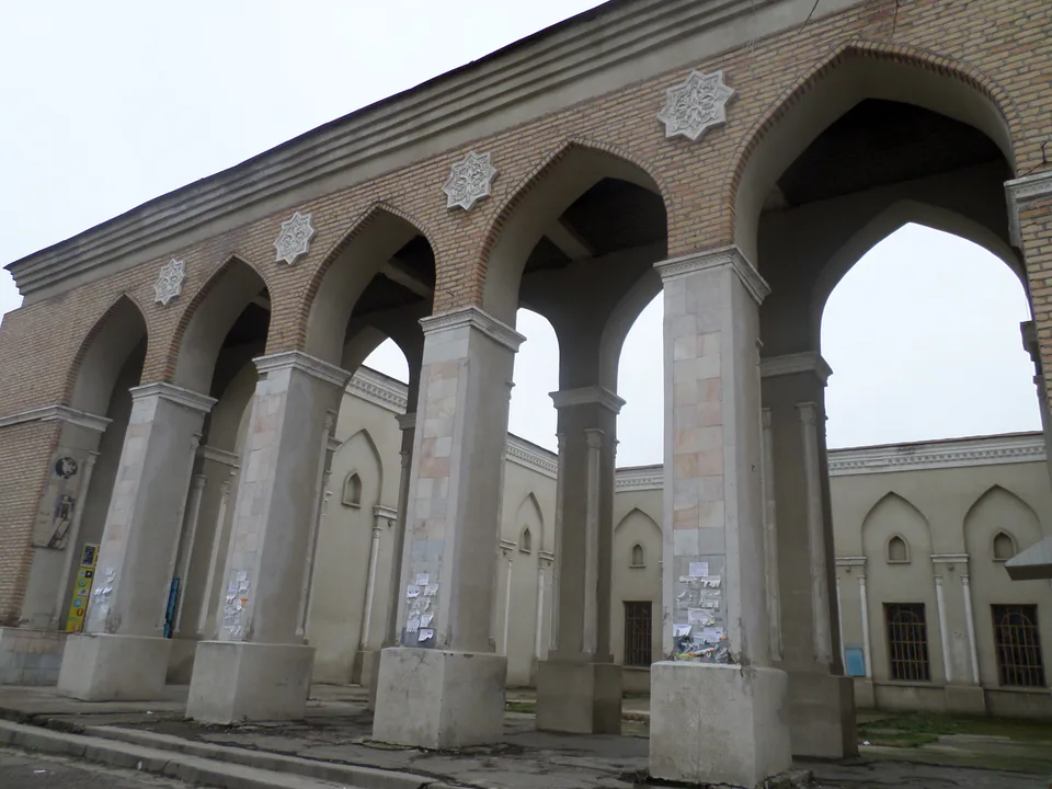
Olmaliq
city · A town of copper and molybdenum
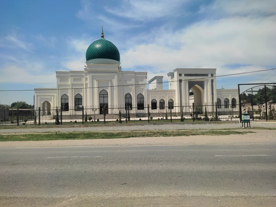
Yangiyoʻl
city · A “new road” on the highway
Bekobod District
district · The Dalverzin steppe and the Syr Darya woodlands
Boʻka District
district · Farm country below the Kurama Range
Bostanliq District
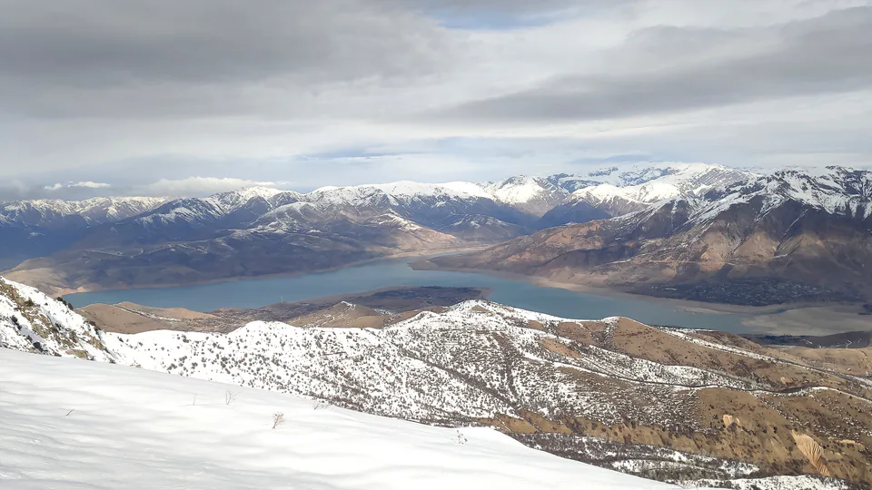
district · Uzbekistan’s mountain resort country
Chinoz District
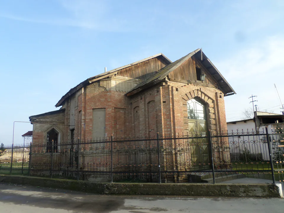
district · Where the Chirchiq meets the Syr Darya
Ohangaron District
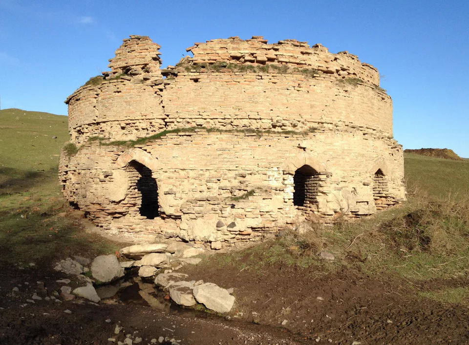
district · A valley of mines between the Chatkal and Kurama
Oqqoʻrgʻon District
district · The land of Chach’s first capital
Ortachirchiq District
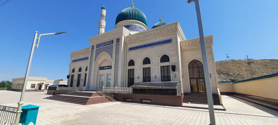
district · Home of the Korean Polar Star farm
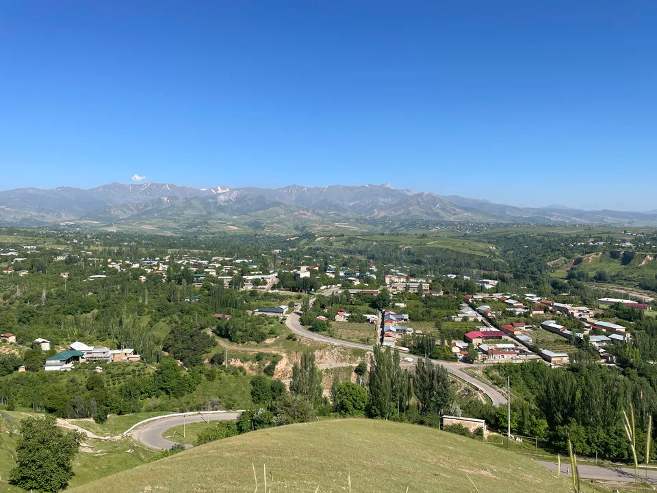
Parkent District
district · The solar furnace and the Chatkal foothills
Piskent District
district · A land of ancient canals below the Kurama
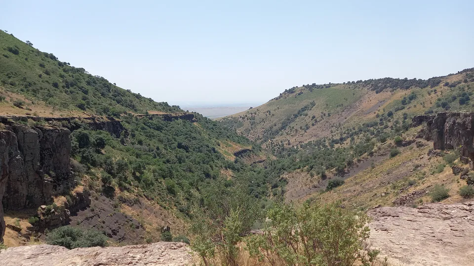
Qibray District
district · The capital’s north-eastern gateway
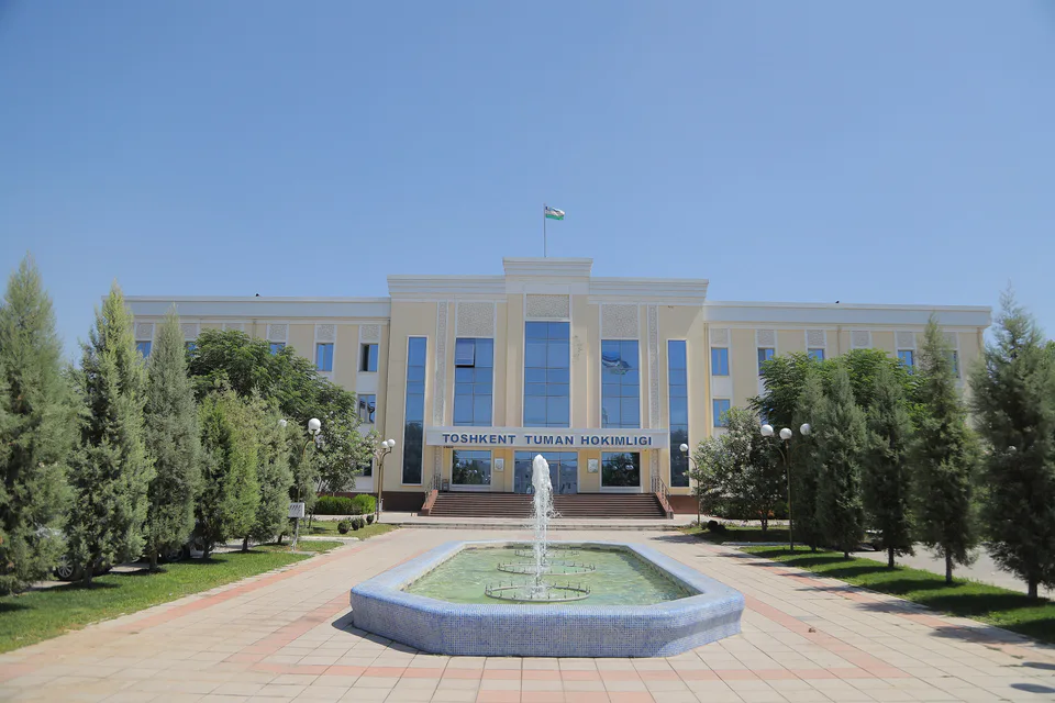
Toshkent District
district · Between the capital and Kazakhstan
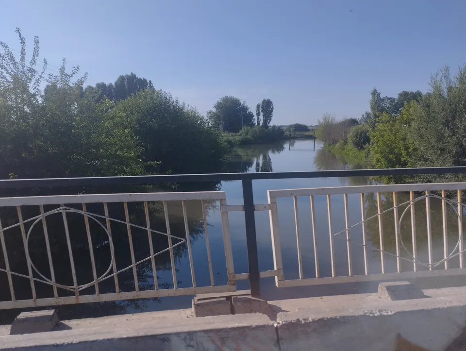
Yangiyoʻl District
district · Orchards on the Chirchiq terraces
Yuqorichirchiq District
district · The Chirchiq bank below the Chatkal
Zangiota District
district · A district named after a sheikh