district · Tashkent Region
Yangiyoʻl District
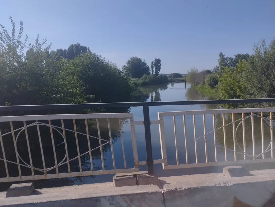
A farming district in the south-west of the region: five ancient terraces of the Chirchiq, a dense web of canals and the township of Gulbahor as its centre.
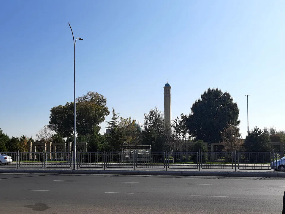
Photo: Mirzoulugʻbek · CC BY-SA 4.0 · Wikimedia Commons
Setting and nature
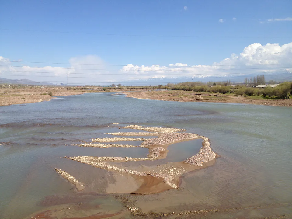
Yangiyoʻl District was created on 29 September 1926 and in 1959 absorbed part of the abolished Oktyabr District. It borders Kazakhstan’s Turkestan Region to the west and north-west and Zangiota, Quyichirchiq and Chinoz districts. The land is mostly flat with some low hills, and five old terraces of the Chirchiq are clearly visible. The Chirchiq and the Kurkuldak, Jun, Bozsu and North Tashkent canals cross it.
Today
It is one of the most populous districts in the region, with over 207,000 people at the start of 2026. Most of the land is under crops and orchards. The district centre is Gulbahor, next to the separately administered town of Yangiyoʻl.
Yangiyoʻl District
Getting there
Airport, railway station and bus stations — addresses, timetables and the live board.
All transportNurafshon Nearest point: Nurafshon, 36 km
10°clear sky
- 10° / 8°
- 0.8 m/s
- 63%
- Today10°8°
- Mon19°5°
- Tue21°7°
- Wed17°10°
- Thu17°10°
Weather: MET Norway
Yangiyoʻl District
Government offices
Khokimiyat, public service centre and other offices: addresses, phones, hours.
All offices (4)Khokimiyat
Yangiyul District Khokimiyat
Sharof Rashidov St, Gulbahor, Yangiyul District 110800
9:00–18:00
Read morePublic Service Centre
Yangiyul District Public Services Center
Sharof Rashidov St, Gulbahor, Yangiyul District
Read moreYangiyoʻl District
Postal codes
Codes of the post offices in this city or district.
All postcodes (10)
Angren
city · Uzbekistan’s coal capital
Bekobod
city · A steel town at the gateway of the Syr Darya
Chirchiq
city · A chemical town at the foot of the mountains
Nurafshon
city · The region’s new capital
Ohangaron
city · The town of the “blacksmiths”
Olmaliq
city · A town of copper and molybdenum
Yangiyoʻl
city · A “new road” on the highway
Bekobod District
district · The Dalverzin steppe and the Syr Darya woodlands
Boʻka District
district · Farm country below the Kurama Range
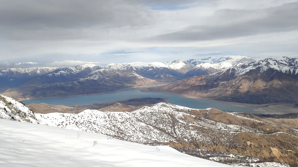
Bostanliq District
district · Uzbekistan’s mountain resort country
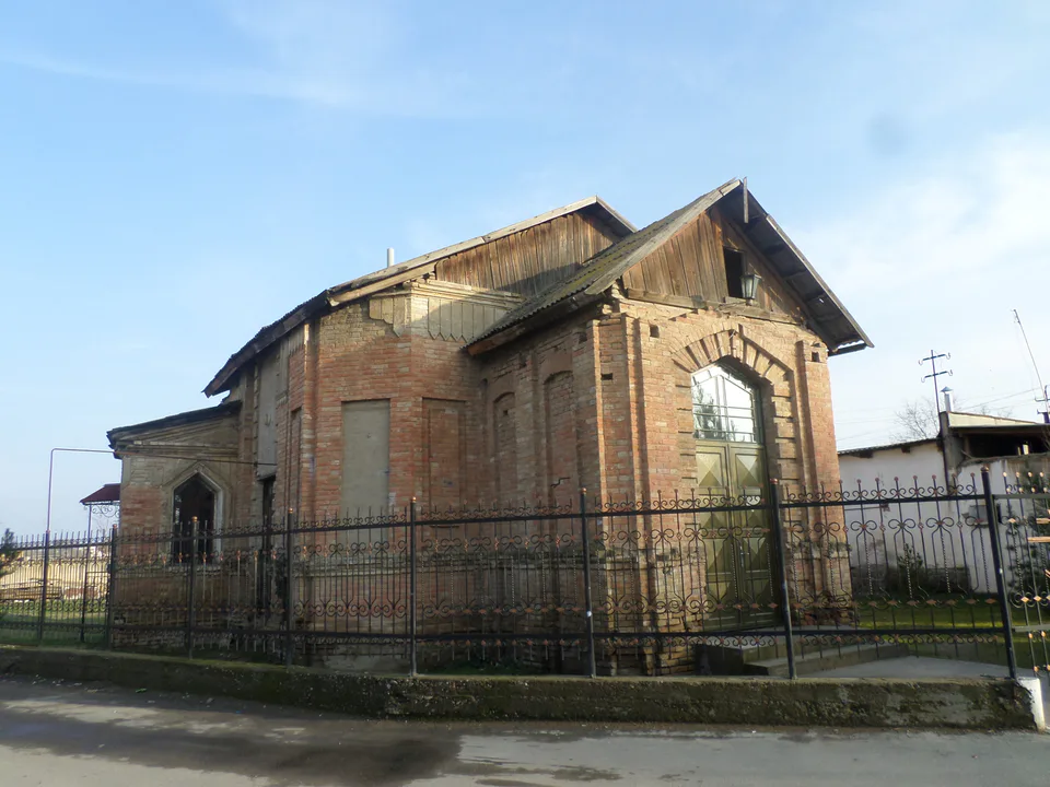
Chinoz District
district · Where the Chirchiq meets the Syr Darya
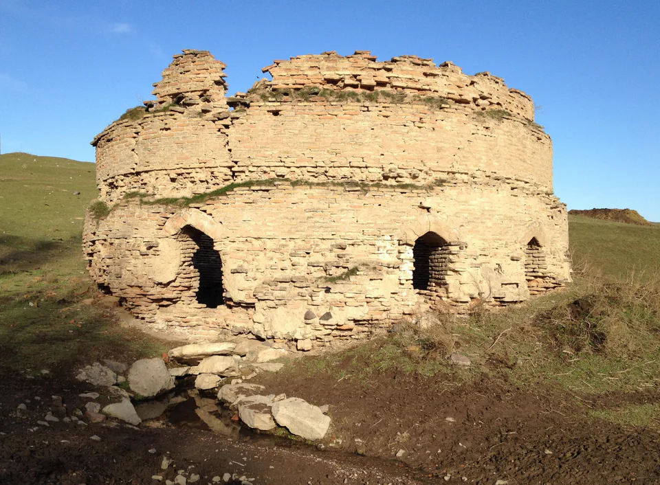
Ohangaron District
district · A valley of mines between the Chatkal and Kurama
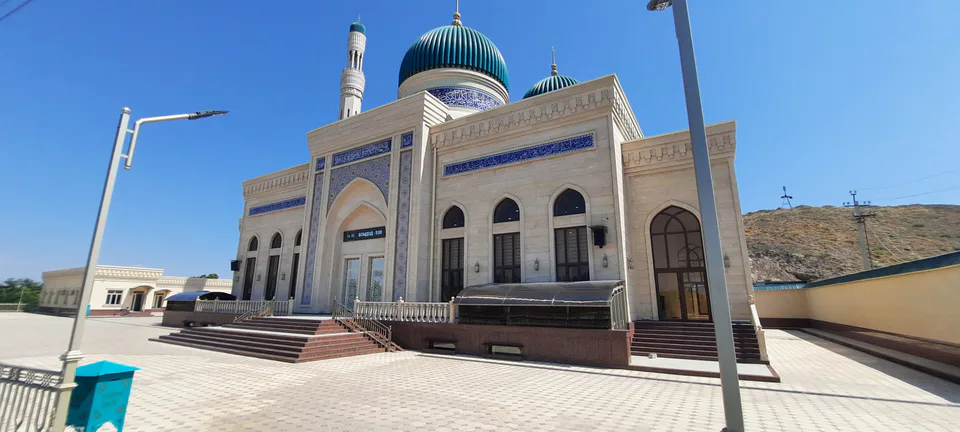
Oqqoʻrgʻon District
district · The land of Chach’s first capital
Ortachirchiq District
district · Home of the Korean Polar Star farm
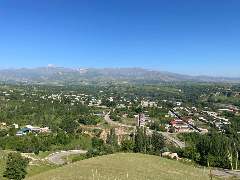
Parkent District
district · The solar furnace and the Chatkal foothills
Piskent District
district · A land of ancient canals below the Kurama
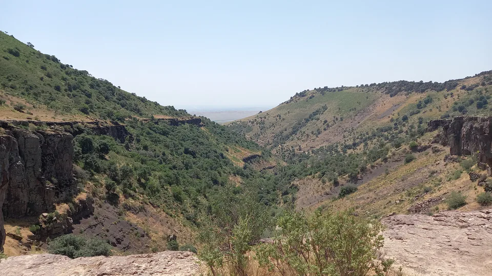
Qibray District
district · The capital’s north-eastern gateway
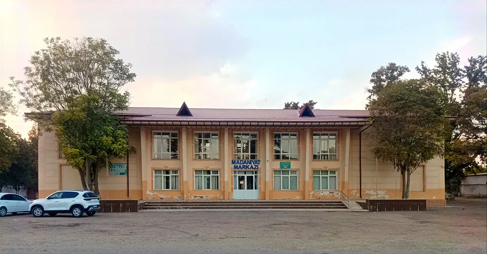
Quyichirchiq District
district · The lower Chirchiq and Akhangaran
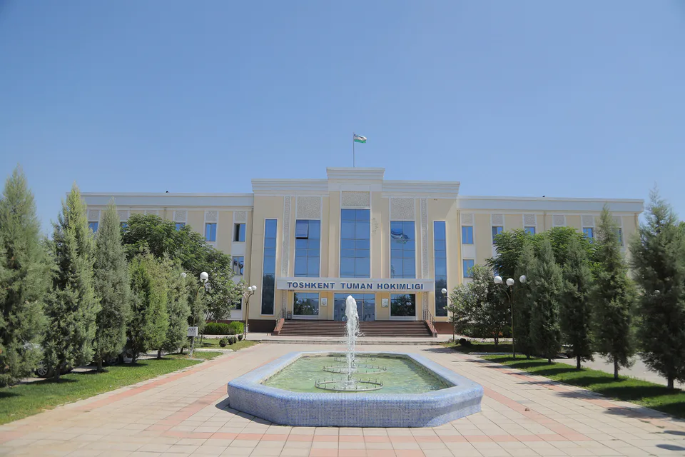
Toshkent District
district · Between the capital and Kazakhstan
Yuqorichirchiq District
district · The Chirchiq bank below the Chatkal
Zangiota District
district · A district named after a sheikh