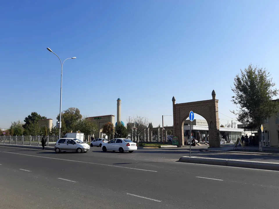
Ensemble · Zangiota District
Zangiata Complex
A shrine built by Timur
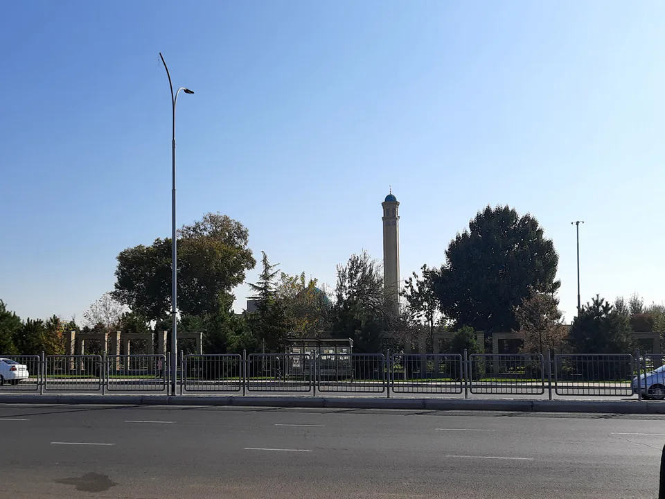
district · Tashkent Region
A district wrapped around the west and south of Tashkent: the Zangiata Complex, ancient farmland and the capital’s largest wholesale markets.
Zangiota District was created on 1 December 1933 and called Kalinin District until May 1992. It borders Tashkent on the west and south, as well as Toshkent, Qibray, Ortachirchiq, Yuqorichirchiq and Yangiyoʻl districts and Kazakhstan. The land lies on the right bank of the Chirchiq and partly on the left bank of the Keles and has been farmed since antiquity, criss-crossed by canals such as the Bozsu, Zakh and Anhor.
The district takes its name from the Sufi Sheikh Zangi Ata, who lived here in the first half of the 13th century. The Zangiata Complex, grown around his Timurid mausoleum and the tomb of his wife Anbar Ona, is one of the great shrines of the Tashkent oasis. The district also hosts Tashkent’s biggest wholesale markets, including the Abu Sahiy trade complex. Its centre is Eshonguzar.
Zangiota District
Zangiota District
Airport, railway station and bus stations — addresses, timetables and the live board.
All transportTashkent Nearest point: Tashkent, 16 km
11°clear sky
Weather: MET Norway
Zangiota District
Checked hotels and places to eat — with addresses, phone numbers, opening hours and price levels.
Zangiota District
Khokimiyat, public service centre and other offices: addresses, phones, hours.
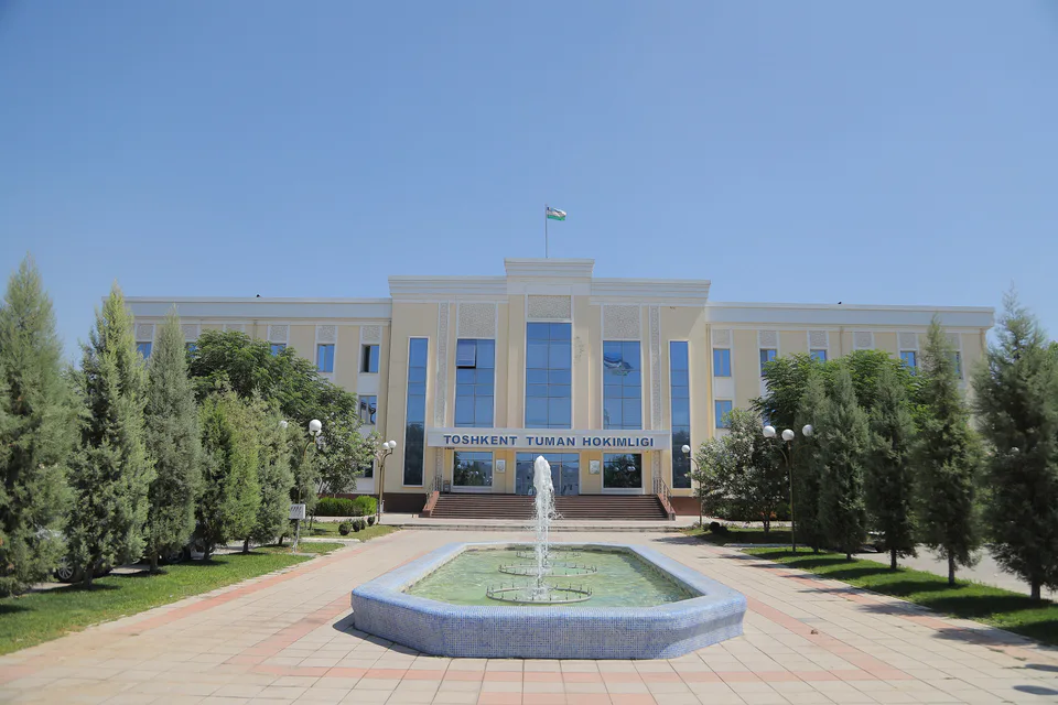
All offices (4)Khokimiyat
23 Mustaqillik St, Eshonguzar, Zangiata District
Read morePublic Service Centre
8 Oybek St, Eshonguzar, Zangiata District
Read moreZangiota District
Codes of the post offices in this city or district.
All postcodes (9)
city · Uzbekistan’s coal capital
city · A steel town at the gateway of the Syr Darya
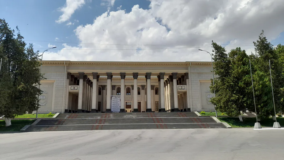
city · A chemical town at the foot of the mountains
city · The region’s new capital
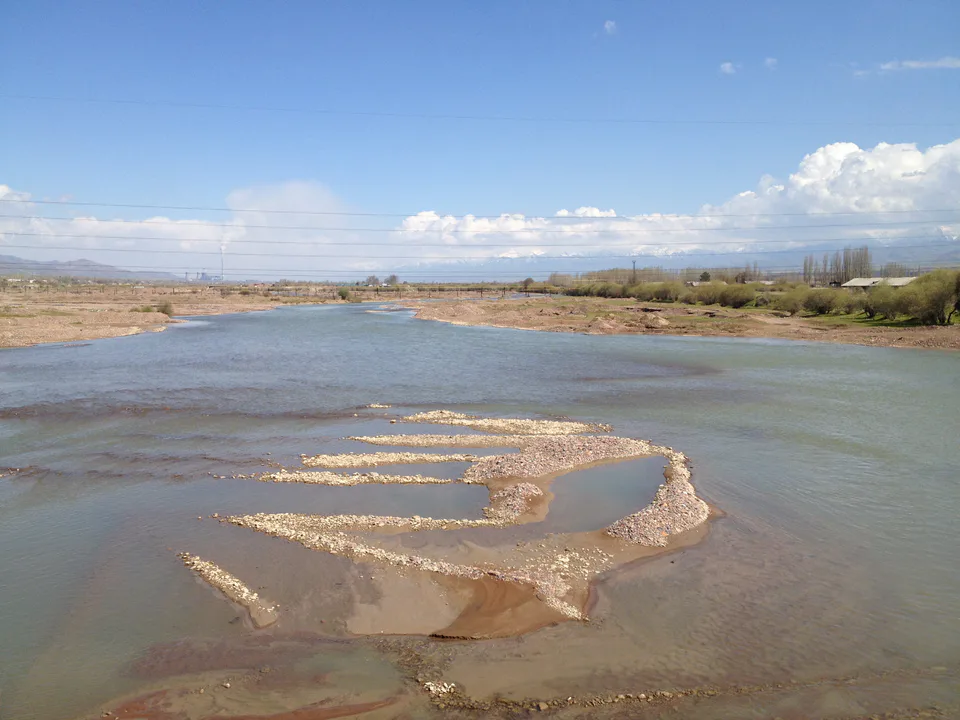
city · The town of the “blacksmiths”
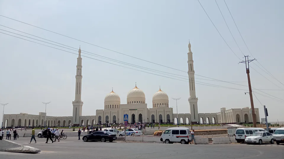
city · A town of copper and molybdenum
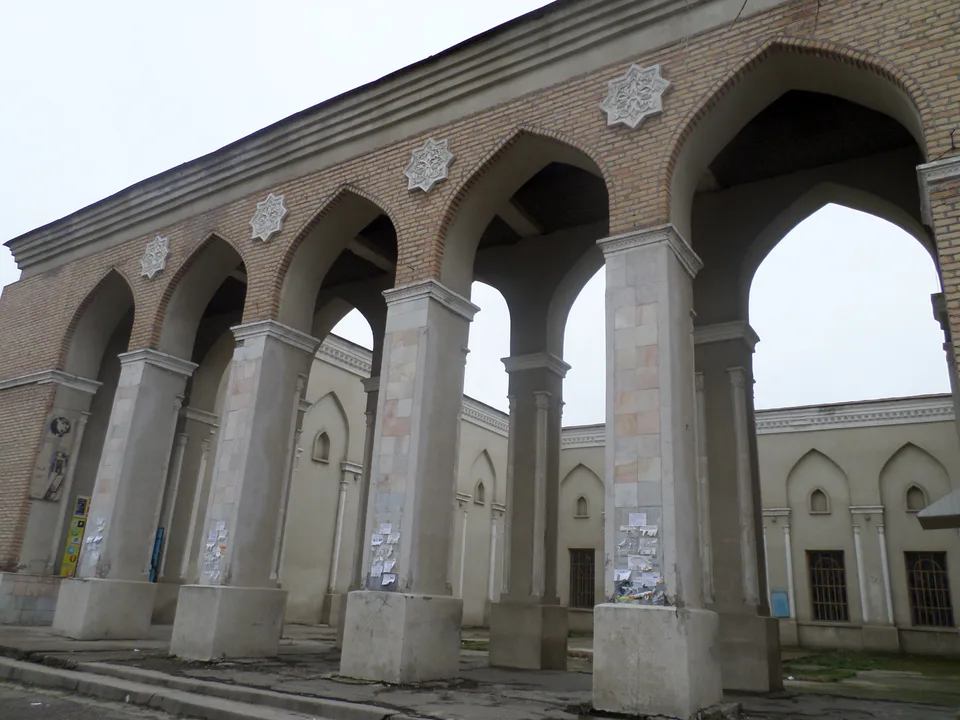
city · A “new road” on the highway
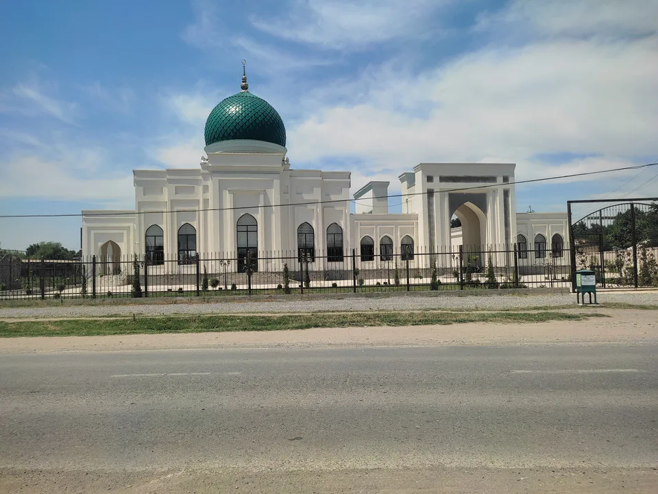
district · The Dalverzin steppe and the Syr Darya woodlands
district · Farm country below the Kurama Range
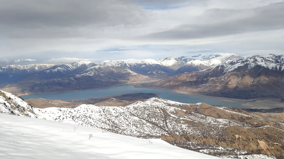
district · Uzbekistan’s mountain resort country
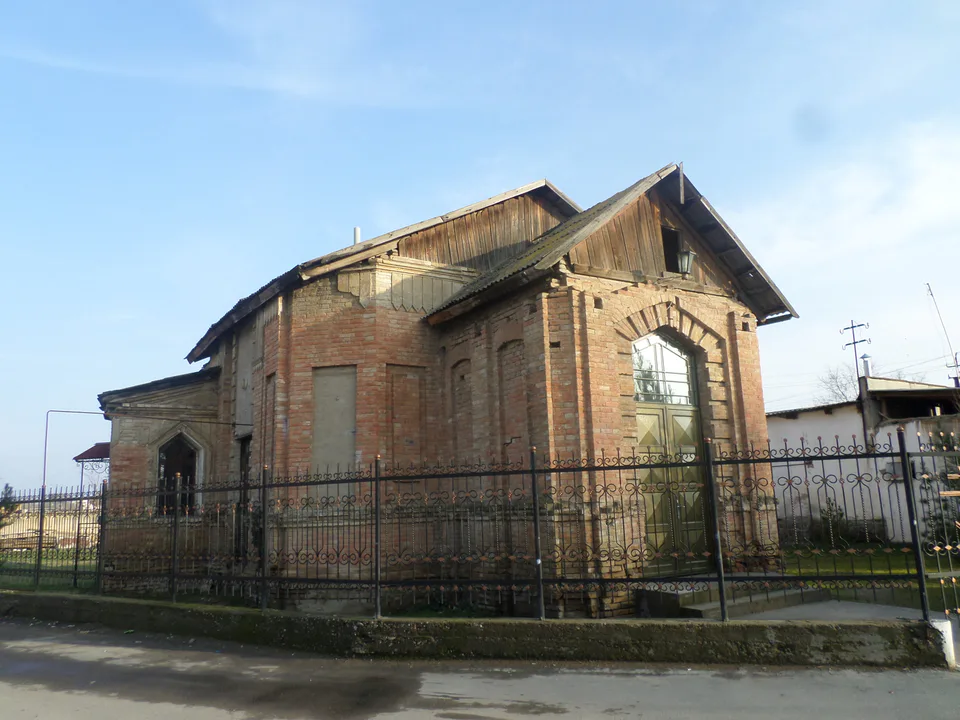
district · Where the Chirchiq meets the Syr Darya
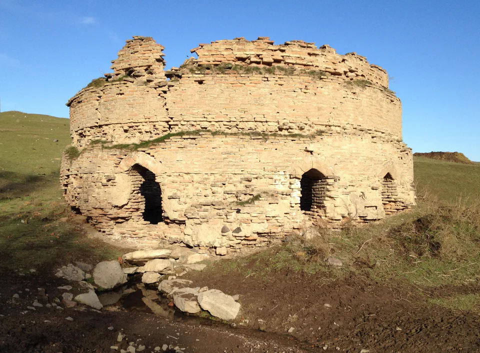
district · A valley of mines between the Chatkal and Kurama
district · The land of Chach’s first capital
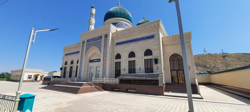
district · Home of the Korean Polar Star farm
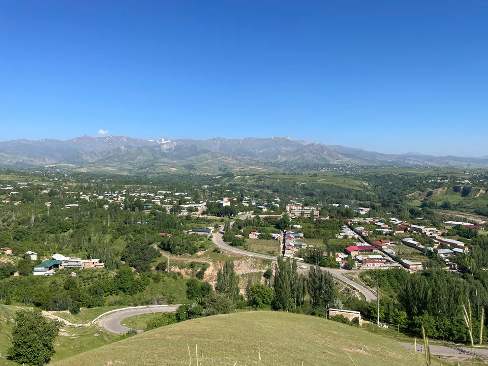
district · The solar furnace and the Chatkal foothills
district · A land of ancient canals below the Kurama
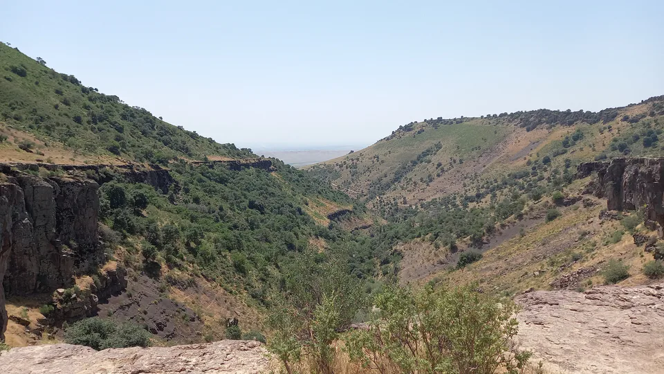
district · The capital’s north-eastern gateway
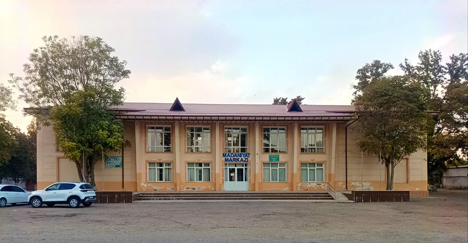
district · The lower Chirchiq and Akhangaran
district · Between the capital and Kazakhstan
district · Orchards on the Chirchiq terraces
district · The Chirchiq bank below the Chatkal