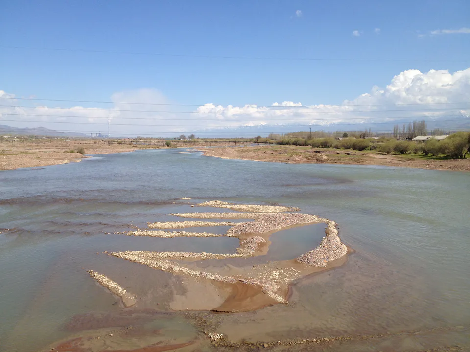
city · Tashkent Region
Ohangaron
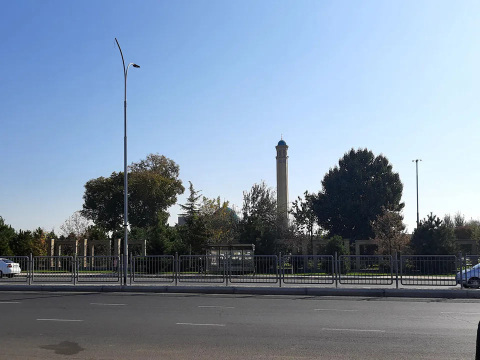
An industrial town at the foot of the Kurama Range that grew up around a cement works from 1960; its name means “blacksmiths”.
Photo: Carpodacus · CC BY-SA 4.0 · Wikimedia Commons
History
Ohangaron grew from a village of the same name, long home to Uzbeks and Tajiks. Its name is Tajik for “blacksmiths”: the Akhangaran valley, the ancient Ilak, has been a land of mining and metalworking since antiquity. It became a settlement in 1960, when work began on a cement plant, a town in 1966 and a city of regional subordination in 1976.
Today
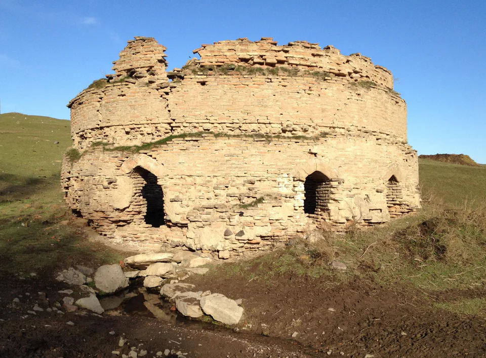
The town lies on the Akhangaran (Angren) River at the foot of the Kurama Range, at about 567 m, on the Tashkent–Angren railway. It is a major producer of building materials, with a cement plant opened in 1966 and works making slate, reinforced concrete and bricks. Ten kilometres north, in Qaynar village, stand the ruins of the only surviving sardoba, or domed cistern, in Tashkent Region.
Ohangaron
Getting there
Airport, railway station and bus stations — addresses, timetables and the live board.
All transportNurafshon Nearest point: Nurafshon, 28 km
10°clear sky
- 10° / 8°
- 0.8 m/s
- 63%
- Today10°8°
- Mon19°5°
- Tue21°7°
- Wed17°10°
- Thu17°10°
Weather: MET Norway
Ohangaron
Government offices
Khokimiyat, public service centre and other offices: addresses, phones, hours.
All offices (4)Khokimiyat
Akhangaran City Khokimiyat
1 Okhunboboev St, Akhangaran
Read morePublic Service Centre
Akhangaran City Public Services Center
15 Amir Temur St, Akhangaran
Read more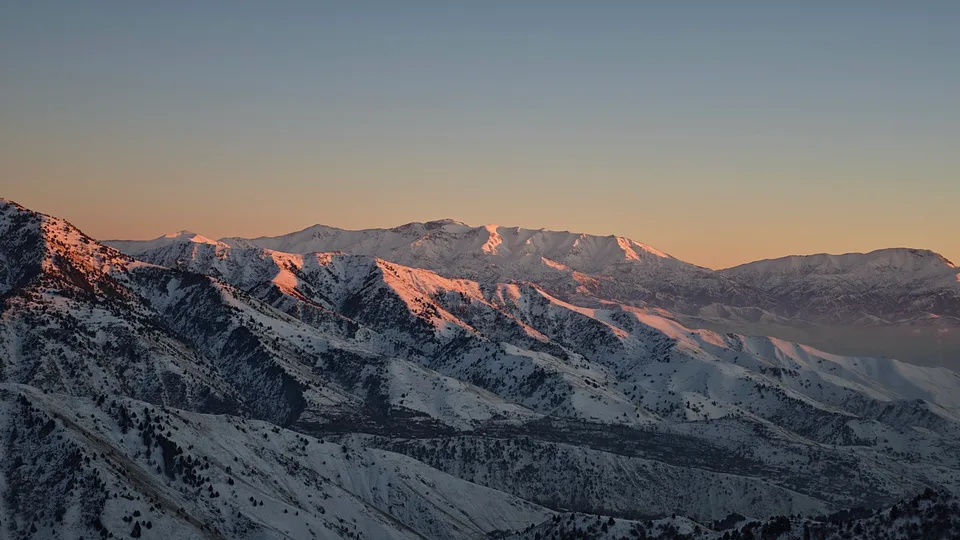
Angren
city · Uzbekistan’s coal capital
Bekobod
city · A steel town at the gateway of the Syr Darya
Chirchiq
city · A chemical town at the foot of the mountains
Nurafshon
city · The region’s new capital
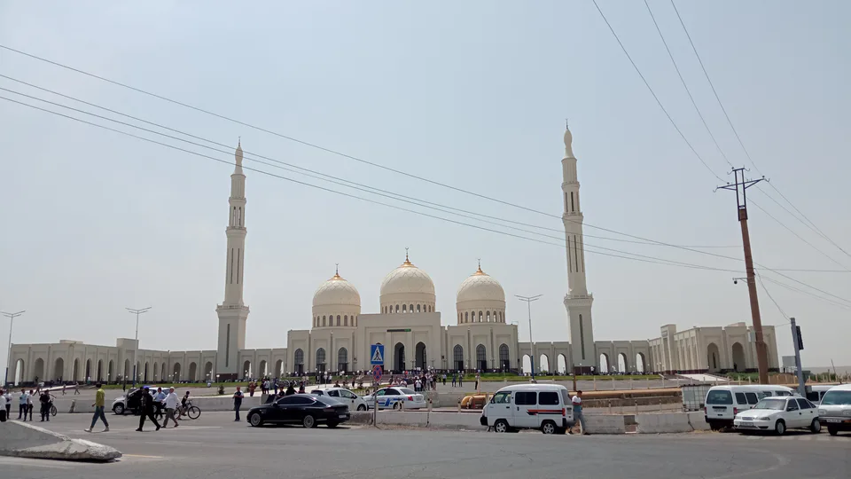
Olmaliq
city · A town of copper and molybdenum
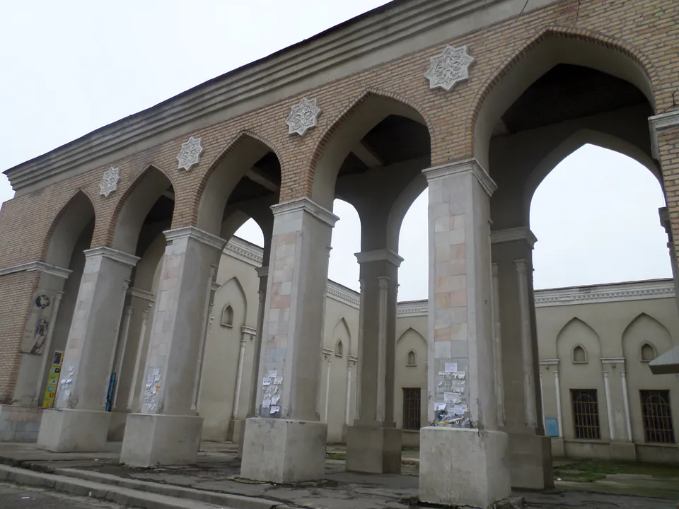
Yangiyoʻl
city · A “new road” on the highway
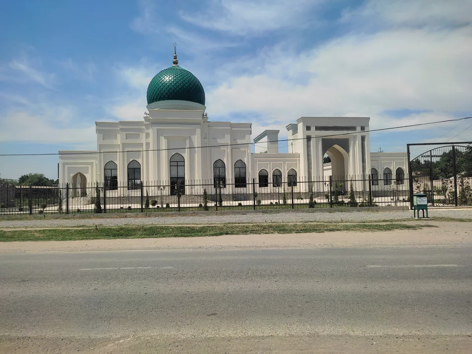
Bekobod District
district · The Dalverzin steppe and the Syr Darya woodlands
Boʻka District
district · Farm country below the Kurama Range
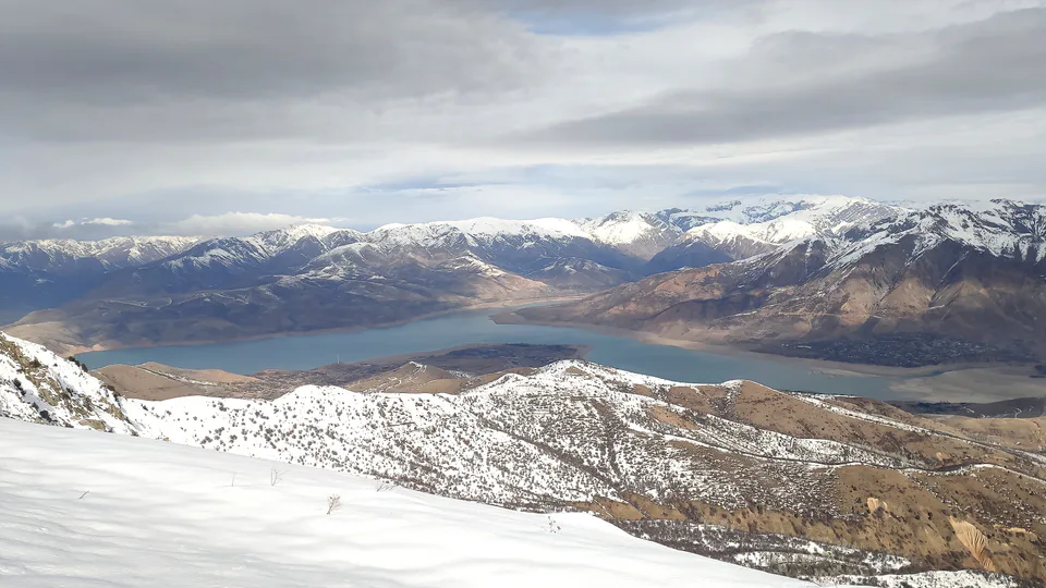
Bostanliq District
district · Uzbekistan’s mountain resort country
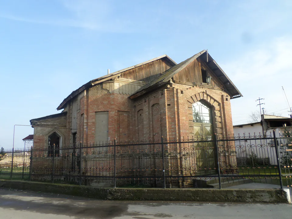
Chinoz District
district · Where the Chirchiq meets the Syr Darya
Ohangaron District
district · A valley of mines between the Chatkal and Kurama
Oqqoʻrgʻon District
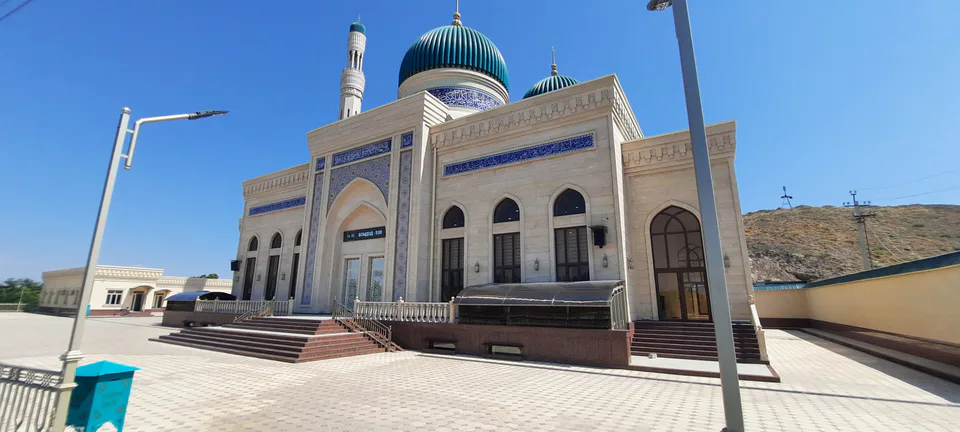
district · The land of Chach’s first capital
Ortachirchiq District
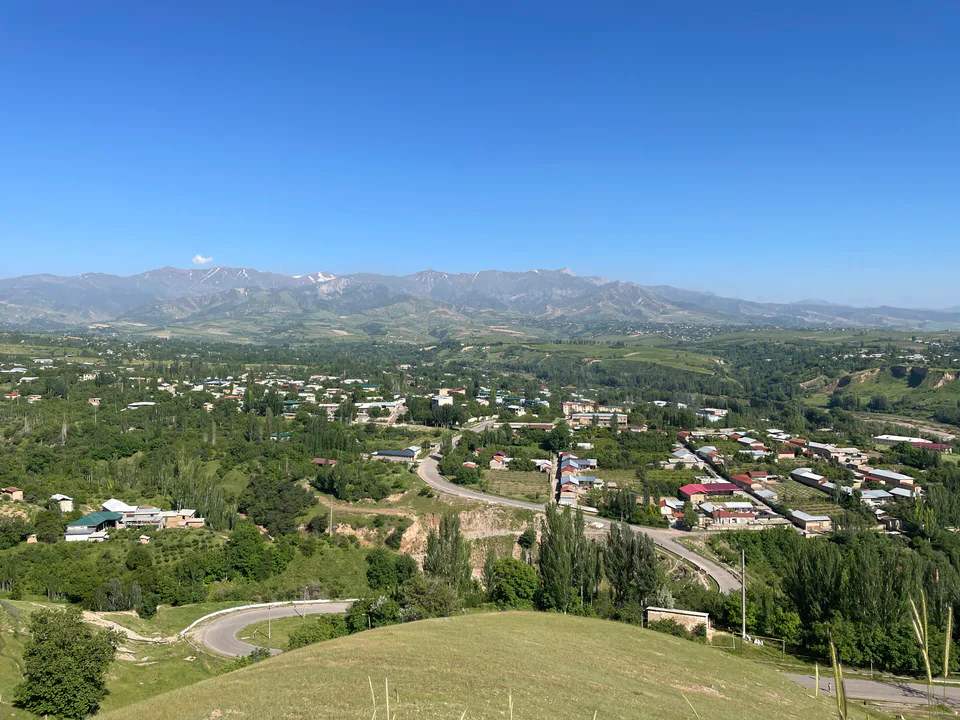
district · Home of the Korean Polar Star farm
Parkent District
district · The solar furnace and the Chatkal foothills
Piskent District
district · A land of ancient canals below the Kurama
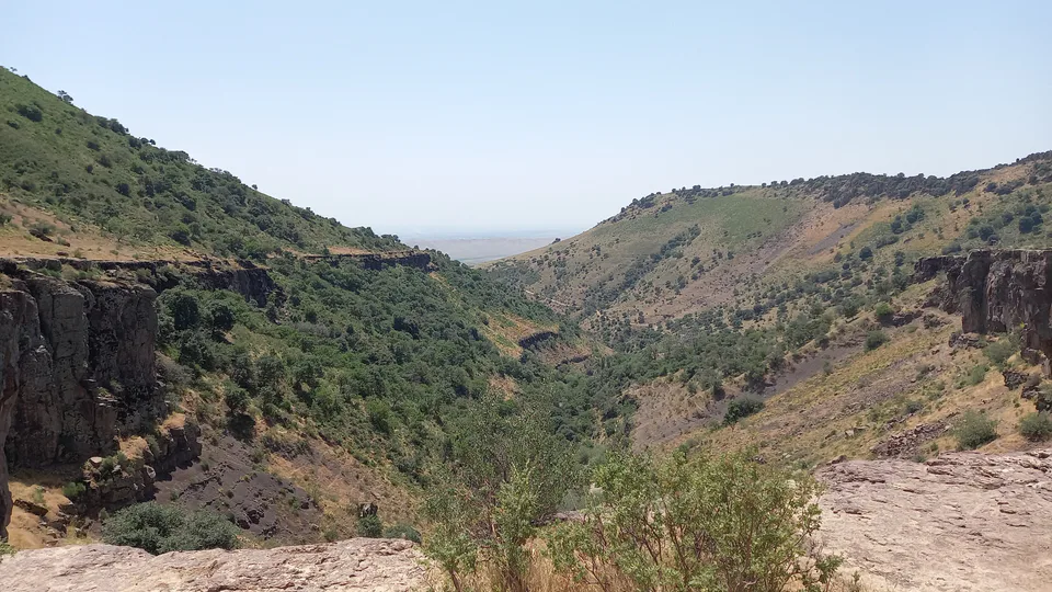
Qibray District
district · The capital’s north-eastern gateway
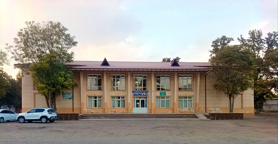
Quyichirchiq District
district · The lower Chirchiq and Akhangaran
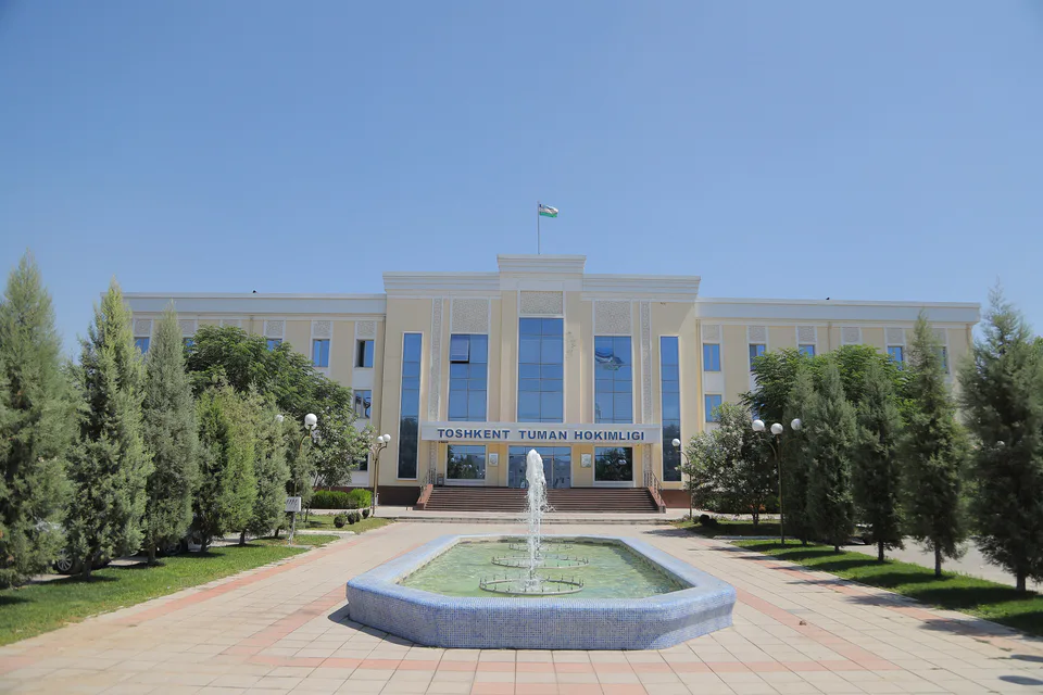
Toshkent District
district · Between the capital and Kazakhstan
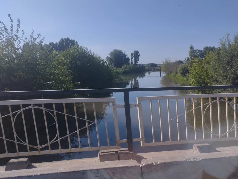
Yangiyoʻl District
district · Orchards on the Chirchiq terraces
Yuqorichirchiq District
district · The Chirchiq bank below the Chatkal
Zangiota District
district · A district named after a sheikh