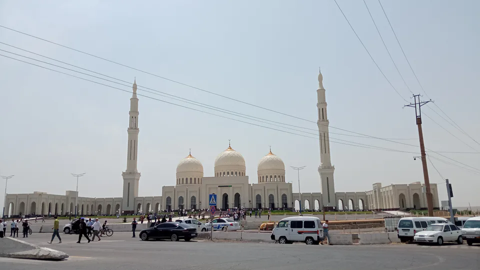
city · Tashkent Region
Olmaliq
Uzbekistan’s centre of non-ferrous metallurgy, a town since 1951, with the ruins of Tunkat, the ancient capital of Ilak, and the Kul-Ata shrine nearby.
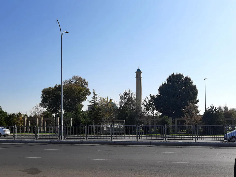
Photo: Dinamik · CC BY-SA 4.0 · Wikimedia Commons
Ancient Ilak
The country around Olmaliq has been mined since antiquity. Close to today’s town, on the left bank of the Akhangaran, stood medieval Tunkat, capital of the principality of Ilak. Studied by Mikhail Masson in the 1920s–30s and by Yuri Buryakov from 1959, it was founded in the 6th–7th centuries and had a ruler’s palace and a mint, with craftsmen working iron, copper and precious metals. The Kul-Ata shrine and castle lie 5 km east of town. The name is explained either as “place of apples” or “unconquered place”.
Today
Olmaliq became a town in 1951 and grew into Uzbekistan’s largest centre of non-ferrous metallurgy, mining and processing copper, molybdenum, gold and silver. It lies on the Olmaliqsay at the foot of the Kurama Range and has a local history museum. The surrounding hills and the Akhangaran valley are full of traces of ancient mining.
Olmaliq
Getting there
Airport, railway station and bus stations — addresses, timetables and the live board.
All transportNurafshon Nearest point: Nurafshon, 33 km
10°clear sky
- 10° / 8°
- 0.8 m/s
- 63%
- Today10°8°
- Mon19°5°
- Tue21°7°
- Wed17°10°
- Thu17°10°
Weather: MET Norway
Olmaliq
Where to stay and eat
Checked hotels and places to eat — with addresses, phone numbers, opening hours and price levels.
Places to stay1
See all (1)Olmaliq
Government offices
Khokimiyat, public service centre and other offices: addresses, phones, hours.
All offices (4)Khokimiyat
Almalyk City Khokimiyat
47 Amir Temur St, Almalyk 110100
Read morePublic Service Centre
Almalyk City Public Services Center
2 Babushkin St, Almalyk
Read more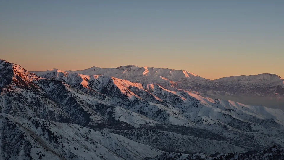
Angren
city · Uzbekistan’s coal capital
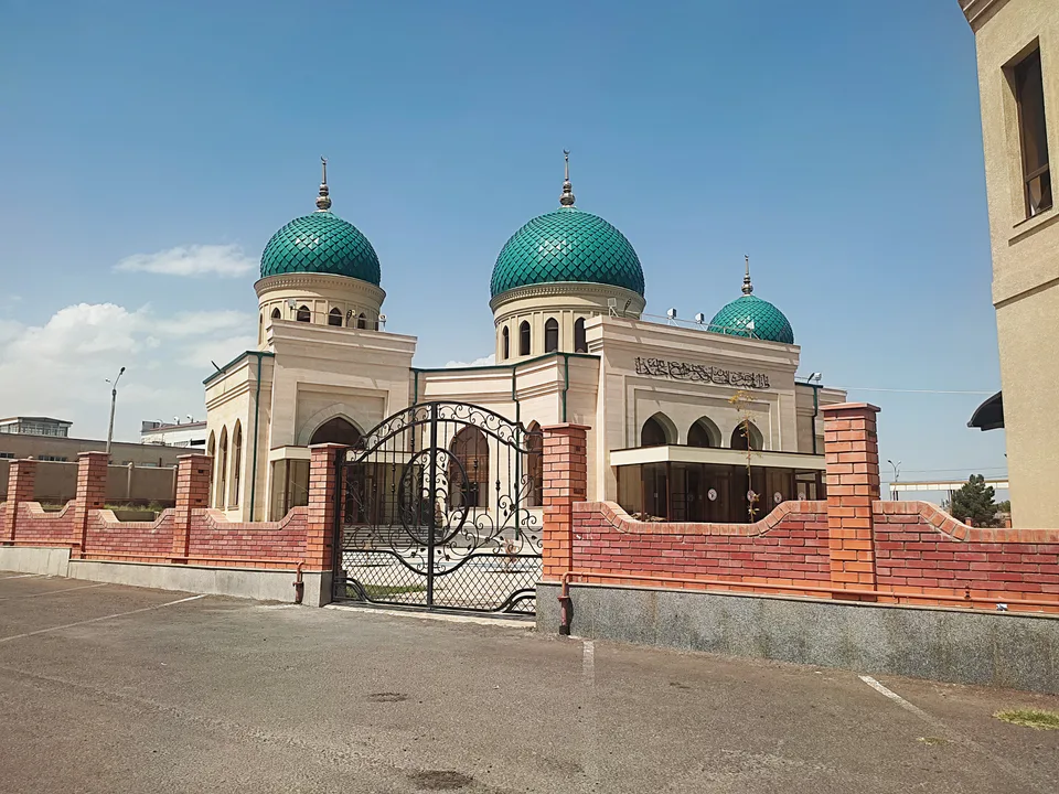
Bekobod
city · A steel town at the gateway of the Syr Darya
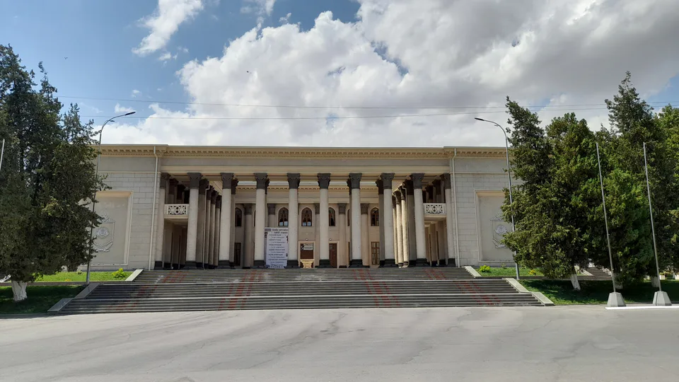
Chirchiq
city · A chemical town at the foot of the mountains
Nurafshon
city · The region’s new capital
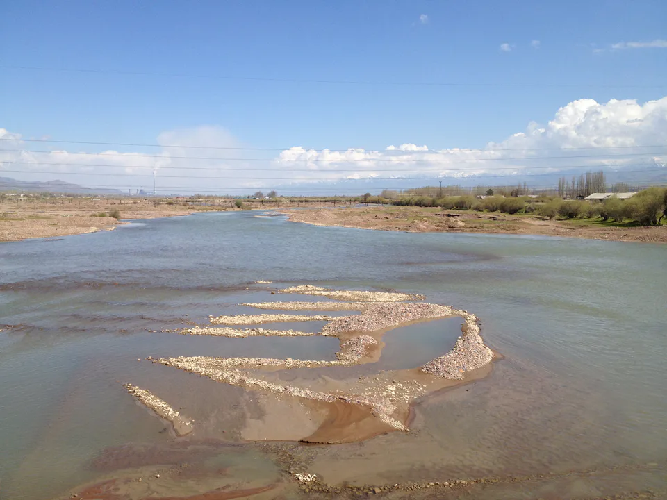
Ohangaron
city · The town of the “blacksmiths”
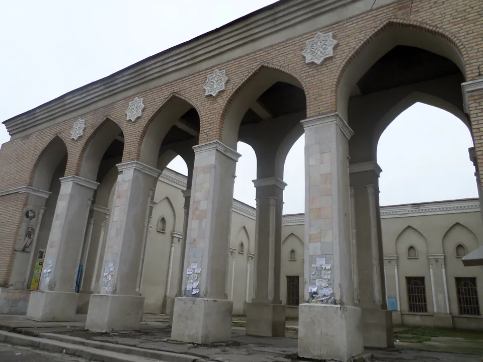
Yangiyoʻl
city · A “new road” on the highway
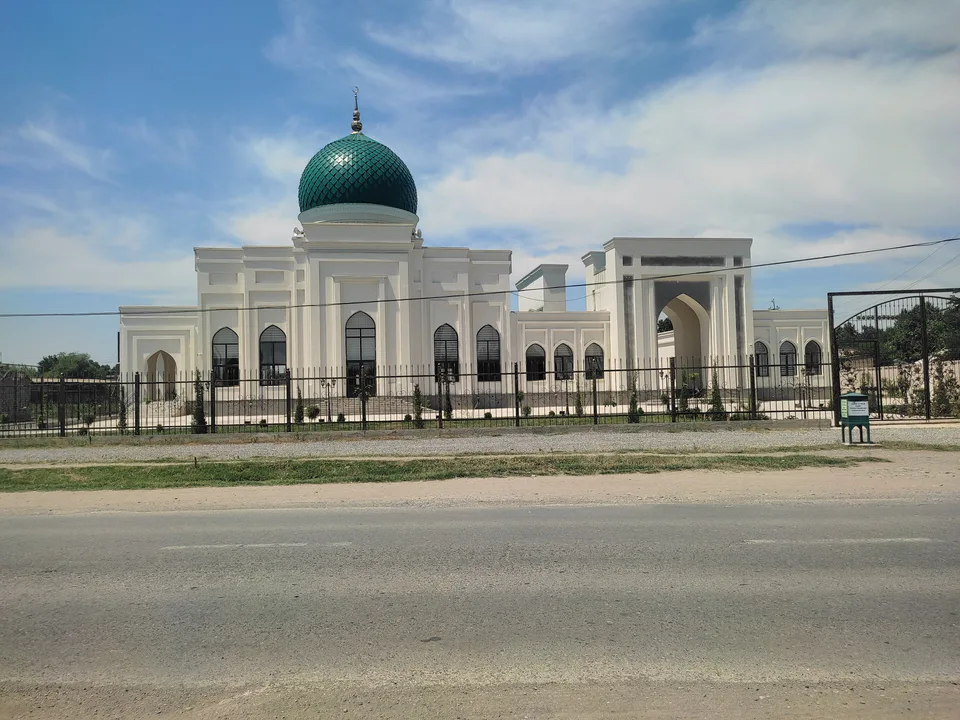
Bekobod District
district · The Dalverzin steppe and the Syr Darya woodlands
Boʻka District
district · Farm country below the Kurama Range
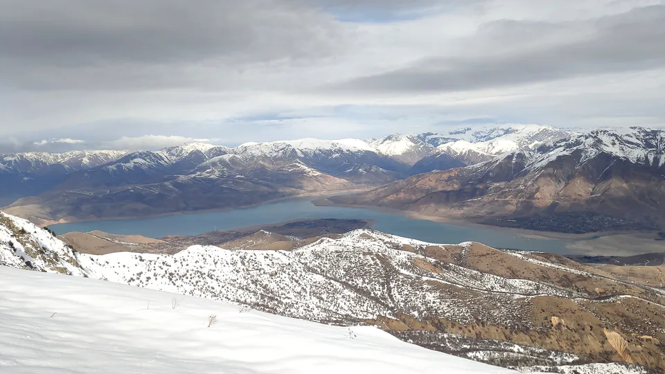
Bostanliq District
district · Uzbekistan’s mountain resort country
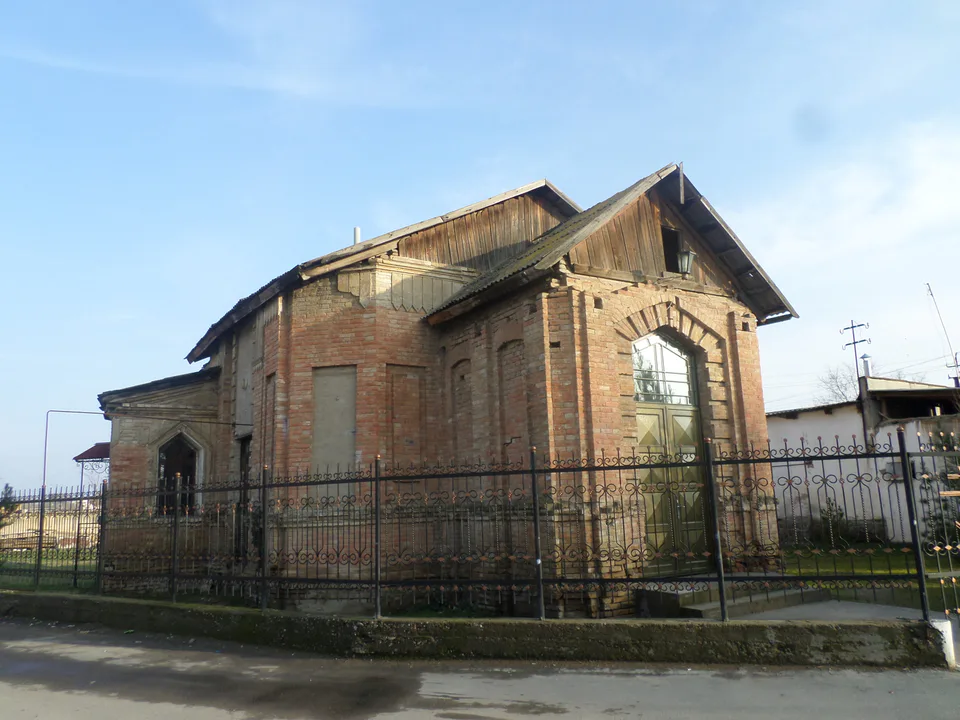
Chinoz District
district · Where the Chirchiq meets the Syr Darya
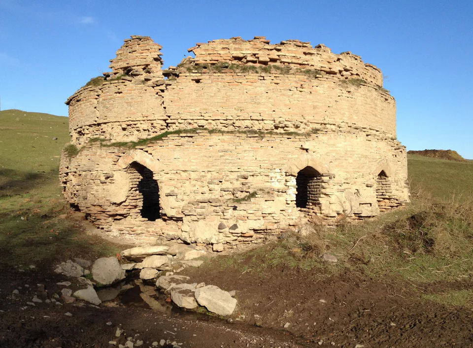
Ohangaron District
district · A valley of mines between the Chatkal and Kurama
Oqqoʻrgʻon District
district · The land of Chach’s first capital
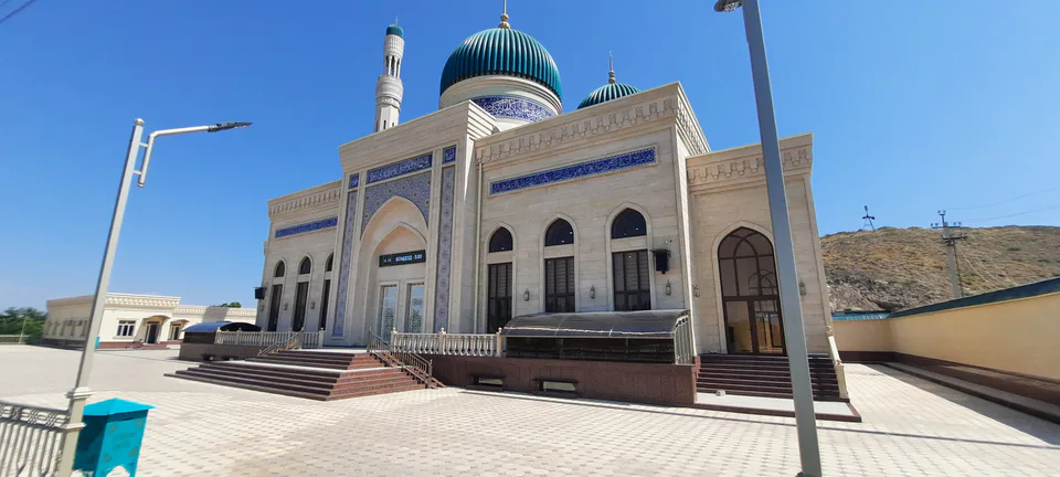
Ortachirchiq District
district · Home of the Korean Polar Star farm
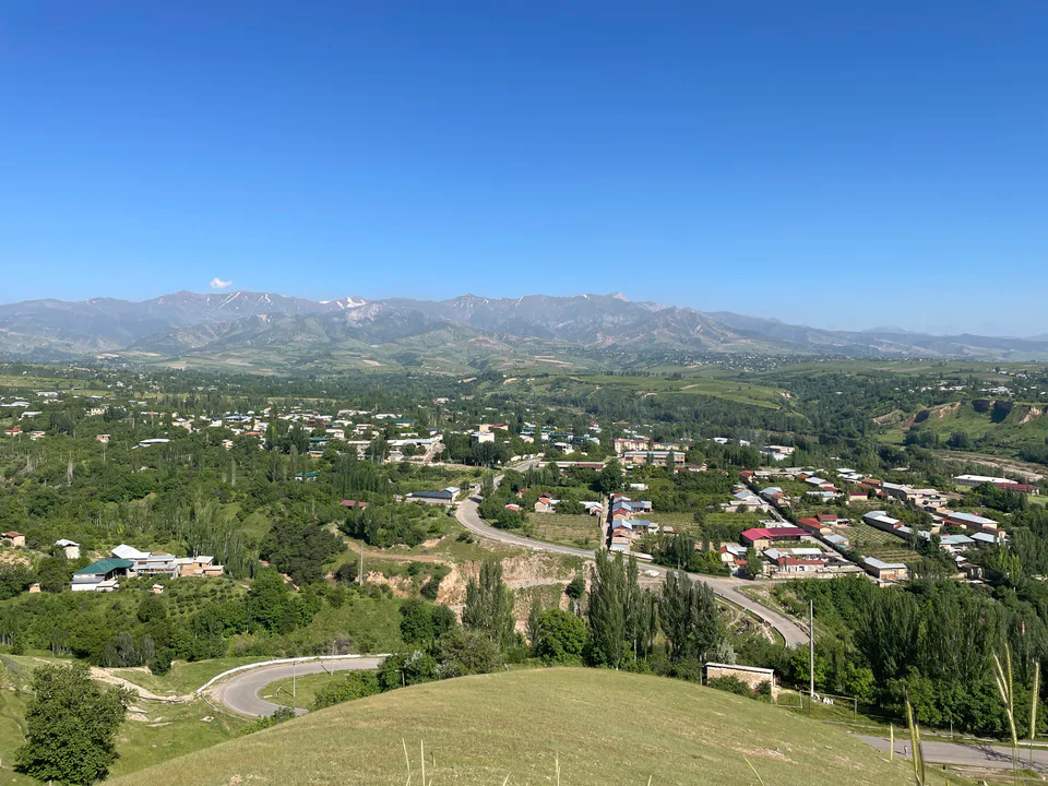
Parkent District
district · The solar furnace and the Chatkal foothills
Piskent District
district · A land of ancient canals below the Kurama
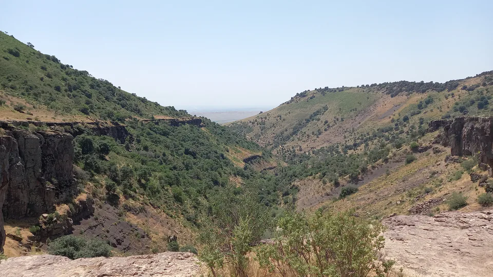
Qibray District
district · The capital’s north-eastern gateway
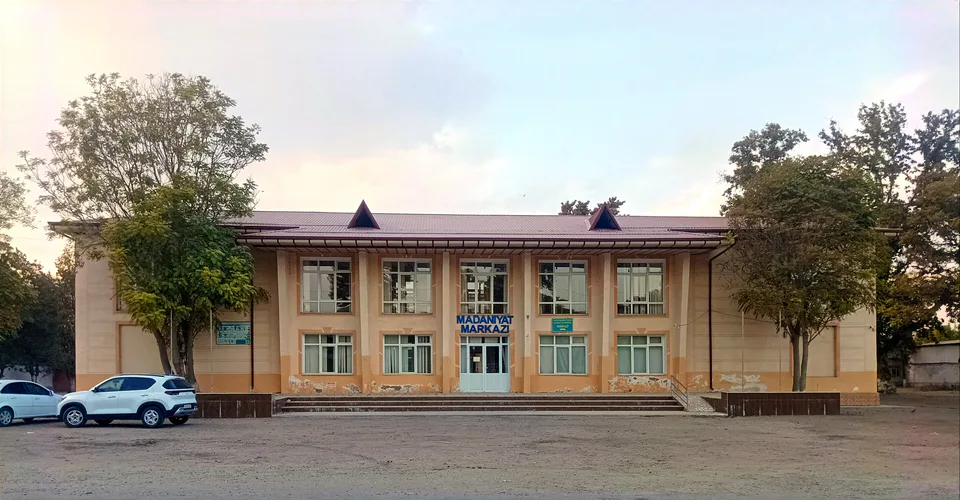
Quyichirchiq District
district · The lower Chirchiq and Akhangaran
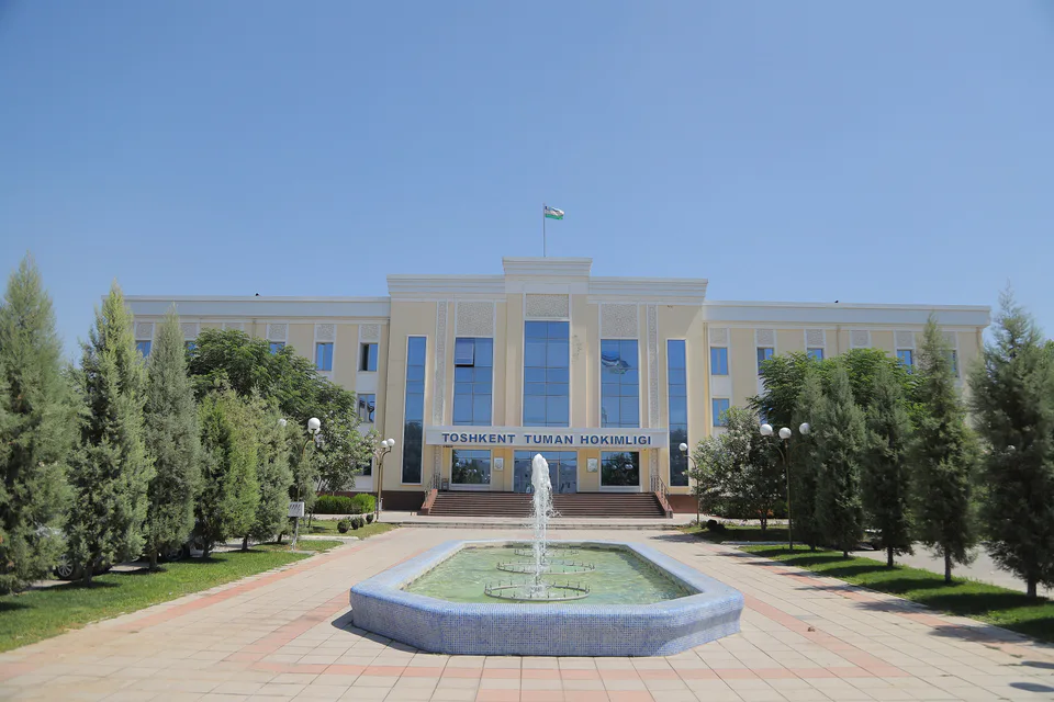
Toshkent District
district · Between the capital and Kazakhstan
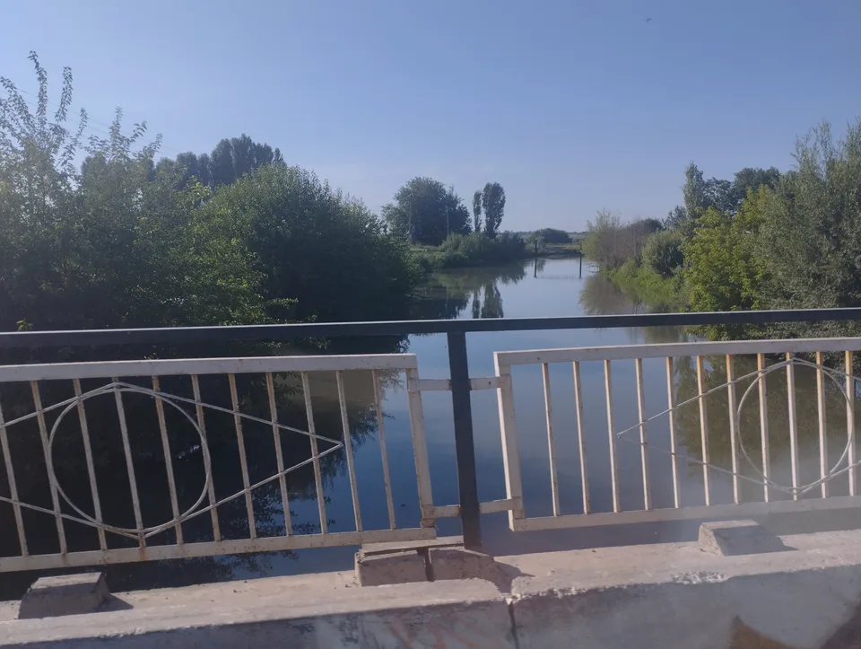
Yangiyoʻl District
district · Orchards on the Chirchiq terraces
Yuqorichirchiq District
district · The Chirchiq bank below the Chatkal
Zangiota District
district · A district named after a sheikh