Modern · Shirin
Farkhad Hydropower Station
Built by mass volunteer labour during the war
A land won from the steppe
One of Uzbekistan’s smallest regions, in the Hungry Steppe beside the Syr Darya: cotton country made by canals, the Farkhad dam, the Ogʻoch Sardoba and the city of Gulistan.
Sirdaryo Region lies in central Uzbekistan on the left bank of the Syr Darya, bordered by Kazakhstan to the north, Tashkent Region to the east, Tajikistan to the south and Jizzakh Region to the west. At 4,280 km² it is, Tashkent city aside, the smallest region in the country, home to 946,000 people at the start of 2026. It is divided into eight districts and three cities of regional status: Gulistan, Shirin and Yangiyer.
Most of it is taken up by the Hungry Steppe, or Mirzachul, an undulating plain on the old terraces of the Syr Darya, rising from 230 m in the north to 400–450 m in the centre and 600–650 m in the south, with the broad river valley along the east. The climate is harshly continental and dry: July averages 27–29 °C and summer peaks reach 45 °C, winter frosts can fall to −30 °C, and rainfall is only 180–220 mm a year. From November to March the fierce Bekobod wind blows at 20–25 m/s, reaching 40 m/s at Boyovut. Much of the irrigated land is saline, so shelter belts and drainage networks have been built. In spring poppies and snowdrops bloom on the steppe among camelthorn, wormwood, tamarisk and saxaul, and the wildlife includes porcupines, foxes, wolves, jackals, wild boar and sandgrouse.
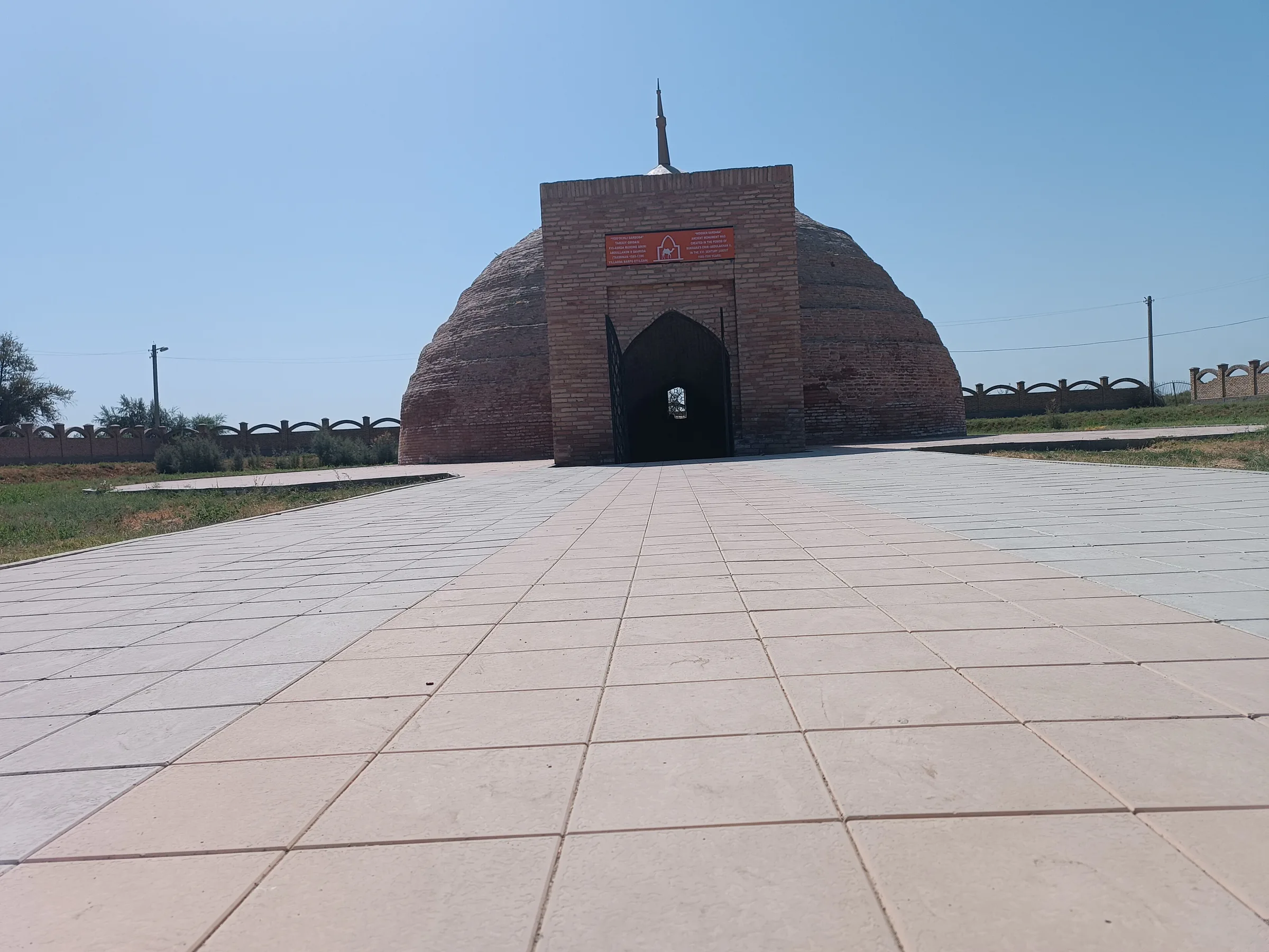
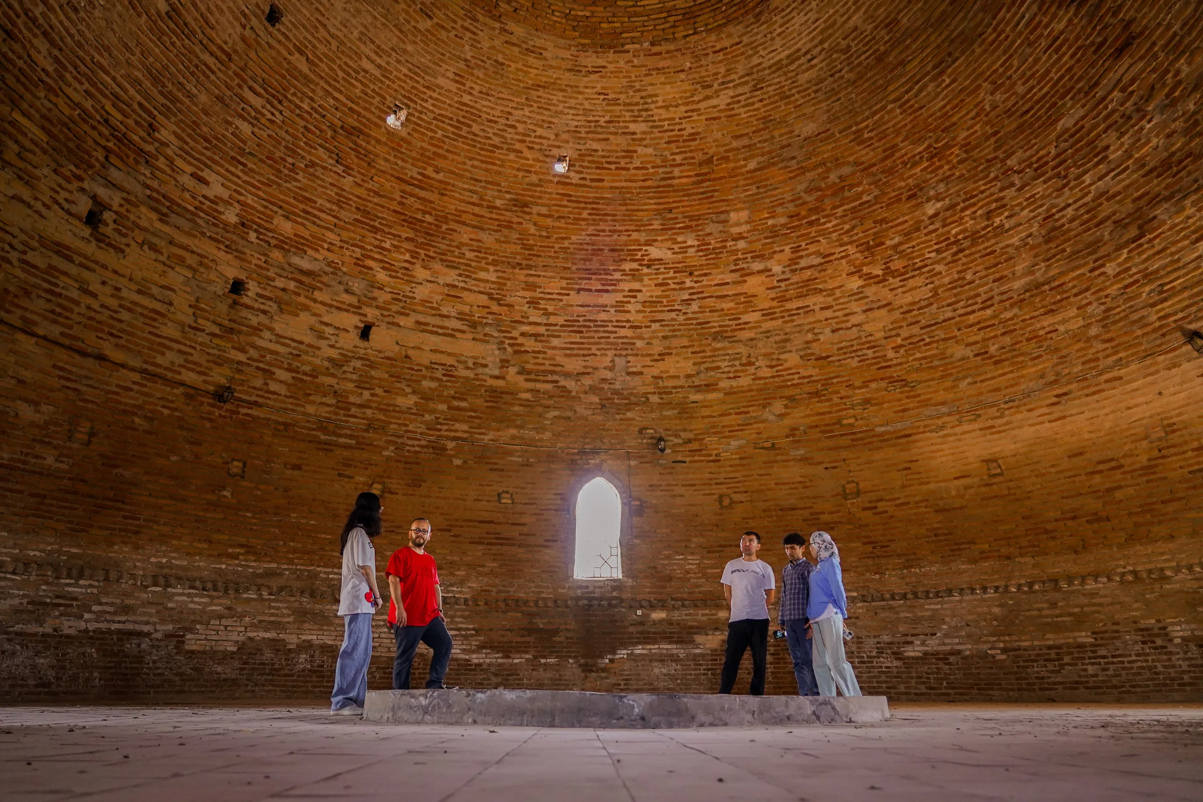
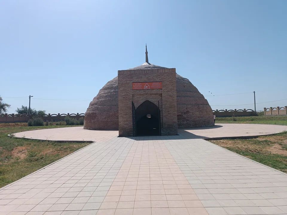
In antiquity the area belonged to the Kangju state and later to the principality of Ustrushana, which Chinese chronicles and Arab geographers described as stretching from Khujand to Samarkand. Ancient settlements such as Eski Khovos grew up along the streams in the south. The steppe itself stayed waterless for centuries: Shahrukh and Ulugh Beg tried to bring a canal from the Syr Darya in the 15th century, and Abdullah Khan II built domed cisterns along the caravan road in the 16th.
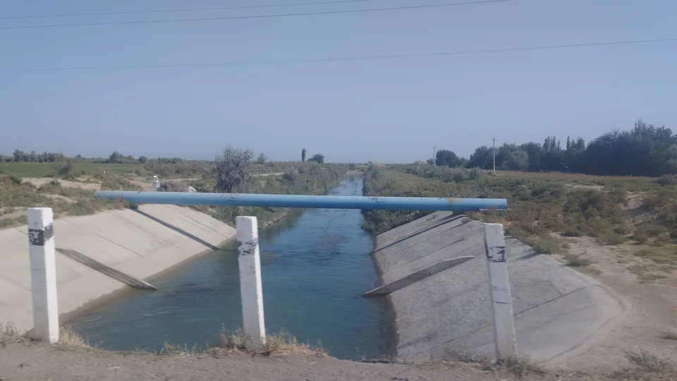
Large-scale reclamation began in the late 19th century: in 1895 a canal reached Mirzachul, the Samarkand–Tashkent railway was built, and in 1897 the first cotton was sown. The settlement by the station was called Golodnaya Step (Hungry Steppe), then Mirzachul from 1922 and Gulistan from 1961. The Farkhad hydropower station was built by mass volunteer labour in 1943–1948, and the 1950s–60s brought the South Hungry Steppe canal and the new towns of Yangiyer and Gulistan. The region was created on 16 February 1963, with Yangiyer as its first capital, replaced by Gulistan that November.
The region’s towns grew up almost entirely in the 20th century as the steppe was tamed. The capital, Gulistan (“land of flowers”), rose around the railway station on the site of Achchiqquduq, a hamlet of just 40 households in the 19th century; on the Ulkan Soylik mound within the city archaeologists found the grave of a 10th–12th-century Oghuz chieftain with his helmet, sword and arrowheads. Yangiyer (“new land”) was founded in 1957 where the Great Uzbek Highway crosses the South Hungry Steppe canal. Shirin began in 1943 as a settlement for the builders of the Farkhad station and became a town in 1972; its name is thought to come from the Shirinqiz stream that runs below the Farhad rock. The region also has the towns of Sirdaryo and Baxt.
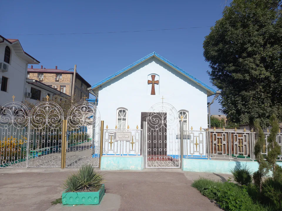
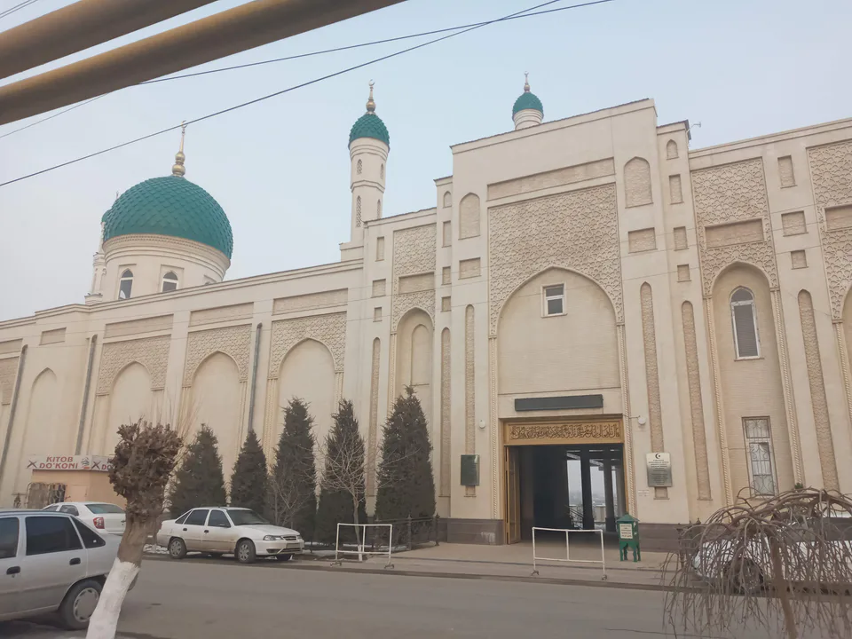
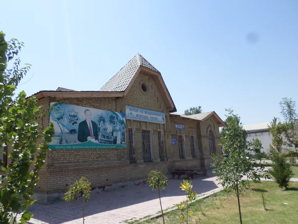
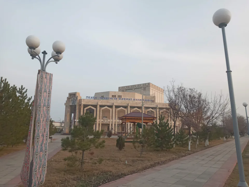
The region’s most striking historic monument is the 16th-century Ogʻoch Sardoba in Sardoba District. The Farkhad station near Shirin recalls the great wartime people’s construction, while the neighbouring Syrdarya power station is the largest in Central Asia. Gulistan has the regional museum of history and culture, the Alim Khojaev music and drama theatre, the St Nicholas Church of 1945 and the city’s main mosque. Nature lovers can explore the riverside woodlands of the Syr Darya and the steppe as it greens in spring.
Most people are Uzbeks, alongside Tajiks, Kazakhs, Kyrgyz, Russians and members of more than 70 other nationalities. This is one of the country’s main cotton regions, also growing wheat, vegetables, melons and lucerne, with well-developed livestock farming; for years its melons and onions were shipped to the Urals, Siberia and the Russian Far East. Industry centres on cotton ginning and power: the Syrdarya plant generates about a fifth of Uzbekistan’s electricity.
Gulistan is about 120 km south-west of Tashkent. The Tashkent–Samarkand railway and the Great Uzbek Highway (M39) cross the region, so trains and buses to Samarkand, Bukhara and the south stop here, and suburban electric trains run from Tashkent to Gulistan.
Modern · Shirin
Built by mass volunteer labour during the war
Nature · Sardoba District
From waterless steppe to cotton country
Nature · Sirdaryo District
The Jaxartes that named the region
Archaeology · Sardoba District
Cool water for caravans on the steppe
Temple & church · Gulistan
A mud-brick church built in wartime
Mosque · Gulistan
The city’s main mosque
Nature · Sardoba District
A new “sea” in the middle of the steppe
Modern · Shirin
Central Asia’s largest power plant
Culture & arts · Gulistan
The stage of the Hungry Steppe
Museum · Gulistan
The story of the Hungry Steppe under one roof
Syrdarya Region
Airport, railway station and bus stations — addresses, timetables and the live board.
All transportSyrdarya Region
Road distance, the fastest train and whether there is a direct flight.
All distancesWeather: MET Norway
Sirdaryo Region
Checked hotels and places to eat — with addresses, phone numbers, opening hours and price levels.
Modern hotel with a buffet breakfast
17-room guesthouse in south Gulistan
Hotel complex with a pool and restaurant
Budget mini-hotel in the centre
Hotel with spacious rooms in east Gulistan
Cosy small hotel in the centre
Hotel suited to longer stays
Basic hotel in south Gulistan
The regional capital's main city hotel
Hotel with spacious rooms north of town
Café-restaurant near the museum
Popular Uzbek café in Gulistan
Teahouse with terraces and private rooms
Café open from breakfast to midnight
Café-restaurant in south Gulistan
Uzbek restaurant in south-east Gulistan
Café known for its shashlik
Restaurant on Naberezhnaya Street
Yangiyer teahouse with an artificial waterfall
Restaurant with a fountain courtyard
Large café in Yangiyer
Homely Korean café
Sirdaryo Region
Khokimiyat, public service centre and other offices: addresses, phones, hours.
All offices (48)Khokimiyat
60 Islom Karimov St, Gulistan
Mon–Fri
Read morePublic Service Centre
Humo shopping centre, Mirzo Tursunzoda St, Yangi hayot mahalla, Gulistan
Read moreGulistan banking services office · Gulistan
8/1 Sahovat Avenue, Navbahor mahalla, Gulistan 120100
+998 55 503 49 49Syrdarya banking services centre · Gulistan
77A Khondamir Street, Gulistan 120100
+998 67 227 24 00Guliston district banking services centre · Guliston District
2 Ziyokor Street, Guliston district, Syrdarya Region
Gulistan banking services office · Gulistan
1E Xalqlar Dustligi Street, Namuna mahalla, Gulistan
+998 55 520 22 22Sirdaryo Region
Codes 120100–121000. The main code of each city and district:
All postcodes (75)Sirdaryo Region
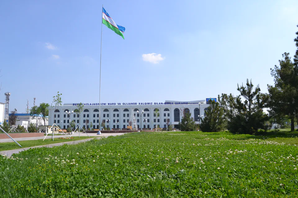
city · From “Hungry Steppe” to “land of flowers”
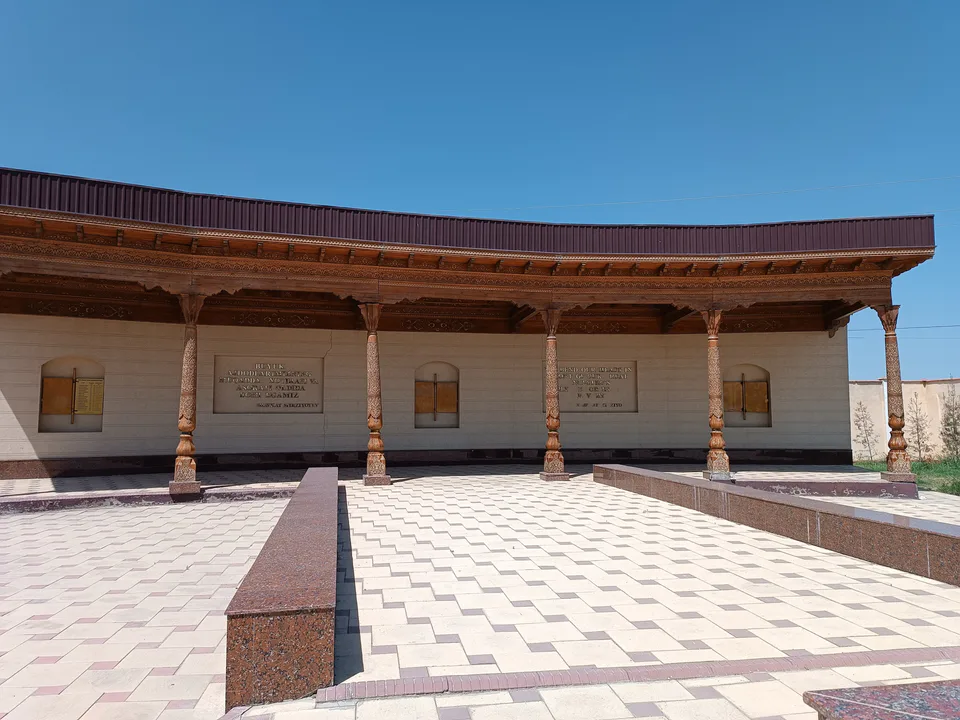
city · A town of power engineers
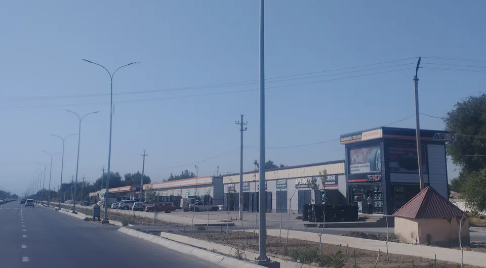
city · The region’s first capital
district · Where the Bekobod wind blows
district · The first Russian settlements of the Hungry Steppe
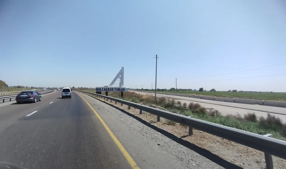
district · In the heart of the Hungry Steppe
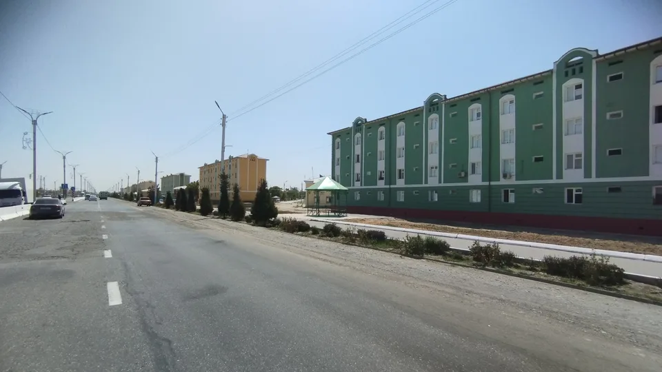
district · The western edge of the Hungry Steppe
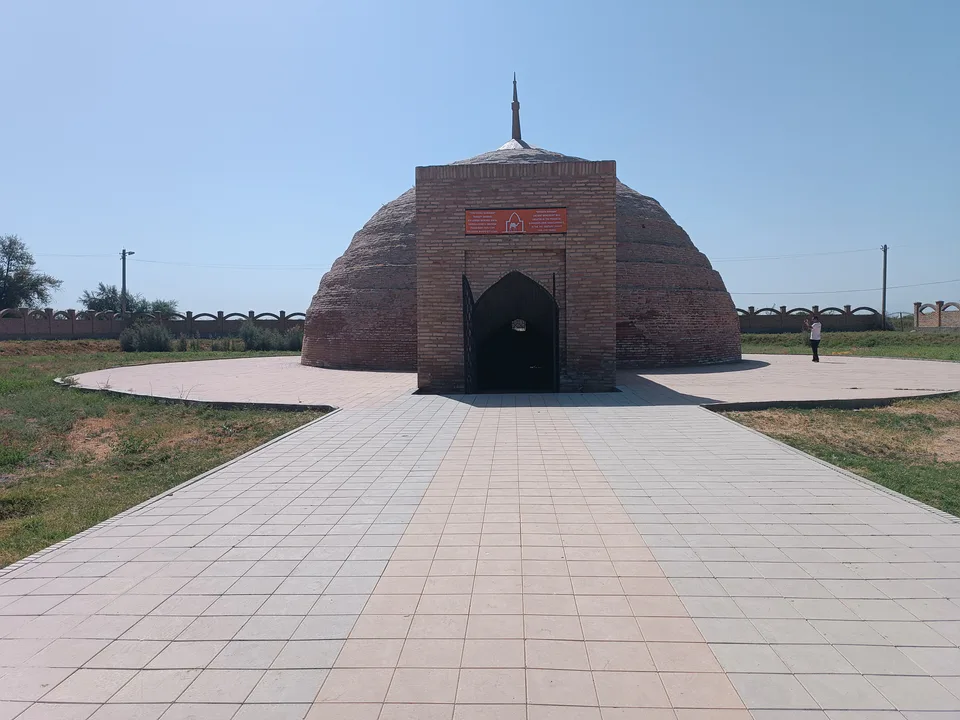
district · A district of cisterns and reservoirs
district · A district named after the Syr Darya’s old name
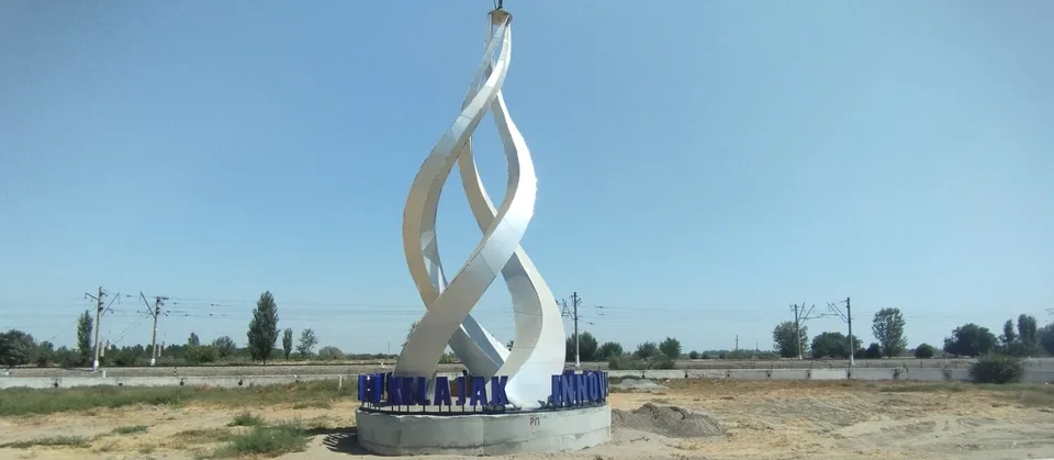
district · A railway junction by the river
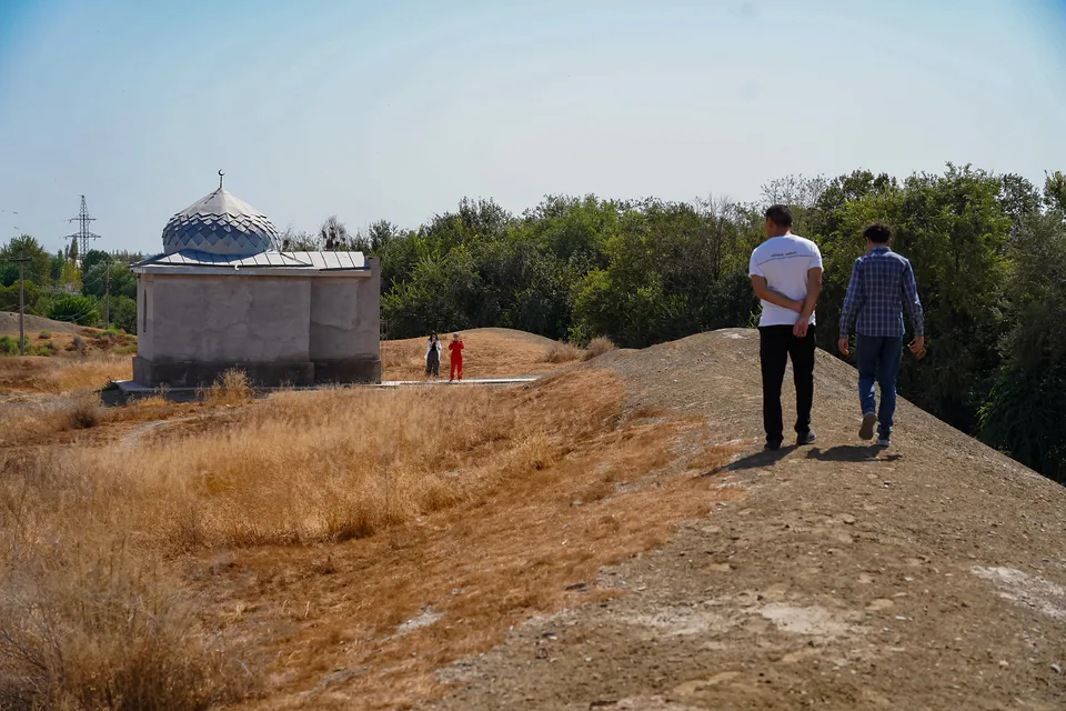
district · The Turkestan foothills and ancient Ustrushana