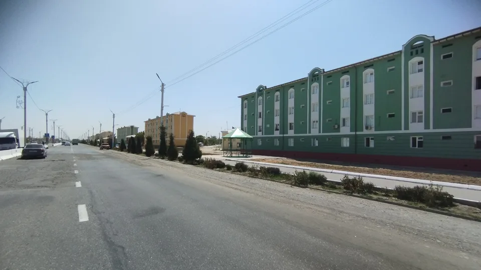
district · Sirdaryo Region
Oqoltin District
The least populous district of the region, on its western edge: cotton country lying entirely in the Hungry Steppe on the borders of Kazakhstan and Jizzakh Region.
Photo: Mirzoulugʻbek · CC0 · Wikimedia Commons
Setting and nature
Oqoltin District was created on 29 August 1971. It borders Kazakhstan to the north, Jizzakh Region to the north-west and south-west and Mirzaobod and Sardoba districts to the east. The flat land lies wholly in the Hungry Steppe; in places groundwater is close to the surface and salt flats are common, so open and covered drains have been built. The South Hungry Steppe and Central Branch canals irrigate the fields. Winters are cold with bitter winds, summers hot with occasional garmsel dust winds, and most rain falls in March–April.
Economy
The name echoes oq oltin, “white gold”, the popular term for cotton, and cotton indeed dominates, alongside grain, vegetables, melons and lucerne, with shelter belts planted against the hot winds. The centre is the township of Sardoba, not to be confused with neighbouring Sardoba District. The district had 57,500 people at the start of 2026.
Oqoltin District
Getting there
Airport, railway station and bus stations — addresses, timetables and the live board.
All transportGuliston Nearest point: Guliston, 39 km
11°clear sky
- 11° / 8°
- 2.1 m/s
- 62%
- Today11°8°
- Mon18°5°
- Tue21°6°
- Wed18°10°
- Thu18°9°
Weather: MET Norway
Oqoltin District
Government offices
Khokimiyat, public service centre and other offices: addresses, phones, hours.
All offices (3)Khokimiyat
Oqoltin District Khokimiyat
2 Begubor St, Yangi davr mahalla, Oqoltin District
Mon–Fri 9:00–18:00, lunch 13:00–14:00
Read morePublic Service Centre
Oqoltin District Public Services Centre
Taraqqiyot St, Korkam diyor mahalla, Oqoltin District
Read more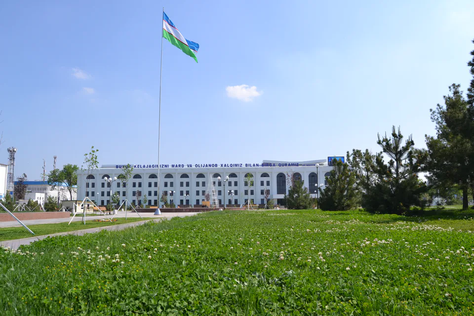
Gulistan
city · From “Hungry Steppe” to “land of flowers”
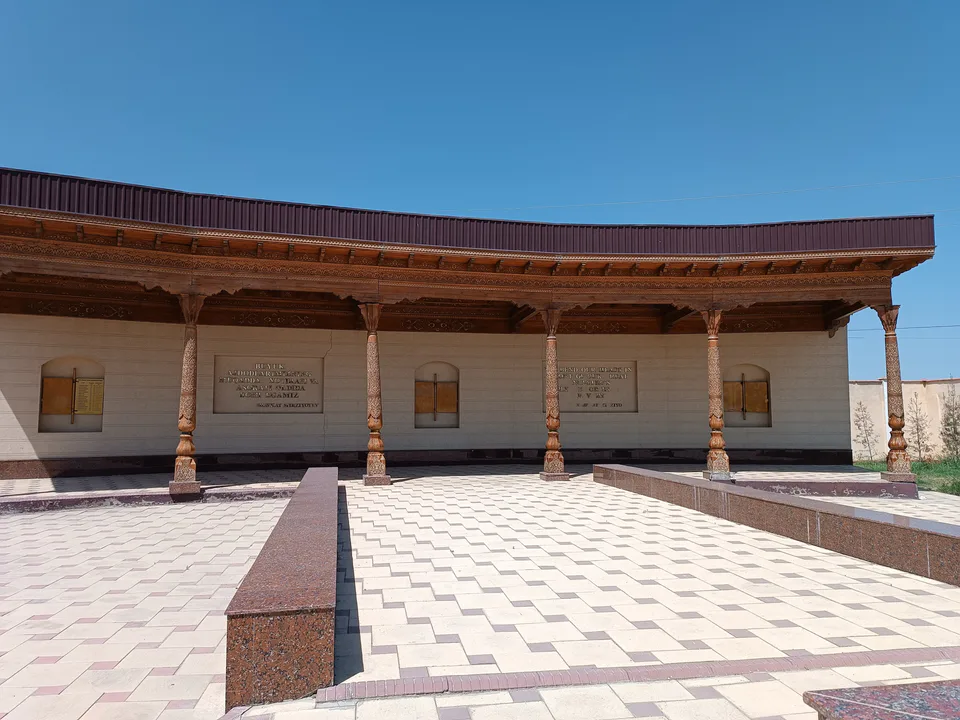
Shirin
city · A town of power engineers
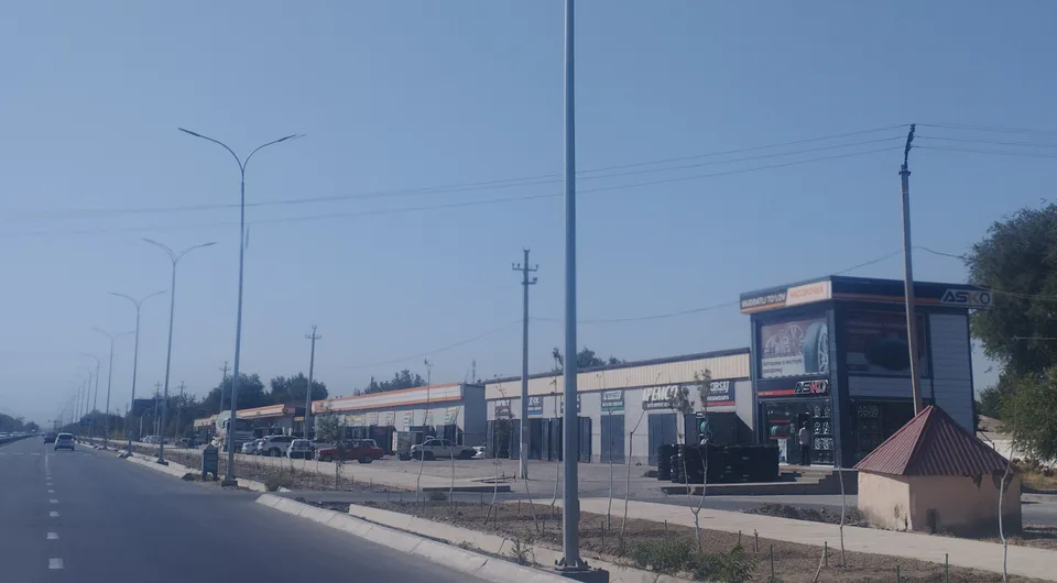
Yangiyer
city · The region’s first capital
Boyovut District
district · Where the Bekobod wind blows
Guliston District
district · The first Russian settlements of the Hungry Steppe
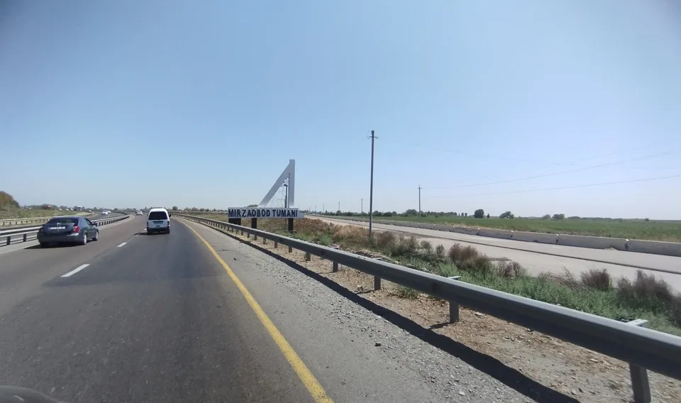
Mirzaobod District
district · In the heart of the Hungry Steppe
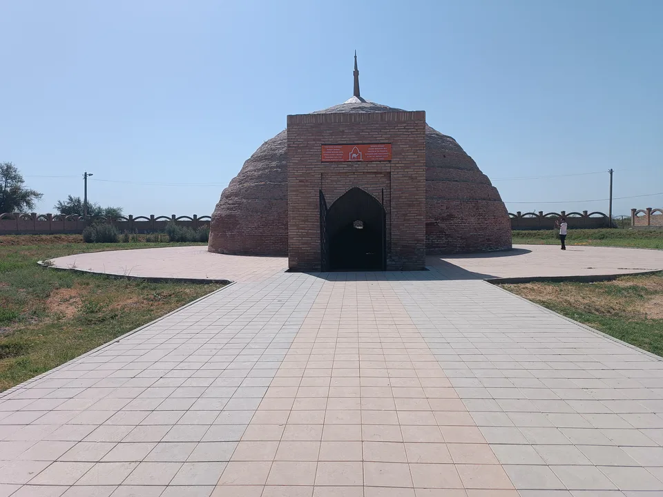
Sardoba District
district · A district of cisterns and reservoirs
Sayxunobod District
district · A district named after the Syr Darya’s old name
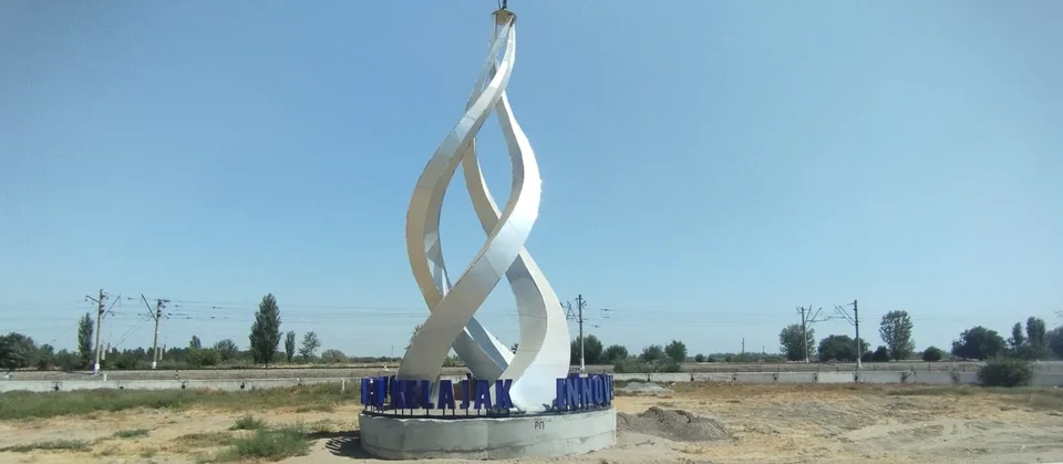
Sirdaryo District
district · A railway junction by the river
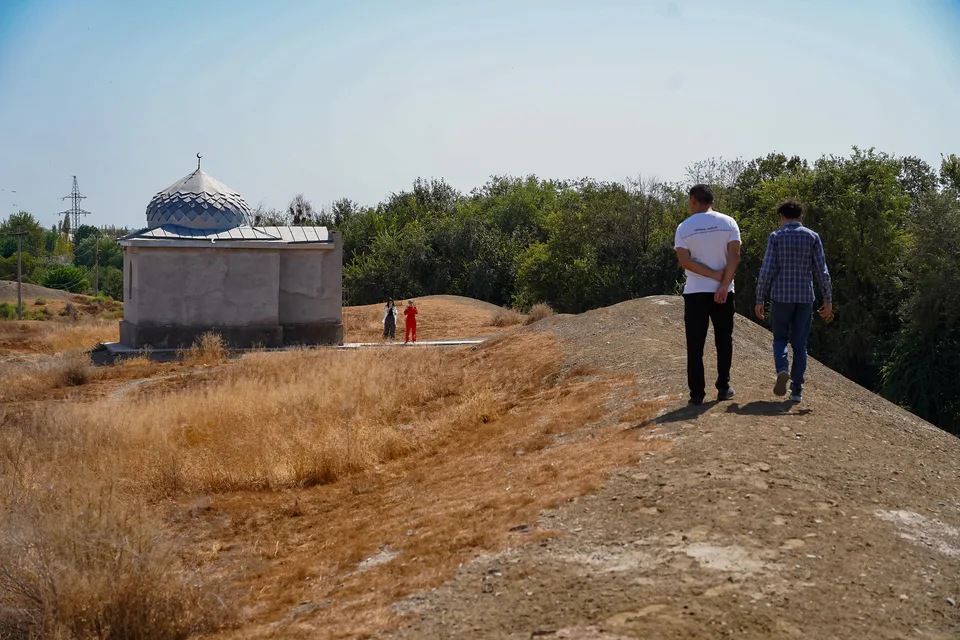
Xovos District
district · The Turkestan foothills and ancient Ustrushana