district · Sirdaryo Region
Boyovut District
The most populous district of the region, in its east: cotton and wheat fields in the south of the Hungry Steppe, the fierce Bekobod wind and Lake Sultonhovuz.
Setting and nature
Boyovut District was created on 19 April 1955 within Tashkent Region, merged into Yangiyer District in 1960 and restored in 1963 as part of Sirdaryo Region. It borders Bekobod District of Tashkent Region, Xovos, Guliston and Mirzaobod districts and Tajikistan. The land is an alluvial plain in the south of the Hungry Steppe, averaging 26–28 °C in July and −2 to −4 °C in January, with 200–300 mm of rain. The Bekobod wind is especially strong here, reaching 40 m/s.
Economy
The South Hungry Steppe and Dustlik canals water the fields, and cotton, grain, livestock and orchards are the mainstays; fish are caught in Lake Sultonhovuz. With 144,000 people at the start of 2026, Boyovut is the region’s most populous district.
Boyovut District
Getting there
Airport, railway station and bus stations — addresses, timetables and the live board.
All transportGuliston Nearest point: Guliston, 21 km
10°clear sky
- 10° / 8°
- 1.8 m/s
- 66%
- Today10°8°
- Mon18°5°
- Tue21°6°
- Wed18°10°
- Thu18°9°
Weather: MET Norway
Boyovut District
Government offices
Khokimiyat, public service centre and other offices: addresses, phones, hours.
All offices (3)Khokimiyat
Boyovut District Khokimiyat
5 Jayxun St, Ijodkor mahalla, Boyovut District
Mon–Fri 9:00–18:00, lunch 13:00–14:00
Read morePublic Service Centre
Boyovut District Public Services Centre
59 Qirgoqboyi St, Uchturgon mahalla, Boyovut District
Read moreBoyovut District
Postal codes
Codes of the post offices in this city or district.
All postcodes (13)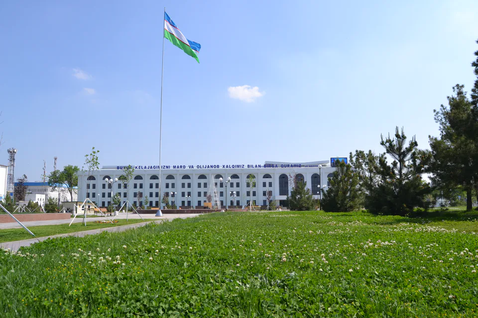
Gulistan
city · From “Hungry Steppe” to “land of flowers”
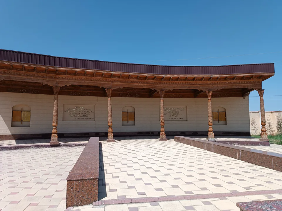
Shirin
city · A town of power engineers
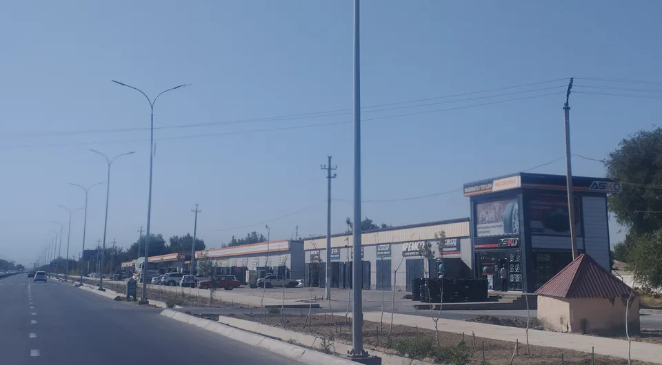
Yangiyer
city · The region’s first capital
Guliston District
district · The first Russian settlements of the Hungry Steppe
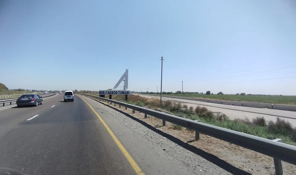
Mirzaobod District
district · In the heart of the Hungry Steppe
Oqoltin District
district · The western edge of the Hungry Steppe
Sardoba District
district · A district of cisterns and reservoirs
Sayxunobod District
district · A district named after the Syr Darya’s old name
Sirdaryo District
district · A railway junction by the river
Xovos District
district · The Turkestan foothills and ancient Ustrushana