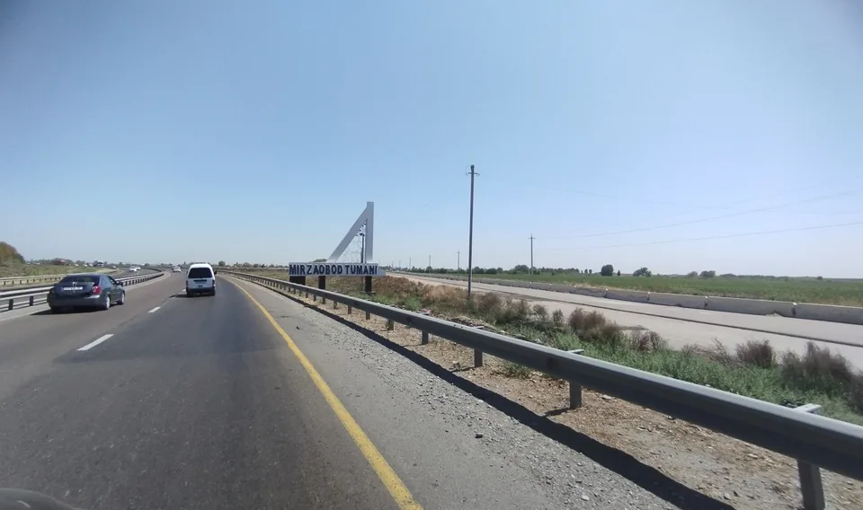
district · Sirdaryo Region
Mirzaobod District
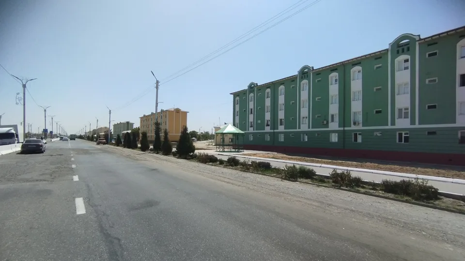
A young district in the middle of the Hungry Steppe plain: the former Komsomol District, with cotton and grain fields and its centre at Navroʻz.
Photo: Mirzoulugʻbek · CC0 · Wikimedia Commons
Setting and history
Mirzaobod District was created as Komsomol District and has been called Mirzaobod since 22 October 1992; sources disagree on its founding date, Russian ones giving 1977 and Uzbek ones 1988. It borders six other districts of the region and Kazakhstan. The land lies on the Hungry Steppe plain at about 250 m, with loess soils and saline groundwater; July averages 28 °C, January −2 to −4 °C, and rainfall is 200–300 mm.
Economy
Farming is the base of the economy, led by cotton, with grain, vegetables, melons, fruit, grapes and potatoes. Camelthorn, reeds and tamarisk grow along the ditches and drains, home to pheasants and ducks. The district centre is Navroʻz, and one neighbourhood still bears the name Mirzachul.
Mirzaobod District
Getting there
Airport, railway station and bus stations — addresses, timetables and the live board.
All transportGuliston Nearest point: Guliston, 14 km
10°clear sky
- 10° / 8°
- 1.8 m/s
- 66%
- Today10°8°
- Mon18°5°
- Tue21°6°
- Wed18°10°
- Thu18°9°
Weather: MET Norway
Mirzaobod District
Government offices
Khokimiyat, public service centre and other offices: addresses, phones, hours.
All offices (3)Khokimiyat
Mirzaobod District Khokimiyat
1 Mustaqillik St, Navroz mahalla, Mirzaobod District
Mon–Fri 9:00–18:00, lunch 13:00–14:00
Read morePublic Service Centre
Mirzaobod District Public Services Centre
Mustaqillik St, Navroz mahalla, Mirzaobod District
Read moreMirzaobod District
Postal codes
Codes of the post offices in this city or district.
All postcodes (7)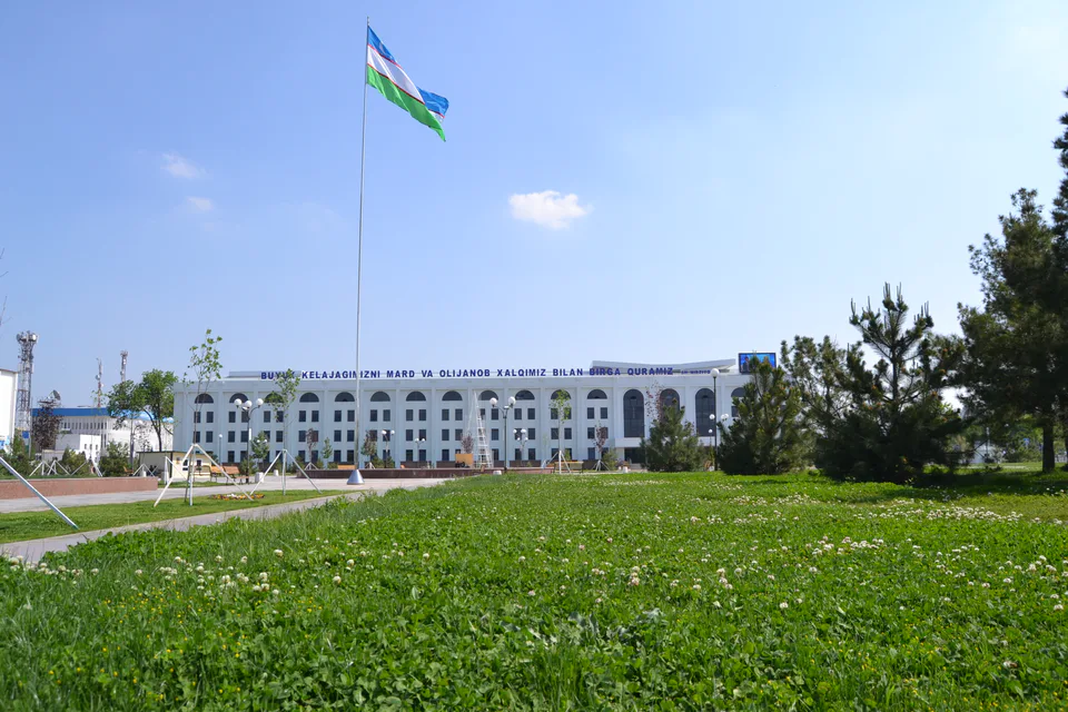
Gulistan
city · From “Hungry Steppe” to “land of flowers”
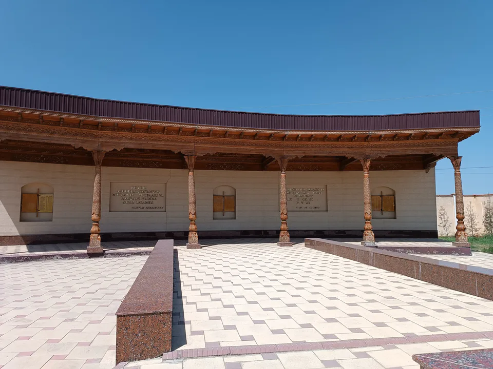
Shirin
city · A town of power engineers
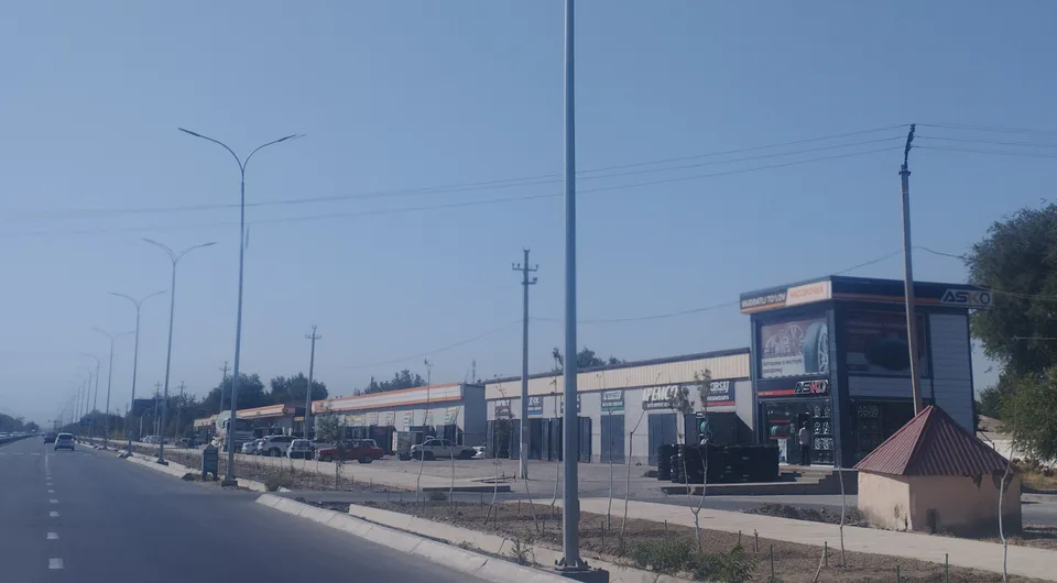
Yangiyer
city · The region’s first capital
Boyovut District
district · Where the Bekobod wind blows
Guliston District
district · The first Russian settlements of the Hungry Steppe
Oqoltin District
district · The western edge of the Hungry Steppe
Sardoba District
district · A district of cisterns and reservoirs
Sayxunobod District
district · A district named after the Syr Darya’s old name
Sirdaryo District
district · A railway junction by the river
Xovos District
district · The Turkestan foothills and ancient Ustrushana