Modern · Shirin
Farkhad Hydropower Station
Built by mass volunteer labour during the war
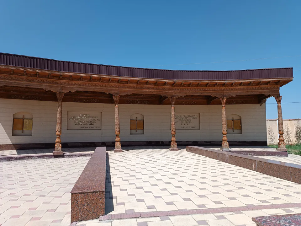
city · Sirdaryo Region
A small town beside the Farkhad hydropower station and the Syrdarya power plant, founded in 1943 for the dam builders and a town since 1972.
Shirin began in 1943 as a workers’ settlement for the builders of the Farkhad station, where some 5,000 Japanese prisoners of war also laboured between 1945 and 1956. When construction of the Syrdarya power plant began in the early 1970s, thousands of specialists arrived from across the Soviet Union and a modern town took shape, gaining town status in 1972. Its name probably comes from the Shirinqiz stream that flows beneath the Farhad rock west of town.
Shirin is a town of regional status, 52 km from Gulistan and 6 km from Farkhad railway station, at 328 m above sea level. Its life revolves around power: the Farkhad hydro station and Central Asia’s largest power plant, the Syrdarya thermal station, are here. Conditions are tough, with squally winds, sharp temperature swings and saline soil.
Shirin
Airport, railway station and bus stations — addresses, timetables and the live board.
All transportGuliston Nearest point: Guliston, 41 km
8°clear sky
Weather: MET Norway
Shirin
Khokimiyat, public service centre and other offices: addresses, phones, hours.
All offices (3)Khokimiyat
2 Buyuk Turon St, Shirin
Mon–Fri 9:00–18:00
Read morePublic Service Centre
1 Ibn Sino St, Shirin
Read more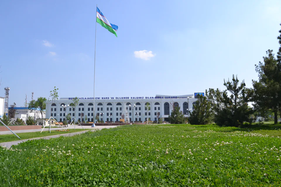
city · From “Hungry Steppe” to “land of flowers”
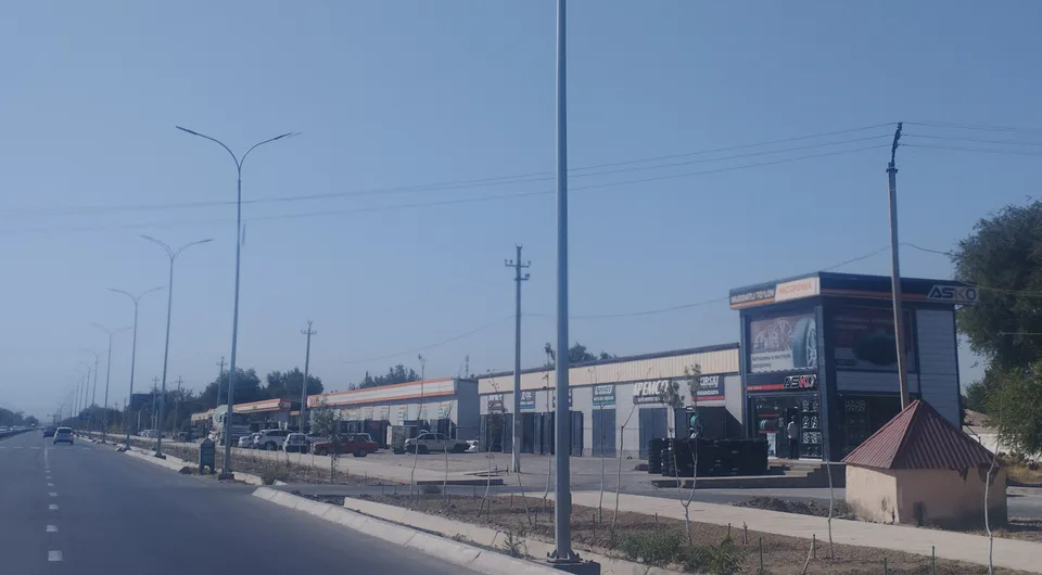
city · The region’s first capital
district · Where the Bekobod wind blows
district · The first Russian settlements of the Hungry Steppe
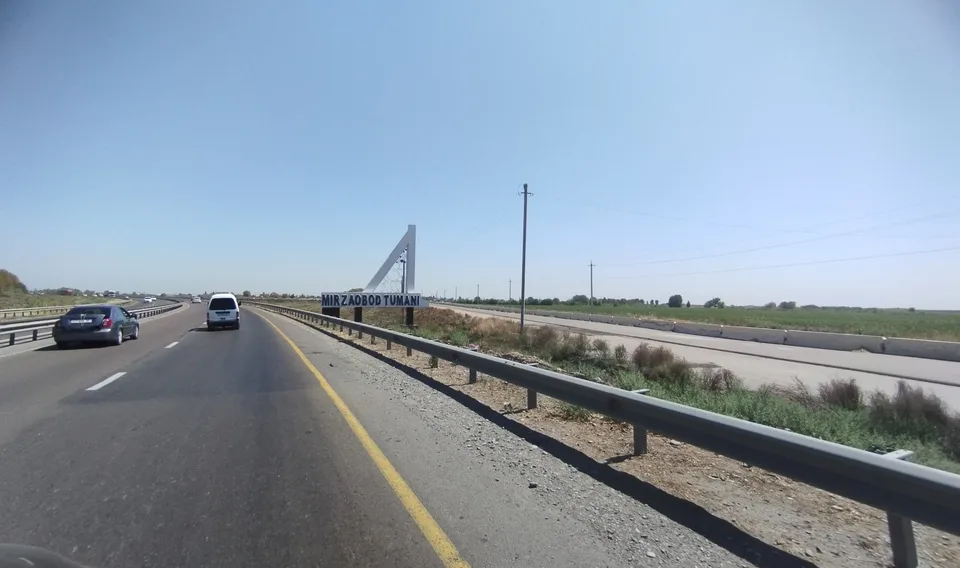
district · In the heart of the Hungry Steppe
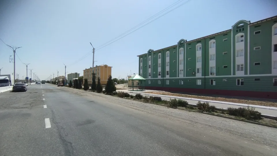
district · The western edge of the Hungry Steppe
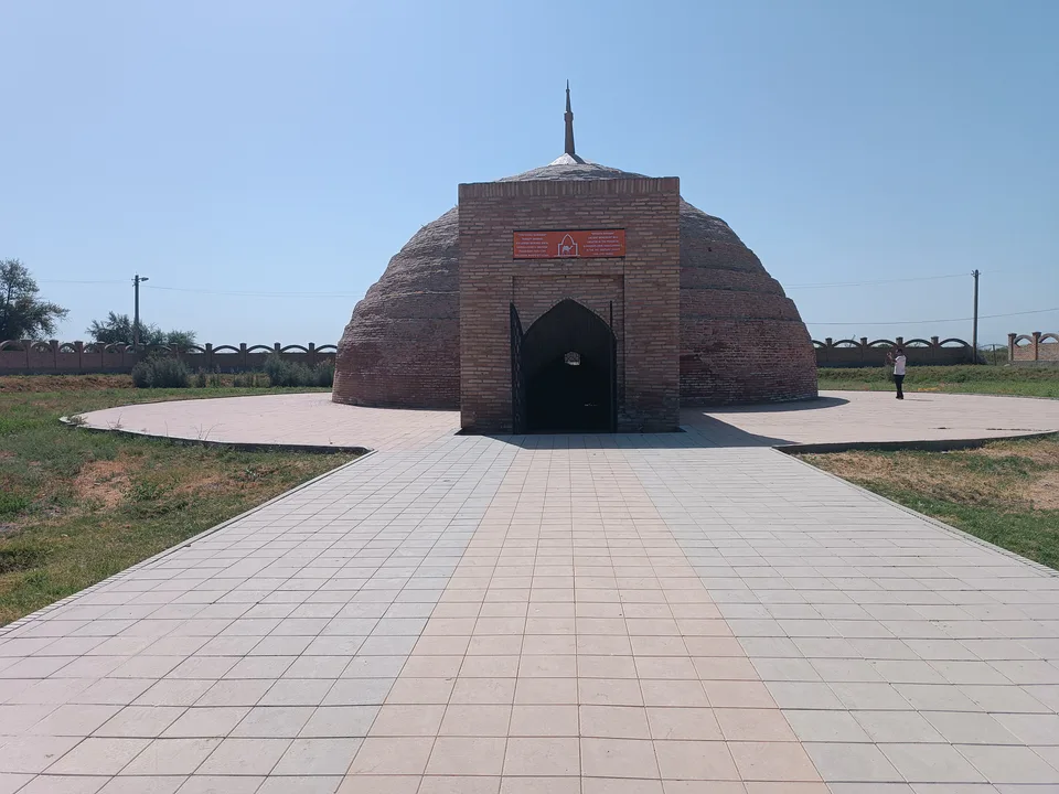
district · A district of cisterns and reservoirs
district · A district named after the Syr Darya’s old name
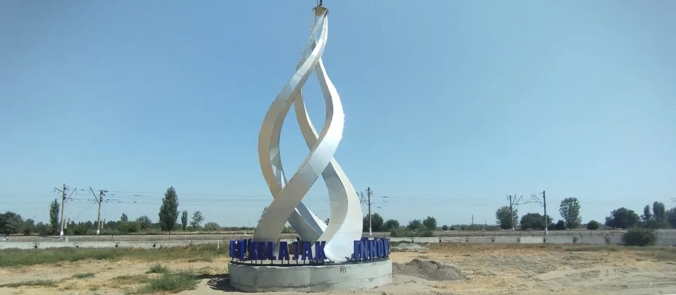
district · A railway junction by the river
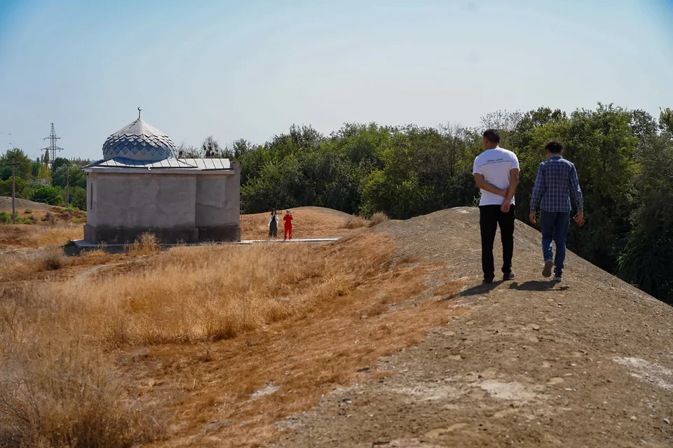
district · The Turkestan foothills and ancient Ustrushana