Nature · Sardoba District
Hungry Steppe (Mirzachul)
From waterless steppe to cotton country
district · Sirdaryo Region
A district in the middle of the Hungry Steppe, home to the 16th-century Ogʻoch Sardoba and the Sardoba Reservoir, whose dam failed in 2020.
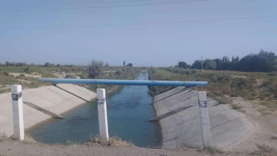
Sardoba District was created on 30 April 1964 as Ilyichevsk District, renamed after Sharof Rashidov in 1992 and called Sardoba since 24 May 2004. It lies on the flat central part of the Hungry Steppe, and thanks to its irrigation network and several artificial reservoirs it is one of the region’s main farming districts. January averages −3 to −5 °C and July–August 27–29 °C, with 140–250 mm of rain.
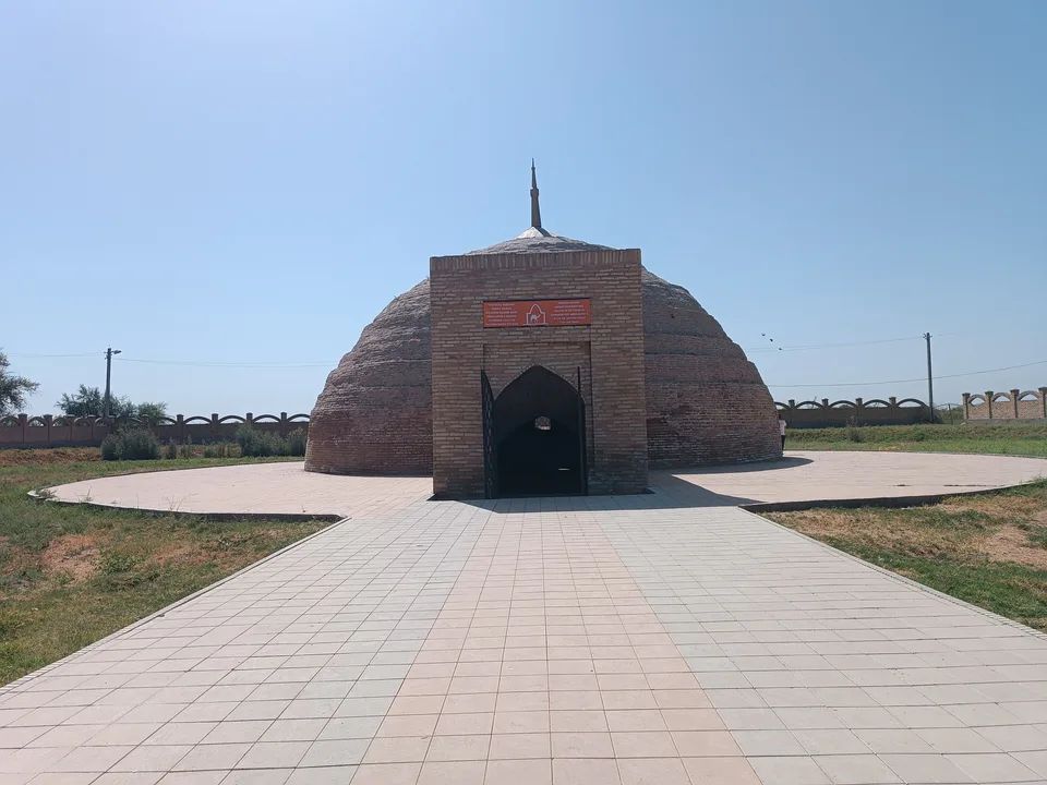
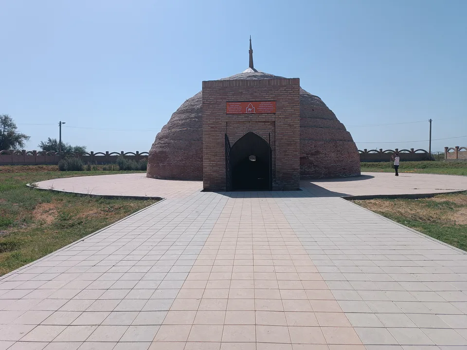
The Ogʻoch Sardoba that gave the district its name stands in Gumbaz village near the M39, built beside a caravan road under Abdullah Khan II in the 16th century. The dam of the Sardoba Reservoir, completed in 2017, failed on 1 May 2020, and the flood reached villages across the border in Kazakhstan’s Turkestan Region. The district centre is Paxtaobod.
Sardoba District
Sardoba District
Airport, railway station and bus stations — addresses, timetables and the live board.
All transportGuliston Nearest point: Guliston, 43 km
10°clear sky
Weather: MET Norway
Sardoba District
Khokimiyat, public service centre and other offices: addresses, phones, hours.
All offices (3)Khokimiyat
22 Dostlik St, Navroz mahalla, Sardoba District
Mon–Fri 9:00–18:00, lunch 13:00–14:00
Read morePublic Service Centre
21 Dostlik St, Navroz mahalla, Sardoba District
Read more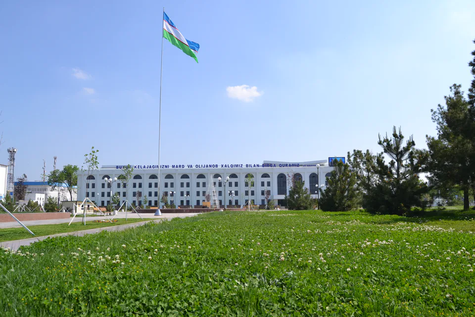
city · From “Hungry Steppe” to “land of flowers”
city · A town of power engineers
city · The region’s first capital
district · Where the Bekobod wind blows
district · The first Russian settlements of the Hungry Steppe
district · In the heart of the Hungry Steppe
district · The western edge of the Hungry Steppe
district · A district named after the Syr Darya’s old name
district · A railway junction by the river
district · The Turkestan foothills and ancient Ustrushana