district · Sirdaryo Region
Sayxunobod District
A district on the eastern Hungry Steppe beside the Syr Darya, whose name recalls the river’s medieval name, Sayhun, with small lakes such as Qolgansir in its hollows.
History and setting
The district was created in 1952 as Verkhnevolynskoye District, divided between Sirdaryo and Guliston districts in 1959, re-formed on 7 December 1970 as Voroshilov District and named Sayxunobod in 1984, after Sayhun, the name Muslim writers gave the Syr Darya. It borders Quyichirchiq, Oqqoʻrgʻon and Boʻka districts of Tashkent Region and Sirdaryo and Guliston districts, with the Syr Darya forming its eastern edge.
Nature and economy
The land is a low plain with saline groundwater and small lakes such as Shorkol, Qolgansir and Korkol in the hollows; the Right Branch canal runs 31 km through it. Summer temperatures reach 35 °C and rainfall is 200–250 mm a year. Cotton is the mainstay, along with grain, vegetables and melons, and the Great Uzbek Highway crosses the district.
Sayxunobod District
Getting there
Airport, railway station and bus stations — addresses, timetables and the live board.
All transportGuliston Nearest point: Guliston, 21 km
9°clear sky
- 9° / 8°
- 1.9 m/s
- 69%
- Today9°8°
- Mon18°5°
- Tue21°6°
- Wed18°10°
- Thu18°9°
Weather: MET Norway
Sayxunobod District
Government offices
Khokimiyat, public service centre and other offices: addresses, phones, hours.
All offices (3)Khokimiyat
Sayxunobod District Khokimiyat
2 A. Navoiy St, Sayxun
Mon–Fri 9:00–18:00
Read morePublic Service Centre
Sayxunobod District Public Services Centre
Ravonlik St, Sayxunobod District
Read moreSayxunobod District
Postal codes
Codes of the post offices in this city or district.
All postcodes (9)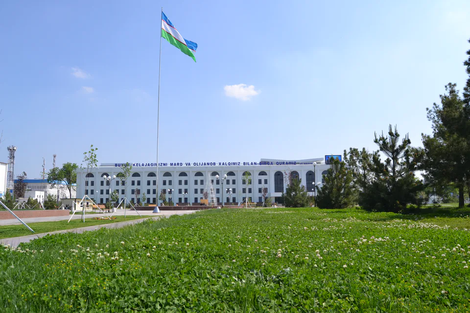
Gulistan
city · From “Hungry Steppe” to “land of flowers”
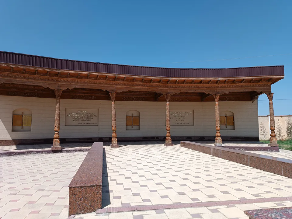
Shirin
city · A town of power engineers
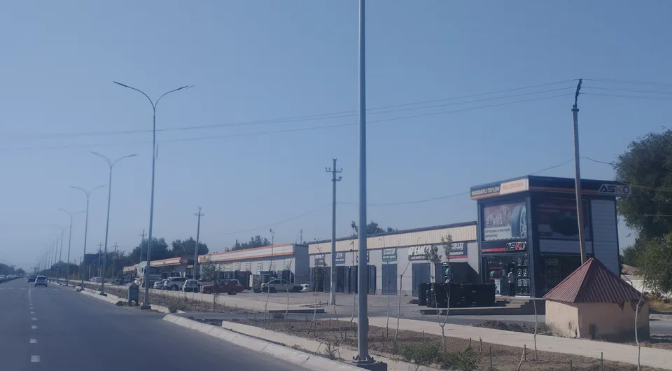
Yangiyer
city · The region’s first capital
Boyovut District
district · Where the Bekobod wind blows
Guliston District
district · The first Russian settlements of the Hungry Steppe
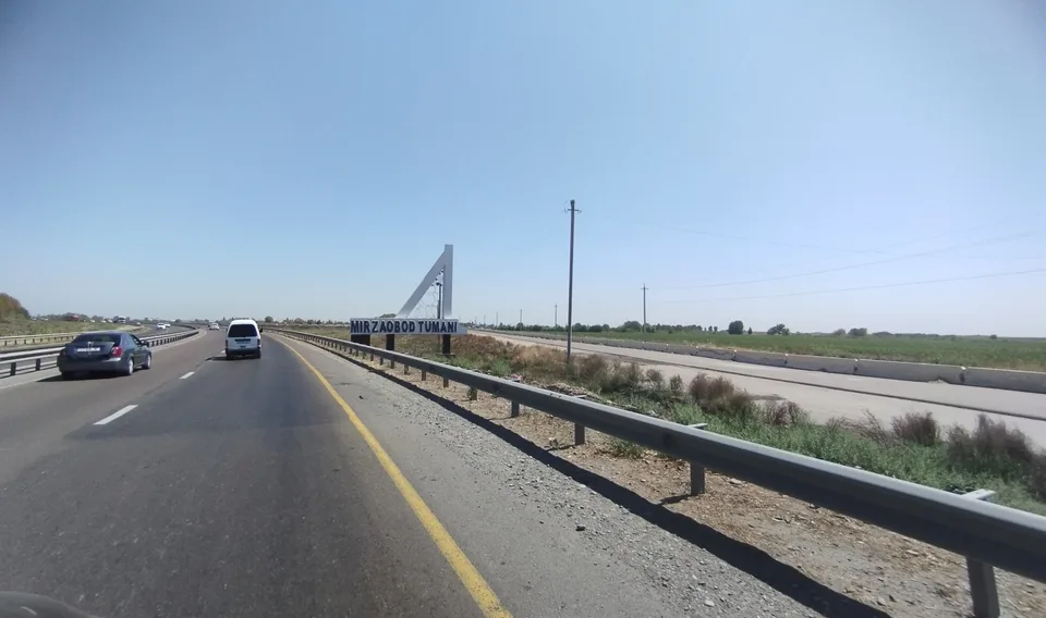
Mirzaobod District
district · In the heart of the Hungry Steppe
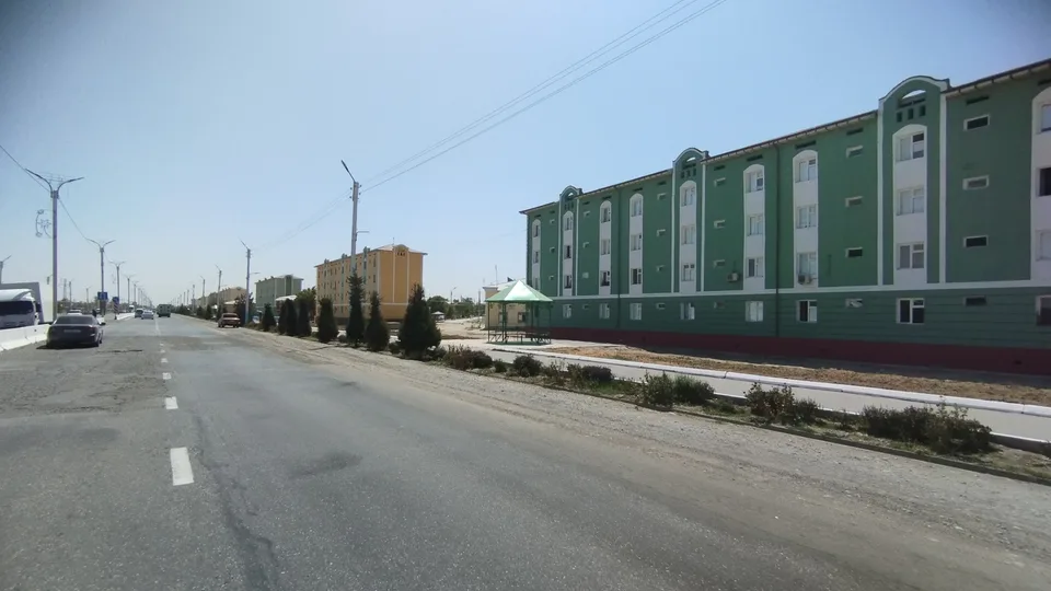
Oqoltin District
district · The western edge of the Hungry Steppe
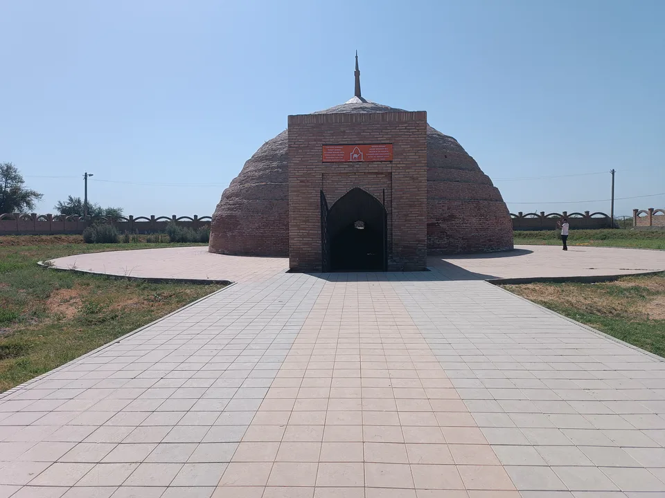
Sardoba District
district · A district of cisterns and reservoirs
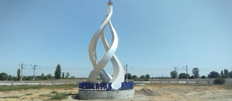
Sirdaryo District
district · A railway junction by the river
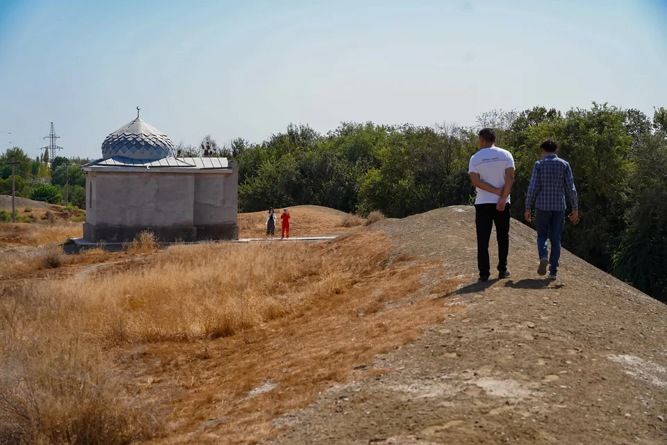
Xovos District
district · The Turkestan foothills and ancient Ustrushana