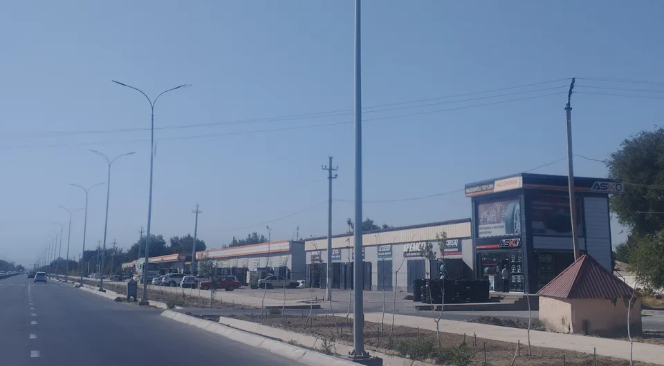
city · Sirdaryo Region
Yangiyer
A town founded in 1957 during the reclamation of the Hungry Steppe, briefly the capital of Sirdaryo Region in 1963.
Photo: Mirzoulugʻbek · CC BY-SA 4.0 · Wikimedia Commons
History
Yangiyer, “new land”, was founded in 1957 as the Hungry Steppe was being reclaimed. It stands where the Great Uzbek Highway (M39) crosses the South Hungry Steppe canal named after Sarkisov. When Sirdaryo Region was created on 16 February 1963, Yangiyer became its capital, but on 26 November that year the seat moved to Gulistan. The town had 42,000 people in 1979; the population fell in the 1990s, then grew again to over 50,000 by 2026.
Today
Yangiyer lies 150 km south-west of Tashkent and 30 km from Gulistan, with a station on the Tashkent–Khovos railway. Its factories make asphalt, ceramic pipes, flour, bread, dairy products and confectionery, and it has a park, a stadium and the Yangiyer football club.
Yangiyer
Getting there
Airport, railway station and bus stations — addresses, timetables and the live board.
All transportGuliston Nearest point: Guliston, 26 km
10°clear sky
- 10° / 8°
- 1.8 m/s
- 66%
- Today10°8°
- Mon18°5°
- Tue21°6°
- Wed18°10°
- Thu18°9°
Weather: MET Norway
Yangiyer
Where to stay and eat
Checked hotels and places to eat — with addresses, phone numbers, opening hours and price levels.
Yangiyer
Government offices
Khokimiyat, public service centre and other offices: addresses, phones, hours.
All offices (3)Khokimiyat
Yangiyer City Khokimiyat
16 Yangi asr St, Yangiyer
Mon–Fri 9:00–18:00
Read morePublic Service Centre
Yangiyer City Public Services Centre
18 A. Navoiy St, Yangiyer
Read more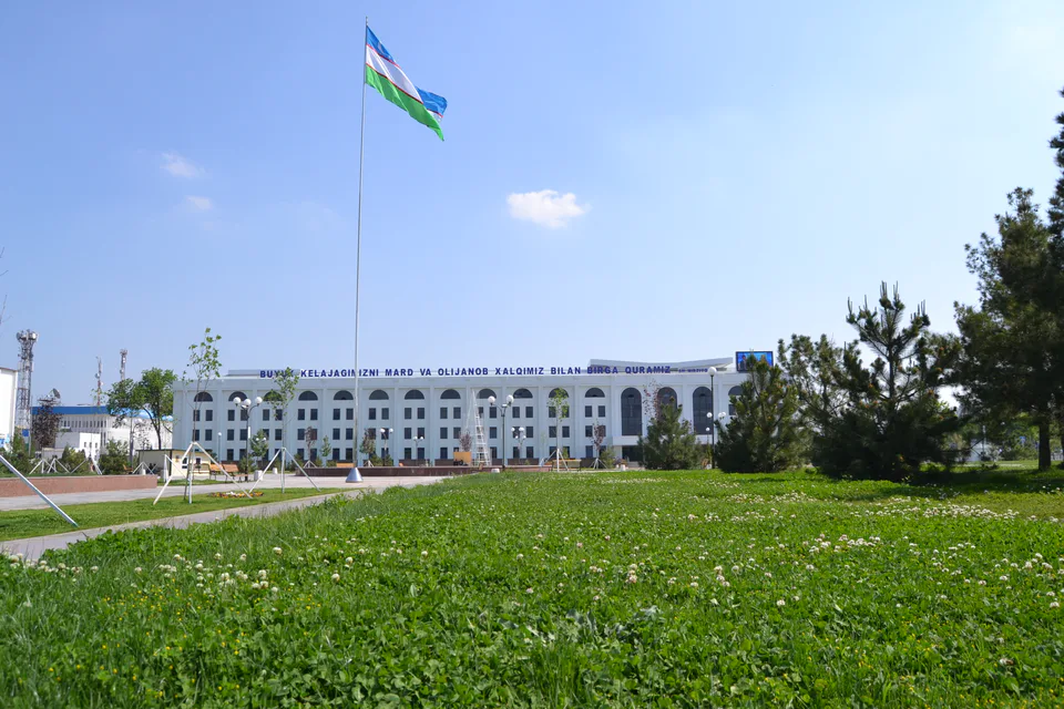
Gulistan
city · From “Hungry Steppe” to “land of flowers”
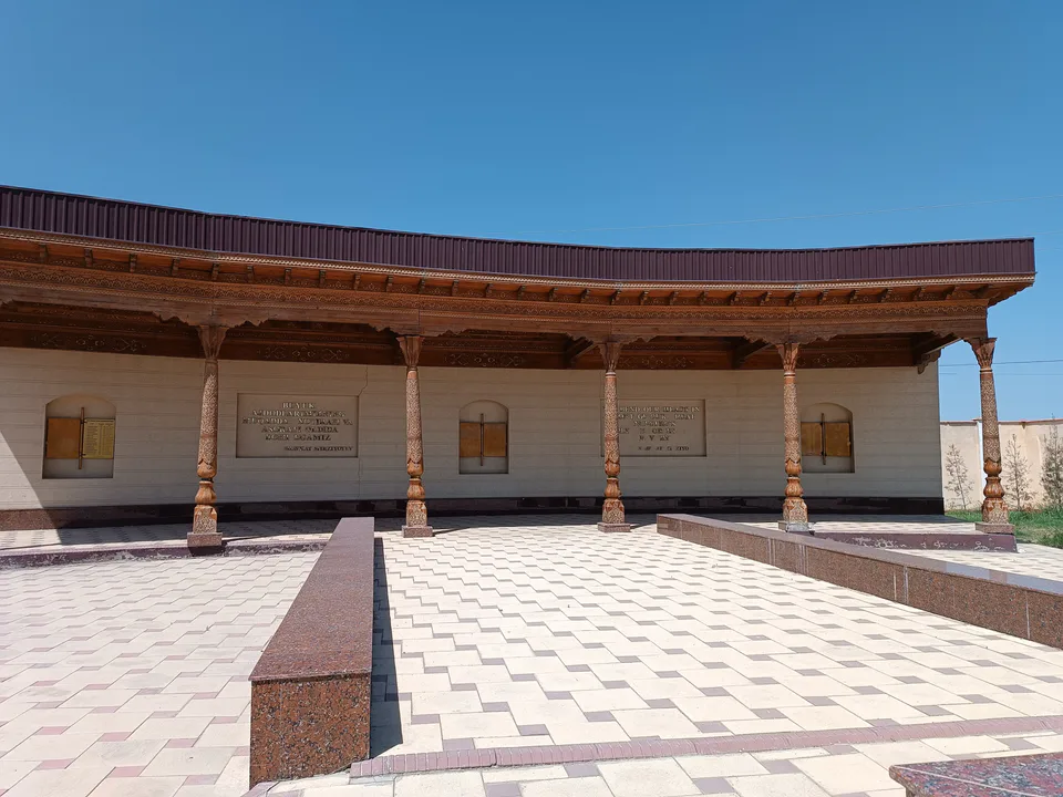
Shirin
city · A town of power engineers
Boyovut District
district · Where the Bekobod wind blows
Guliston District
district · The first Russian settlements of the Hungry Steppe
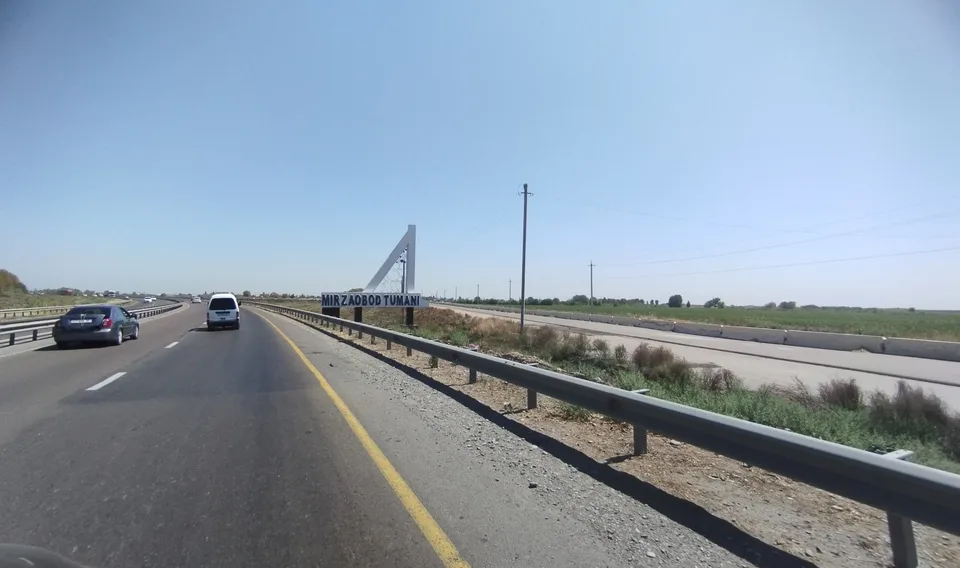
Mirzaobod District
district · In the heart of the Hungry Steppe
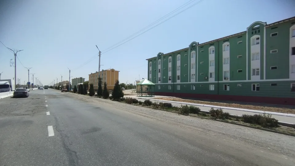
Oqoltin District
district · The western edge of the Hungry Steppe
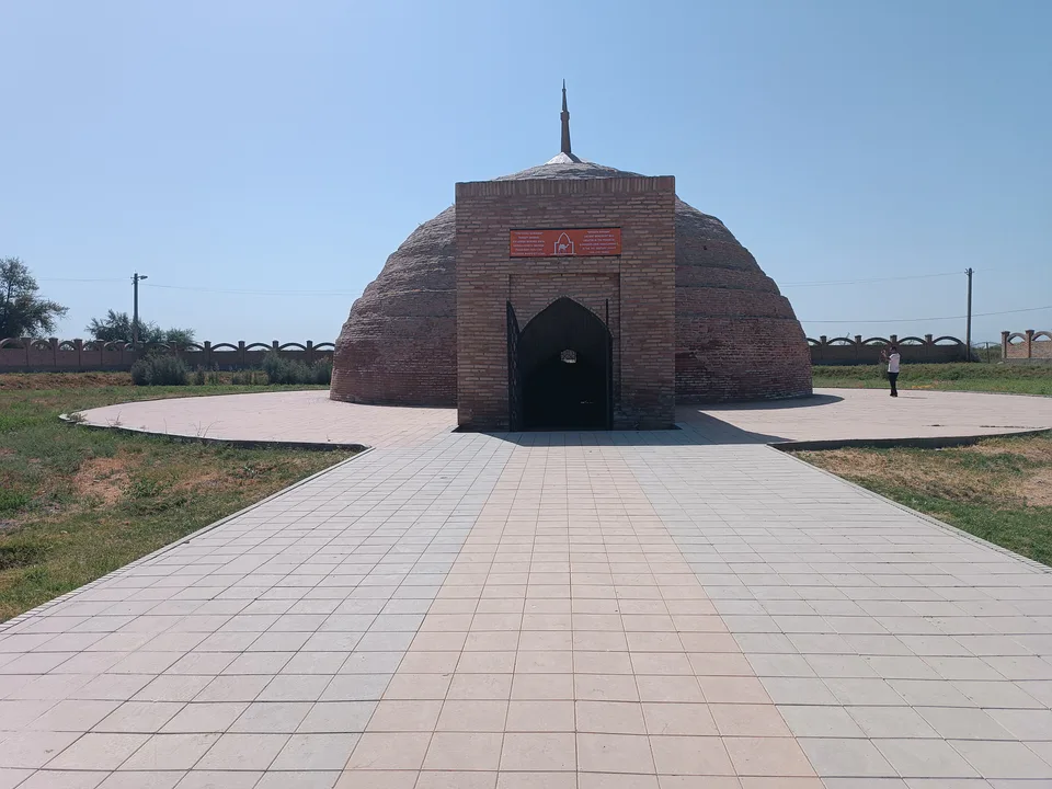
Sardoba District
district · A district of cisterns and reservoirs
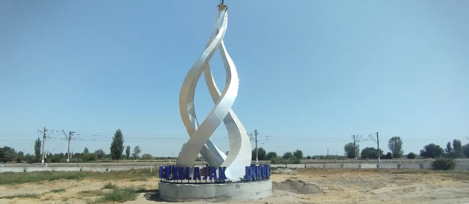
Sayxunobod District
district · A district named after the Syr Darya’s old name
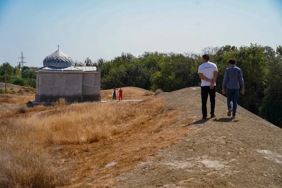
Sirdaryo District
district · A railway junction by the river
Xovos District
district · The Turkestan foothills and ancient Ustrushana