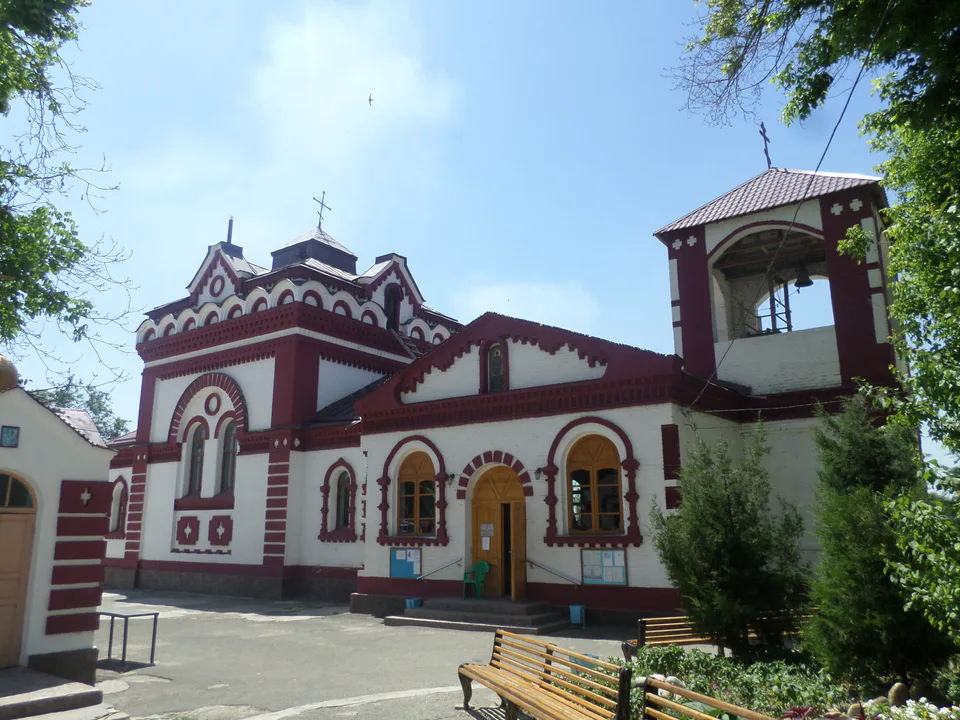
Temple & church · Chirchiq
Holy Trinity–St George Monastery
A church that local Muslims helped to build
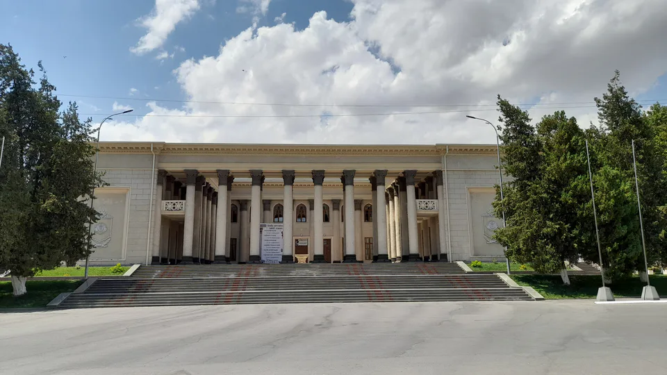
city · Tashkent Region
An industrial and university town on the Chirchiq River, founded in 1932 with an electrochemical plant and the gateway to Charvak and Chimgan.
Chirchiq stands on the right bank of the Chirchiq River on the slopes of the Karzhantau, at about 730 m and 30 km north-east of Tashkent. It was founded in 1932 on the site of three villages when a large electrochemical plant was built. The population grew fast, from 15,000 in 1939 to 107,000 in 1970. In the former village of Troitskoye, now part of the town, a late-19th-century church houses an Orthodox monastery.
Chirchiq makes mineral fertilisers, chemical machinery, transformers, hard alloys and refractory metals, and is home to Chirchiq State Pedagogical University and the Uzbek State University of Physical Culture and Sport. It sits at the junction of the Tashkent–Khojikent railway and the roads to the mountain resorts, so anyone heading for Charvak or Chimgan passes through.
Chirchiq
Airport, railway station and bus stations — addresses, timetables and the live board.
All transportChirchiq
Road distance, the fastest train and whether there is a direct flight.
All distances| City | Road, km | By car | By train | Flight | Bus |
|---|---|---|---|---|---|
| Tashkent Tashkent (city) |
35 | 42 min | — | — | — |
Tashkent Nearest point: Tashkent, 31 km
11°clear sky
Weather: MET Norway
Chirchiq
Checked hotels and places to eat — with addresses, phone numbers, opening hours and price levels.
Chirchiq
Khokimiyat, public service centre and other offices: addresses, phones, hours.
All offices (4)Khokimiyat
1 Amir Temur St, Chirchiq 111700
Mon–Fri 9:00–18:00, lunch 13:00–14:00
Read morePublic Service Centre
2A Yusupov St, Chirchiq
Read more
city · Uzbekistan’s coal capital
city · A steel town at the gateway of the Syr Darya
city · The region’s new capital
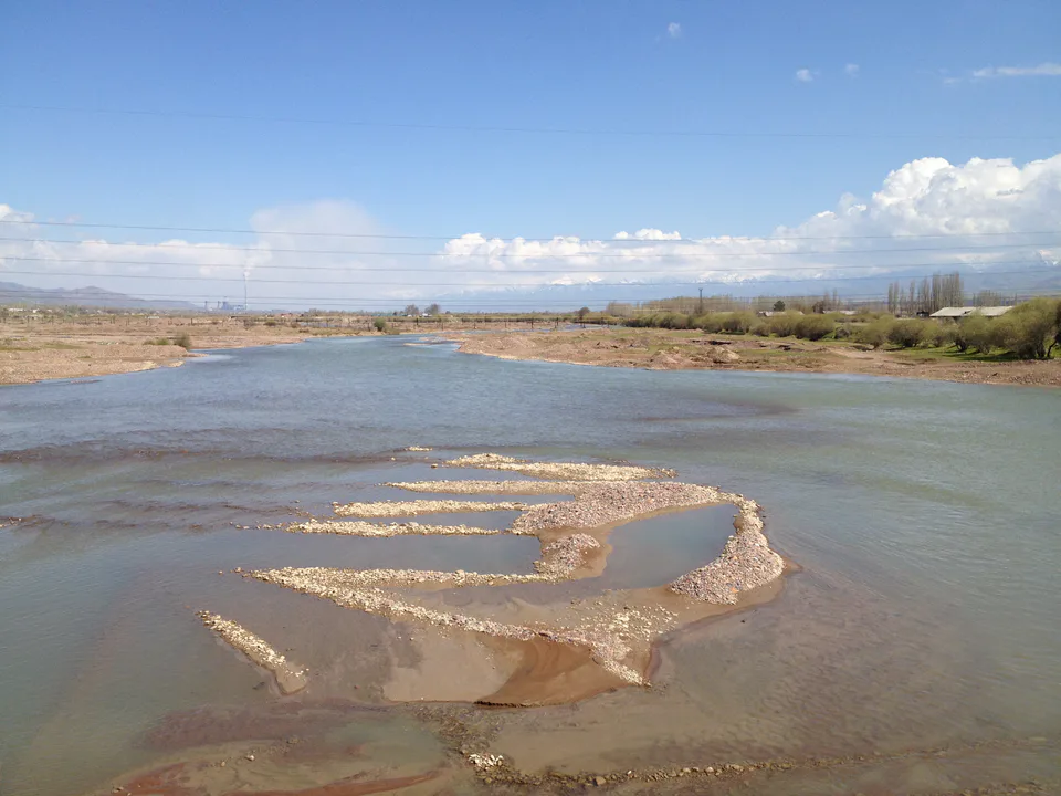
city · The town of the “blacksmiths”
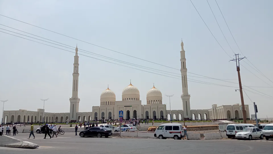
city · A town of copper and molybdenum
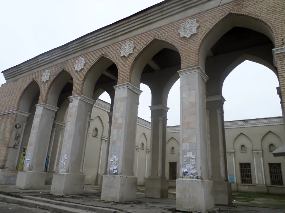
city · A “new road” on the highway
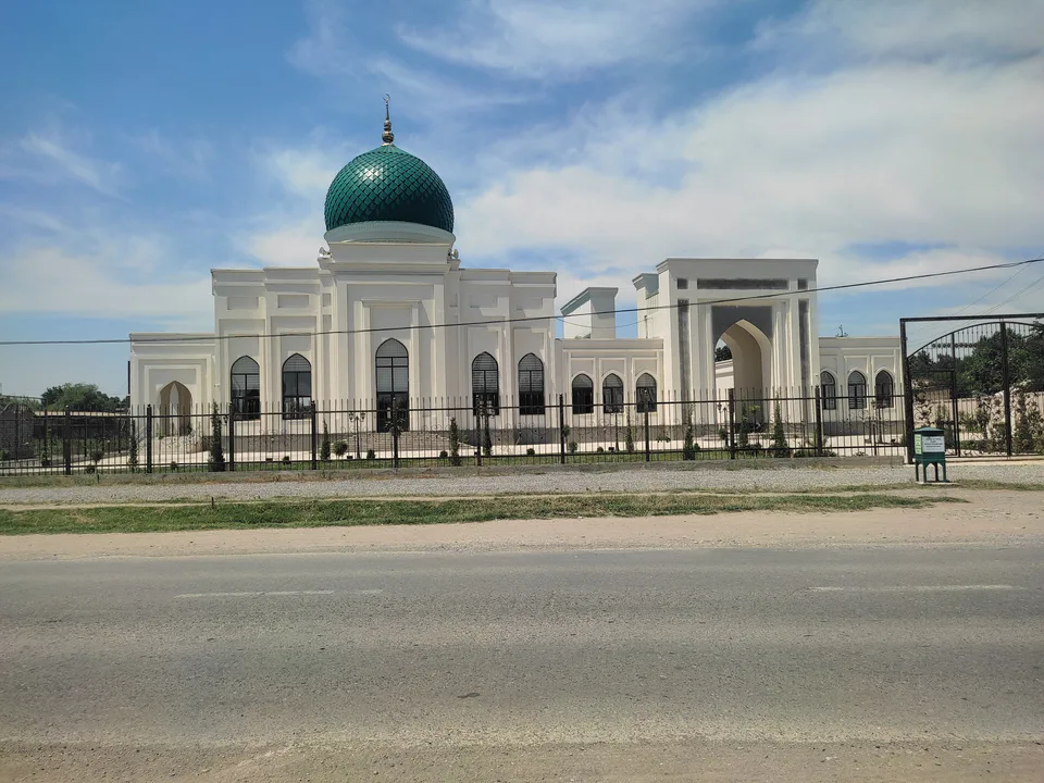
district · The Dalverzin steppe and the Syr Darya woodlands
district · Farm country below the Kurama Range
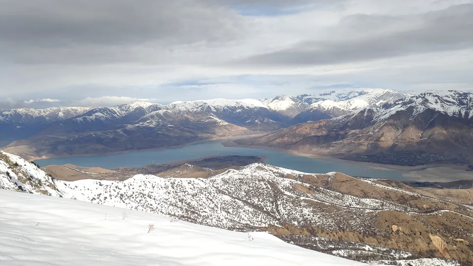
district · Uzbekistan’s mountain resort country
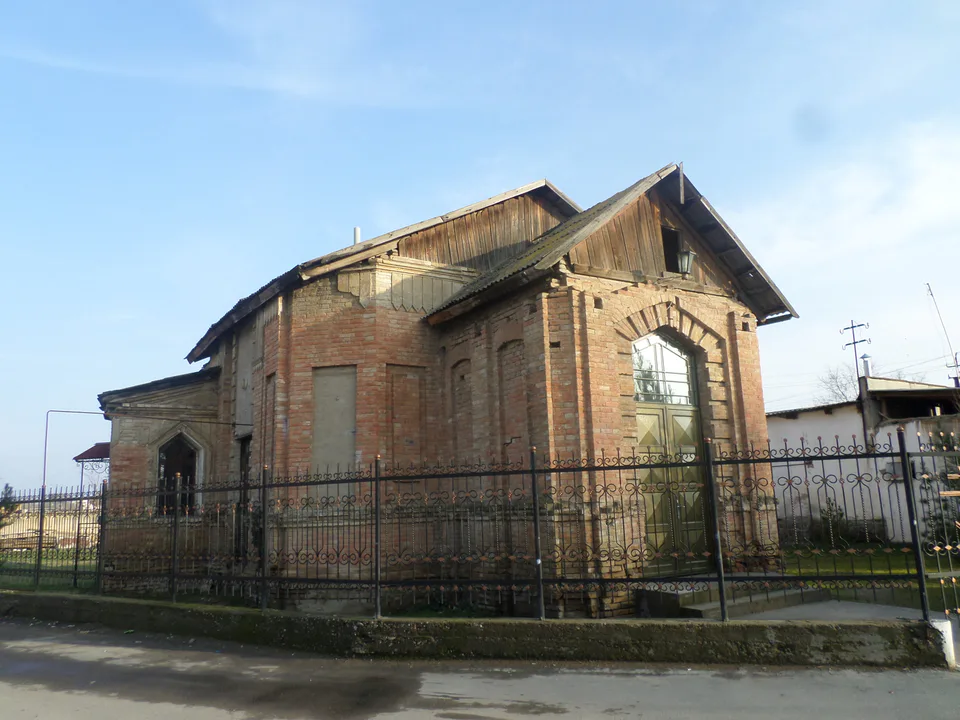
district · Where the Chirchiq meets the Syr Darya
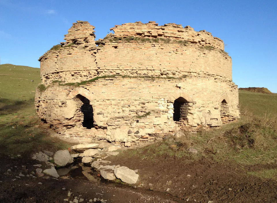
district · A valley of mines between the Chatkal and Kurama
district · The land of Chach’s first capital
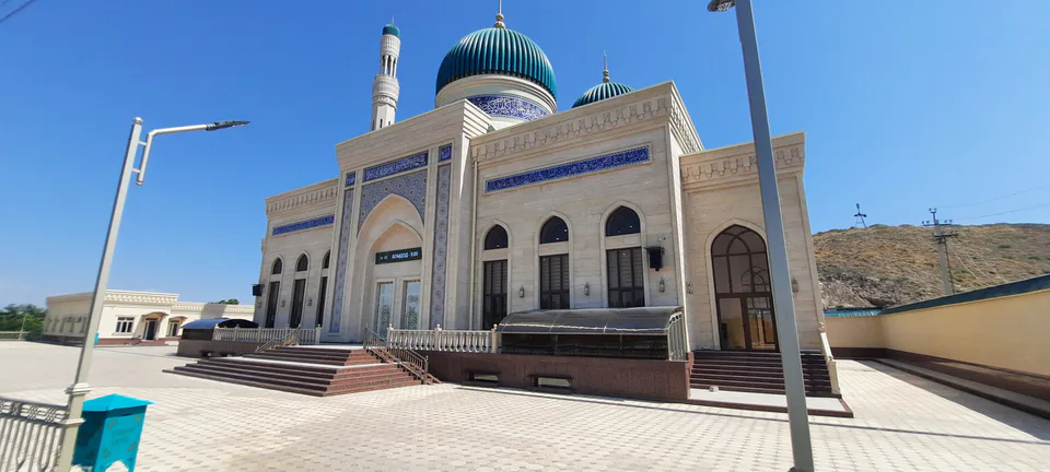
district · Home of the Korean Polar Star farm
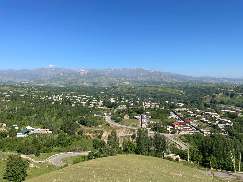
district · The solar furnace and the Chatkal foothills
district · A land of ancient canals below the Kurama
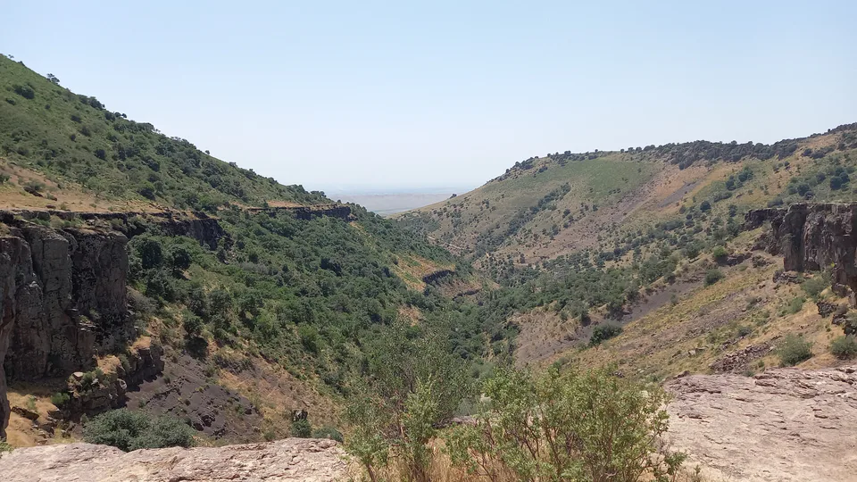
district · The capital’s north-eastern gateway
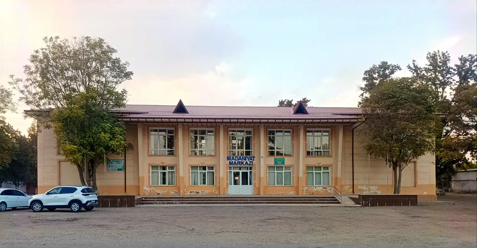
district · The lower Chirchiq and Akhangaran
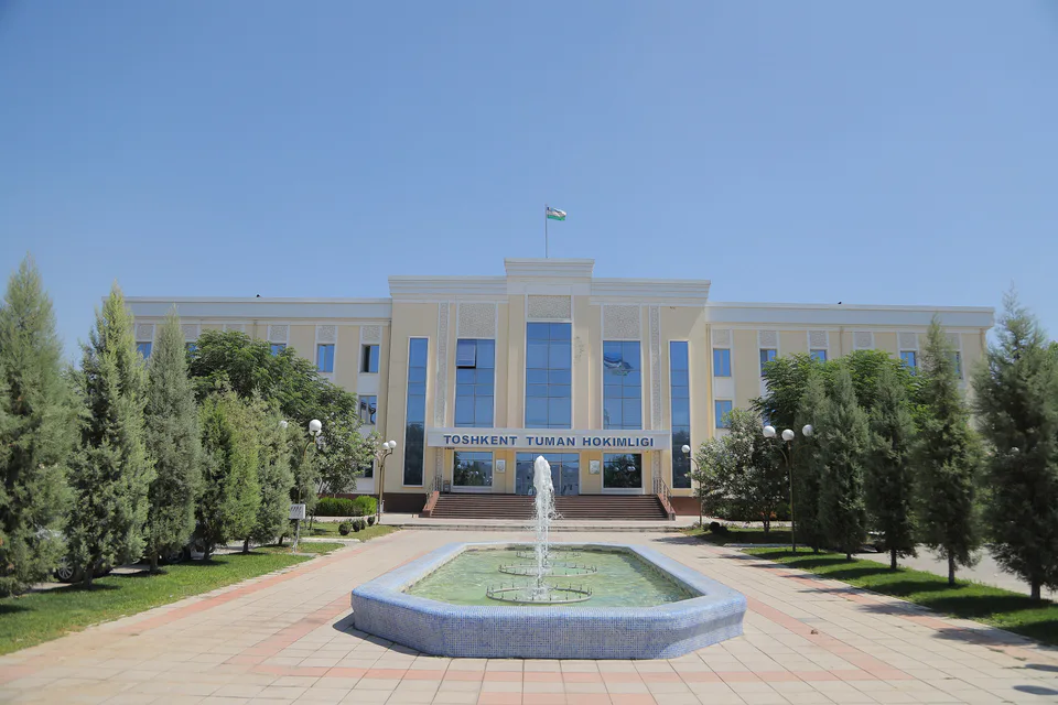
district · Between the capital and Kazakhstan
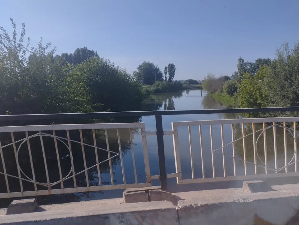
district · Orchards on the Chirchiq terraces
district · The Chirchiq bank below the Chatkal
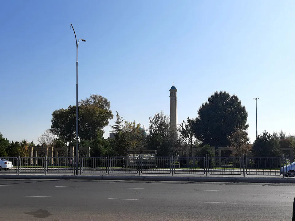
district · A district named after a sheikh