Modern · Angren
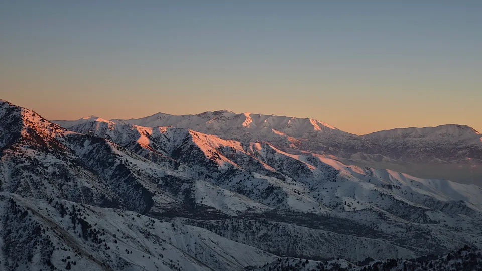
Yangiobod
A former closed town in the mountains
city · Tashkent Region
A mining town in the Akhangaran valley, founded in 1940 to work the coalfield; the road and railway to the Fergana Valley run through it.
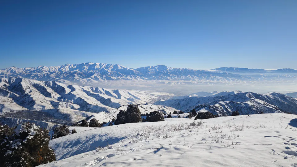
Angren lies on the right bank of the Akhangaran valley between the Chatkal and East Kurama ranges, some 78 km south-east of Tashkent (114 km by road). On 29 September 1940 the workers’ settlement of Angrenshakhtstroy was founded on the site of several villages, and on 13 June 1946 it became a town. Angren is made up of several separate districts strung along the valley.
Angren is the centre of the country’s coal industry, mining brown coal and running a plant that turns coal into gas underground. The Tashkent–Kokand highway and the Angren–Pap railway pass through, linking the three Fergana Valley regions with the rest of Uzbekistan. The mountain town of Yangiobod, known for its former uranium mines, is administered from Angren, and the Palaeolithic site of Kulbulak lies nearby. The surrounding mountains offer good walking.
Angren
Angren
Airport, railway station and bus stations — addresses, timetables and the live board.
All transportAngren
Road distance, the fastest train and whether there is a direct flight.
All distances| City | Road, km | By car | By train | Flight | Bus |
|---|---|---|---|---|---|
| Tashkent Tashkent (city) |
104 | 1 h 39 min | 1 h 23 min Oʻzbekiston 733Ф |
— | — |
| Kokand Fergana Region |
130 | 1 h 35 min | 2 h 38 min 130Ф |
— | — |
| Namangan Namangan Region |
181 | 2 h 12 min | 2 h 48 min Oʻzbekiston 734Ф |
2 flights | — |
| Fergana Fergana Region |
220 | 2 h 42 min | 3 h 34 min 130Ф |
3 flights | — |
Chimgan Nearest point: Chimgan, 52 km
4°clear sky
Weather: MET Norway
Angren
Checked hotels and places to eat — with addresses, phone numbers, opening hours and price levels.
Angren
Khokimiyat, public service centre and other offices: addresses, phones, hours.
All offices (4)Khokimiyat
2 Istiqlol St, Angren 110200
Read morePublic Service Centre
12 Istiqlol St, Angren
Read more
city · A steel town at the gateway of the Syr Darya
city · A chemical town at the foot of the mountains
city · The region’s new capital
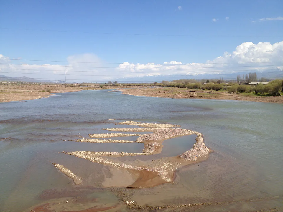
city · The town of the “blacksmiths”
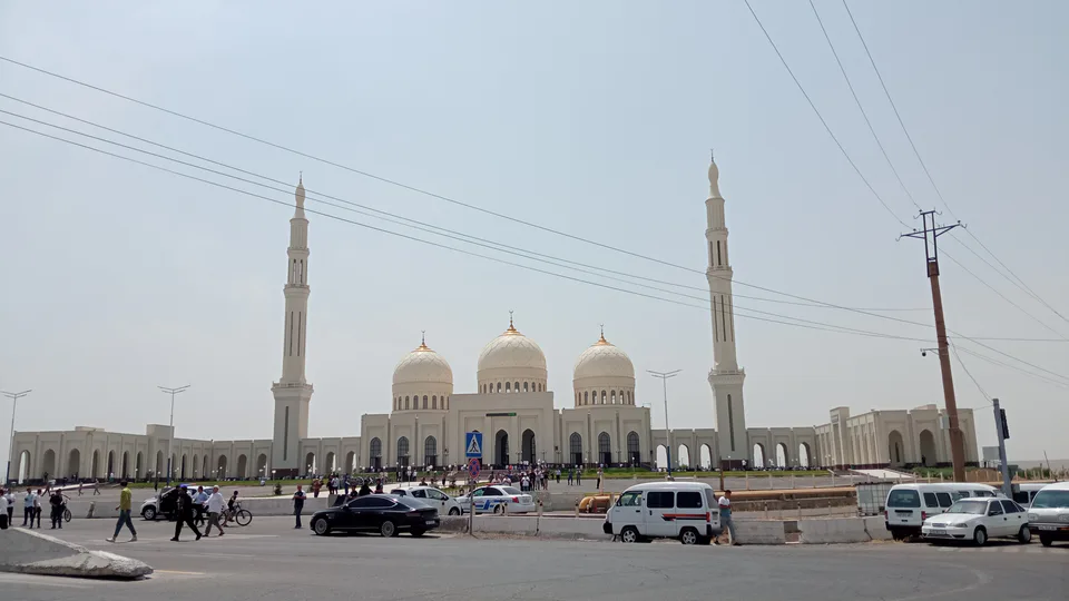
city · A town of copper and molybdenum
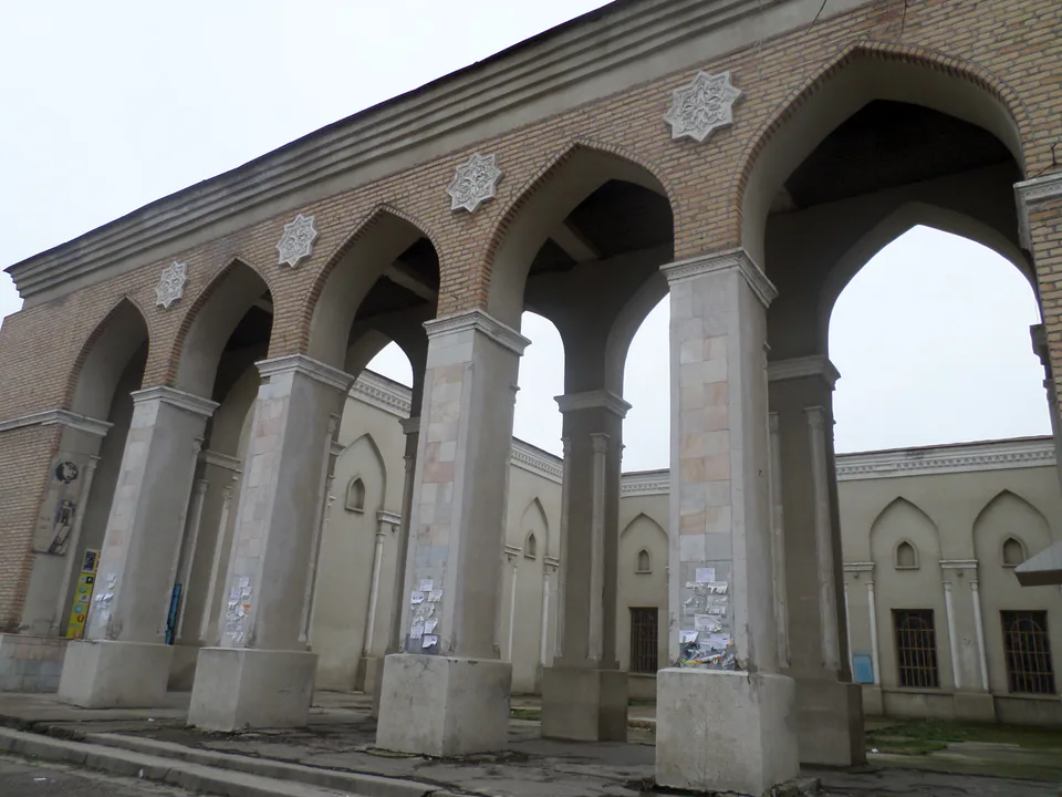
city · A “new road” on the highway
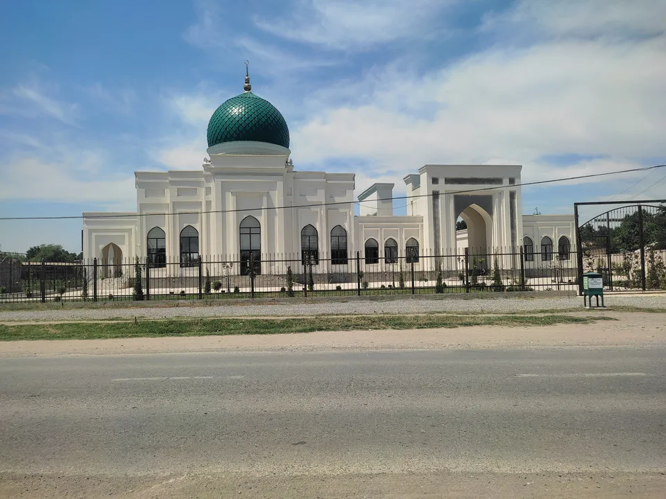
district · The Dalverzin steppe and the Syr Darya woodlands
district · Farm country below the Kurama Range
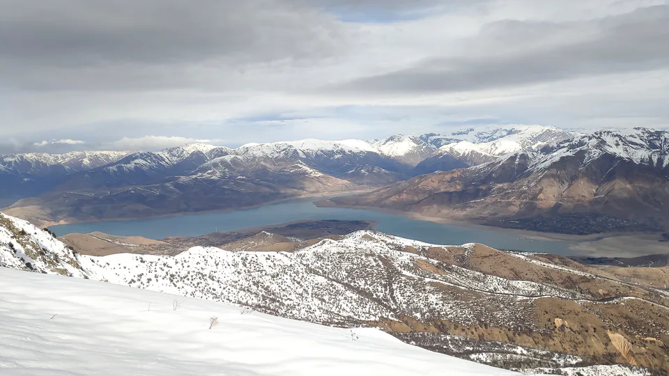
district · Uzbekistan’s mountain resort country
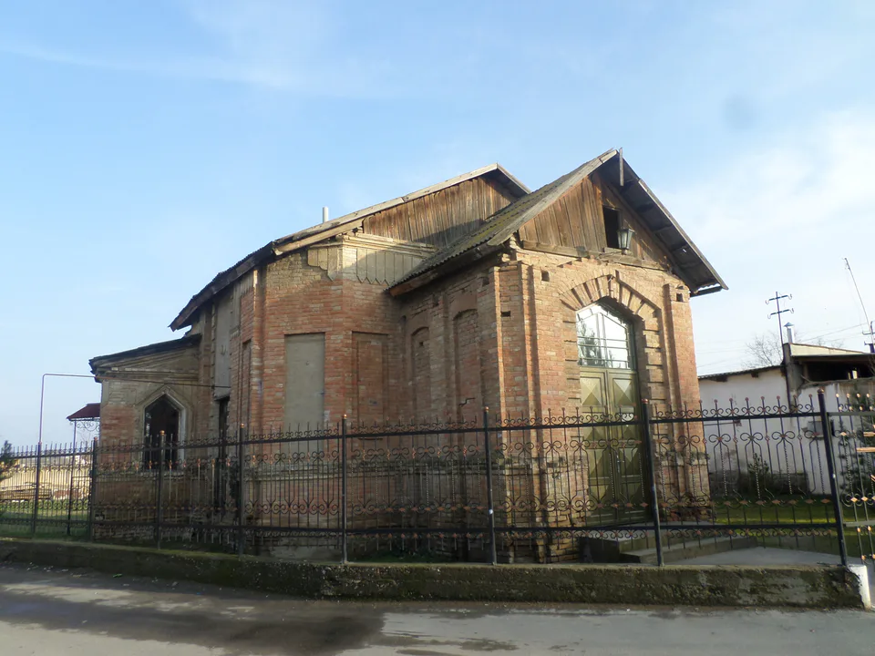
district · Where the Chirchiq meets the Syr Darya
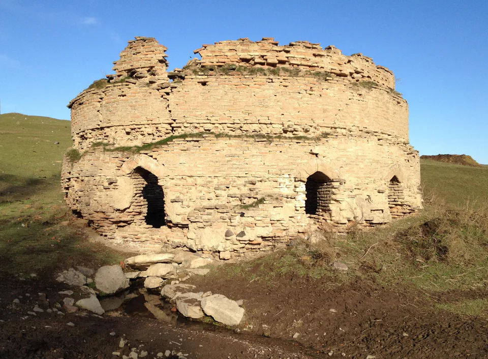
district · A valley of mines between the Chatkal and Kurama
district · The land of Chach’s first capital
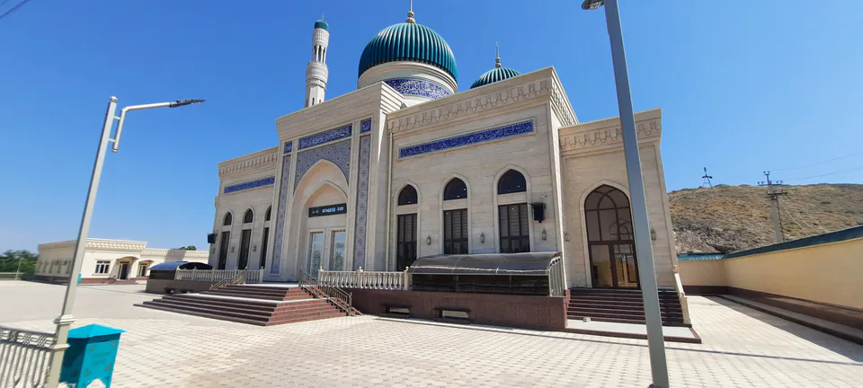
district · Home of the Korean Polar Star farm
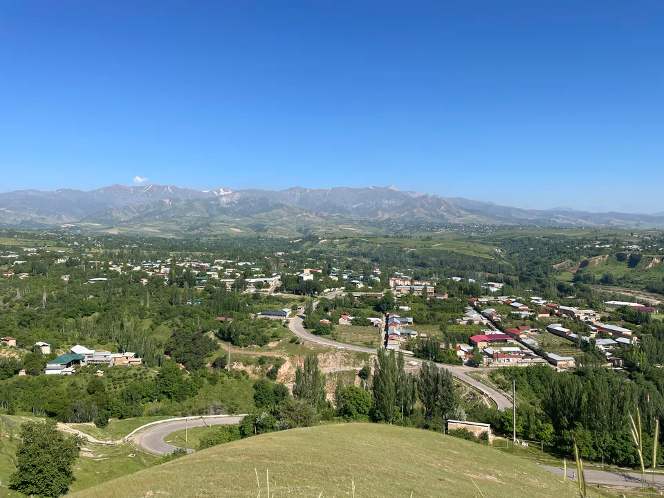
district · The solar furnace and the Chatkal foothills
district · A land of ancient canals below the Kurama
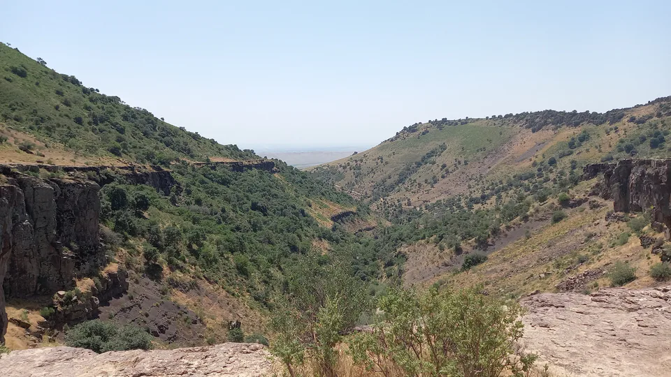
district · The capital’s north-eastern gateway
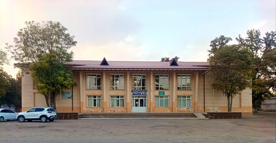
district · The lower Chirchiq and Akhangaran
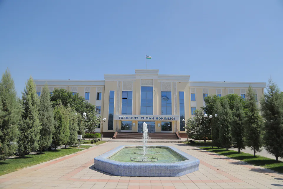
district · Between the capital and Kazakhstan
district · Orchards on the Chirchiq terraces
district · The Chirchiq bank below the Chatkal
district · A district named after a sheikh