district · Tashkent Region
Boʻka District
An agricultural district in the south-west of the region growing cotton, fruit and vegetables and raising fish; its centre, Boʻka, lies on an old caravan route.
Setting and history
Boʻka District was created on 18 May 1943 in the south-west of the region, between Oqqoʻrgʻon, Piskent and Bekobod districts, Sirdaryo Region and Tajikistan. Its centre, the town of Boʻka, lies about 55 km south of Tashkent on the piedmont plain of the Kurama Range. Caravans are thought to have passed this way, and an ossuary found near the town shows that Zoroastrians once lived here. In the late 19th century Cossack peasant settlers founded villages such as Novo-Alekseevka and Sokolovka nearby.
Today
Farming drives the economy: cotton, vegetables and fruit are grown, and livestock and fish farming are well developed. The local history museum in Boʻka keeps finds from the district’s past. The climate is sharply continental, averaging 27 °C in July and about 0 °C in January.
Boʻka District
Getting there
Airport, railway station and bus stations — addresses, timetables and the live board.
All transportNurafshon Nearest point: Nurafshon, 36 km
10°clear sky
- 10° / 8°
- 0.8 m/s
- 63%
- Today10°8°
- Mon19°5°
- Tue21°7°
- Wed17°10°
- Thu17°10°
Weather: MET Norway
Boʻka District
Government offices
Khokimiyat, public service centre and other offices: addresses, phones, hours.
All offices (4)Khokimiyat
Buka District Khokimiyat
1 Abdulla Qodiriy St, Buka District 110600
Mon–Fri 9:00–18:00, lunch 13:00–14:00
Read morePublic Service Centre
Buka District Public Services Center
7 Ozbekiston St, Buka
Read more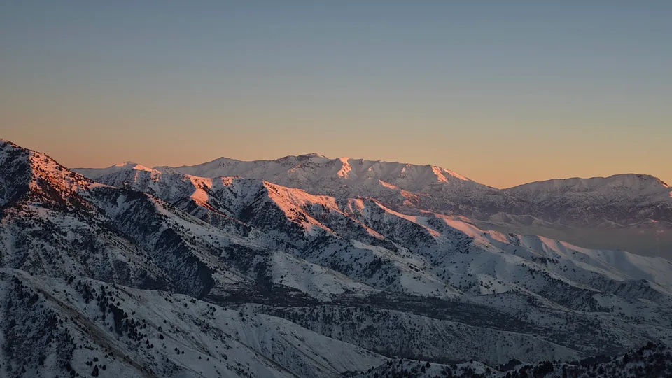
Angren
city · Uzbekistan’s coal capital
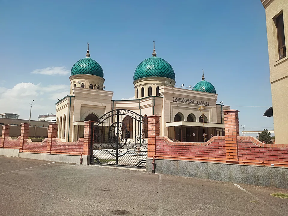
Bekobod
city · A steel town at the gateway of the Syr Darya
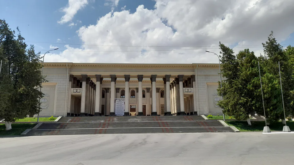
Chirchiq
city · A chemical town at the foot of the mountains
Nurafshon
city · The region’s new capital
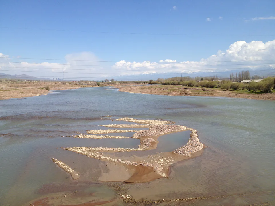
Ohangaron
city · The town of the “blacksmiths”
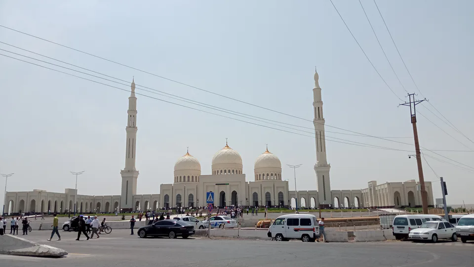
Olmaliq
city · A town of copper and molybdenum
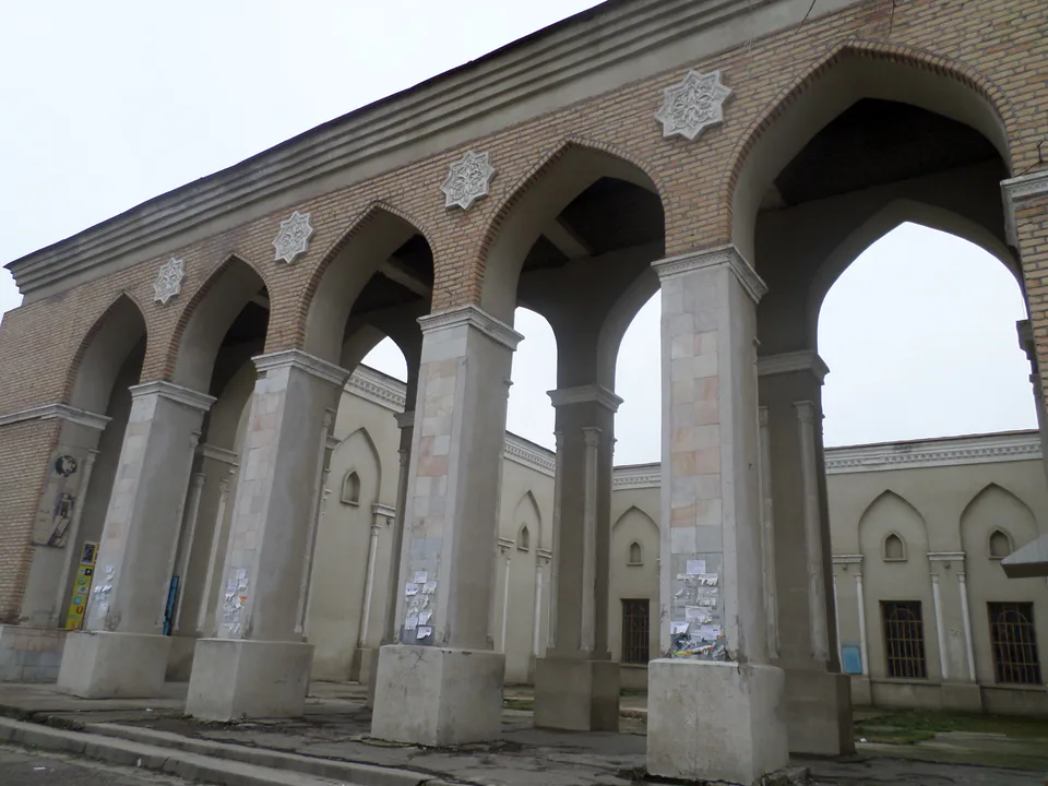
Yangiyoʻl
city · A “new road” on the highway
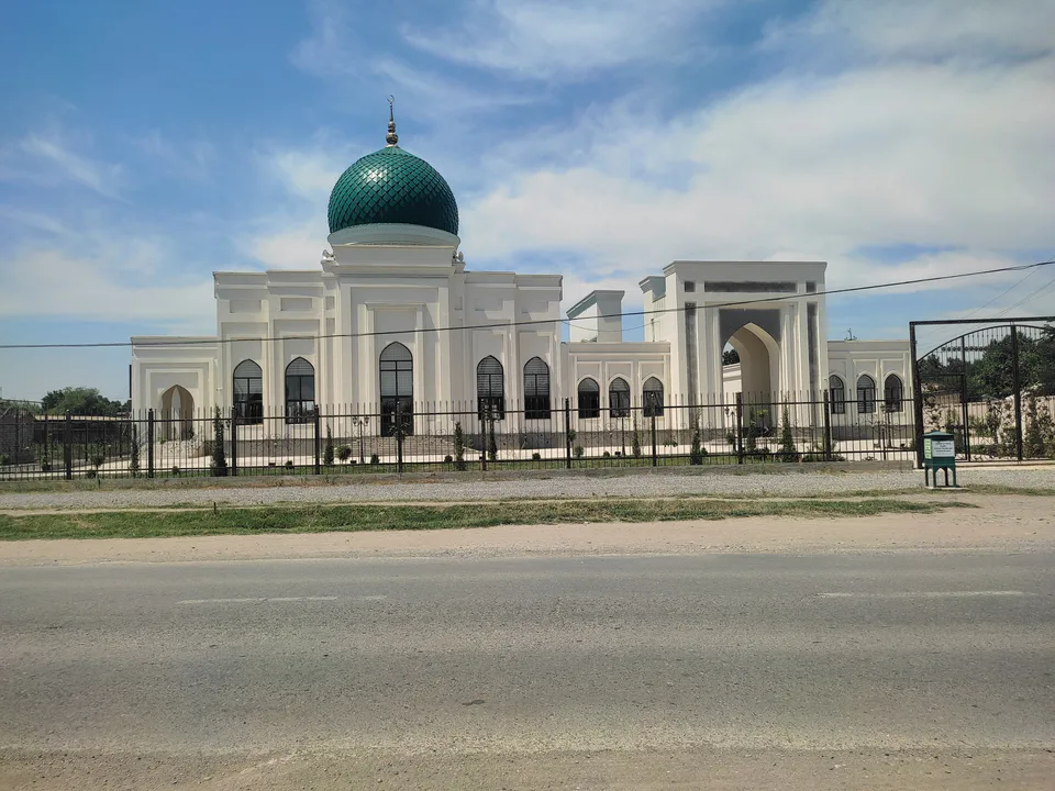
Bekobod District
district · The Dalverzin steppe and the Syr Darya woodlands
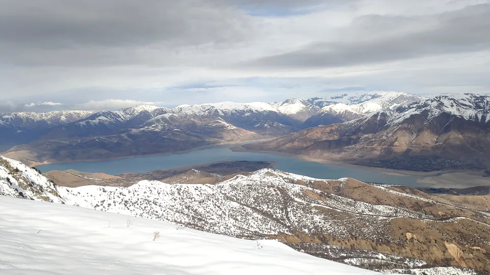
Bostanliq District
district · Uzbekistan’s mountain resort country
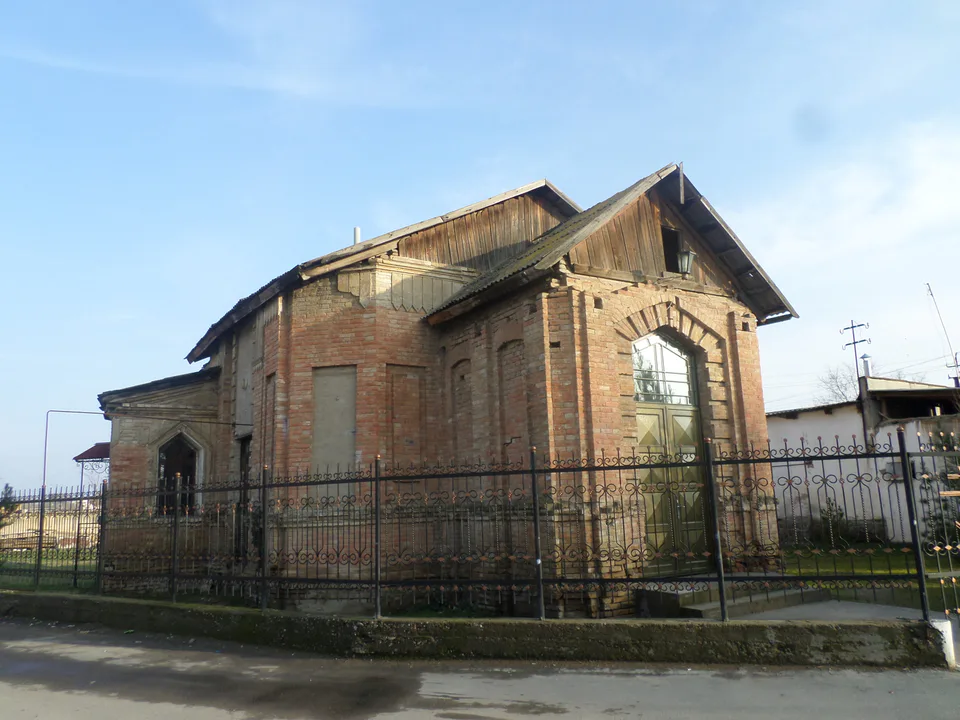
Chinoz District
district · Where the Chirchiq meets the Syr Darya
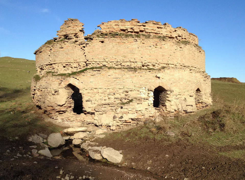
Ohangaron District
district · A valley of mines between the Chatkal and Kurama
Oqqoʻrgʻon District
district · The land of Chach’s first capital
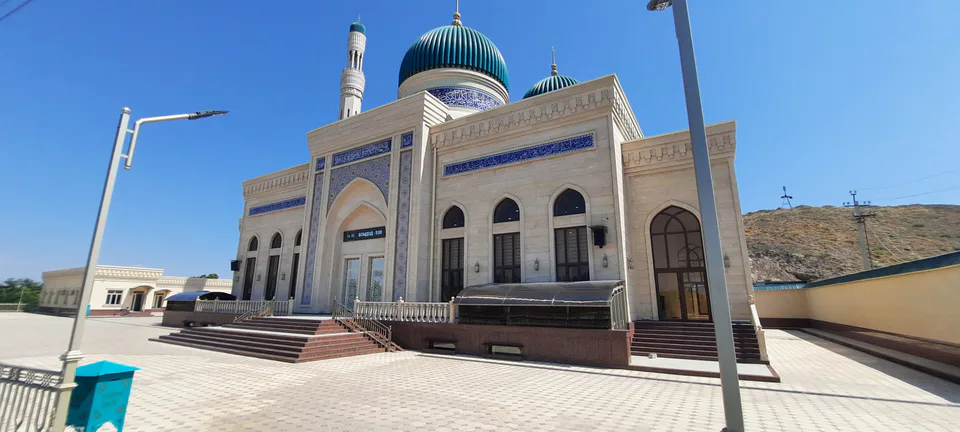
Ortachirchiq District
district · Home of the Korean Polar Star farm
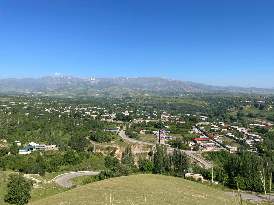
Parkent District
district · The solar furnace and the Chatkal foothills
Piskent District
district · A land of ancient canals below the Kurama
Qibray District
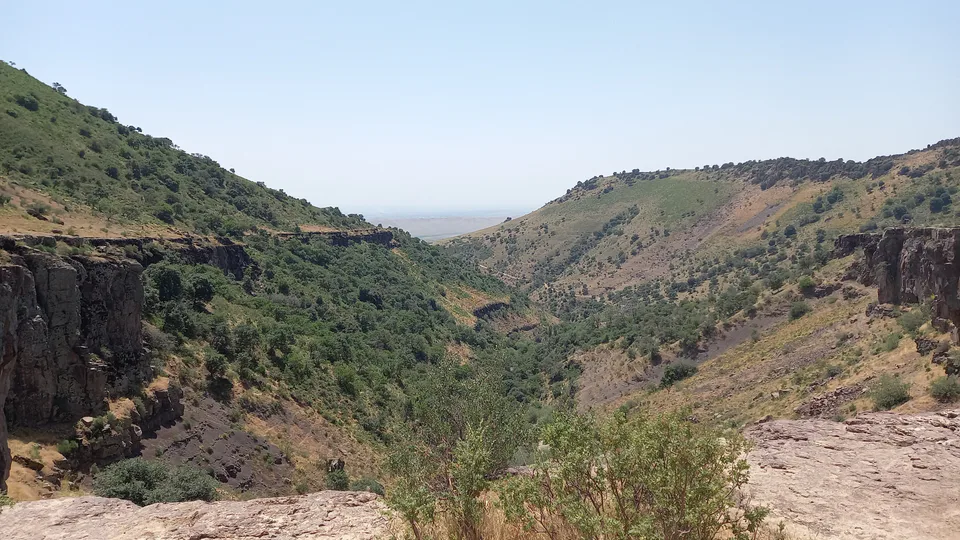
district · The capital’s north-eastern gateway
Quyichirchiq District
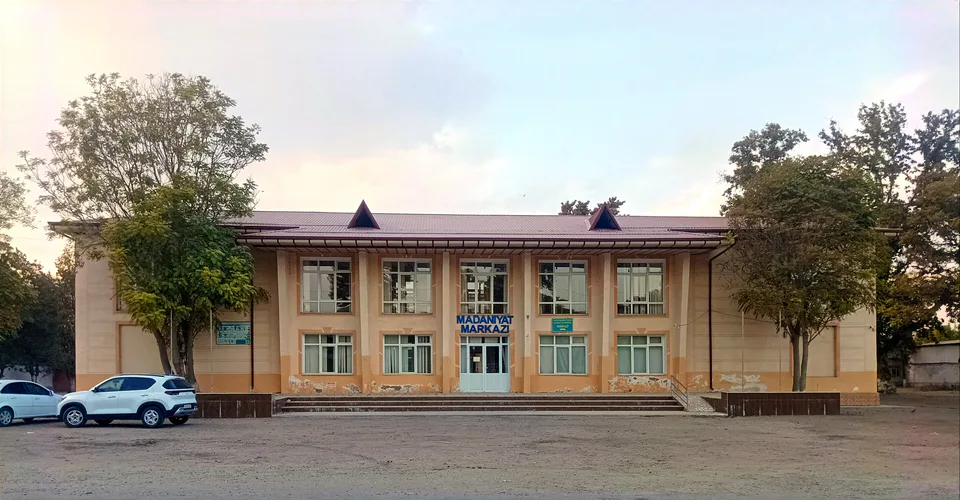
district · The lower Chirchiq and Akhangaran
Toshkent District
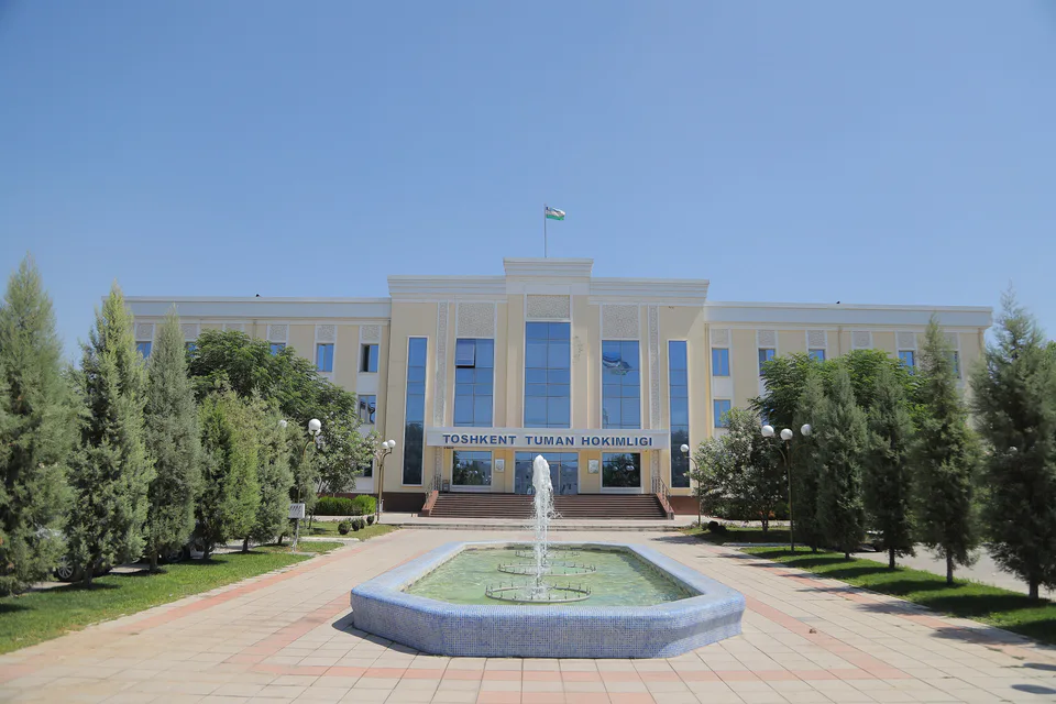
district · Between the capital and Kazakhstan
Yangiyoʻl District
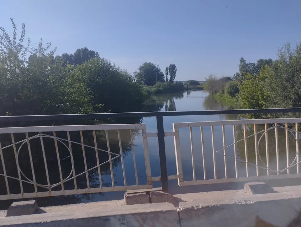
district · Orchards on the Chirchiq terraces
Yuqorichirchiq District
district · The Chirchiq bank below the Chatkal
Zangiota District
district · A district named after a sheikh