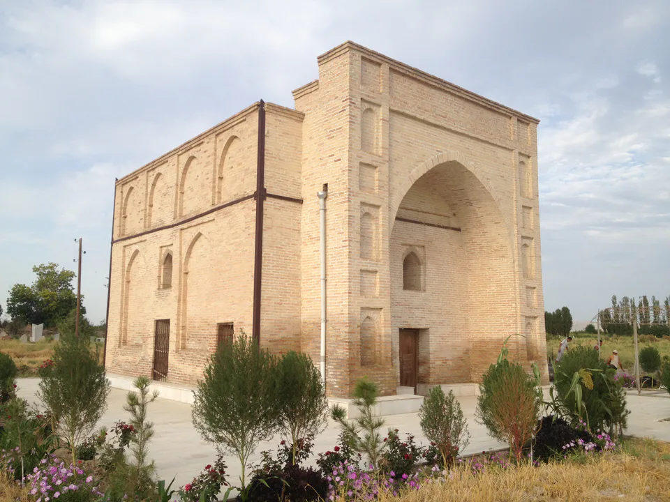
Mausoleum · Bekobod District
Kyzyl Mazar Mausoleum
A mausoleum with spiral stairs in its corners
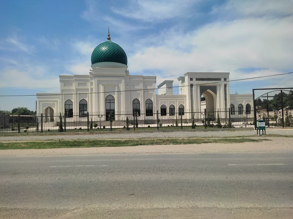
district · Tashkent Region
The region’s southernmost district: the Dalverzin steppe and part of the Hungry Steppe, oxbow lakes along the Syr Darya and the Kyzyl Mazar mausoleum.
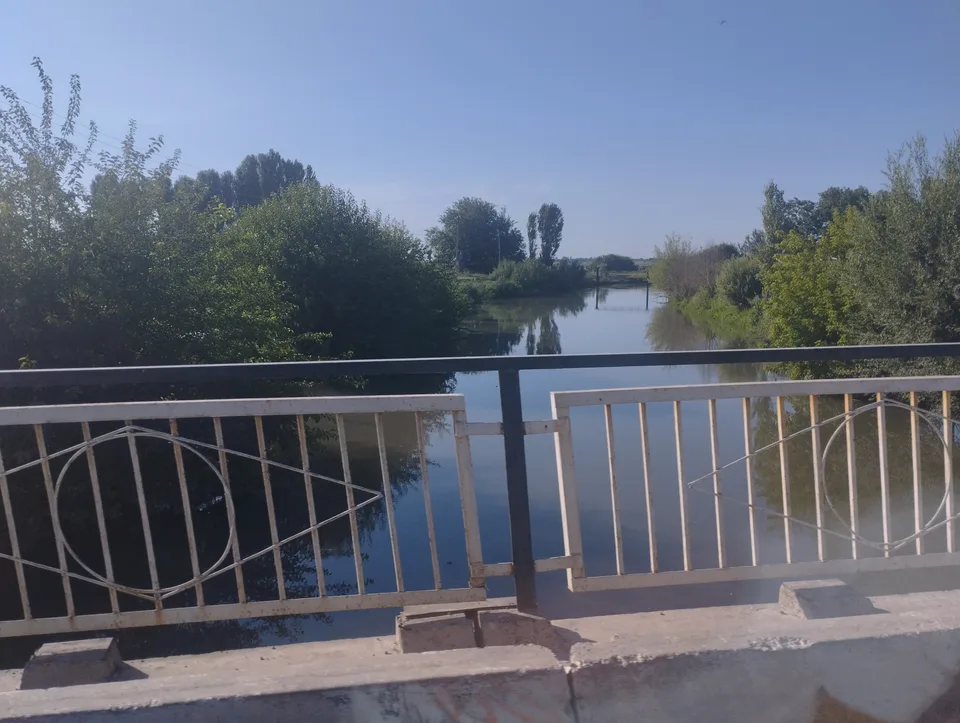
Bekobod District was created on 29 September 1926, merged into Sirdaryo Region’s Yangiyer District in 1962 and restored in April 1963. It borders Boʻka District to the north, Sirdaryo Region to the west and Tajikistan to the east and south. The land lies in the Dalverzin steppe and partly in the Hungry Steppe, sloping down to the Syr Darya, whose banks are dotted with oxbow lakes such as Qolgansir, Yangikol and Haybatkol; the Dalverzin and Dustlik canals cross it. January averages −2.5 °C and July 28.5 °C, with 227 mm of rain, and the south is swept by the strong Bekobod wind.
The district’s chief monument is the single-domed Kyzyl Mazar mausoleum in Bobur (formerly Taqachi) village, with spiral staircases in its corners. The lakes and riverside thickets of the Syr Darya are good for spotting pheasants, ducks and other birds. The district centre is the small town of Zafar, and most people work on the land.
Bekobod District
Bekobod District
Airport, railway station and bus stations — addresses, timetables and the live board.
All transportGuliston Nearest point: Guliston, 34 km
10°clear sky
Weather: MET Norway
Bekobod District
Khokimiyat, public service centre and other offices: addresses, phones, hours.
All offices (5)Khokimiyat
1 Mustaqillik St, Zafar, Bekabad District 111000
Read morePublic Service Centre
Mustaqillik St, Zafar, Bekabad District
Read moreBekobod District
Codes of the post offices in this city or district.
All postcodes (10)
city · Uzbekistan’s coal capital
city · A steel town at the gateway of the Syr Darya
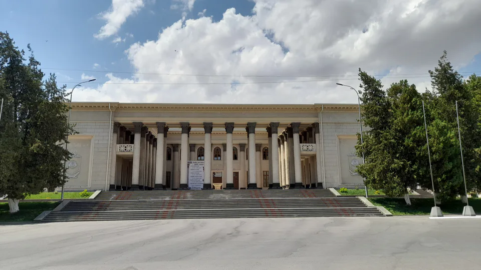
city · A chemical town at the foot of the mountains
city · The region’s new capital
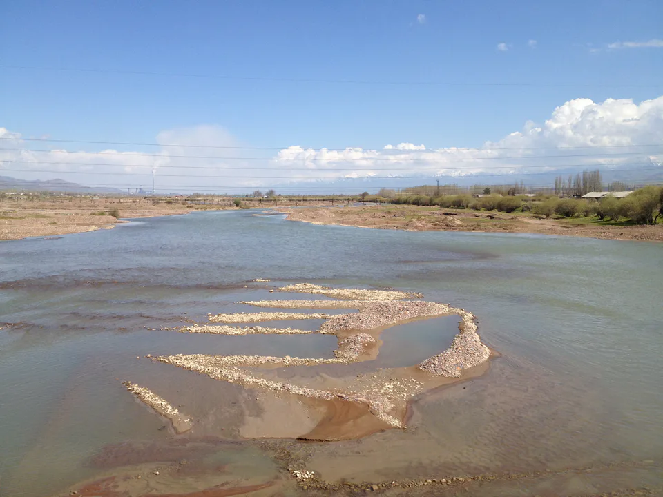
city · The town of the “blacksmiths”
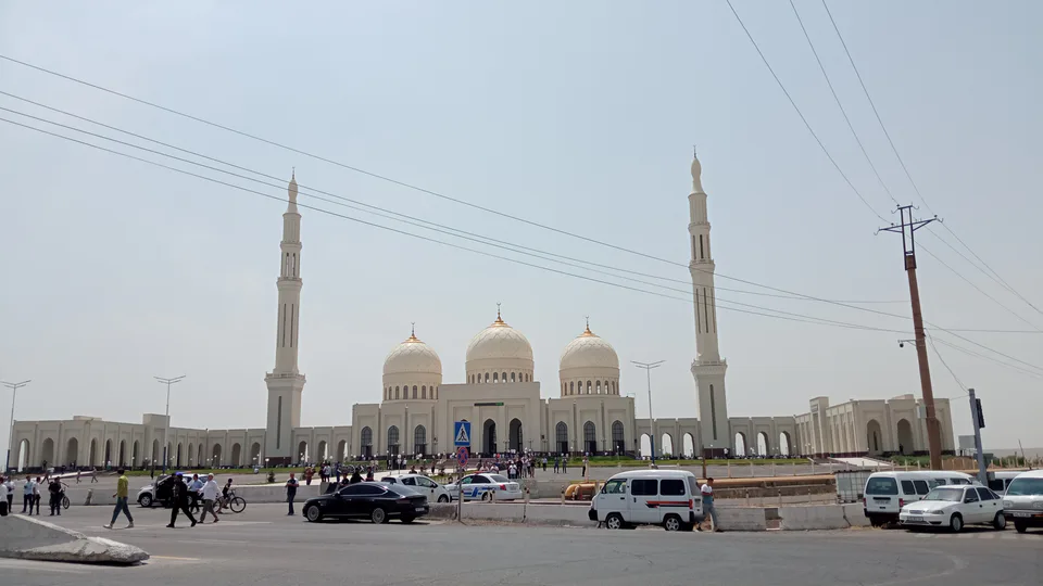
city · A town of copper and molybdenum
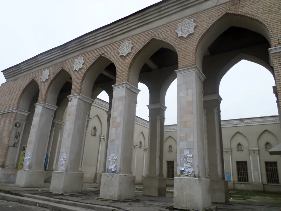
city · A “new road” on the highway
district · Farm country below the Kurama Range
district · Uzbekistan’s mountain resort country
district · Where the Chirchiq meets the Syr Darya
district · A valley of mines between the Chatkal and Kurama
district · The land of Chach’s first capital
district · Home of the Korean Polar Star farm
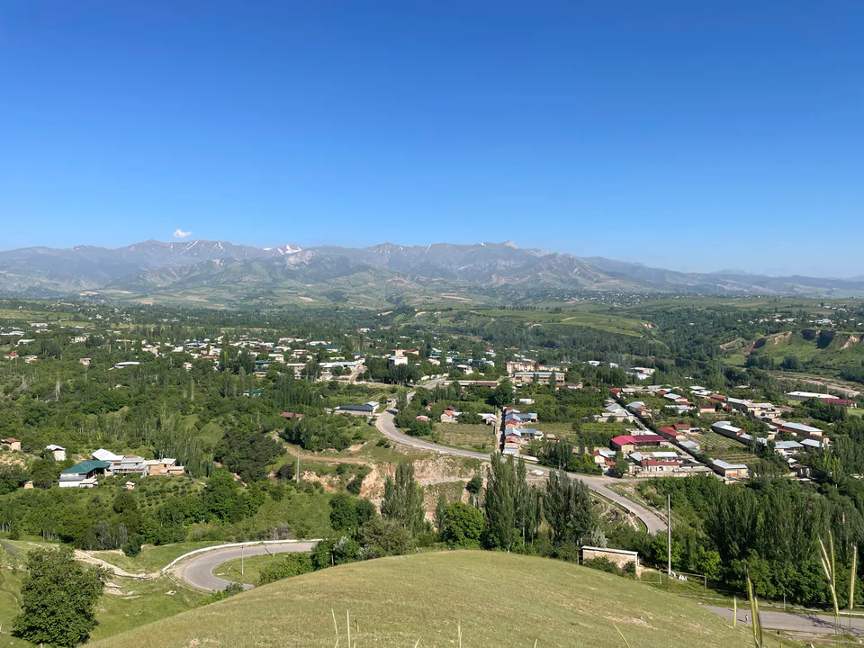
district · The solar furnace and the Chatkal foothills
district · A land of ancient canals below the Kurama
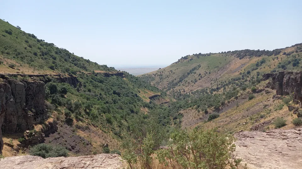
district · The capital’s north-eastern gateway
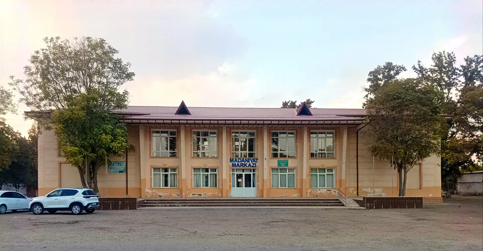
district · The lower Chirchiq and Akhangaran
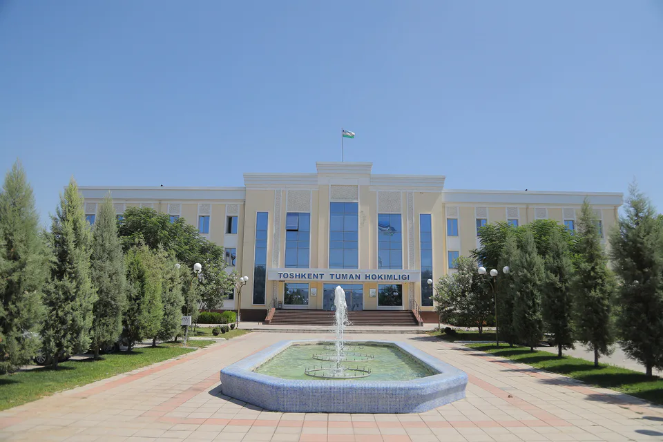
district · Between the capital and Kazakhstan
district · Orchards on the Chirchiq terraces
district · The Chirchiq bank below the Chatkal
district · A district named after a sheikh