Archaeology · Oqqoʻrgʻon District
Kanka Ancient City
The first capital of the Tashkent oasis
district · Tashkent Region
A district in the Syr Darya and Akhangaran valleys holding the ruins of Kanka, one of the oldest cities of the Tashkent oasis, and of Shahrukhiya, rebuilt by Timur.
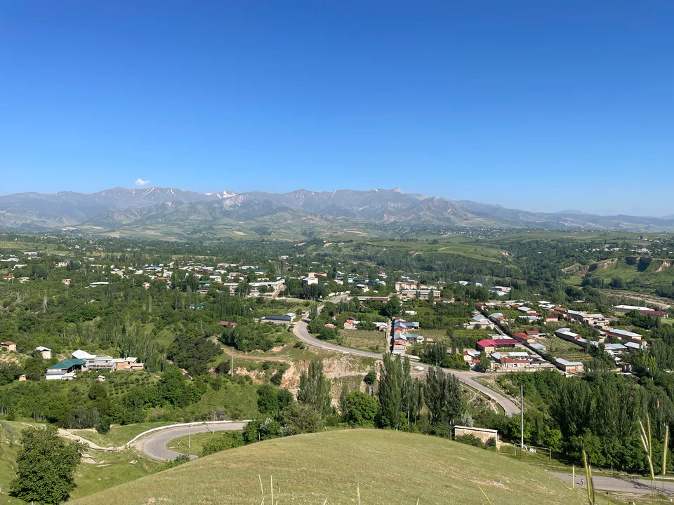
Oqqoʻrgʻon District was created on 28 July 1935. It lies between Quyichirchiq, Ortachirchiq, Piskent and Boʻka districts and Sirdaryo Region, in the valleys of the Syr Darya and its tributary the Akhangaran at an average of about 320 m, where the rivers have cut old terraces and ravines. Tugai woodland of poplar, oleaster, willow and reed fills the floodplains. January averages −3.7 °C and July 26.5 °C.
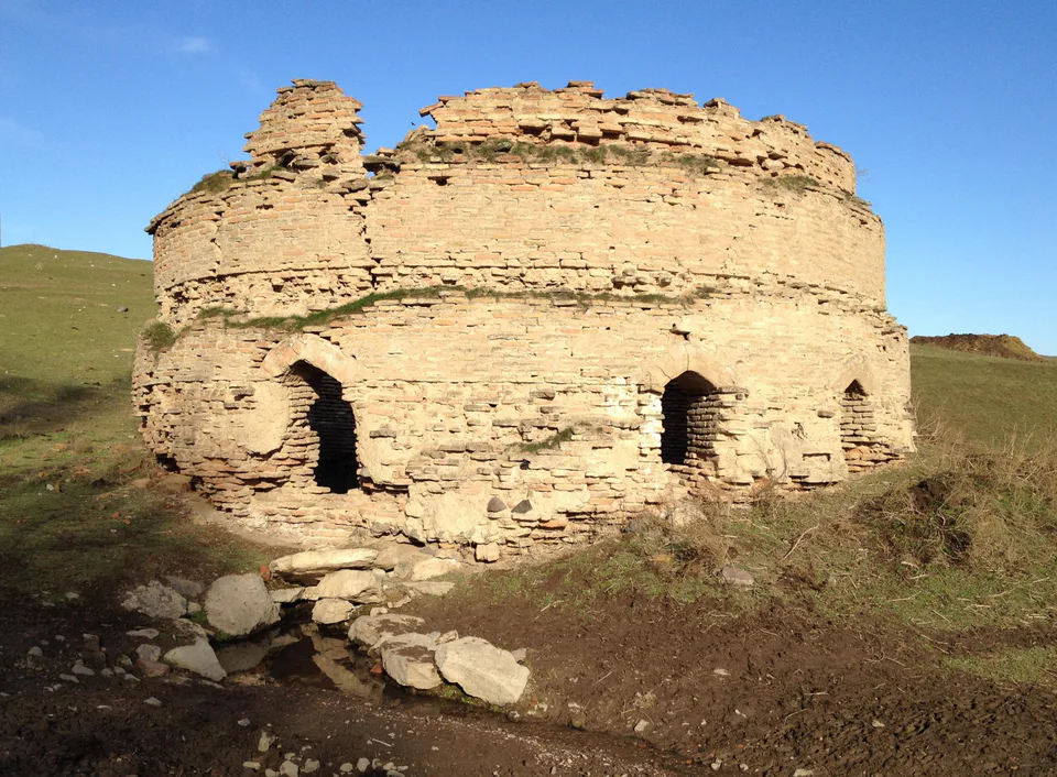
This is one of the richest archaeological districts of the Tashkent oasis. Kanka (Kharashkat), near Eltamgali, was inhabited from the 3rd century BC to the 13th century and is regarded as the first capital of Chach. Timur rebuilt the ruins of Banakat on the Syr Darya in 1392 as Shahrukhiya, a name one of the district’s neighbourhoods still bears. Both sites are on UNESCO’s Tentative List.
Oqqoʻrgʻon District
Airport, railway station and bus stations — addresses, timetables and the live board.
All transportNurafshon Nearest point: Nurafshon, 38 km
10°clear sky
Weather: MET Norway
Oqqoʻrgʻon District
Khokimiyat, public service centre and other offices: addresses, phones, hours.
All offices (4)Khokimiyat
1 Oqqorgon St, Akkurgan District 110400
9:00–18:00
Read morePublic Service Centre
Oybek St, Akkurgan District
Read moreOqqoʻrgʻon District
Codes of the post offices in this city or district.
All postcodes (8)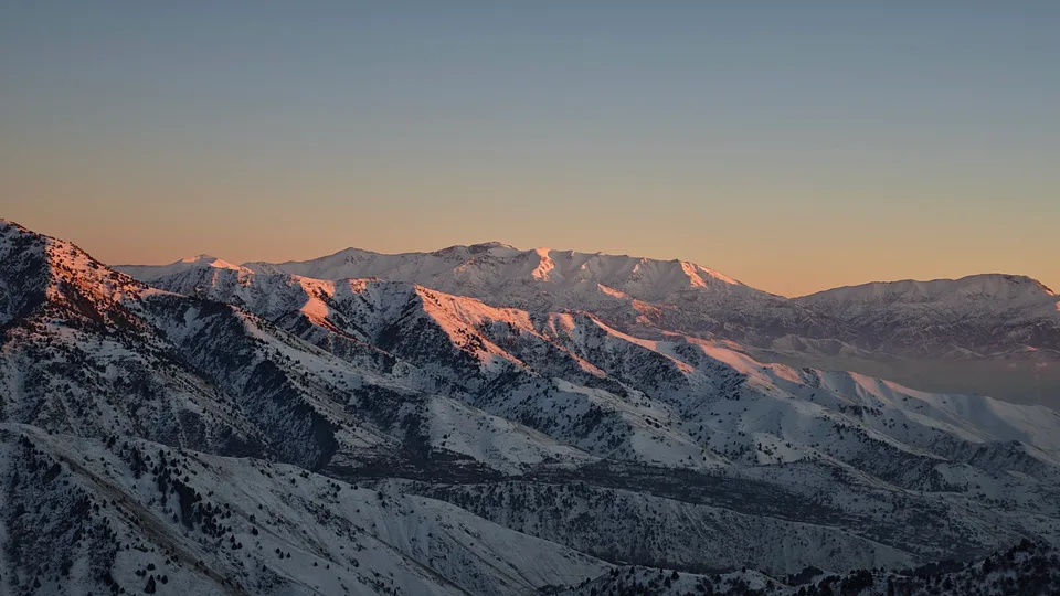
city · Uzbekistan’s coal capital
city · A steel town at the gateway of the Syr Darya
city · A chemical town at the foot of the mountains
city · The region’s new capital
city · The town of the “blacksmiths”
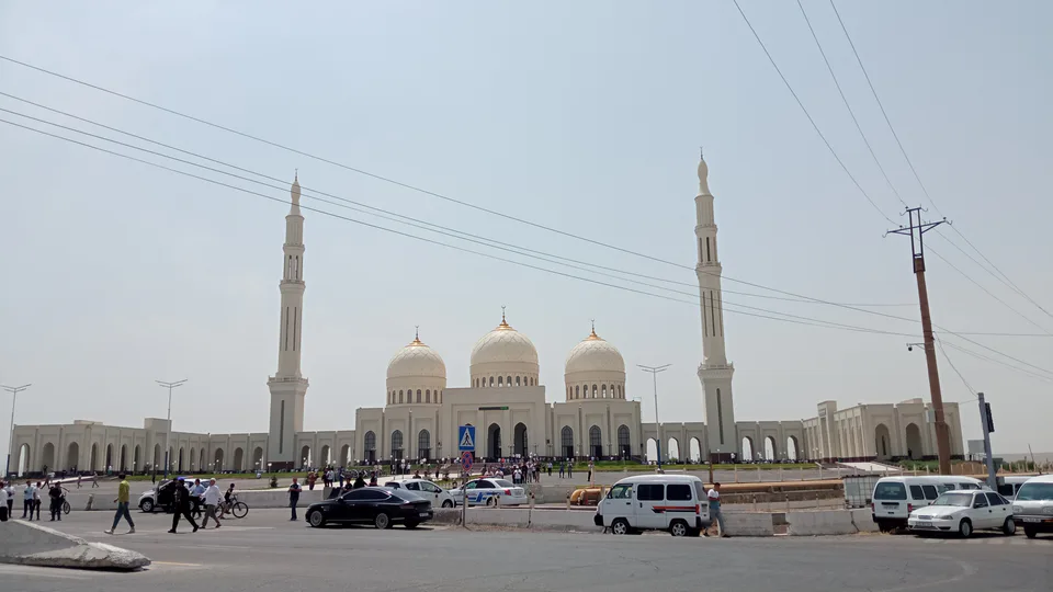
city · A town of copper and molybdenum
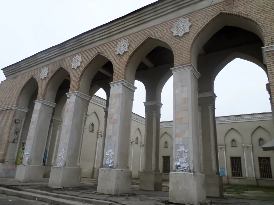
city · A “new road” on the highway
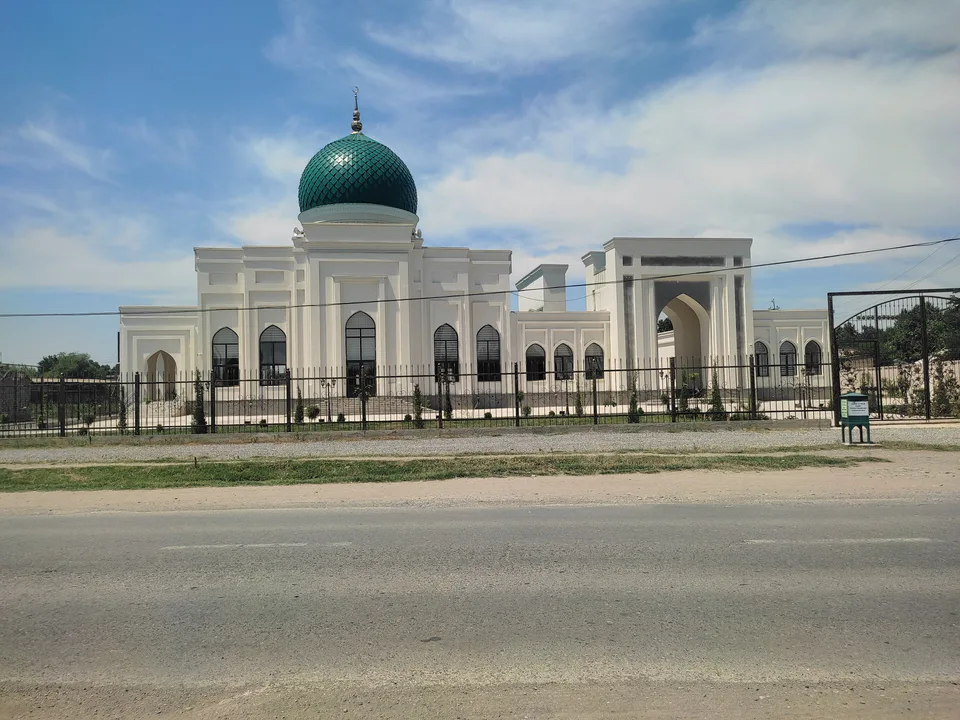
district · The Dalverzin steppe and the Syr Darya woodlands
district · Farm country below the Kurama Range
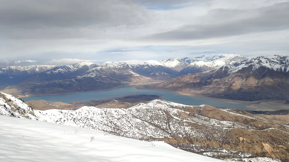
district · Uzbekistan’s mountain resort country
district · Where the Chirchiq meets the Syr Darya
district · A valley of mines between the Chatkal and Kurama
district · Home of the Korean Polar Star farm
district · The solar furnace and the Chatkal foothills
district · A land of ancient canals below the Kurama
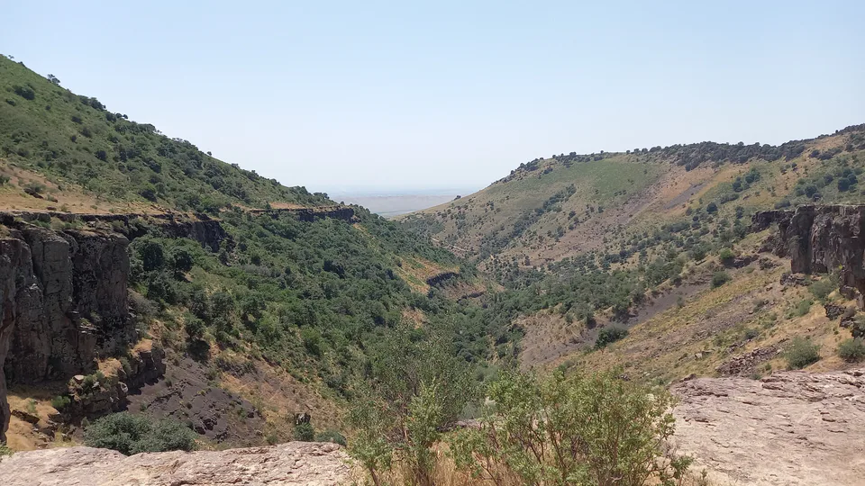
district · The capital’s north-eastern gateway
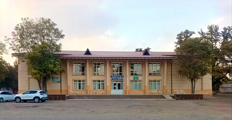
district · The lower Chirchiq and Akhangaran
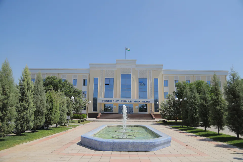
district · Between the capital and Kazakhstan
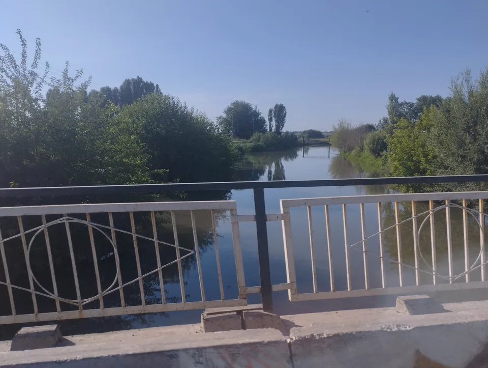
district · Orchards on the Chirchiq terraces
district · The Chirchiq bank below the Chatkal
district · A district named after a sheikh