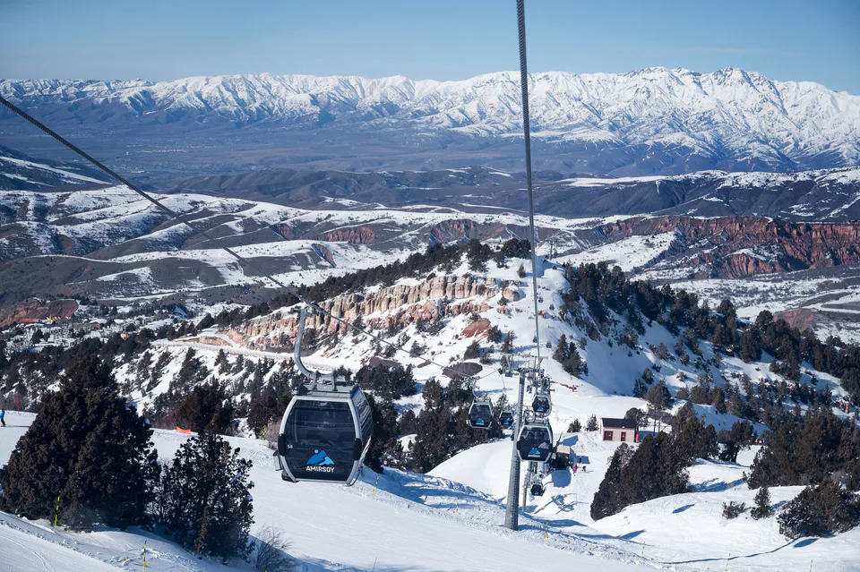
Resort · Bostanliq District
Amirsoy Mountain Resort
Uzbekistan’s newest ski resort
district · Tashkent Region
The region’s largest and highest district: Chimgan, Charvak, Amirsoy, the Pskem valley and Ugam-Chatkal National Park — Tashkent’s main holiday ground.
Bostanliq District covers some 4,900 km² in the north-east of the region, making it the largest district. It borders Kazakhstan to the north, Kyrgyzstan to the north-east and east, and Namangan Region to the south-east, and is filled by the Karzhantau, Pskem, Ugam and Chatkal ranges. After the national delimitation of 1924 the area belonged first to the Kyrgyz and then to the Kazakh republic as Bostandyk District, and on 13 February 1956 it was transferred to Uzbekistan’s Tashkent Region. Its centre, Gazalkent, began in 1932 as a settlement for hydropower builders.
This is the country’s chief mountain-tourism area: Chimgan and Greater Chimgan, the Beldersay and Amirsoy ski resorts, Lake Charvak, the Pskem and Ugam valleys, Lake Urungach and the Gulkam canyon. Historic sites include the Obi-Rakhmat grotto, the Khojikent petroglyphs and Sheikh Umar’s tomb at Bogiston. With 500–600 mm of precipitation and summers cooler than the plains, it has long been Tashkent’s summer retreat.
Bostanliq District
Resort · Bostanliq District
Uzbekistan’s newest ski resort
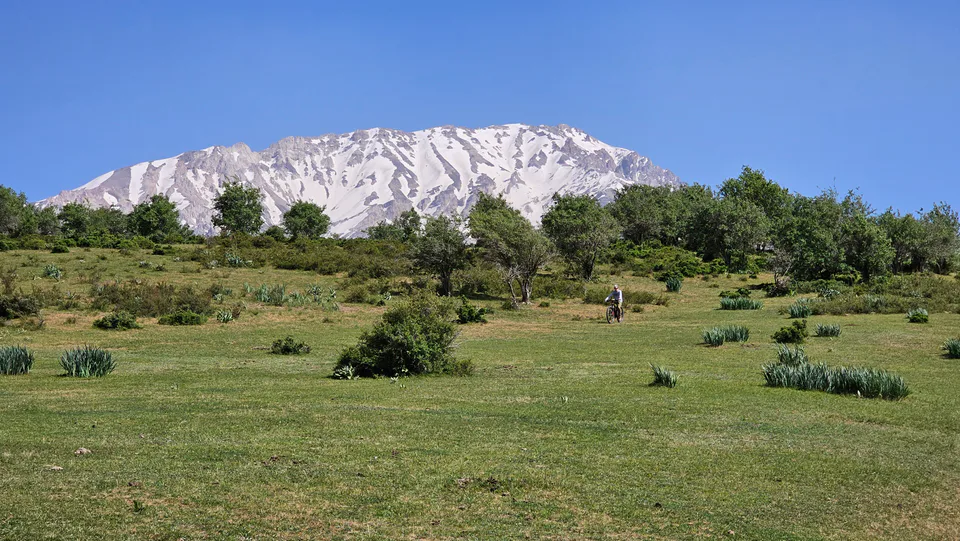
Resort · Bostanliq District
Tashkent’s oldest mountain resort
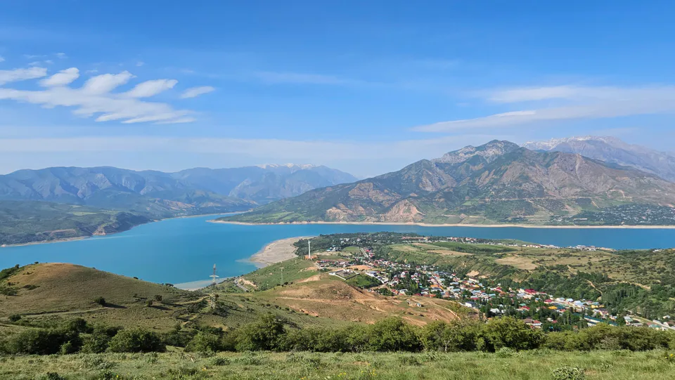
Nature · Bostanliq District
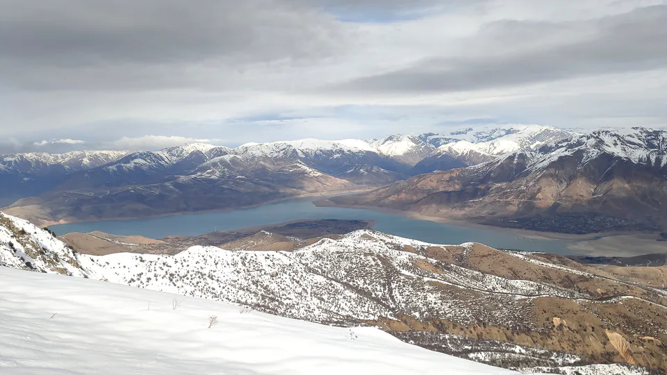
A turquoise “sea” among the mountains
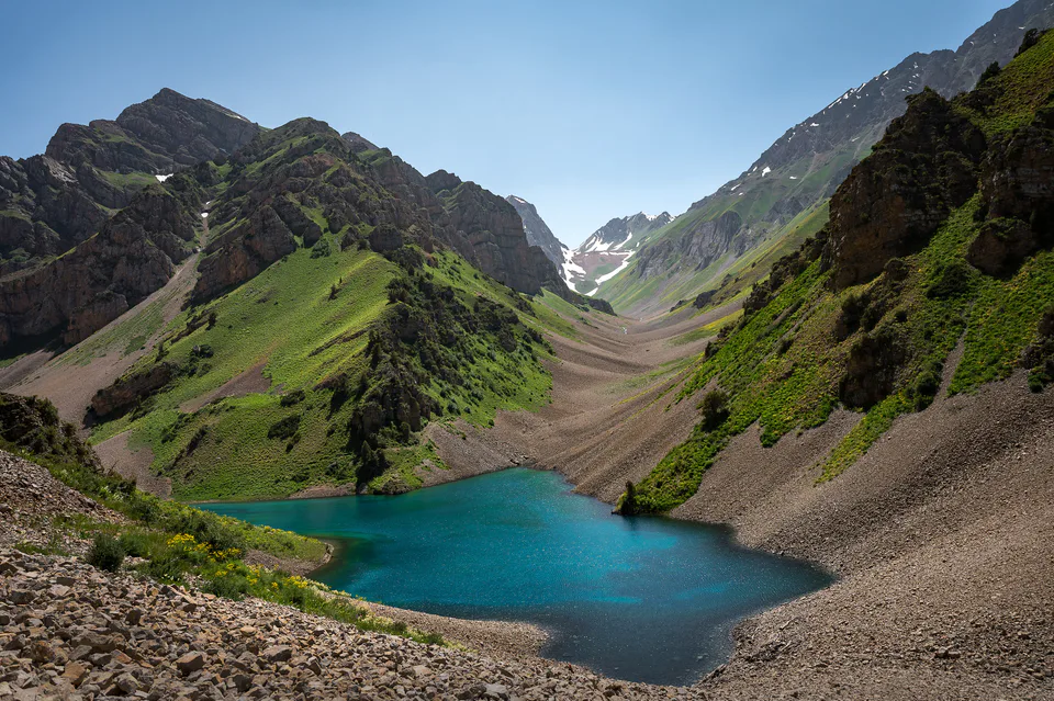
Nature · Bostanliq District
The wild mountains of the Western Tian Shan
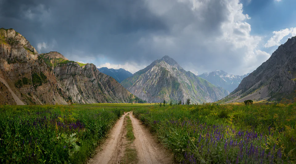
Nature · Bostanliq District
Mountain forests protected since 1947
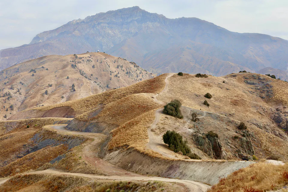
Resort · Bostanliq District
The chairlift to the top of Kumbel
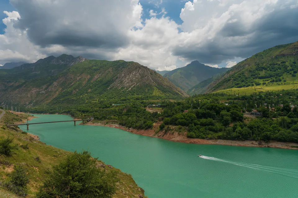
Resort · Bostanliq District
Mountain villages around Lake Charvak
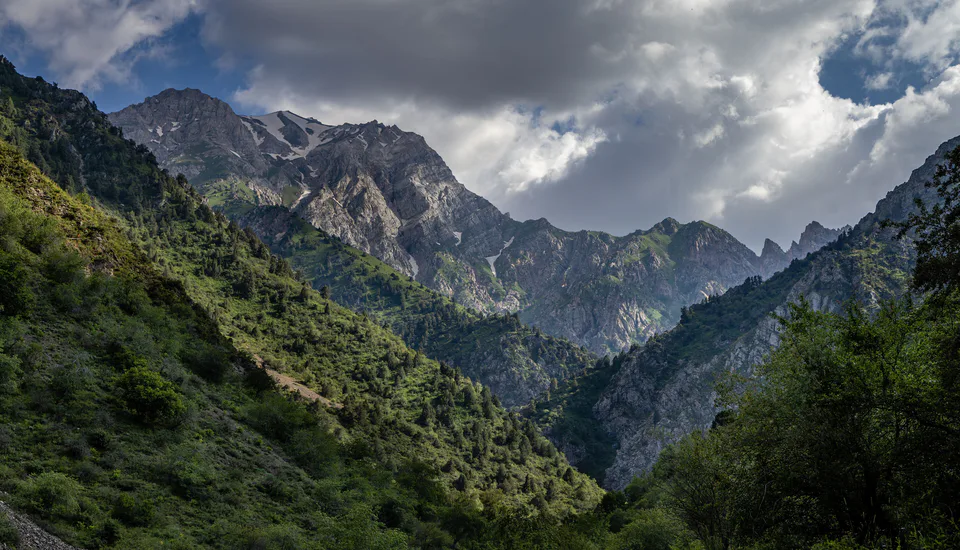
Nature · Bostanliq District
A narrow gorge and a staircase of waterfalls
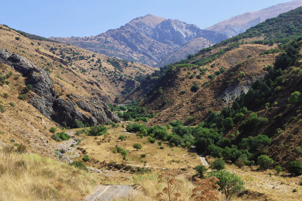
Archaeology · Bostanliq District
A Neanderthal hunting camp
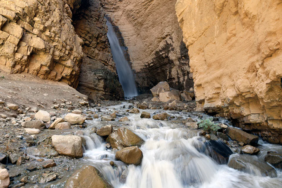
Nature · Bostanliq District
A waterfall among the rocks and birch groves
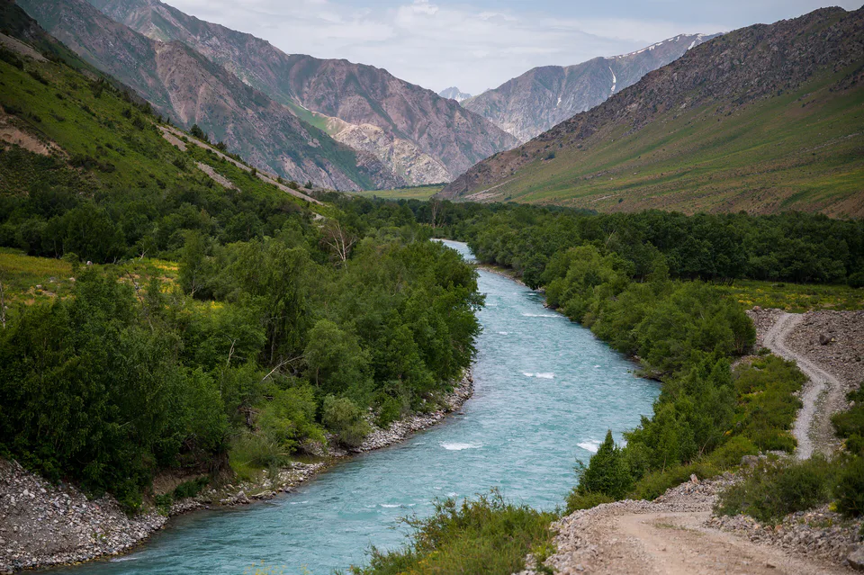
Nature · Bostanliq District
A valley of walnut groves and mountain villages
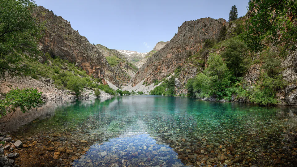
Nature · Bostanliq District
A turquoise lake behind a landslide dam
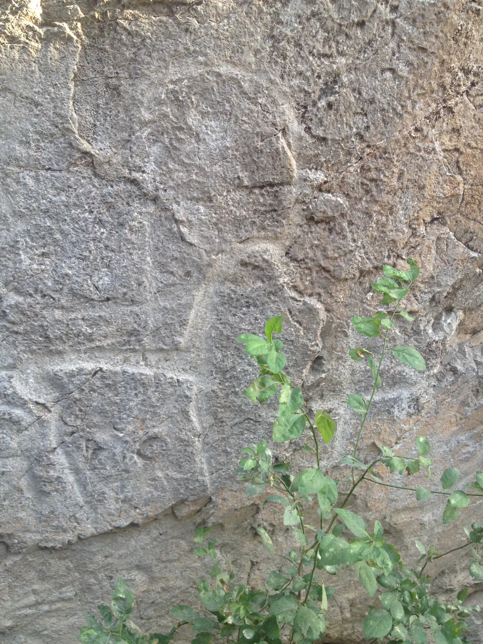
Archaeology · Bostanliq District
A five-thousand-year-old book in stone
Museum · Bostanliq District
In memory of the climber who measured Tian Shan peaks
Mausoleum · Bostanliq District
The grave of Sheikh Khovendi at-Tahur’s father
Bostanliq District
Airport, railway station and bus stations — addresses, timetables and the live board.
All transportCharvak Nearest point: Charvak, 22 km
9°clear sky
Weather: MET Norway
Bostanliq District
Checked hotels and places to eat — with addresses, phone numbers, opening hours and price levels.
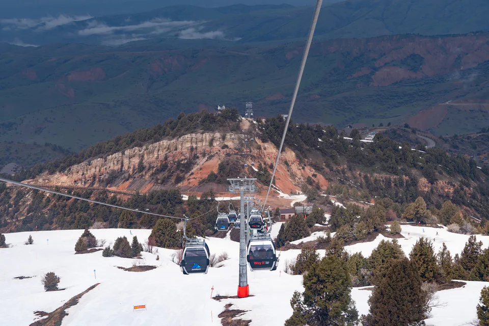
Uzbekistan’s largest ski resort
Chalets within Amirsoy Mountain Resort
100-room family resort complex in Chimgan
Spa hotel in a Chimgan pine forest
Family resort hotel in Bostanliq District
Resort hotel on the shore of Chorvoq Reservoir
Holiday grounds overlooking Chorvoq Reservoir
Spa hotel in the settlement of Chorvoq
Wyndham hotel near Chorvoq Reservoir
Houses and chalets with a pool in Chimgan
Boutique guesthouse in Chimgan with yurt rooms
Mountain resort in the Destination by Hyatt collection
Family restaurant in the settlement of Chorvoq
Uzbek restaurant in Bostanliq District
Fish and kebab café-restaurant
Turkish restaurant by the Chinorkent cable car
Restaurant at the top of Amirsoy resort
Shashlik house in the Navobod mahalla
Shashlik and fish restaurant in Bostanliq District
Café-restaurant in the Dumaloq mahalla
Bostanliq District
Khokimiyat, public service centre and other offices: addresses, phones, hours.
All offices (4)Khokimiyat
14 Mustaqillik St, Gazalkent, Bostanliq District 110700
Read morePublic Service Centre
3 Lutfiy St, Gazalkent, Bostanliq District
Read moreBostanliq District
Codes of the post offices in this city or district.
All postcodes (18)
city · Uzbekistan’s coal capital
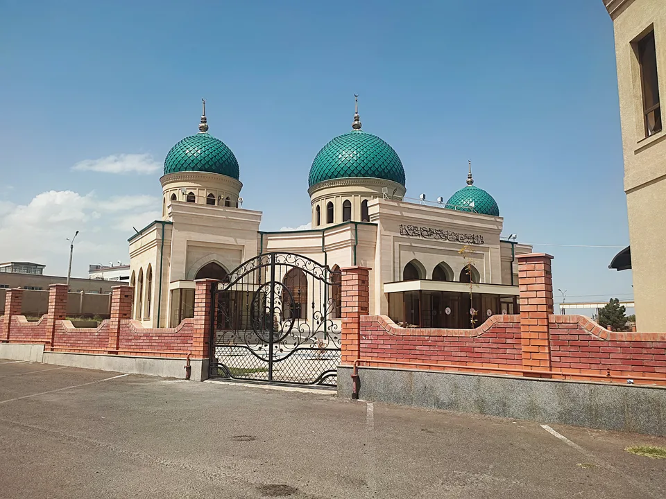
city · A steel town at the gateway of the Syr Darya
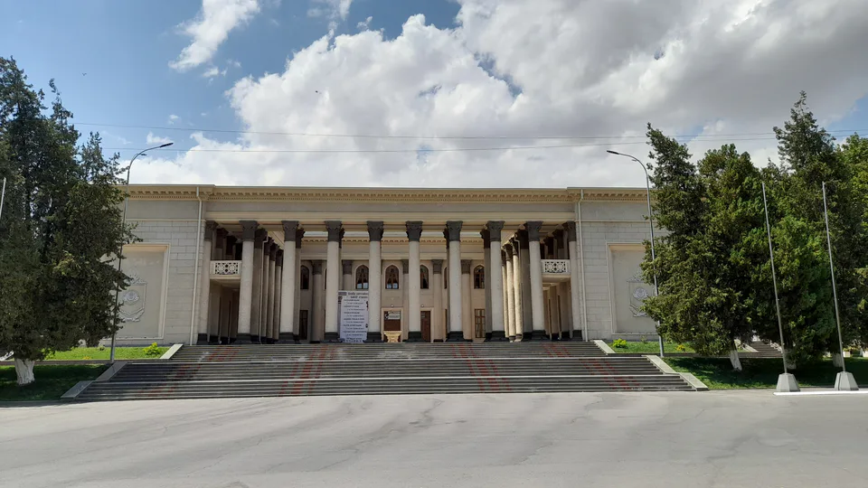
city · A chemical town at the foot of the mountains
city · The region’s new capital
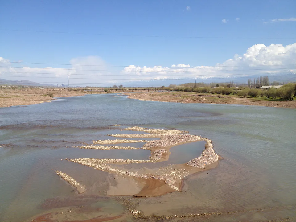
city · The town of the “blacksmiths”
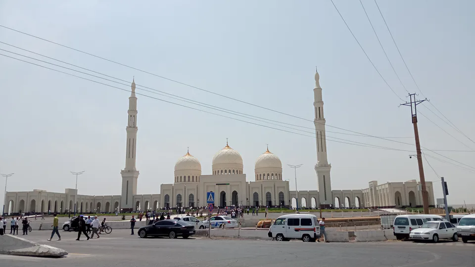
city · A town of copper and molybdenum
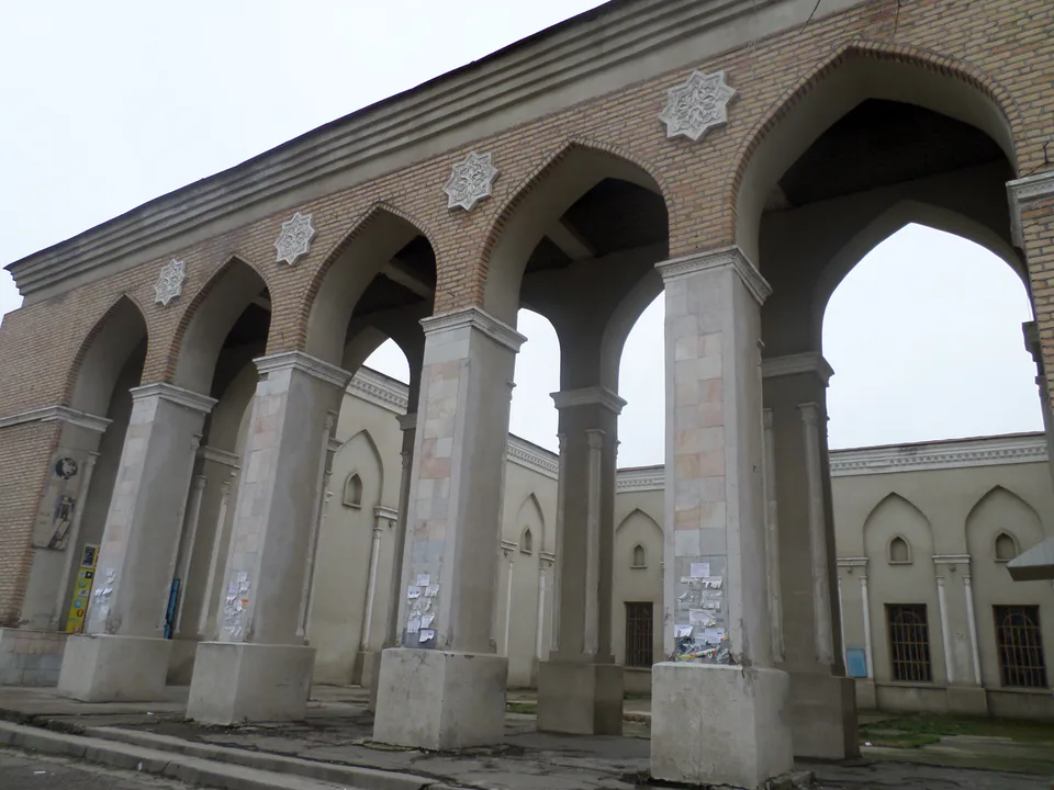
city · A “new road” on the highway
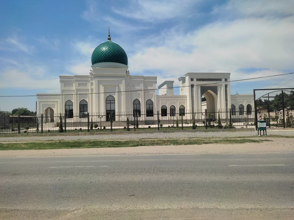
district · The Dalverzin steppe and the Syr Darya woodlands
district · Farm country below the Kurama Range
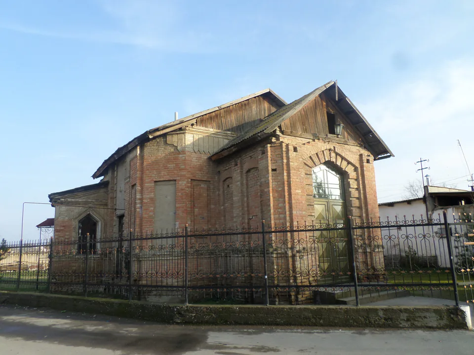
district · Where the Chirchiq meets the Syr Darya
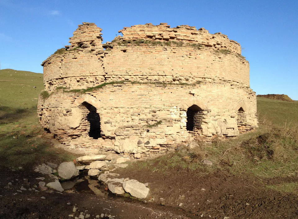
district · A valley of mines between the Chatkal and Kurama
district · The land of Chach’s first capital
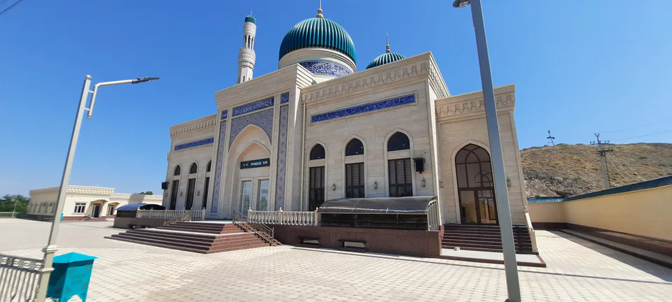
district · Home of the Korean Polar Star farm
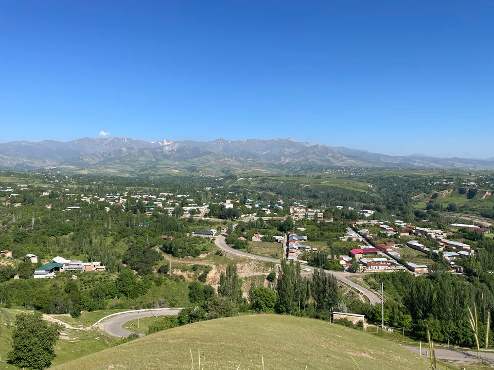
district · The solar furnace and the Chatkal foothills
district · A land of ancient canals below the Kurama
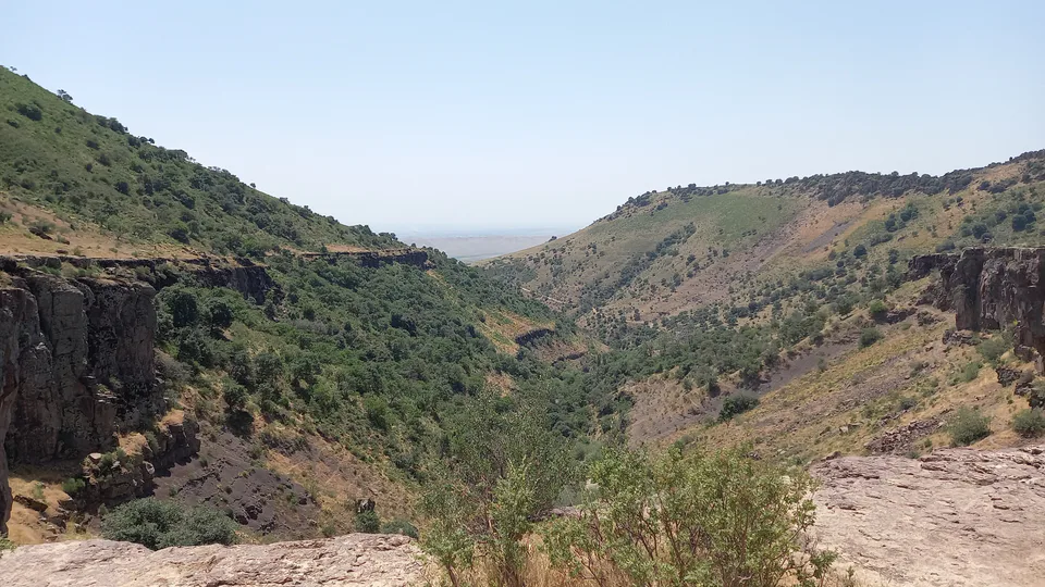
district · The capital’s north-eastern gateway
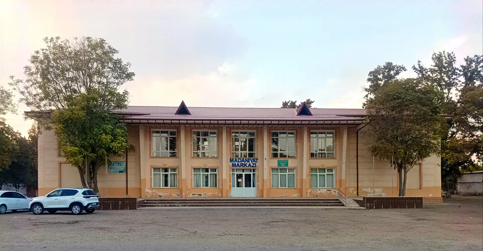
district · The lower Chirchiq and Akhangaran
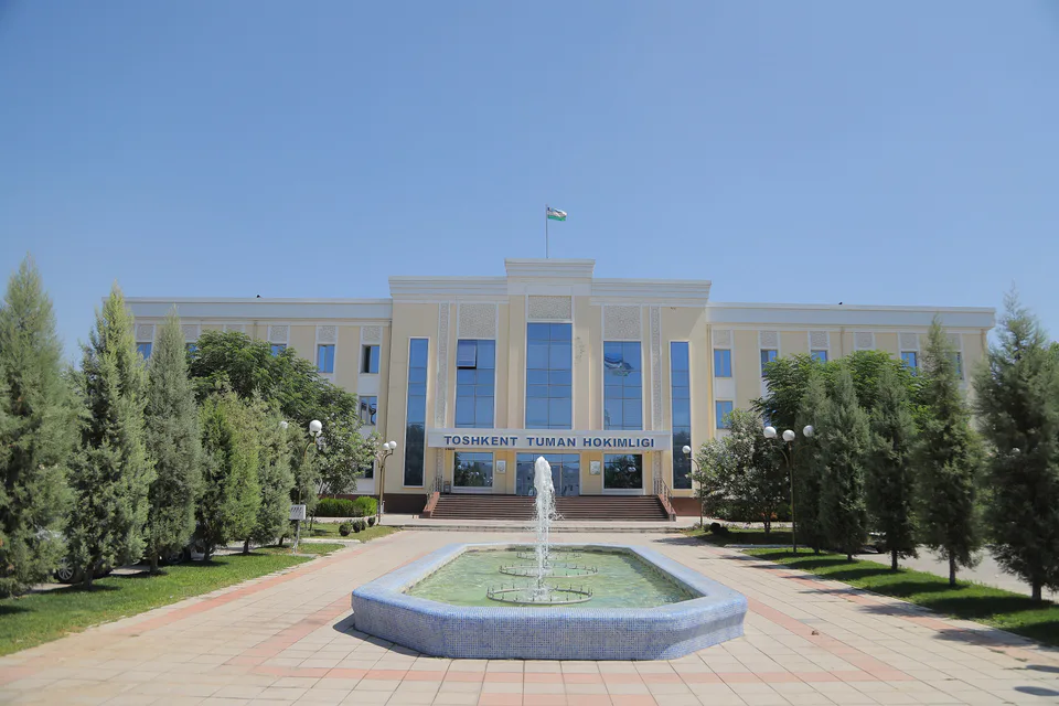
district · Between the capital and Kazakhstan
district · Orchards on the Chirchiq terraces
district · The Chirchiq bank below the Chatkal
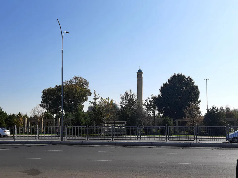
district · A district named after a sheikh