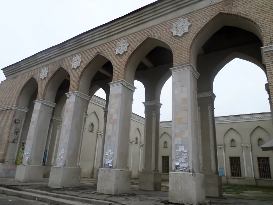
city · Tashkent Region
Yangiyoʻl
A town on the Chirchiq south-west of Tashkent, called Kaunchi until 1934 and known for its food industry and the Usmon Yusupov house-museum.
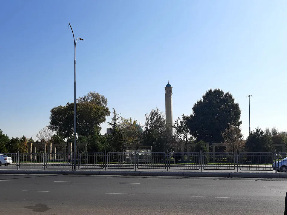
Photo: Bobyrr · CC BY-SA 4.0 · Wikimedia Commons
History
Until 1934 Yangiyoʻl was the settlement of Kaunchi. It lies on the right bank of the Chirchiq beside the Great Uzbek Highway, at about 307 m and some 20 km from Tashkent, with the Kurkuldak ditch running through the centre and the Junariq canal along its edge. A Bronze Age kurgan burial found near the town has attracted archaeologists because its rites resemble those of the Volga steppes.
Today
Yangiyoʻl is a town of food and light industry, with an oil and fat plant, a biochemical works, cotton gins, flour mills, canneries, confectioners and shoe and furniture factories, and it has a railway station. Places of interest include the house-museum of Usmon Yusupov, a leader of Soviet Uzbekistan, the Alisher Navoi avenue and the Grieving Mother memorial.
Yangiyoʻl
Getting there
Airport, railway station and bus stations — addresses, timetables and the live board.
All transportNurafshon Nearest point: Nurafshon, 26 km
10°clear sky
- 10° / 8°
- 0.8 m/s
- 63%
- Today10°8°
- Mon19°5°
- Tue21°7°
- Wed17°10°
- Thu17°10°
Weather: MET Norway
Yangiyoʻl
Government offices
Khokimiyat, public service centre and other offices: addresses, phones, hours.
All offices (4)Khokimiyat
Yangiyul City Khokimiyat
6 Sharof Rashidov St, Navruz mahalla, Yangiyul 112000
Read morePublic Service Centre
Yangiyul City Public Services Center
1A Sharof Rashidov St, Yangiyul
Read more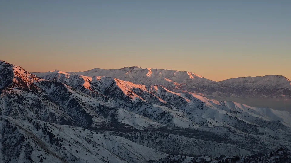
Angren
city · Uzbekistan’s coal capital
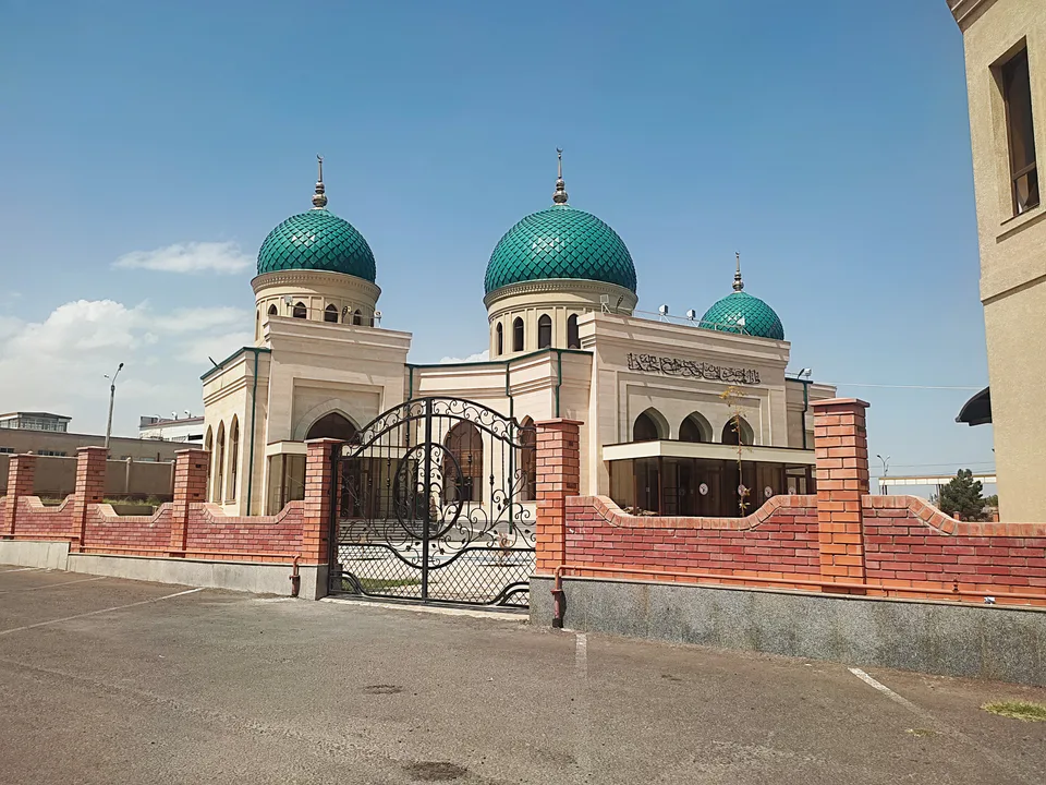
Bekobod
city · A steel town at the gateway of the Syr Darya
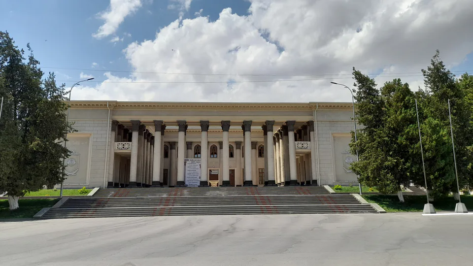
Chirchiq
city · A chemical town at the foot of the mountains
Nurafshon
city · The region’s new capital
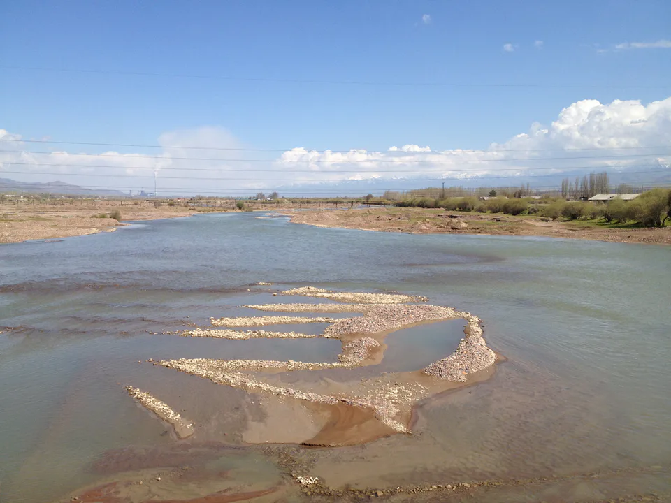
Ohangaron
city · The town of the “blacksmiths”
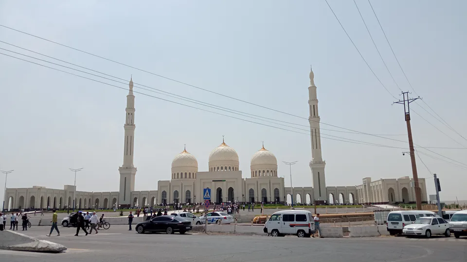
Olmaliq
city · A town of copper and molybdenum
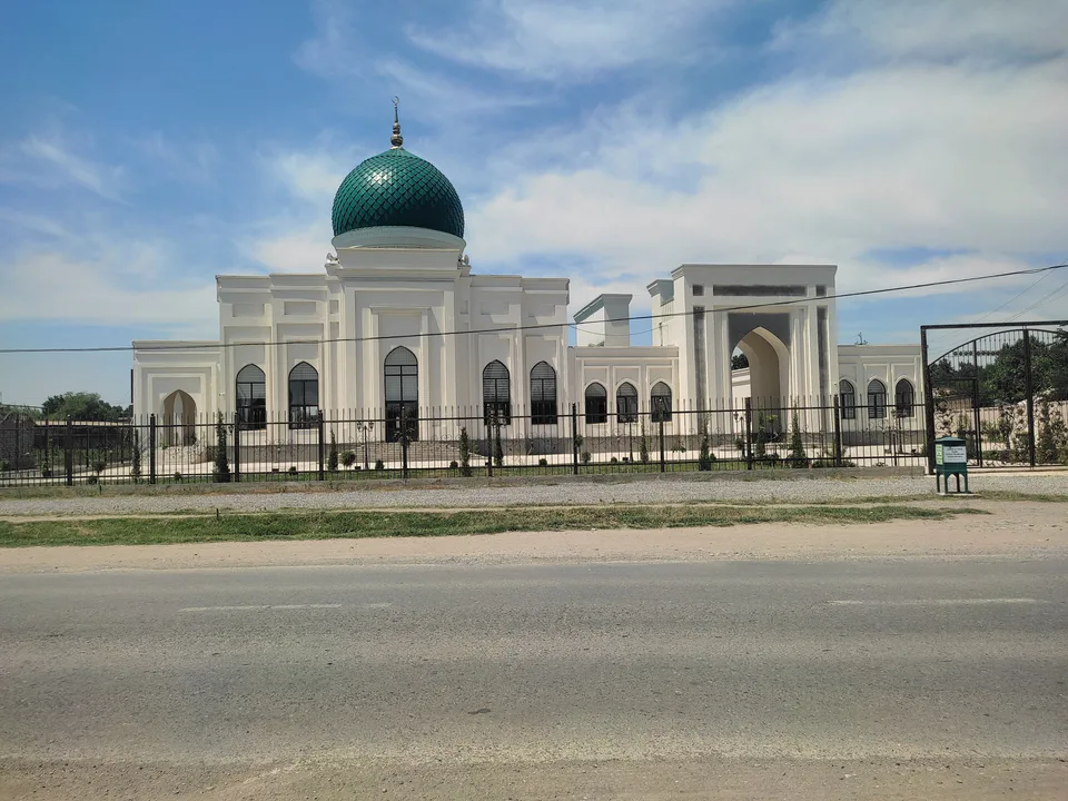
Bekobod District
district · The Dalverzin steppe and the Syr Darya woodlands
Boʻka District
district · Farm country below the Kurama Range
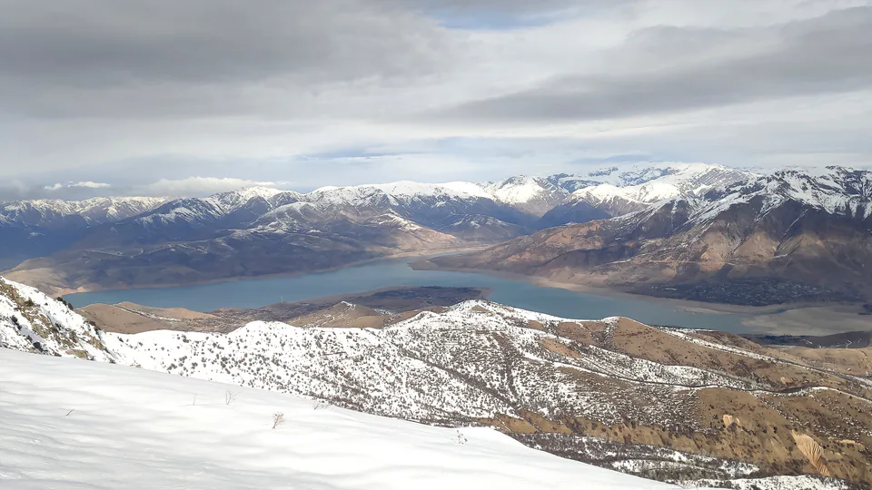
Bostanliq District
district · Uzbekistan’s mountain resort country
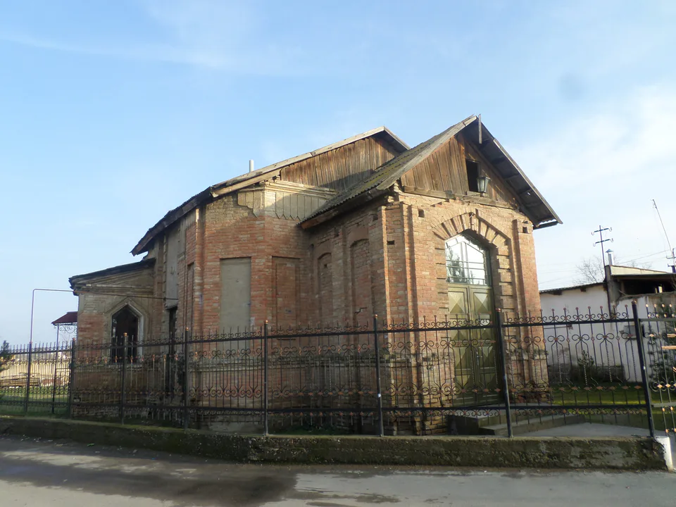
Chinoz District
district · Where the Chirchiq meets the Syr Darya
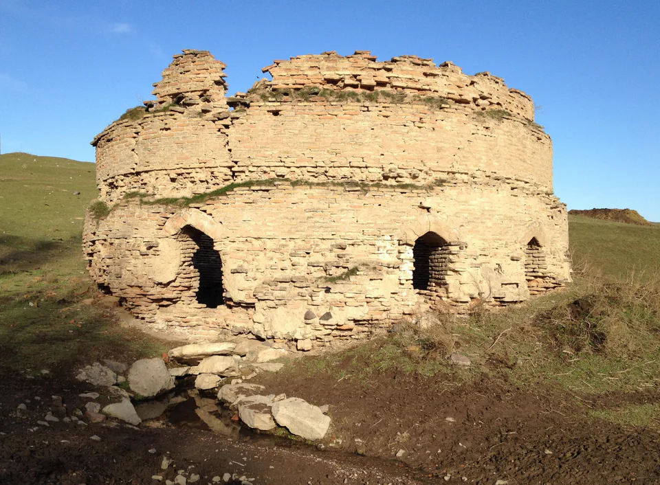
Ohangaron District
district · A valley of mines between the Chatkal and Kurama
Oqqoʻrgʻon District
district · The land of Chach’s first capital
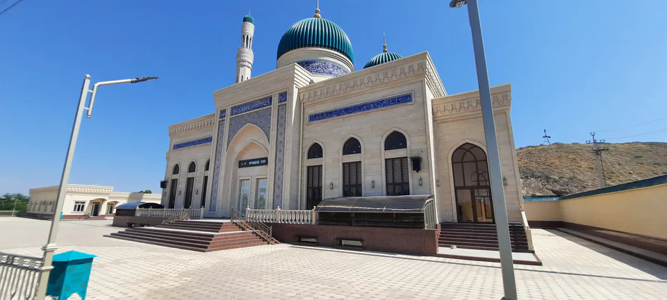
Ortachirchiq District
district · Home of the Korean Polar Star farm
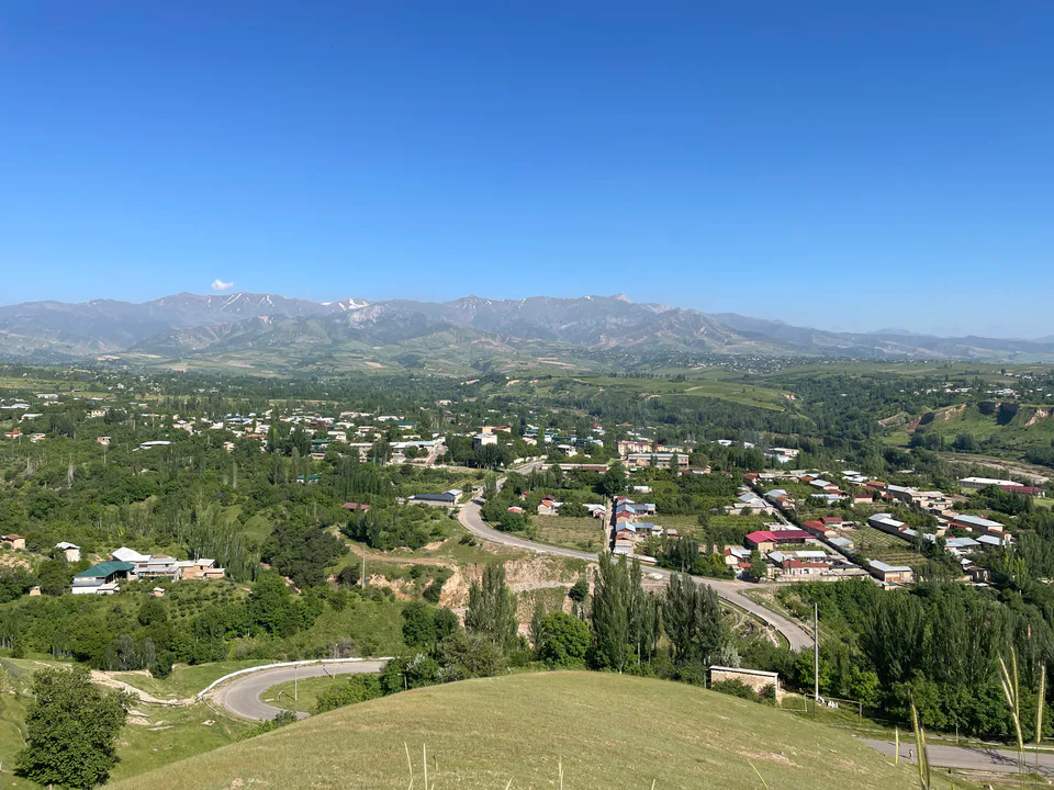
Parkent District
district · The solar furnace and the Chatkal foothills
Piskent District
district · A land of ancient canals below the Kurama
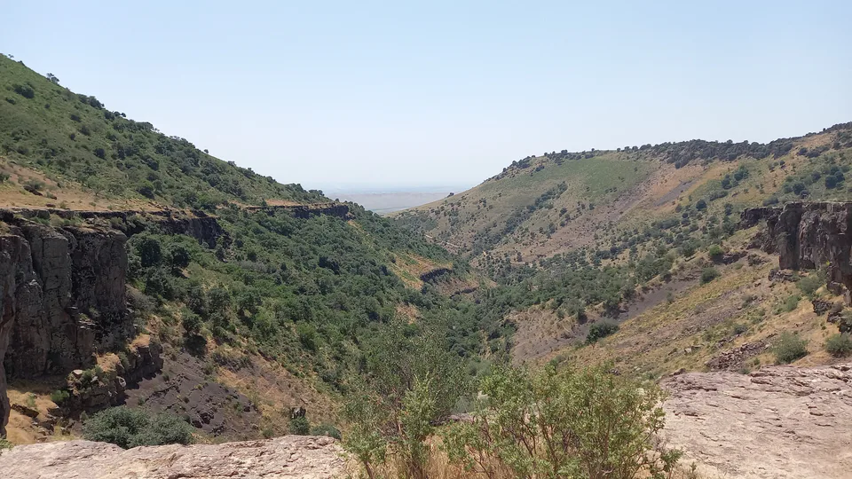
Qibray District
district · The capital’s north-eastern gateway
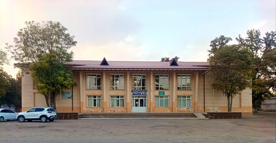
Quyichirchiq District
district · The lower Chirchiq and Akhangaran
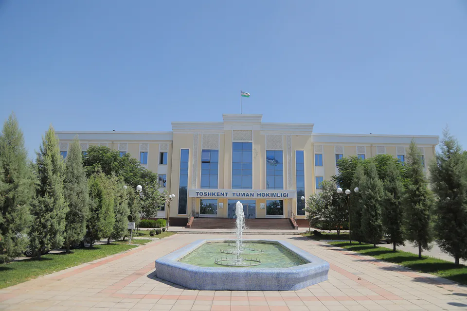
Toshkent District
district · Between the capital and Kazakhstan
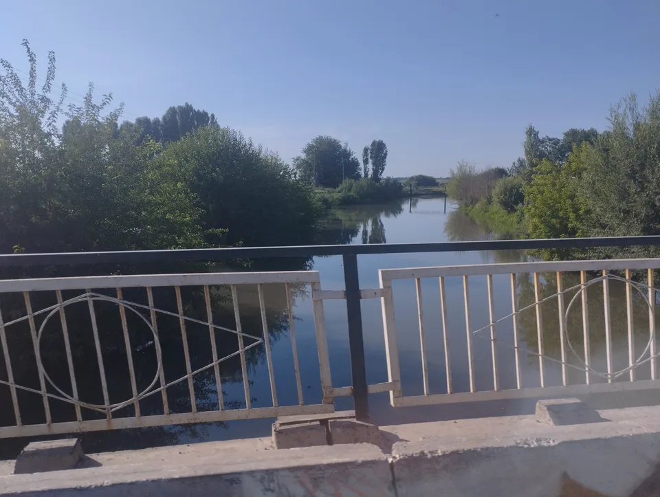
Yangiyoʻl District
district · Orchards on the Chirchiq terraces
Yuqorichirchiq District
district · The Chirchiq bank below the Chatkal
Zangiota District
district · A district named after a sheikh