district · Tashkent Region
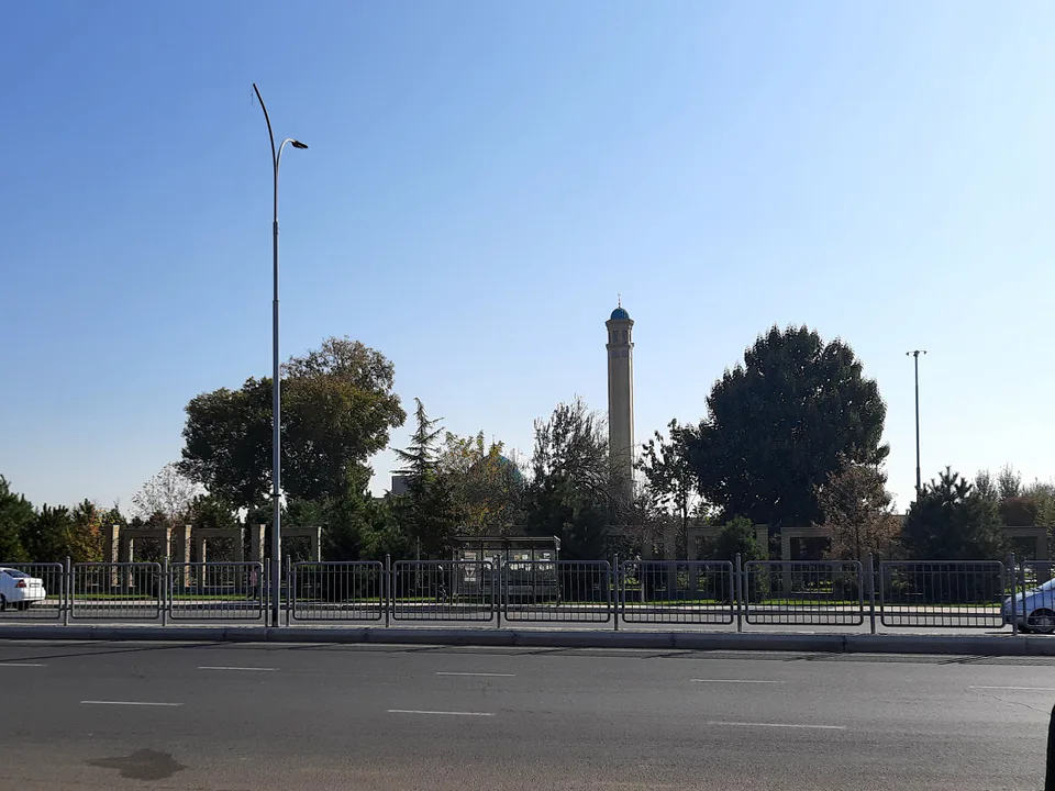
Piskent District
A district in the Kurama foothills on the left bank of the Akhangaran, with ancient canals, upland pastures and the Tuyabuguz Reservoir to the north.
Setting and nature
Piskent District was created on 29 September 1926, abolished in 1962 and restored in 1970. It borders Ohangaron, Ortachirchiq, Oqqoʻrgʻon and Boʻka districts and Tajikistan’s Sughd Region. The land lies in the foothills of the Kurama Range and on the left bank of the Akhangaran, where the Chirchiq–Akhangaran valley begins, ranging from 300 to 2,500 m. Mountains, hills and pastures fill the east, irrigated farmland the west.
History and today
Ancient canals such as the Anhor, Boʻka, Shor and Ortaariq still run through the district, and the Tuyabuguz Reservoir stretches along its northern edge. Sources record that a madrasa was built in Piskent in the 16th century on the orders of Abdullah Khan II, but it was pulled down for bricks to build a school in the 1890s. Piskent became a town in 1966 and has cotton-ginning, concrete and brick works.
Piskent District
Getting there
Airport, railway station and bus stations — addresses, timetables and the live board.
All transportNurafshon Nearest point: Nurafshon, 27 km
10°clear sky
- 10° / 8°
- 0.8 m/s
- 63%
- Today10°8°
- Mon19°5°
- Tue21°7°
- Wed17°10°
- Thu17°10°
Weather: MET Norway
Piskent District
Government offices
Khokimiyat, public service centre and other offices: addresses, phones, hours.
All offices (4)Khokimiyat
Pskent District Khokimiyat
138 Amir Temur St, Pskent District
Read morePublic Service Centre
Pskent District Public Services Center
138 Amir Temur St, Pskent District
Read more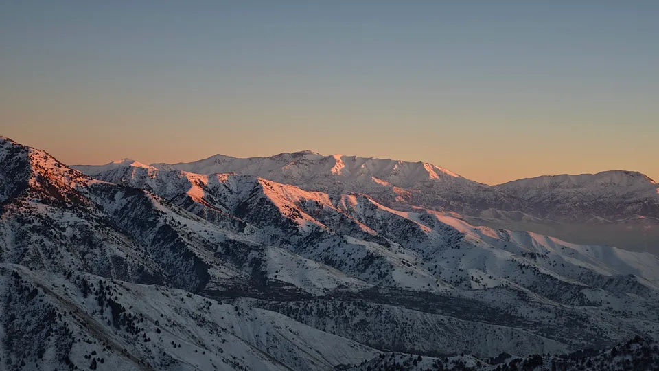
Angren
city · Uzbekistan’s coal capital
Bekobod
city · A steel town at the gateway of the Syr Darya
Chirchiq
city · A chemical town at the foot of the mountains
Nurafshon
city · The region’s new capital
Ohangaron
city · The town of the “blacksmiths”
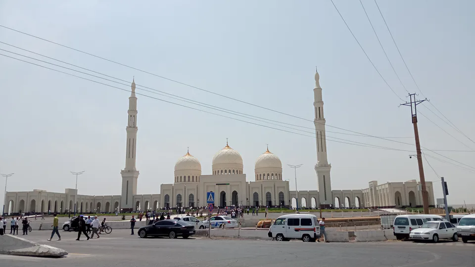
Olmaliq
city · A town of copper and molybdenum
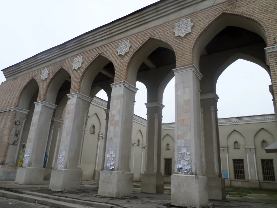
Yangiyoʻl
city · A “new road” on the highway
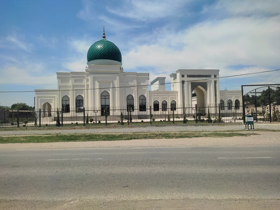
Bekobod District
district · The Dalverzin steppe and the Syr Darya woodlands
Boʻka District
district · Farm country below the Kurama Range
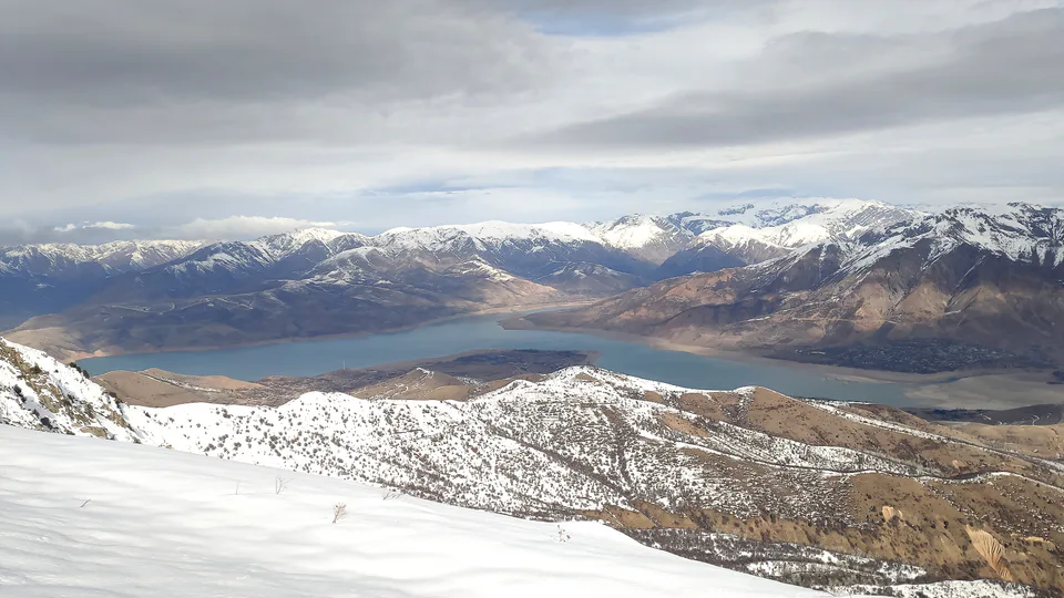
Bostanliq District
district · Uzbekistan’s mountain resort country
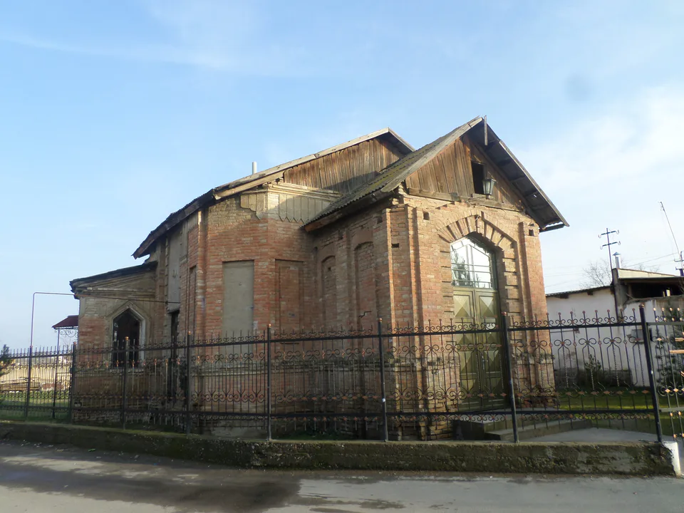
Chinoz District
district · Where the Chirchiq meets the Syr Darya
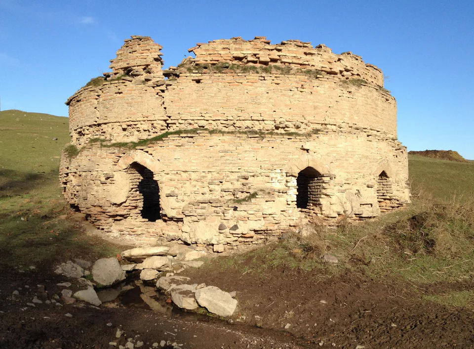
Ohangaron District
district · A valley of mines between the Chatkal and Kurama
Oqqoʻrgʻon District
district · The land of Chach’s first capital
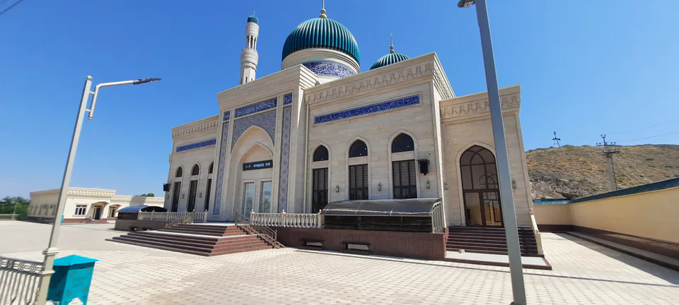
Ortachirchiq District
district · Home of the Korean Polar Star farm
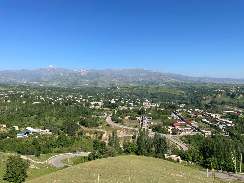
Parkent District
district · The solar furnace and the Chatkal foothills
Qibray District
district · The capital’s north-eastern gateway
Quyichirchiq District
district · The lower Chirchiq and Akhangaran
Toshkent District
district · Between the capital and Kazakhstan
Yangiyoʻl District
district · Orchards on the Chirchiq terraces
Yuqorichirchiq District
district · The Chirchiq bank below the Chatkal
Zangiota District
district · A district named after a sheikh