Museum · Moynaq District
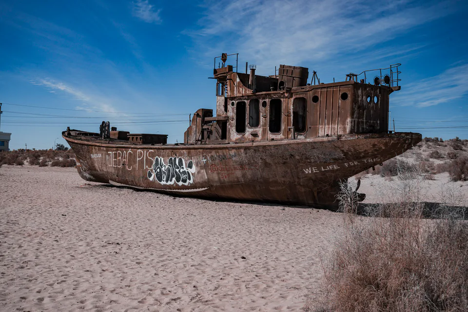
Moynaq Ship Cemetery
The port the sea abandoned
district · Republic of Karakalpakstan
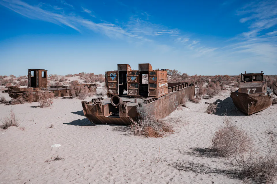
A vast but thinly peopled district spanning the Amu Darya delta and the dried bed of the Aral Sea, with the ship cemetery, the Sudochye lakes and the Aralkum National Park.
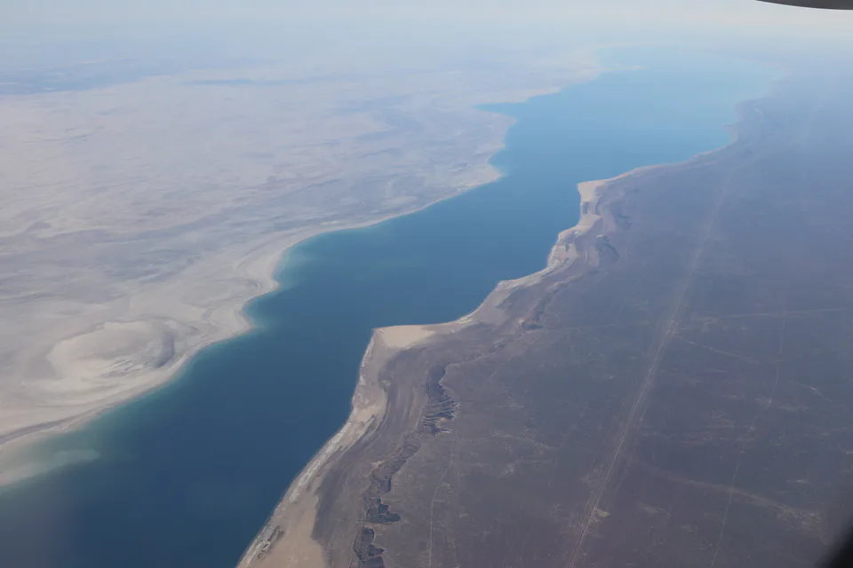
Moynaq District was created on 19 September 1931. It covers the Amu Darya delta and the land south of the Aral Sea, bordering Qoraozak, Chimboy and Bozatau districts and Kazakhstan’s Aktobe and Kyzylorda regions, across 37,940 km² — much of it the Aralkum desert on the old seabed and the lakes of the delta. The population was 34,100 in 2026.
Moynaq became a town in 1963 and was a major Aral fishing port until the mid-1980s; as the sea retreated, the harbour turned into a ship graveyard.
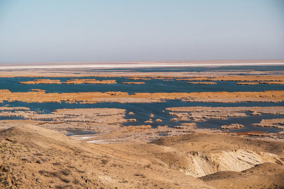
The ship cemetery and local museum, the Aral Sea memorial, the flamingo lakes of Sudochye and the Aralkum National Park on former Vozrozhdeniya Island. Trips across the Ustyurt to the Aral’s western shore start here, and the Stihia festival has been held in Moynaq since 2018.
Moynaq District
Museum · Moynaq District
The port the sea abandoned
Nature · Moynaq District
The vanishing sea
Nature · Moynaq District
Delta lakes where the flamingos returned
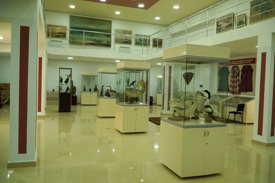
Museum · Moynaq District
A sea that survives in paintings
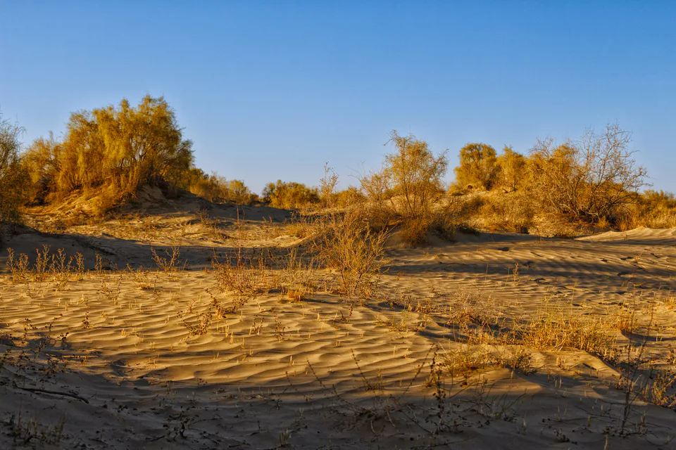
Nature · Moynaq District
Protecting a desert born on a seabed
Moynaq District
Airport, railway station and bus stations — addresses, timetables and the live board.
All transportMoynaq District
Road distance, the fastest train and whether there is a direct flight.
All distancesMoynaq Nearest point: Moynaq, 84 km
8°fair
Weather: MET Norway
Moynaq District
Checked hotels and places to eat — with addresses, phone numbers, opening hours and price levels.
Moynaq District
Khokimiyat, public service centre and other offices: addresses, phones, hours.
All offices (4)Khokimiyat
76 Ajiniyaz St, Muynak District
Mon–Fri 9:00–18:00
Read morePublic Service Centre
Ajiniyaz St, Muynak District
Read moreCities and districts
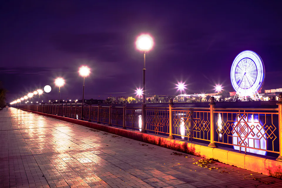
city · Capital of Karakalpakstan and a treasure house of art
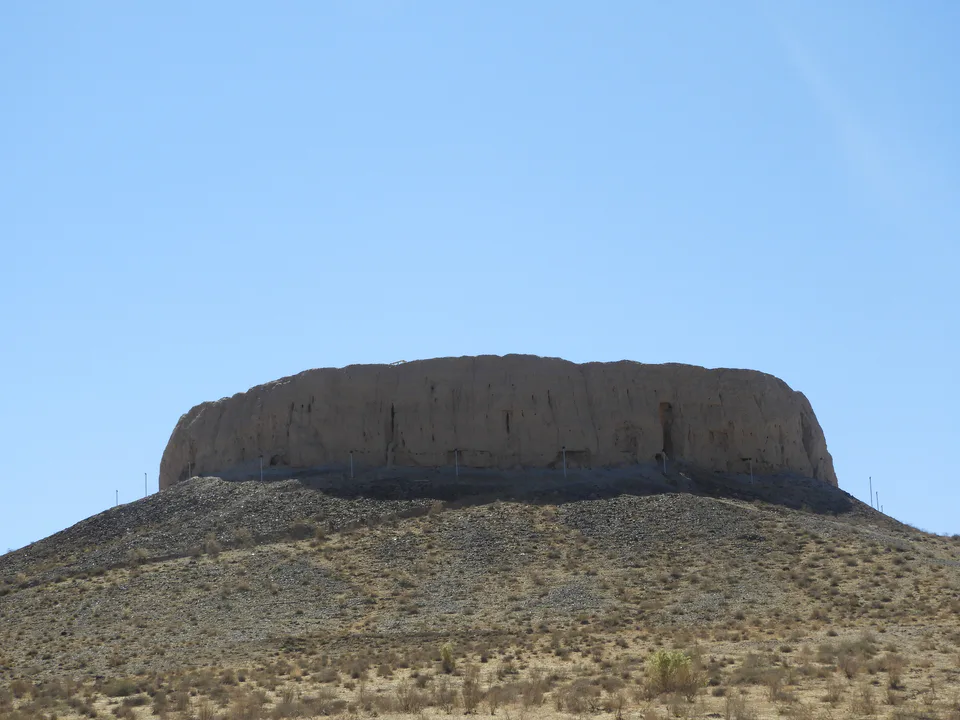
district · Home of the Chilpik dakhma
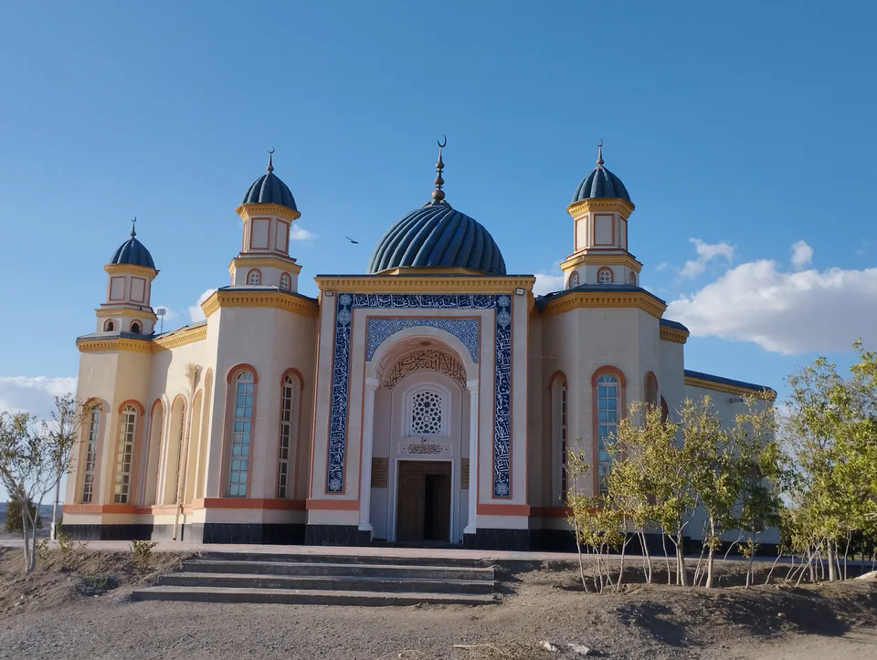
district · Al-Biruni’s birthplace — ancient Kath
district · The delta’s smallest district
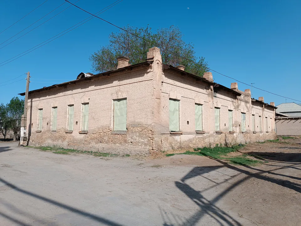
district · An old market town on the Kegeyli canal
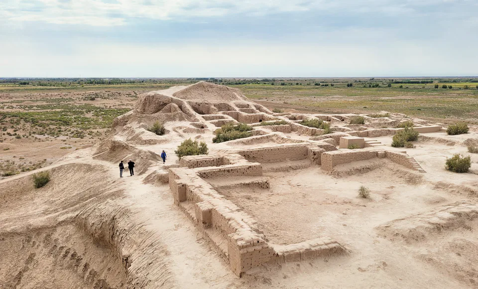
district · The oasis of “fifty fortresses”
district · A canal shaded by kegay trees
district · Ancient mounds around the capital
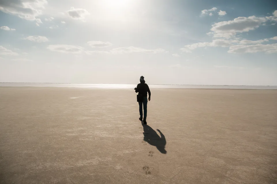
district · The largest district, covering the Ustyurt
district · Among the dry channels of the Amu Darya
district · The Beltau sands and the channels of the Amu Darya
district · A farming oasis at the foot of the Ustyurt
district · A power town on the Amu Darya
district · Between the Kyzylkum and the Akpetki lakes
district · Karakalpakstan’s first capital
district · Beside the hills of Mizdahkan