district · Republic of Karakalpakstan
Nukus District
The district wrapping around Nukus to the north, centred on Akmangit, notable for the ruined ancient towns of Hayvan Kala (Kerder) and Tok Kala.
Setting and history
Nukus District was created on 25 December 1968. It borders Khojeyli to the west, Qanlikol across the Amu Darya to the northwest, Qoraozak to the east, Kegeyli to the northeast, Bozatau to the north and Amudaryo to the southeast, covering about 1,000 km² in the centre of Karakalpakstan — river lowland in the west, sandy ridges and hills in the east. It had 55,900 residents in 2026.
What to see
Hayvan Kala, in the centre of the Kerder farm, is the ruin of an ancient town known in written sources as Kerder (Kurder); its name is thought to derive from the Persian ayvan, a porch or gallery. Tok Kala on Toktau hill preserves ancient and early medieval layers and a cemetery. Qirontau hill and the Edige recreation area are nearby.
Nukus District
Getting there
Airport, railway station and bus stations — addresses, timetables and the live board.
All transportNukus Nearest point: Nukus, 14 km
8°partly cloudy
- 8° / 7°
- 6.3 m/s
- 38%
- Today8°7°
- Mon12°3°
- Tue13°2°
- Wed14°3°
- Thu13°5°
Weather: MET Norway
Nukus District
Government offices
Khokimiyat, public service centre and other offices: addresses, phones, hours.
All offices (4)Khokimiyat
Nukus District Khokimiyat
32 Darsan St, Akmangit, Nukus District
Read morePublic Service Centre
Nukus District Public Services Centre
Uzbekistan St, Nukus District
Read moreCities and districts
Other cities and districts in Republic of Karakalpakstan
Republic of Karakalpakstan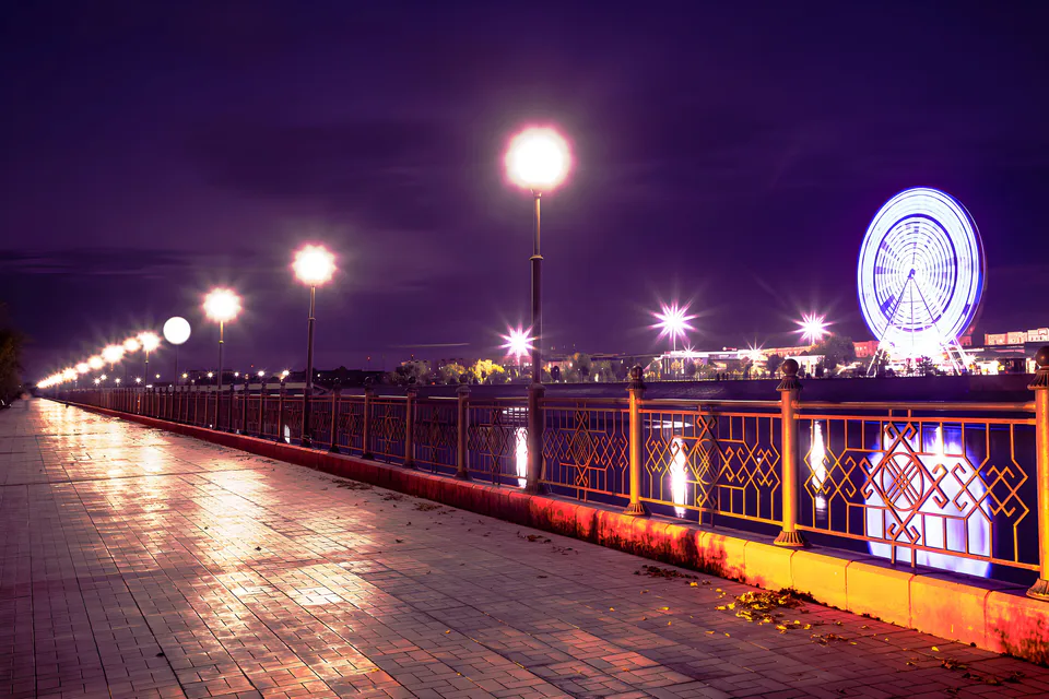
Nukus
city · Capital of Karakalpakstan and a treasure house of art
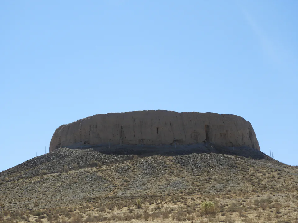
Amudaryo District
district · Home of the Chilpik dakhma
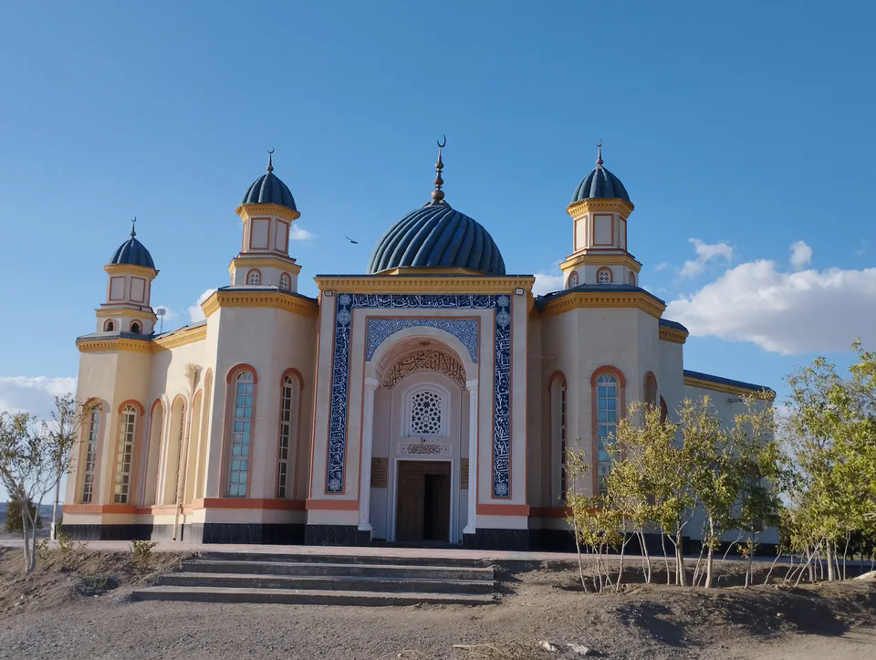
Beruniy District
district · Al-Biruni’s birthplace — ancient Kath
Bozatau District
district · The delta’s smallest district
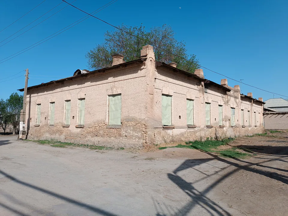
Chimboy District
district · An old market town on the Kegeyli canal
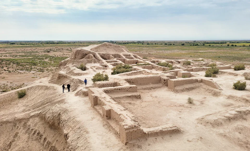
Ellikqala District
district · The oasis of “fifty fortresses”
Kegeyli District
district · A canal shaded by kegay trees
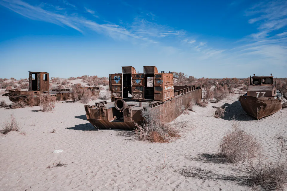
Moynaq District
district · The former shore of the Aral Sea
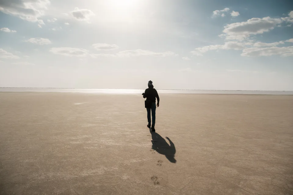
Qo‘ng‘irot District
district · The largest district, covering the Ustyurt
Qanlikol District
district · Among the dry channels of the Amu Darya
Qoraozak District
district · The Beltau sands and the channels of the Amu Darya
Shumanay District
district · A farming oasis at the foot of the Ustyurt
Taxiatosh District
district · A power town on the Amu Darya
Taxtakopir District
district · Between the Kyzylkum and the Akpetki lakes
Turtkul District
district · Karakalpakstan’s first capital
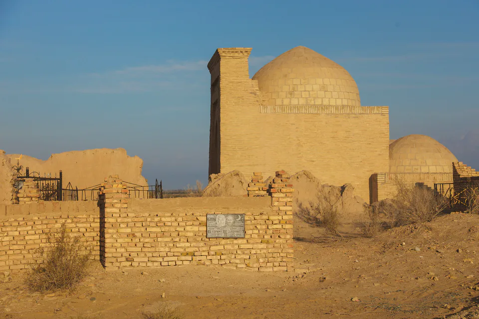
Khojeyli District
district · Beside the hills of Mizdahkan