district · Republic of Karakalpakstan
Bozatau District
Karakalpakstan’s least populous district, in the heart of the Amu Darya delta. Abolished several times and re-established in 2019–2020, it holds the grave of the poet Berdakh.
Setting and history
First created in April 1979, Bozatau District was abolished in 1988, restored in 1990, abolished again in 2004 and re-established in 2019–2020. It borders Moynaq to the north, Qo‘ng‘irot and Qanlikol to the west, Chimboy and Kegeyli to the east and Nukus District to the south, covering 1,980 km², with its centre at Kazanketken.
The land is a mosaic of delta plains, lakes and reed beds. Only 21,800 people lived here in 2026, mostly Karakalpaks, Uzbeks and Kazakhs who herd, fish and farm. In the north of the district, beside the Karakum Ishan shrine, lies the grave of the great Karakalpak poet Berdakh.
Bozatau District
Getting there
Airport, railway station and bus stations — addresses, timetables and the live board.
All transportNukus Nearest point: Nukus, 73 km
8°partly cloudy
- 8° / 7°
- 6 m/s
- 37%
- Today8°7°
- Mon12°3°
- Tue13°2°
- Wed14°3°
- Thu13°5°
Weather: MET Norway
Bozatau District
Government offices
Khokimiyat, public service centre and other offices: addresses, phones, hours.
All offices (3)Khokimiyat
Bozatau District Khokimiyat
10 Amir Temur St, Bozatau District
Read morePublic Service Centre
Bozatau District Public Services Centre
1 Amir Temur St, Bozatau District
Read moreCities and districts
Other cities and districts in Republic of Karakalpakstan
Republic of Karakalpakstan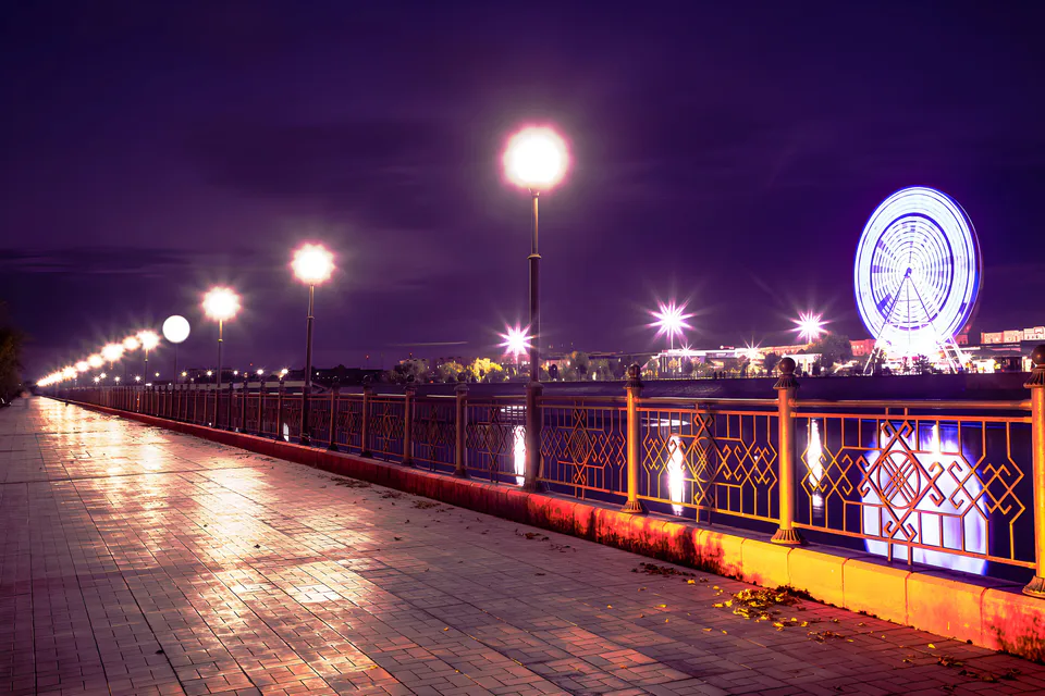
Nukus
city · Capital of Karakalpakstan and a treasure house of art
Amudaryo District
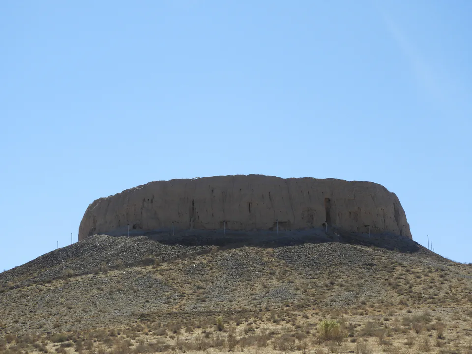
district · Home of the Chilpik dakhma
Beruniy District
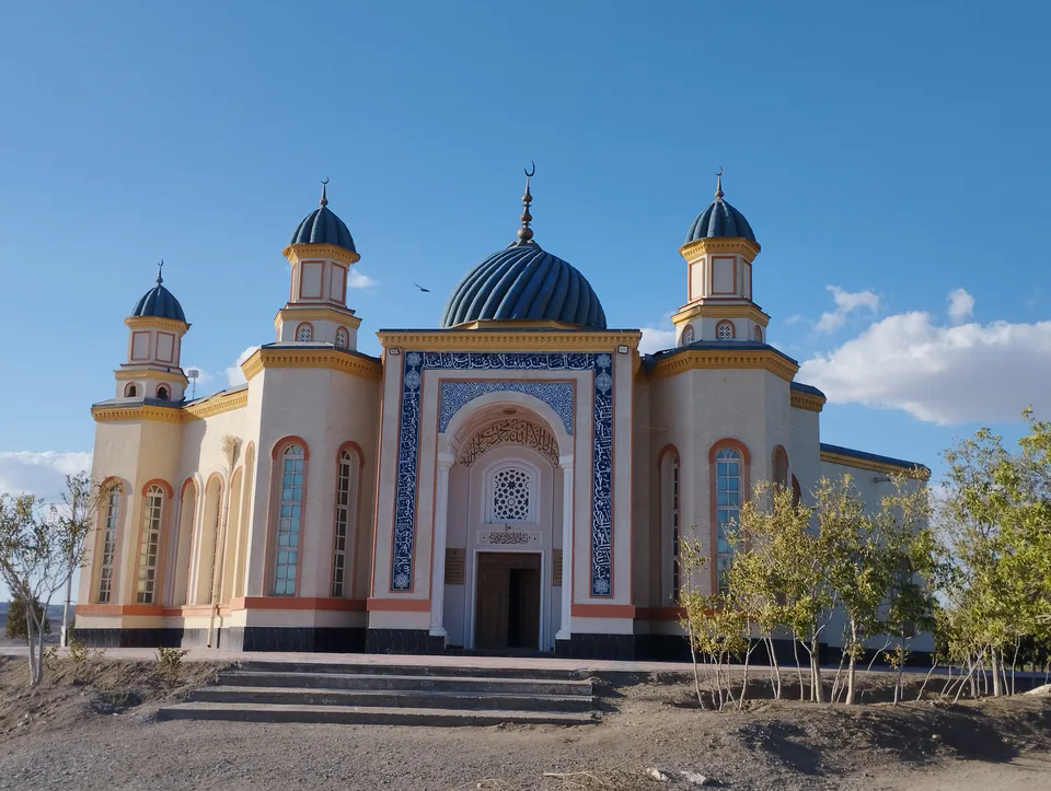
district · Al-Biruni’s birthplace — ancient Kath
Chimboy District
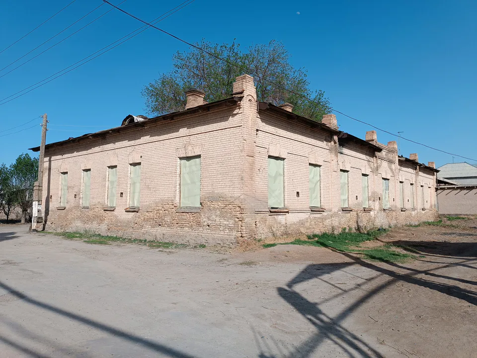
district · An old market town on the Kegeyli canal
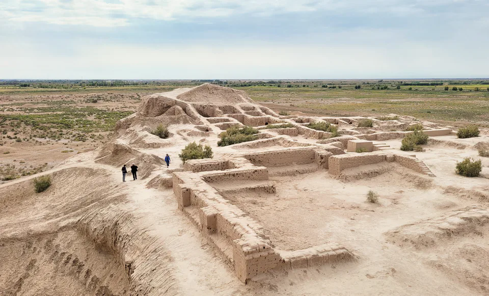
Ellikqala District
district · The oasis of “fifty fortresses”
Kegeyli District
district · A canal shaded by kegay trees
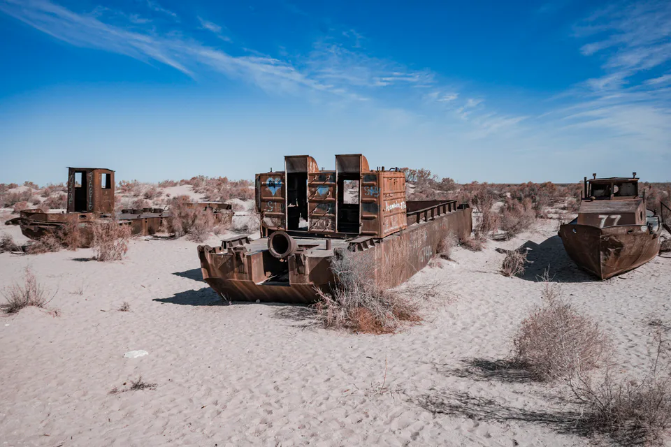
Moynaq District
district · The former shore of the Aral Sea
Nukus District
district · Ancient mounds around the capital
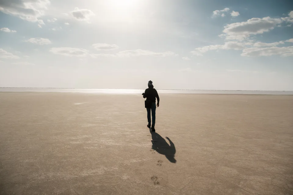
Qo‘ng‘irot District
district · The largest district, covering the Ustyurt
Qanlikol District
district · Among the dry channels of the Amu Darya
Qoraozak District
district · The Beltau sands and the channels of the Amu Darya
Shumanay District
district · A farming oasis at the foot of the Ustyurt
Taxiatosh District
district · A power town on the Amu Darya
Taxtakopir District
district · Between the Kyzylkum and the Akpetki lakes
Turtkul District
district · Karakalpakstan’s first capital
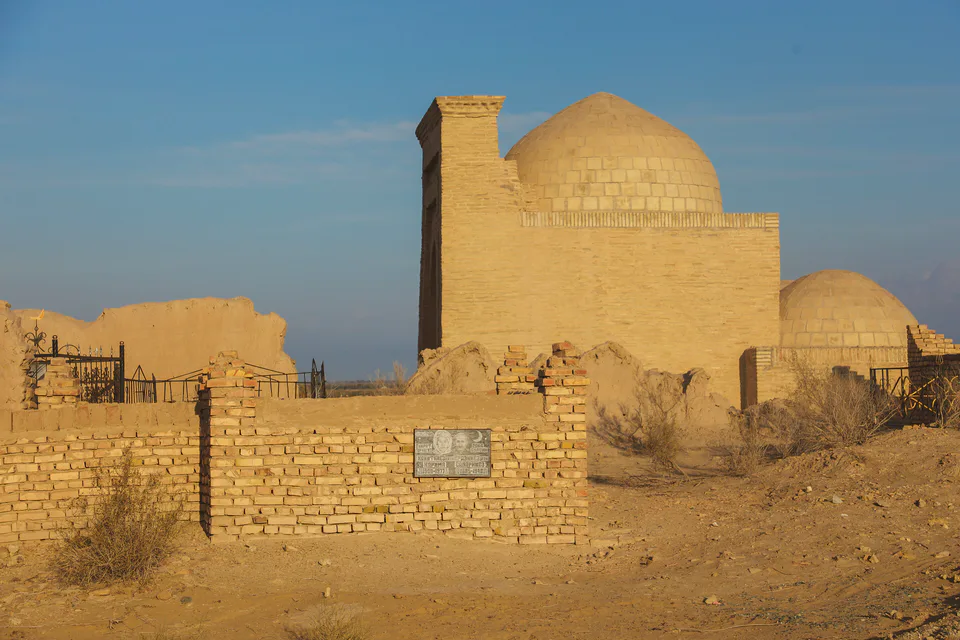
Khojeyli District
district · Beside the hills of Mizdahkan