district · Republic of Karakalpakstan
Kegeyli District
A farming district north of Nukus, named after the Kegeyli canal once lined with kegay trees, with the historic Ishan Kala and Kumozek complexes near Khalkabad.
Setting and history
Kegeyli District was split off from Chimboy on 3 September 1928. It borders Chimboy, Nukus, Qoraozak and Bozatau districts and covers 940 km², with the town of Khalkabad and its centre, the settlement of Kegeyli. Both take their name from the Kegeyli canal, whose banks are said to have been lined with kegay and turanga poplar trees.
The district lies on the low right-bank plain of the lower Amu Darya, and its 75,900 residents (2026) grow cotton and rice and raise livestock. Near Khalkabad survive the Ishan Kala fort and the Kumozek historical and architectural complex.
Kegeyli District
Getting there
Airport, railway station and bus stations — addresses, timetables and the live board.
All transportNukus Nearest point: Nukus, 35 km
8°partly cloudy
- 8° / 7°
- 6.3 m/s
- 38%
- Today8°7°
- Mon12°3°
- Tue13°2°
- Wed14°3°
- Thu13°5°
Weather: MET Norway
Kegeyli District
Government offices
Khokimiyat, public service centre and other offices: addresses, phones, hours.
All offices (4)Khokimiyat
Kegeyli District Khokimiyat
4 Garezsizlik St, Kegeyli District
Read morePublic Service Centre
Kegeyli District Public Services Centre
Dustlik Guzar, Kegeyli District
Read moreCities and districts
Other cities and districts in Republic of Karakalpakstan
Republic of Karakalpakstan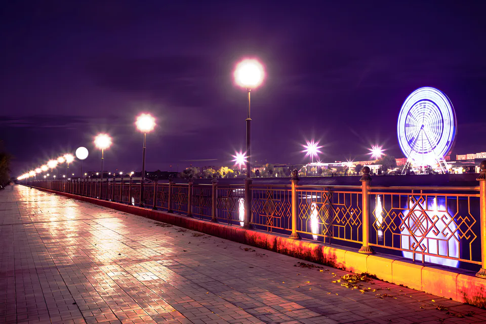
Nukus
city · Capital of Karakalpakstan and a treasure house of art
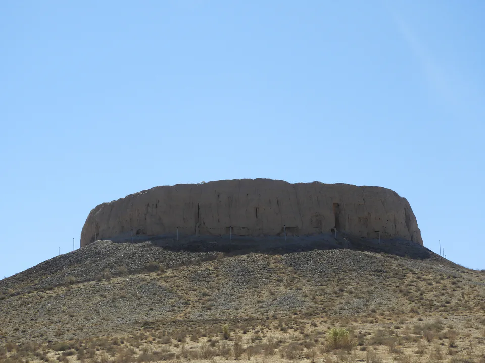
Amudaryo District
district · Home of the Chilpik dakhma
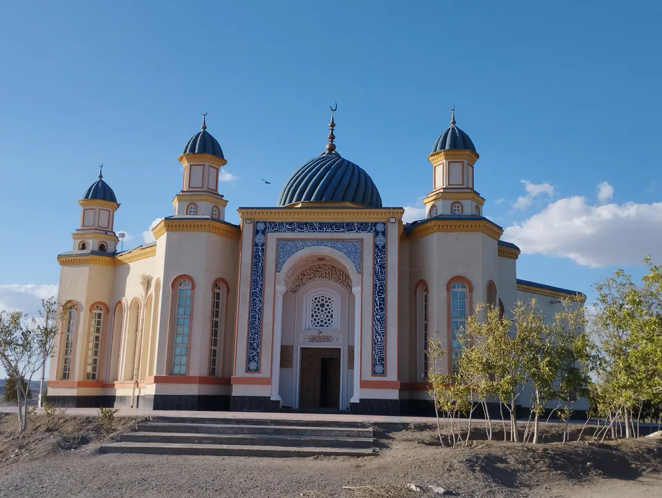
Beruniy District
district · Al-Biruni’s birthplace — ancient Kath
Bozatau District
district · The delta’s smallest district
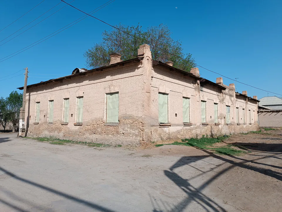
Chimboy District
district · An old market town on the Kegeyli canal
Ellikqala District
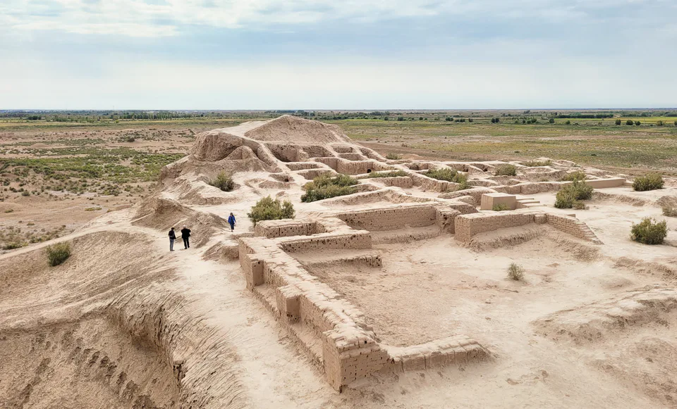
district · The oasis of “fifty fortresses”
Moynaq District
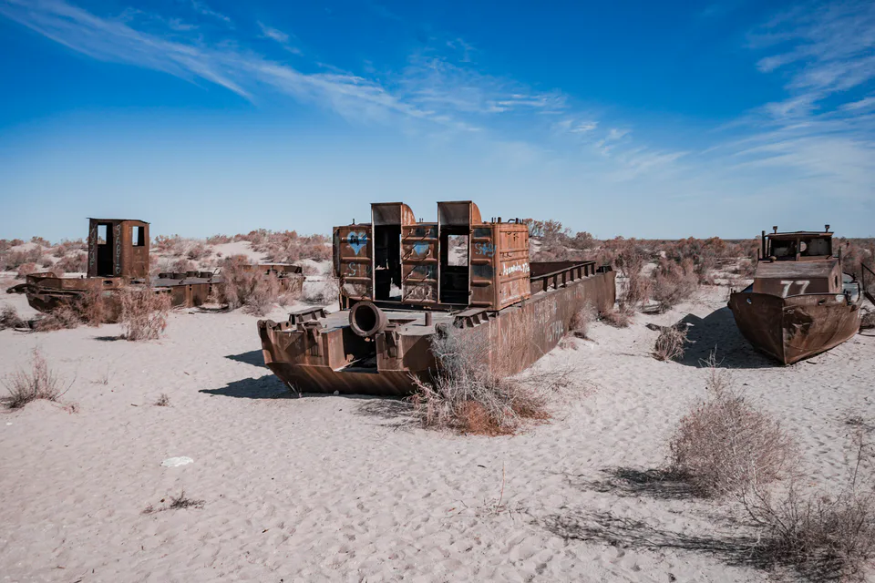
district · The former shore of the Aral Sea
Nukus District
district · Ancient mounds around the capital
Qo‘ng‘irot District
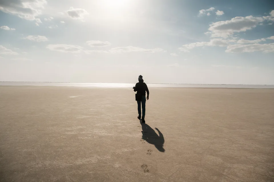
district · The largest district, covering the Ustyurt
Qanlikol District
district · Among the dry channels of the Amu Darya
Qoraozak District
district · The Beltau sands and the channels of the Amu Darya
Shumanay District
district · A farming oasis at the foot of the Ustyurt
Taxiatosh District
district · A power town on the Amu Darya
Taxtakopir District
district · Between the Kyzylkum and the Akpetki lakes
Turtkul District
district · Karakalpakstan’s first capital
Khojeyli District
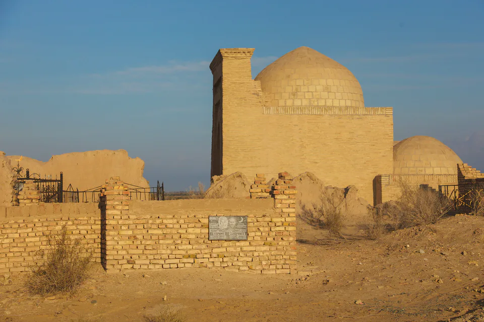
district · Beside the hills of Mizdahkan