Archaeology · Turtkul District
Janbas Kala
An ancient township built around a fire temple
district · Republic of Karakalpakstan
The republic’s most populous district, whose centre Turtkul was capital of the Karakalpak autonomy in 1925–1932. Ancient sites include Janbas Kala and Koi Krylgan Kala.
Turtkul District lies on the right bank of the Amu Darya on a plain 169–206 metres above sea level, bordering Ellikqala to the west, Xorazm to the southwest and the Navoiy and Bukhara regions to the east, across 7,480 km² watered by the Pakhtaarna, Bogyop, Kaltaminor and other canals. With 236,100 residents in 2026 it is Karakalpakstan’s most populous district.
Turtkul, formerly Petro-Alexandrovsk, was the seat of the Russian Empire’s Amu Darya department in the late 19th century and in 1925 became the centre of the Karakalpak autonomous region — until the river began eating away its banks and the capital moved to Nukus in 1932.
The southern sites of the Ellikqala oasis are here: Janbas Kala (4th century BCE–2nd century CE), the round temple of Koi Krylgan Kala, and the ruins of Angka Kala, Bazar Kala and Adamli Kala. The Stone Age site of Janbas-4 was found near Janbas Kala.
Turtkul District
Airport, railway station and bus stations — addresses, timetables and the live board.
All transportUrgench Nearest point: Urgench, 69 km
8°partly cloudy
Weather: MET Norway
Turtkul District
Khokimiyat, public service centre and other offices: addresses, phones, hours.
All offices (4)Khokimiyat
53 Turtkul St, Turtkul, Turtkul District
Read morePublic Service Centre
Nukus St, Turtkul District
Read moreTurtkul District
Codes of the post offices in this city or district.
All postcodes (12)Cities and districts
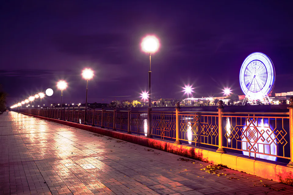
city · Capital of Karakalpakstan and a treasure house of art
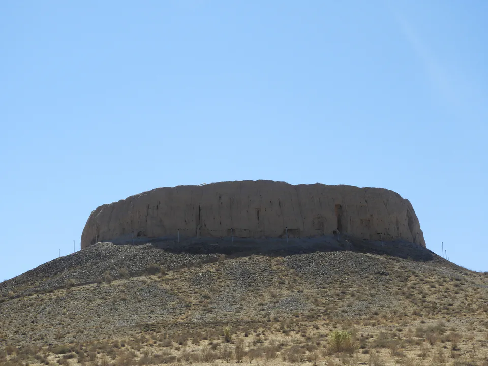
district · Home of the Chilpik dakhma
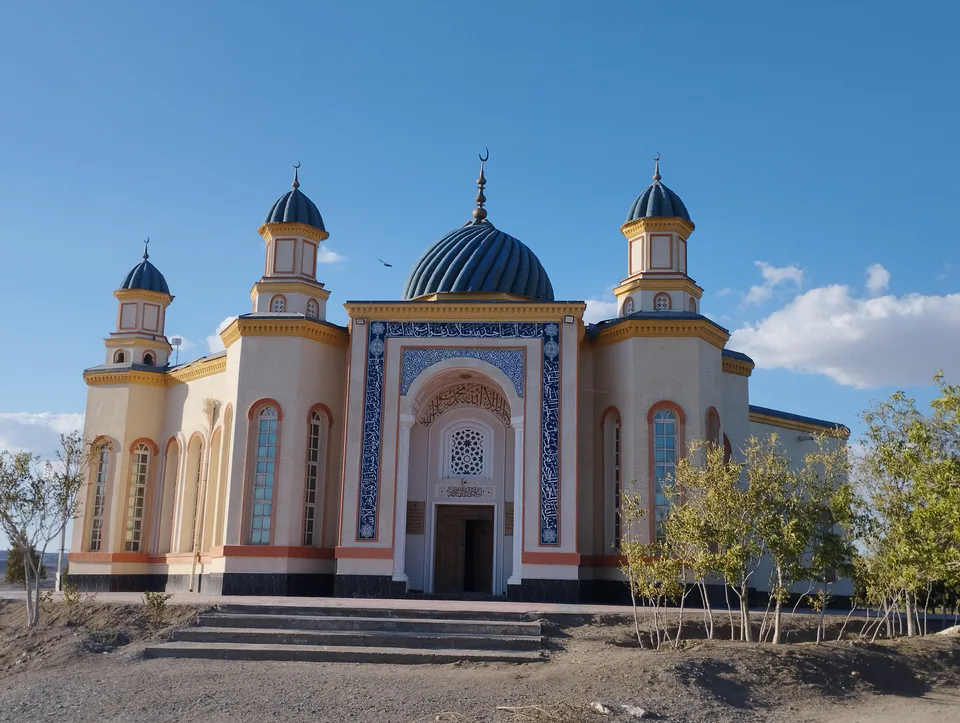
district · Al-Biruni’s birthplace — ancient Kath
district · The delta’s smallest district
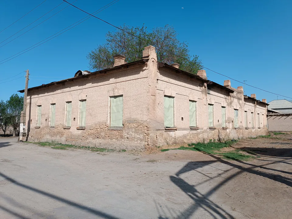
district · An old market town on the Kegeyli canal
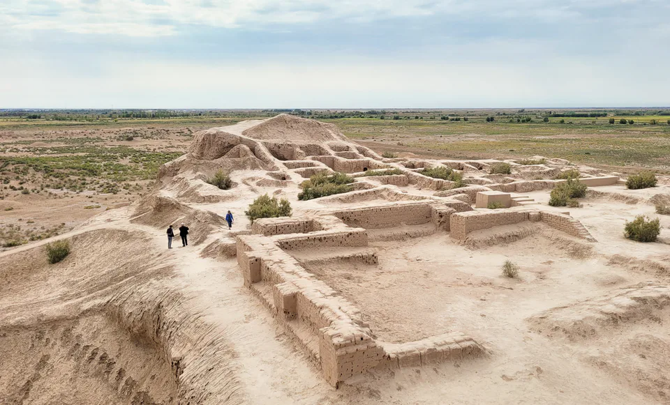
district · The oasis of “fifty fortresses”
district · A canal shaded by kegay trees
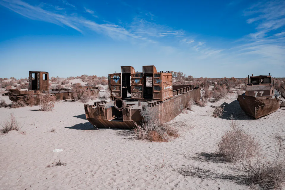
district · The former shore of the Aral Sea
district · Ancient mounds around the capital
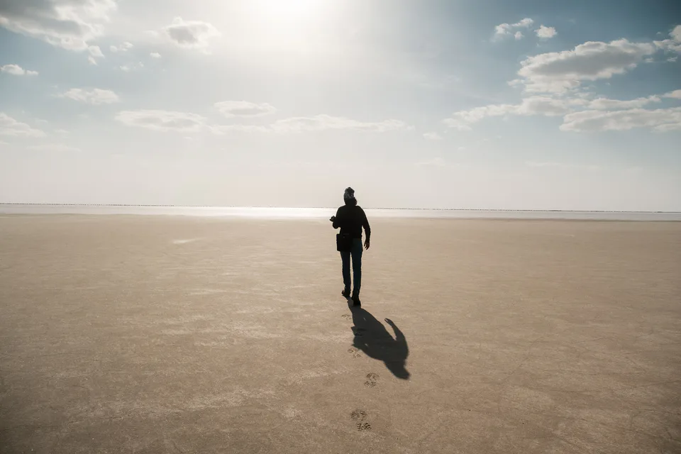
district · The largest district, covering the Ustyurt
district · Among the dry channels of the Amu Darya
district · The Beltau sands and the channels of the Amu Darya
district · A farming oasis at the foot of the Ustyurt
district · A power town on the Amu Darya
district · Between the Kyzylkum and the Akpetki lakes
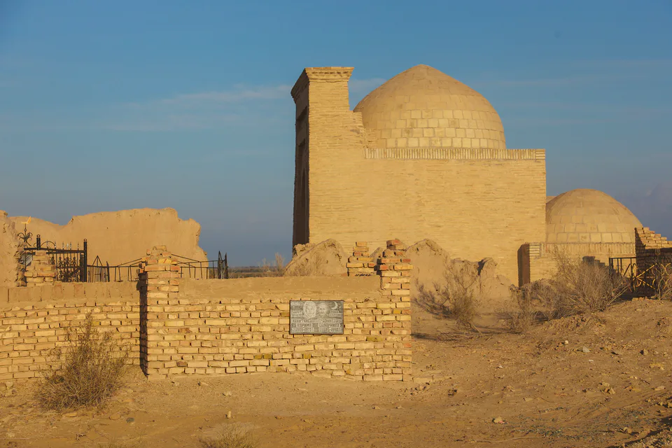
district · Beside the hills of Mizdahkan