Archaeology · Khojeyli District
Mizdahkan
Adam’s grave and the holy hills of Khorezm
district · Republic of Karakalpakstan
A district on the left bank of the Amu Darya by the Turkmen border, centred on the town of Khojeyli. Mizdahkan, Gyaur Kala and the Mazlumkhan Sulu Mausoleum are among Karakalpakstan’s key monuments.
Khojeyli District was formed on 14 January 1926. It lies on the left bank of the Amu Darya, bordering Nukus to the north, Qanlikol and Shumanay to the northwest and Turkmenistan’s Konye-Urgench district to the west and south. Taxiatosh District was carved out of it in 2017, leaving about 558 km² by OSM boundaries. It had 131,300 residents in 2026, and its continental climate brings January averages of −6.9 °C.
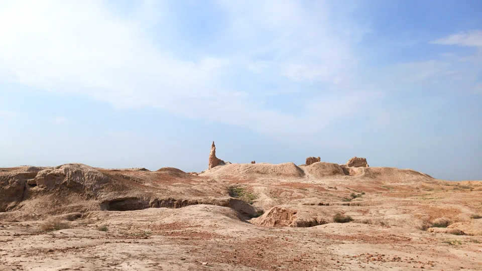
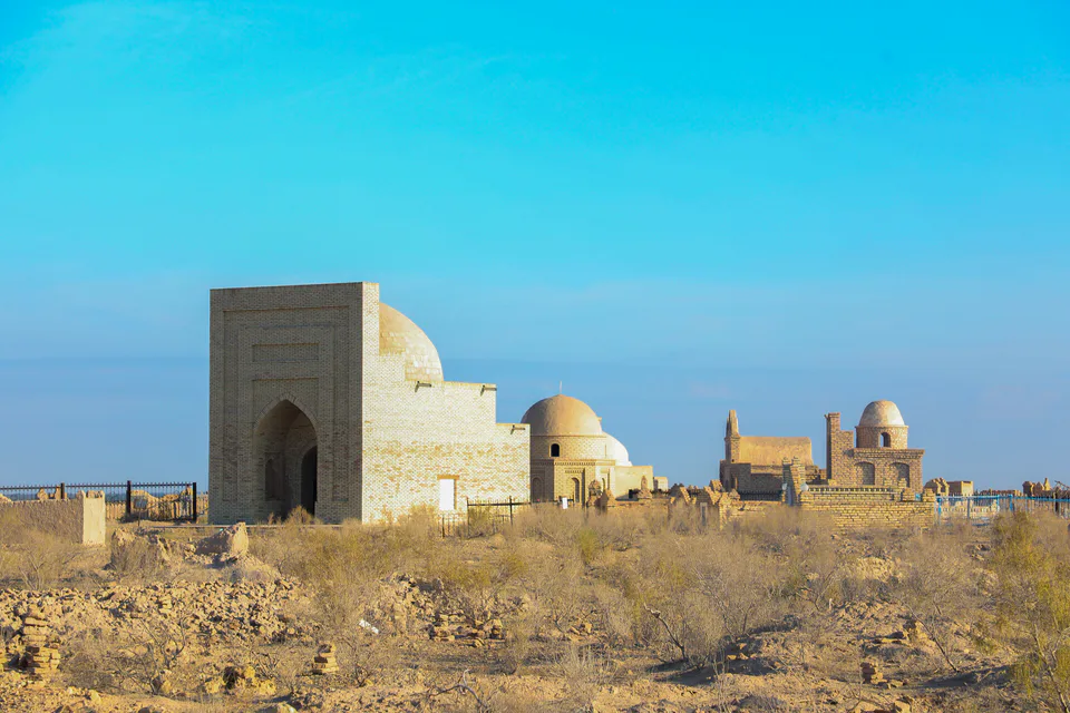
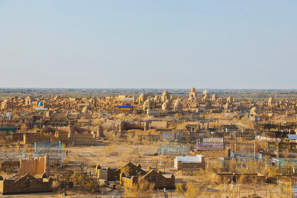
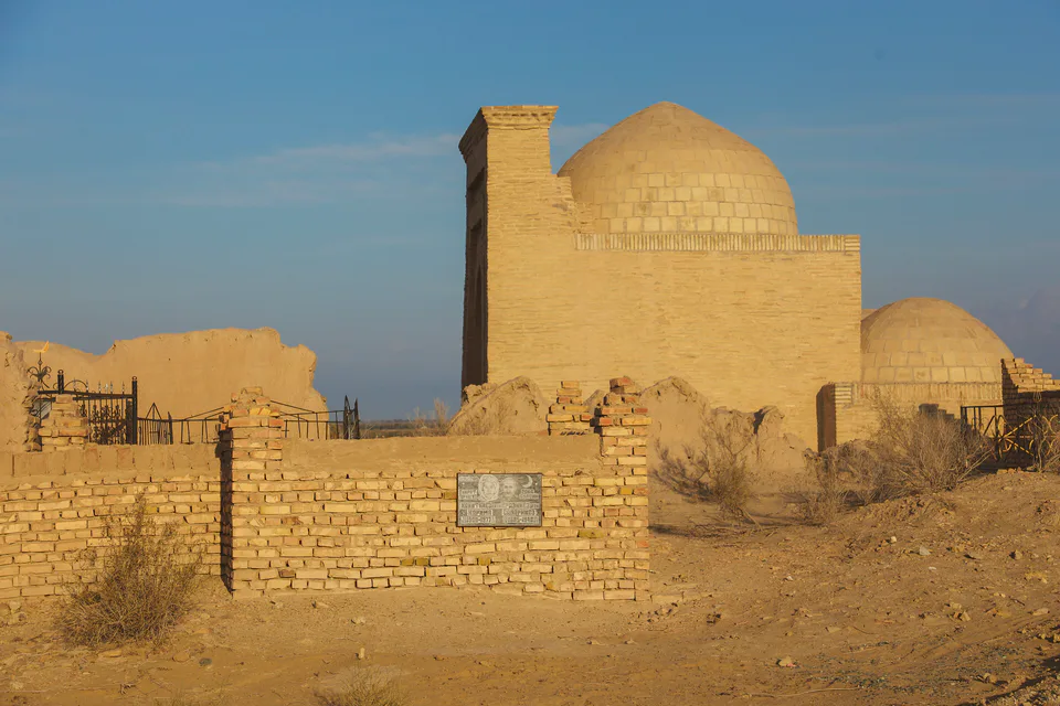
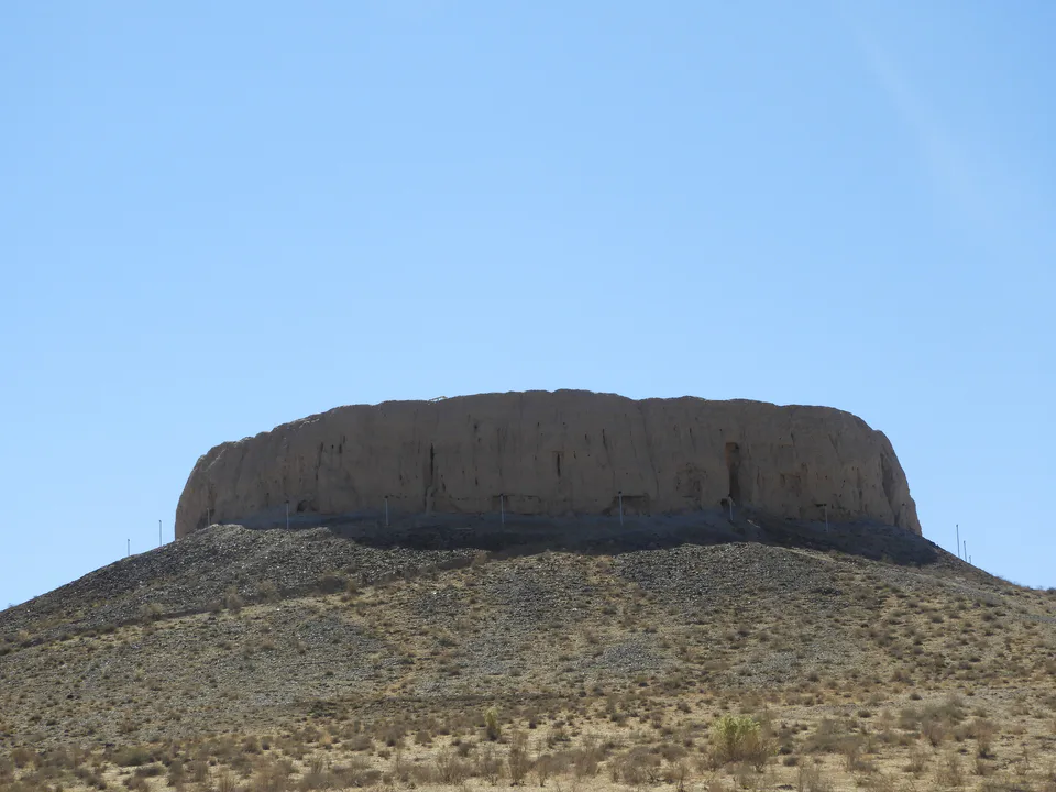
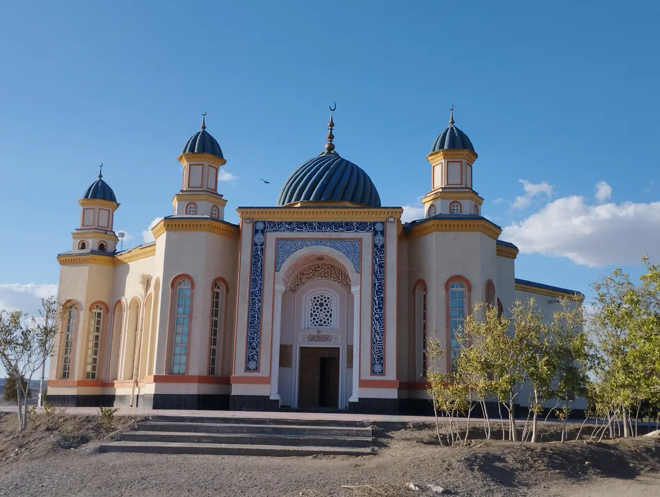
Some 7–8 km west of Khojeyli lies Mizdahkan, the ruins of a medieval city and an ancient necropolis: the Gyaur Kala and Jumart Kassab mounds, the late-13th–early-14th-century Mazlumkhan Sulu Mausoleum, the Shamun Nabi mausoleum, the Khalifa Rajab mosque-mausoleum and the Kyrk Shopan memorial. Legend says Adam is buried here.
Khojeyli District
Khojeyli District
Airport, railway station and bus stations — addresses, timetables and the live board.
All transportNukus Nearest point: Nukus, 19 km
8°partly cloudy
Weather: MET Norway
Khojeyli District
Khokimiyat, public service centre and other offices: addresses, phones, hours.
All offices (4)Khokimiyat
14 Mustaqillik St, Khodjeyli District
Read morePublic Service Centre
35A Mustaqillik St, Khodjeyli District
Read moreKhojeyli District
Codes of the post offices in this city or district.
All postcodes (4)Cities and districts
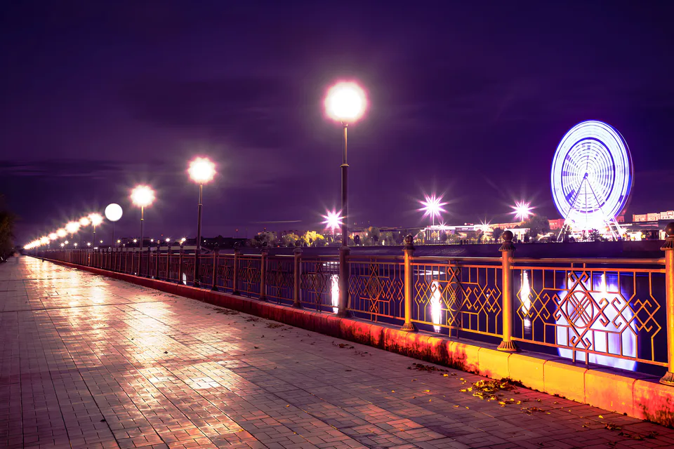
city · Capital of Karakalpakstan and a treasure house of art
district · Home of the Chilpik dakhma
district · Al-Biruni’s birthplace — ancient Kath
district · The delta’s smallest district
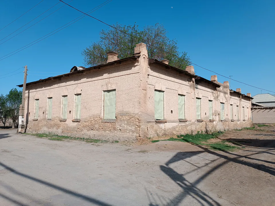
district · An old market town on the Kegeyli canal
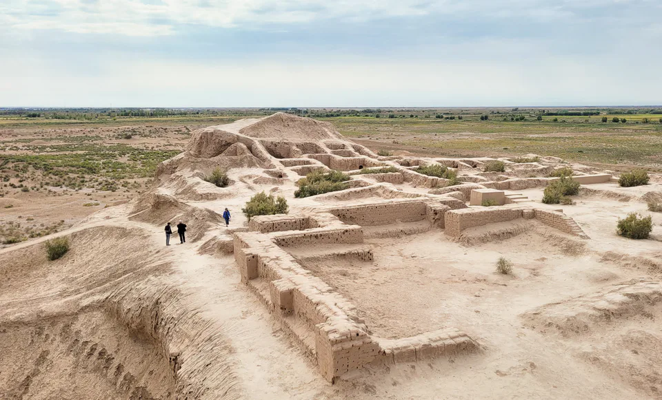
district · The oasis of “fifty fortresses”
district · A canal shaded by kegay trees
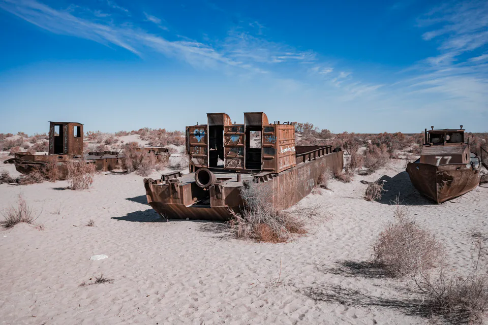
district · The former shore of the Aral Sea
district · Ancient mounds around the capital
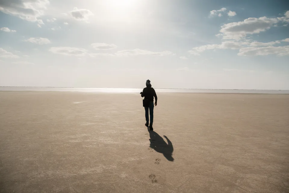
district · The largest district, covering the Ustyurt
district · Among the dry channels of the Amu Darya
district · The Beltau sands and the channels of the Amu Darya
district · A farming oasis at the foot of the Ustyurt
district · A power town on the Amu Darya
district · Between the Kyzylkum and the Akpetki lakes
district · Karakalpakstan’s first capital