Archaeology · Amudaryo District
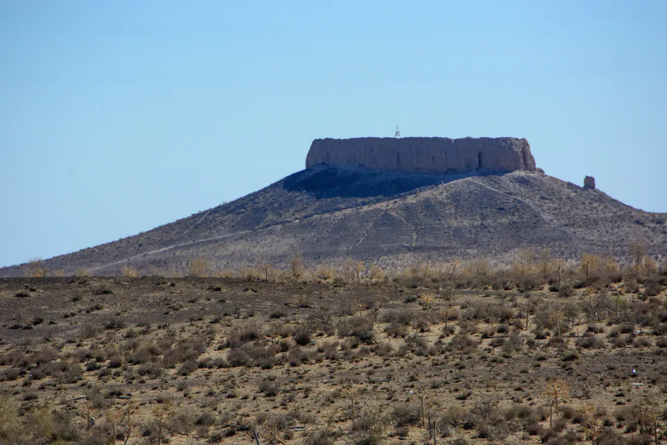
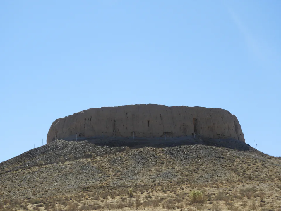
Chilpik (Shylpyk)
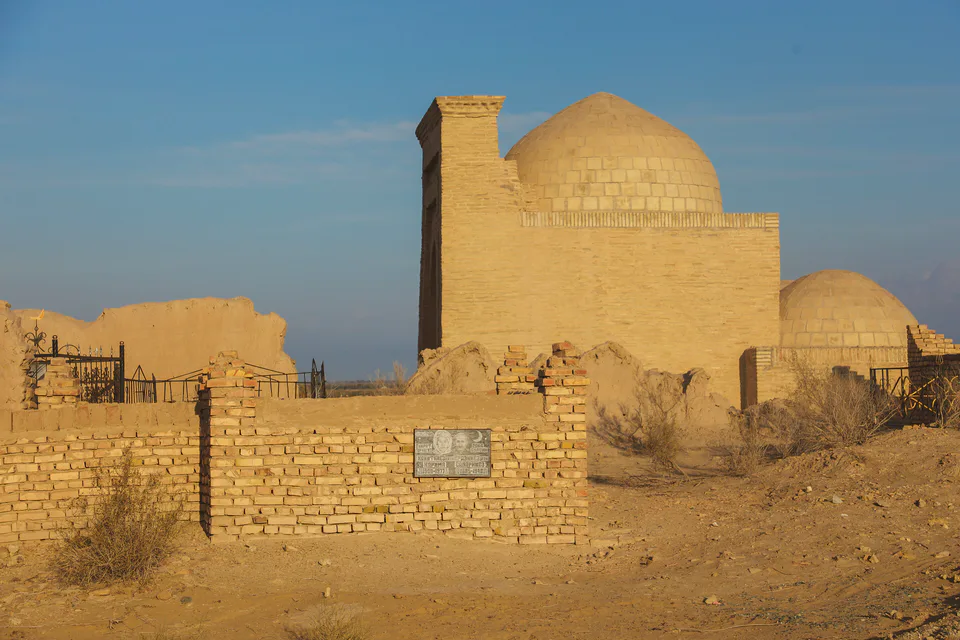
A Zoroastrian “tower of silence”
district · Republic of Karakalpakstan
A populous district in southern Karakalpakstan centred on the town of Mangit, home to the Chilpik dakhma pictured on the republic’s coat of arms and the Jumurtau ridge.
Amudaryo District was formed on 18 December 1957, the year Xorazm Region’s Mangit District passed to Karakalpakstan. It borders Nukus District to the north, Gurlan District of Xorazm to the east and Turkmenistan to the south and west, covering 1,020 km² of mostly flat land, with the Jumurtau ridge along the Amu Darya.
It contains the town of Mangit and the urban settlements of Jumurtau and Kipchak, and with 218,700 residents in 2026 it is one of Karakalpakstan’s largest districts.
The district’s best-known monument is the Zoroastrian dakhma of Chilpik, built around the turn of the 1st century BCE and CE — a colossal ring wall on a 35-metre hill. It stands by the Nukus–Turtkul road and is a regular stop on the way to the Ellikqala fortresses.
Amudaryo District
Amudaryo District
Airport, railway station and bus stations — addresses, timetables and the live board.
All transportNukus Nearest point: Nukus, 54 km
8°partly cloudy
Weather: MET Norway
Amudaryo District
Khokimiyat, public service centre and other offices: addresses, phones, hours.
All offices (4)Khokimiyat
36 Gurlan St, Mangit, Amudarya District
Read morePublic Service Centre
106 Gurlan St, Amudarya District
Read moreAmudaryo District
Codes of the post offices in this city or district.
All postcodes (9)Cities and districts
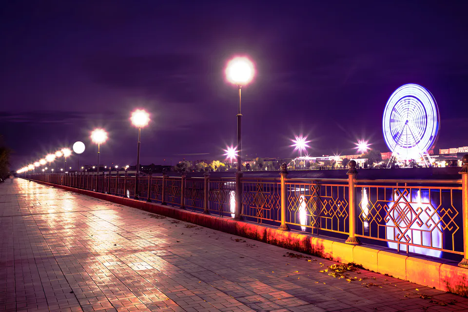
city · Capital of Karakalpakstan and a treasure house of art
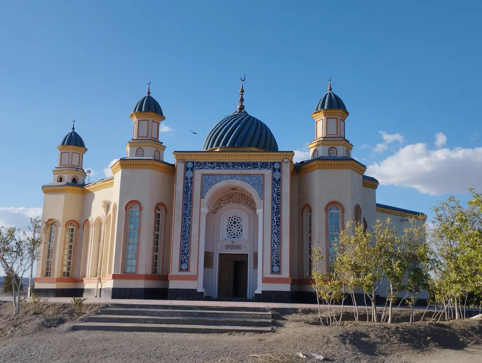
district · Al-Biruni’s birthplace — ancient Kath
district · The delta’s smallest district
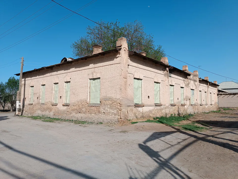
district · An old market town on the Kegeyli canal
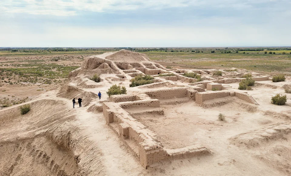
district · The oasis of “fifty fortresses”
district · A canal shaded by kegay trees
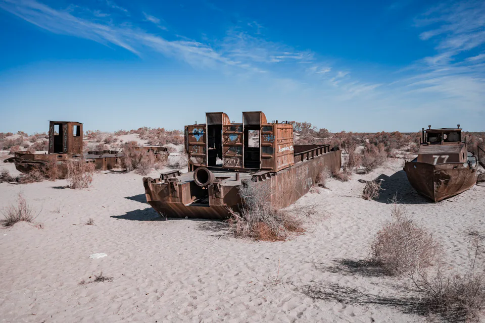
district · The former shore of the Aral Sea
district · Ancient mounds around the capital
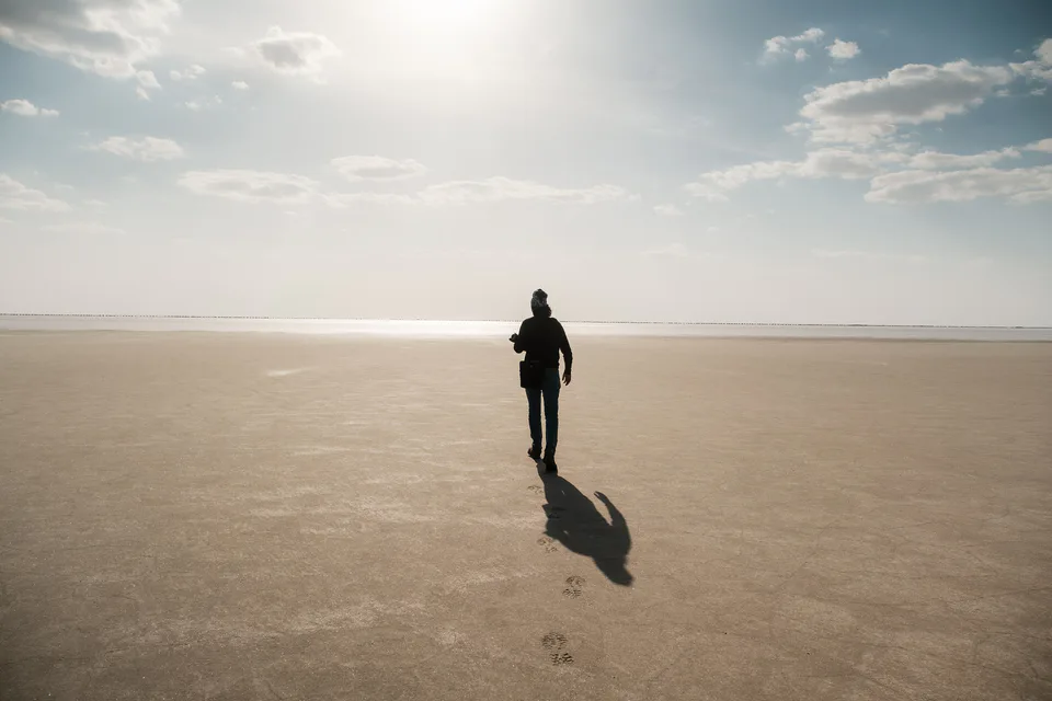
district · The largest district, covering the Ustyurt
district · Among the dry channels of the Amu Darya
district · The Beltau sands and the channels of the Amu Darya
district · A farming oasis at the foot of the Ustyurt
district · A power town on the Amu Darya
district · Between the Kyzylkum and the Akpetki lakes
district · Karakalpakstan’s first capital
district · Beside the hills of Mizdahkan