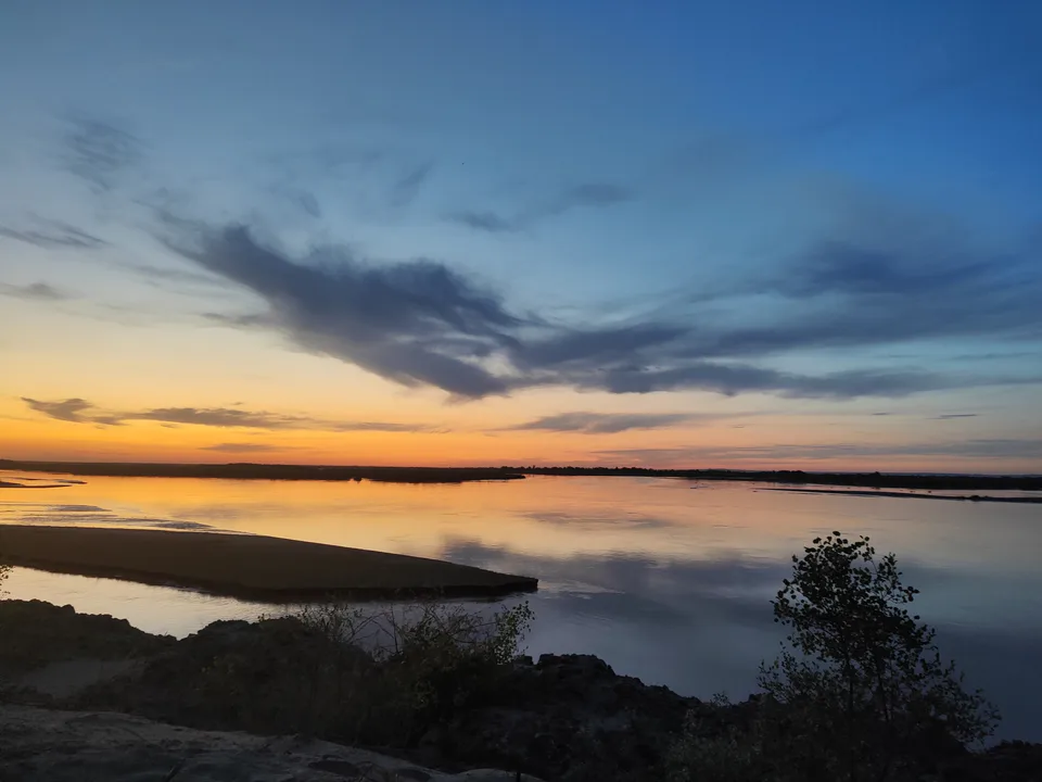
district · Xorazm Region
Gurlan District
A district in northern Khorezm bordered on three sides by Karakalpakstan, known for its riverside tugai woods, canals and cotton fields.
Photo: My cardio · CC BY-SA 4.0 · Wikimedia Commons
Setting and history
Gurlan District was created on 29 September 1926. It borders Shovot to the south, Yangibozor to the southeast, Karakalpakstan to the east, north and northwest, and Turkmenistan to the southwest, covering 447 km², more than 7% of the region. The Amu Darya runs along its north and northeast, and fields are watered by the Kilichboy, Qiyot-Qongirot, Toqson and other canals.
Theories about the name vary: one legend credits a blind old man and a lame old woman, craftsmen who settled here, while linguists derive it from the Mongol kuren, “encampment”. The population of 162,700 (2026) is mostly Uzbek, with Karakalpaks, Kazakhs, Turkmen and others, and the economy rests on cotton, grain and textiles.
Sources (3)
Gurlan District
Getting there
Airport, railway station and bus stations — addresses, timetables and the live board.
All transportUrgench Nearest point: Urgench, 45 km
8°partly cloudy
- 8° / 8°
- 4.8 m/s
- 36%
- Today8°8°
- Mon14°3°
- Tue14°2°
- Wed13°3°
- Thu15°4°
Weather: MET Norway
Gurlan District
Government offices
Khokimiyat, public service centre and other offices: addresses, phones, hours.
All offices (3)Khokimiyat
Gurlan District Khokimiyat
4 Mustaqillik St, Gurlan District
Read morePublic Service Centre
Gurlan District Public Services Centre
15 Mustaqillik St, Gurlan, Gurlan District
Read more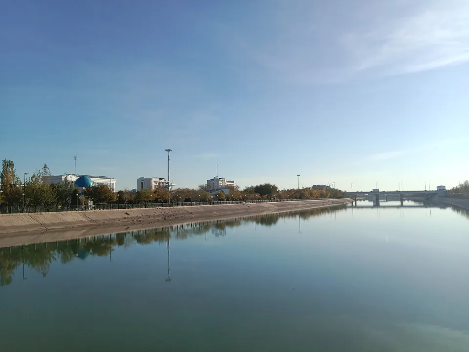
Urgench
city · Regional capital and gateway to Khiva
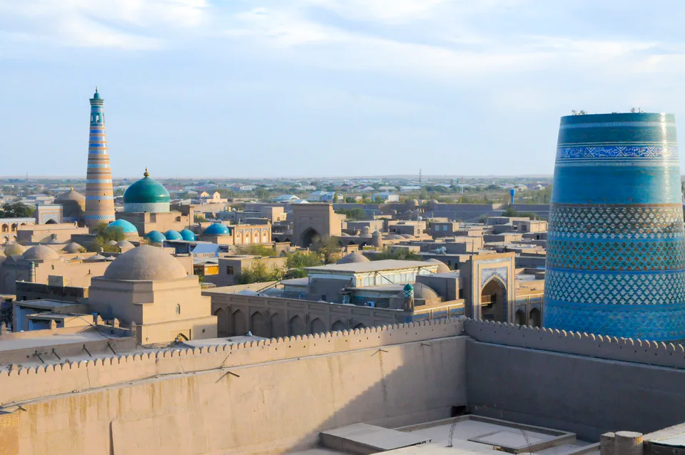
Khiva
city · Khorezm’s last capital
Bogot District
district · A land of gardens and lakes
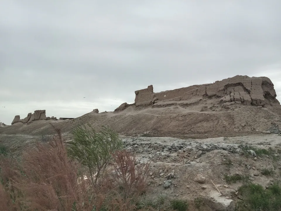
Hazorasp District
district · The “thousand horses” fortress and Khorezm’s eastern gate
Qo‘shko‘pir District
district · The western district of the “twin bridges”
Shovot District
district · On Anusha Khan’s canal
Tuproqqala District
district · Khorezm’s youngest and wildest district
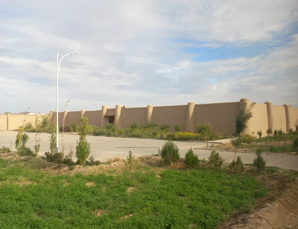
Urganch District
district · The villages around the regional capital
Khiva District
district · The villages around ancient Khiva
Xonqa District
district · In the ancient Amu Darya delta
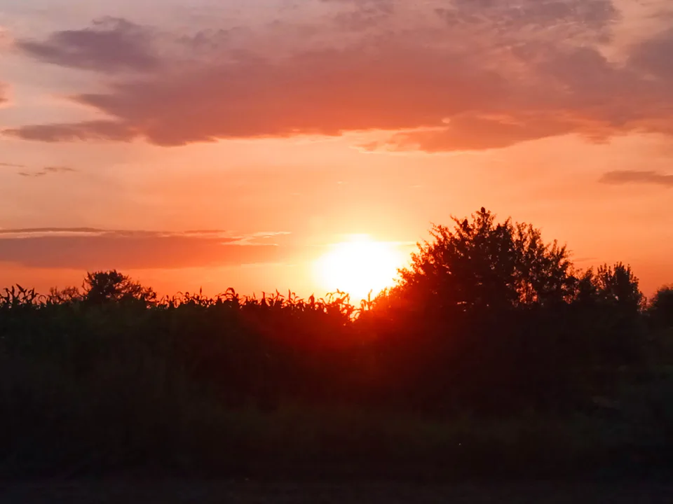
Yangiariq District
district · Home of the Sheikh Mukhtar Vali shrine
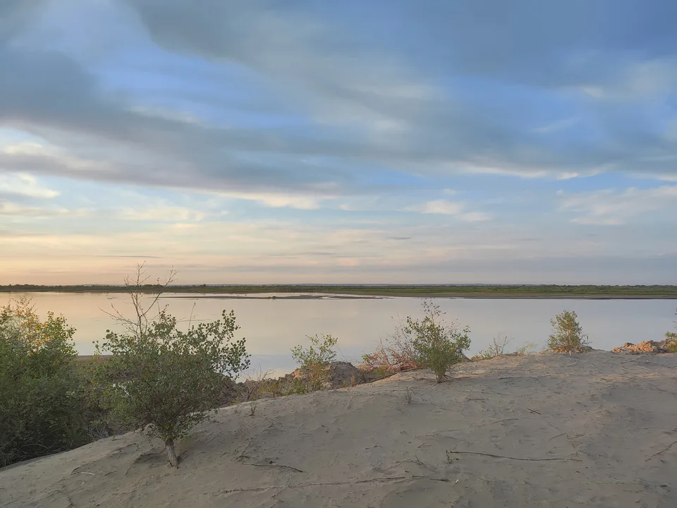
Yangibozor District
district · A small district on the Amu Darya