district · Xorazm Region
Xonqa District
A densely settled district east of Urgench on the Amu Darya, named after the old fortress of Xonqa, with the Sayd Ota mosque and the early-20th-century Gavdonboy house.
Setting and history
Formed in 1926, merged into Yangiariq in 1962 and restored in 1973, Xonqa District borders Urganch to the northwest and west, Khiva and Yangiariq to the southwest, Bogot to the south and southeast and Karakalpakstan to the northeast, covering about 430 km². It lies on the low ancient delta of the Amu Darya at around 100 metres, threaded by shifting river channels.
Xonqa fortress appears in 17th-century sources — Anusha Khan dug the Shovot canal from a point just upstream of it. The district had 205,300 residents in 2026, and its monuments include the Sayd Ota mosque and mausoleum and the Gavdonboy house of 1910–1914, restored in 1994.
Xonqa District
Getting there
Airport, railway station and bus stations — addresses, timetables and the live board.
All transportUrgench Nearest point: Urgench, 15 km
8°partly cloudy
- 8° / 8°
- 4.8 m/s
- 36%
- Today8°8°
- Mon14°3°
- Tue14°2°
- Wed13°3°
- Thu15°4°
Weather: MET Norway
Xonqa District
Government offices
Khokimiyat, public service centre and other offices: addresses, phones, hours.
All offices (3)Khokimiyat
Khonqa District Khokimiyat
30 Khalqlar Dustligi St, Khonqa, Khonqa District
Read morePublic Service Centre
Khonqa District Public Services Centre
409 Farovonlik St, Khonqa District
Read more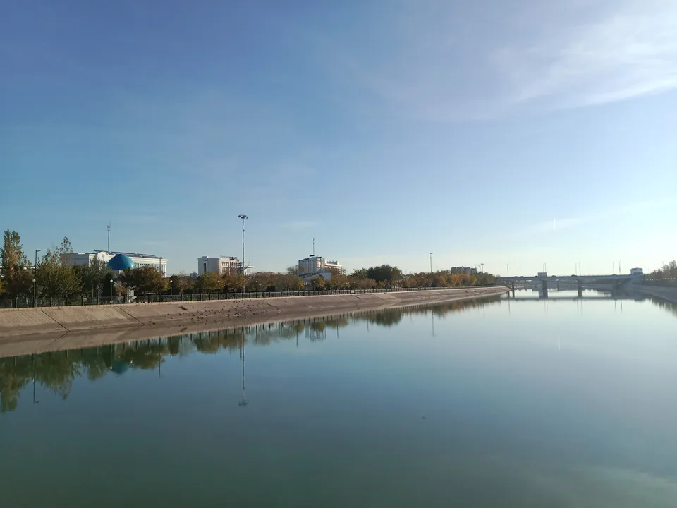
Urgench
city · Regional capital and gateway to Khiva
Khiva
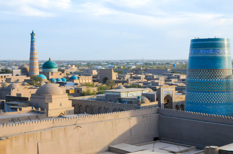
city · Khorezm’s last capital
Bogot District
district · A land of gardens and lakes
Gurlan District
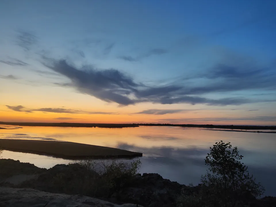
district · A northern district on the Amu Darya
Hazorasp District
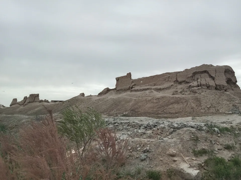
district · The “thousand horses” fortress and Khorezm’s eastern gate
Qo‘shko‘pir District
district · The western district of the “twin bridges”
Shovot District
district · On Anusha Khan’s canal
Tuproqqala District
district · Khorezm’s youngest and wildest district
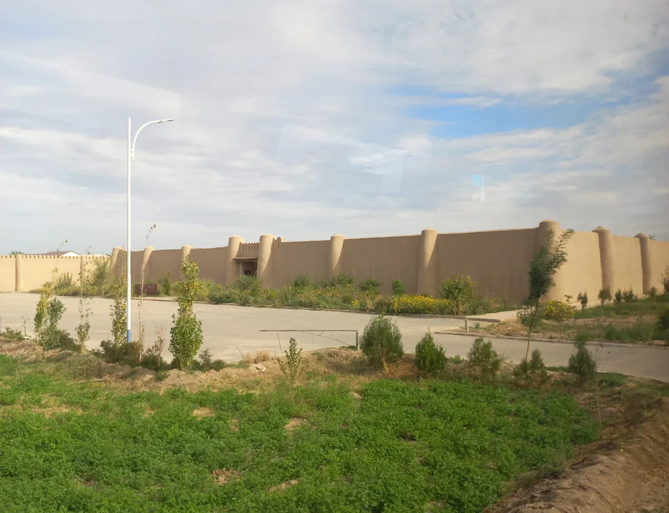
Urganch District
district · The villages around the regional capital
Khiva District
district · The villages around ancient Khiva
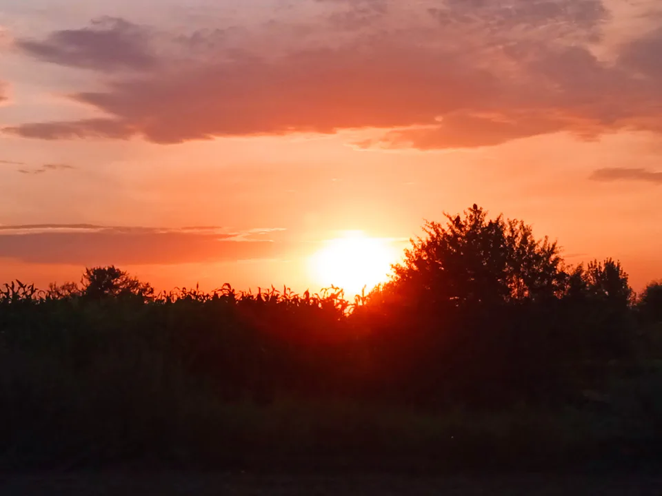
Yangiariq District
district · Home of the Sheikh Mukhtar Vali shrine
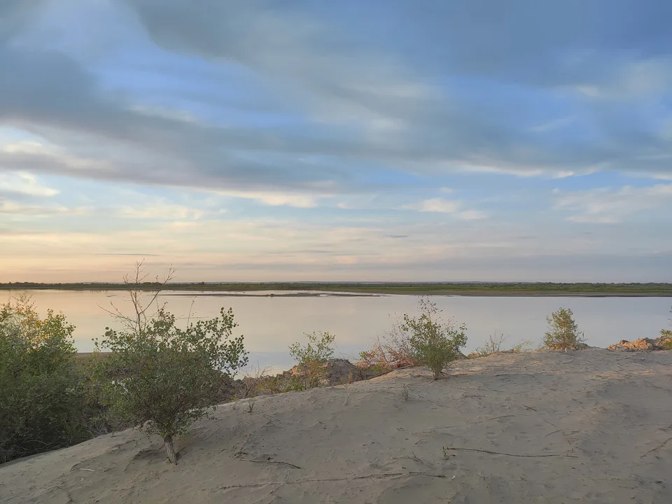
Yangibozor District
district · A small district on the Amu Darya