district · Xorazm Region
Shovot District
A district in northwestern Khorezm named after the 17th-century Shovot (Shohobod) canal, with ancient sites such as Kat Kala and Vayangonbobo.
Setting and history
Shovot District was created on 29 September 1926. It borders Qo‘shko‘pir to the south, Urganch to the southeast, Yangibozor to the east, Gurlan to the northeast and Turkmenistan to the north, northwest and west, covering about 460 km². Its centre, Shovot, lies on the left bank of the Shovot canal 40 km from Urgench.
The canal gave the district its name: according to the sources Anusha Khan had it dug from the Amu Darya above Xonqa fortress in 1681–1682, and people called it Shohobod. The population was 186,700 in 2026; there are cotton-ginning and textile plants, and passenger trains run from Shovot to Tashkent.
What to see
Archaeological sites at Vayangonbobo (1st–4th and 9th–14th centuries) and Kat Kala (1st century BCE), the 15th-century Vayangonbobo mausoleum and a symbolic tomb of Yusuf Hamadani. Central Shovot has a park named after the celebrated singer Komiljon Otaniyozov.
Sources (3)
Shovot District
Getting there
Airport, railway station and bus stations — addresses, timetables and the live board.
All transportUrgench Nearest point: Urgench, 35 km
8°partly cloudy
- 8° / 8°
- 4.7 m/s
- 37%
- Today8°8°
- Mon14°3°
- Tue14°2°
- Wed13°3°
- Thu15°4°
Weather: MET Norway
Shovot District
Government offices
Khokimiyat, public service centre and other offices: addresses, phones, hours.
All offices (3)Khokimiyat
Shovot District Khokimiyat
73 Turkiston St, Shovot District
Read morePublic Service Centre
Shovot District Public Services Centre
73A Turkiston St, Shovot District
Read more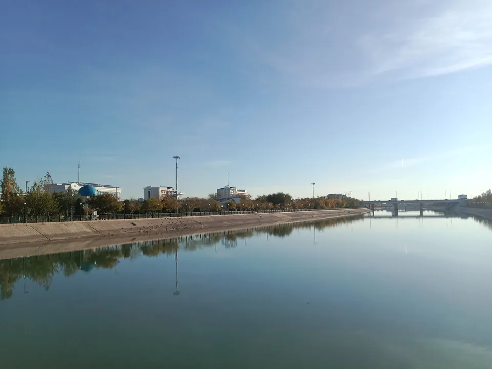
Urgench
city · Regional capital and gateway to Khiva
Khiva
city · Khorezm’s last capital
Bogot District
district · A land of gardens and lakes
Gurlan District
district · A northern district on the Amu Darya
Hazorasp District
district · The “thousand horses” fortress and Khorezm’s eastern gate
Qo‘shko‘pir District
district · The western district of the “twin bridges”
Tuproqqala District
district · Khorezm’s youngest and wildest district
Urganch District
district · The villages around the regional capital
Khiva District
district · The villages around ancient Khiva
Xonqa District
district · In the ancient Amu Darya delta
Yangiariq District
district · Home of the Sheikh Mukhtar Vali shrine
Yangibozor District
district · A small district on the Amu Darya