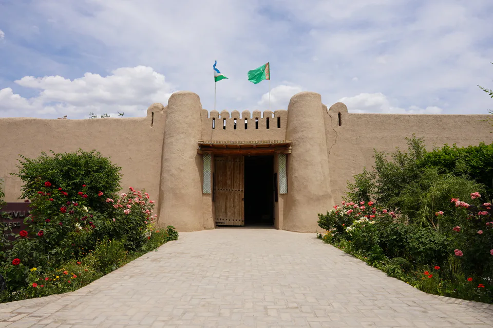
Fortress · Urganch District
Ulli Hovli Complex
A 17th-century fortified home of a Turkmen clan
district · Xorazm Region
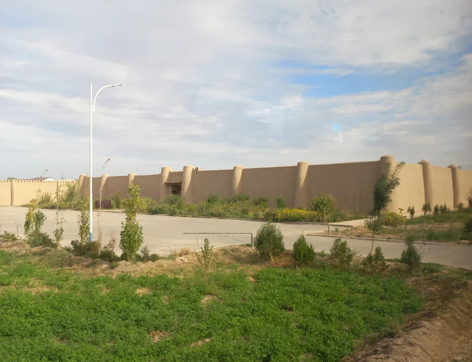
An irrigated district surrounding Urgench and reaching to the Amu Darya — Khorezm’s most populous district, home to the 17th-century Ulli Hovli compound in Gaybu village.
The district borders Xonqa to the east, Qo‘shko‘pir and Shovot to the west, Yangibozor to the northwest, Karakalpakstan across the Amu Darya to the north and Khiva District to the south. It is low-lying, about 100 metres above sea level, on soils laid down by the river. Formed in the 1920s–30s, it was briefly abolished in the early 1960s and restored in 1964. Its centre is the village of Qorovul, and Chalish on the Amu Darya is its only urban settlement.
With 223,700 people at the start of 2026 it is Khorezm’s most populous district, living from cotton, grain, rice, orchards and livestock.
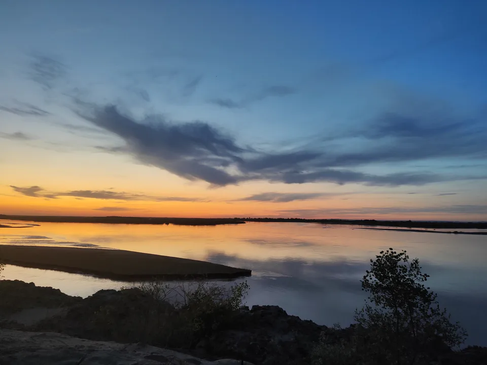
In the Turkmenlar quarter of Gaybu village stands Ulli Hovli, a 17th-century earthen compound restored in 2013–2015 as an ethnographic attraction. Near Chalish you can get down to the banks of the Amu Darya.
Urganch District
Urganch District
Airport, railway station and bus stations — addresses, timetables and the live board.
All transportUrgench Nearest point: Urgench, 6 km
8°partly cloudy
Weather: MET Norway
Urganch District
Khokimiyat, public service centre and other offices: addresses, phones, hours.
All offices (3)Khokimiyat
1 Mustaqillik St, Urgench District
Mon–Fri 9:00–18:00, lunch 13:00–14:00
Read morePublic Service Centre
Yangi Shovot St, Urgench District
Read moreUrganch District
Codes of the post offices in this city or district.
All postcodes (11)
city · Regional capital and gateway to Khiva
city · Khorezm’s last capital
district · A land of gardens and lakes
district · A northern district on the Amu Darya
district · The “thousand horses” fortress and Khorezm’s eastern gate
district · The western district of the “twin bridges”
district · On Anusha Khan’s canal
district · Khorezm’s youngest and wildest district
district · The villages around ancient Khiva
district · In the ancient Amu Darya delta
district · Home of the Sheikh Mukhtar Vali shrine
district · A small district on the Amu Darya