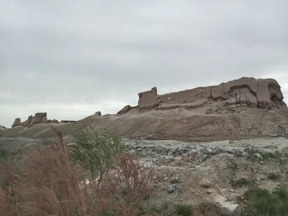
Fortress · Hazorasp District
Hazorasp Fortress
The ancient walls of the “town of a thousand horses”
district · Xorazm Region
A district in the southeast of the Khorezm oasis, with the ancient fortress of Hazorasp, the Shohpir shrine, the famous Kazakh Bazaar and a bridge over the Amu Darya.
Created on 29 September 1926, the district borders Turkmenistan to the south, Tuproqqala District to the east, Karakalpakstan to the north and Bogot to the west; Tuproqqala was carved out of its eastern part in 2020. It is low-lying land along the Amu Darya, with relict lakes such as Hajjalikol, Shorkol and Uzunkol where it meets the Karakum.
Its centre, the town of Hazorasp, lies on the Tashkent–Urgench highway and railway 45 km southeast of Urgench and is one of Khorezm’s oldest towns, with layers dating to the first half of the 1st millennium BCE. With 214,000 people in 2026, it is the most densely populated district in the region.
The walls of Hazorasp fortress in the town centre, the Muzrobshoh Khorezmi Mausoleum (Shohpir) in Mukhomon village and an 18th-century Friday mosque. The oasis-famous Kazakh Bazaar and the road-and-rail bridge over the Amu Darya are local landmarks too.
Hazorasp District
Airport, railway station and bus stations — addresses, timetables and the live board.
All transportUrgench Nearest point: Urgench, 51 km
9°partly cloudy
Weather: MET Norway
Hazorasp District
Khokimiyat, public service centre and other offices: addresses, phones, hours.
All offices (3)Khokimiyat
32 E. Gayazov St, Hazorasp District
Read morePublic Service Centre
6 E. Gayazov St, Hazorasp, Hazorasp District
Read moreHazorasp District
Codes of the post offices in this city or district.
All postcodes (5)
city · Regional capital and gateway to Khiva
city · Khorezm’s last capital
district · A land of gardens and lakes
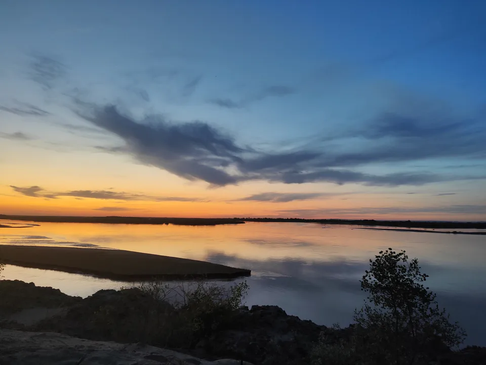
district · A northern district on the Amu Darya
district · The western district of the “twin bridges”
district · On Anusha Khan’s canal
district · Khorezm’s youngest and wildest district
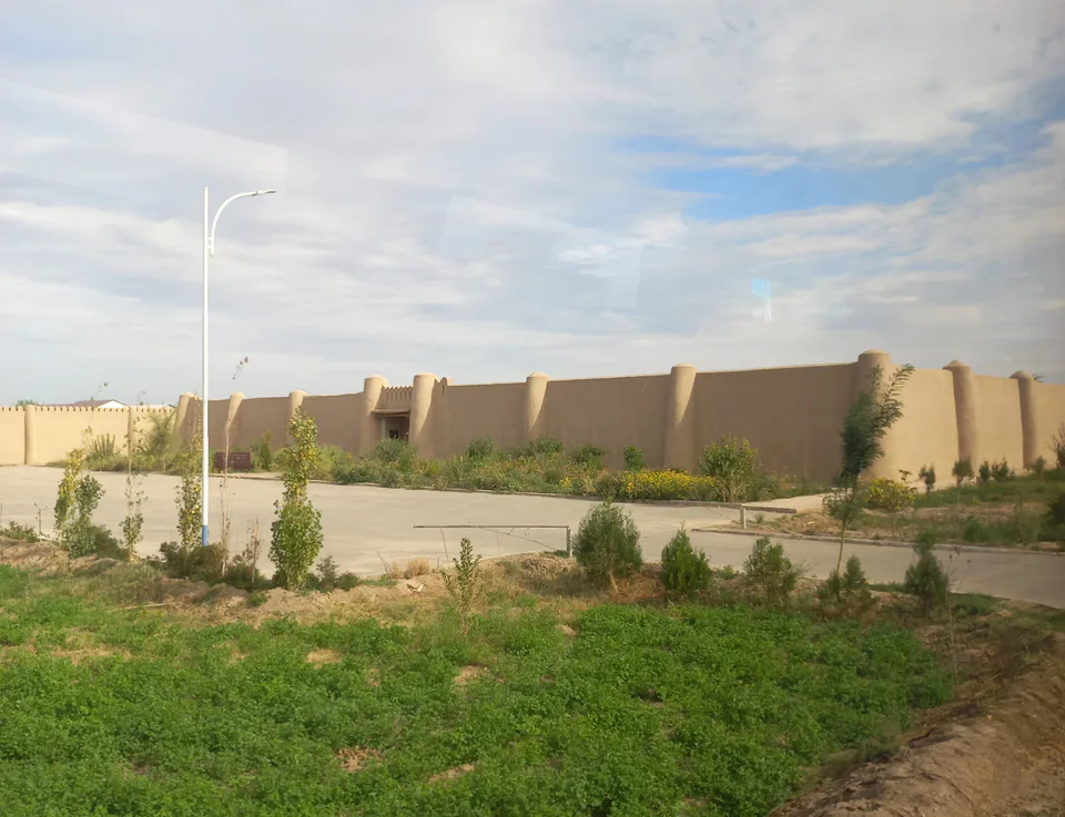
district · The villages around the regional capital
district · The villages around ancient Khiva
district · In the ancient Amu Darya delta
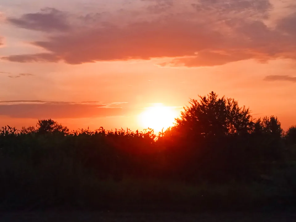
district · Home of the Sheikh Mukhtar Vali shrine
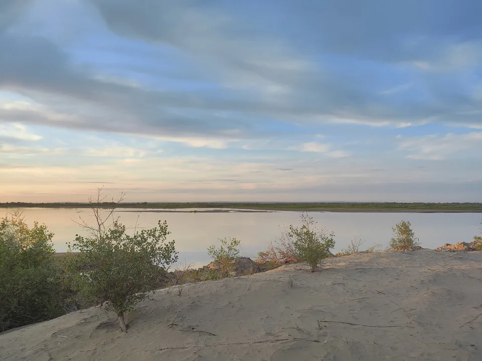
district · A small district on the Amu Darya