district · Xorazm Region
Bogot District
A farming district in southeastern Khorezm, with fields, orchards and more than fifty lakes between the Amu Darya and the edge of the Karakum.
Setting and history
Bogot District lies in the southeast of the region, about 30 km southeast of Urgench, bordered by Xonqa to the north, Yangiariq to the west, Hazorasp to the east, Karakalpakstan across the Amu Darya to the northeast and Turkmenistan to the south. Created in 1953, abolished in 1959 and restored in 1970, it is centred on Bogot, which became an urban settlement in 2011; most scholars read the name as “gardens”.
The land is a river-laid plain with sand dunes in the south, and more than fifty lakes — Otakol, Shorkol, Kokkol, Toqaykol and others — fill hollows along the Karakum edge. Fields watered by the Toshsoka canal grow cotton, wheat, rice and maize, and textile and garment factories operate here. The population was 183,000 at the start of 2026.
Sources (3)
Bogot District
Getting there
Airport, railway station and bus stations — addresses, timetables and the live board.
All transportUrgench Nearest point: Urgench, 29 km
8°partly cloudy
- 8° / 8°
- 4.7 m/s
- 37%
- Today8°8°
- Mon14°3°
- Tue14°2°
- Wed13°3°
- Thu15°4°
Weather: MET Norway
Bogot District
Government offices
Khokimiyat, public service centre and other offices: addresses, phones, hours.
All offices (3)Khokimiyat
Bogot District Khokimiyat
18 Uzbekistan St, Bogot District
Mon–Fri 9:00–18:00, lunch 13:00–14:00
Read morePublic Service Centre
Bogot District Public Services Centre
16 Feruz St, Bogot, Bogot District
Read more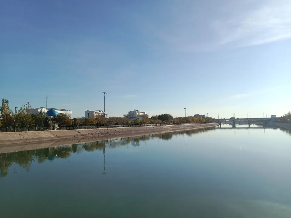
Urgench
city · Regional capital and gateway to Khiva
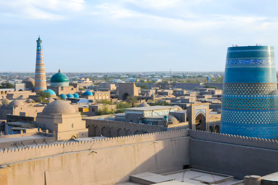
Khiva
city · Khorezm’s last capital
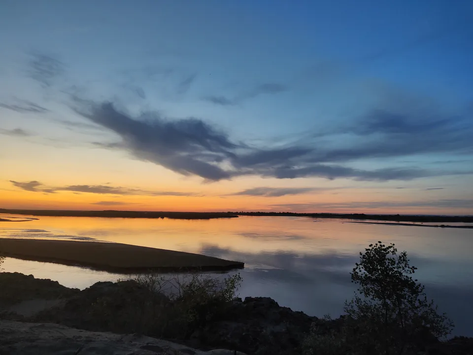
Gurlan District
district · A northern district on the Amu Darya
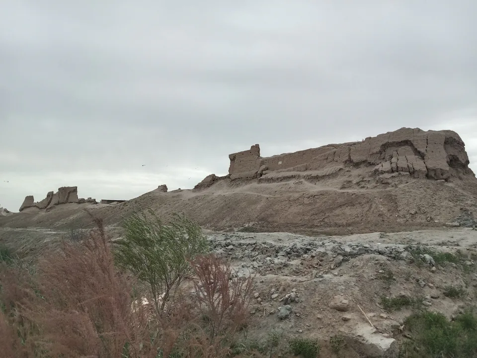
Hazorasp District
district · The “thousand horses” fortress and Khorezm’s eastern gate
Qo‘shko‘pir District
district · The western district of the “twin bridges”
Shovot District
district · On Anusha Khan’s canal
Tuproqqala District
district · Khorezm’s youngest and wildest district
Urganch District
district · The villages around the regional capital
Khiva District
district · The villages around ancient Khiva
Xonqa District
district · In the ancient Amu Darya delta
Yangiariq District
district · Home of the Sheikh Mukhtar Vali shrine
Yangibozor District
district · A small district on the Amu Darya