Nature · Qo‘ng‘irot District
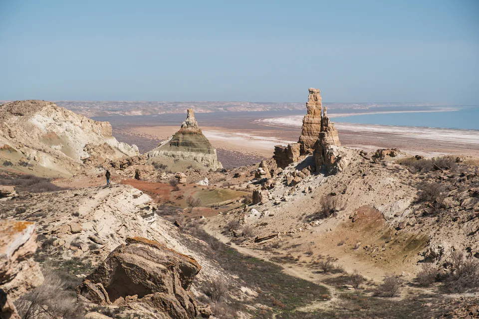
Ustyurt Plateau
The stone desert between the Caspian and the Aral
district · Republic of Karakalpakstan
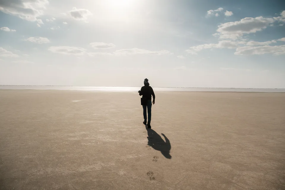
Karakalpakstan’s largest district by area, taking in Uzbekistan’s share of the Ustyurt Plateau, the Beleuli caravanserai, the “Ustyurt arrows” and the South Ustyurt National Park.
Formed on 24 July 1927, briefly merged into Khojeyli in 1963 and restored in 1964, Qo‘ng‘irot District borders Moynaq to the northeast, Bozatau across the Amu Darya to the east, Qanlikol and Shumanay to the southeast, Turkmenistan to the south and Kazakhstan’s Atyrau and Aktobe regions to the west and north. At 74,490 km² it is the largest district in Karakalpakstan, home to 138,400 people in 2026.
It includes the town of Kungrad and the settlements of Jaslyk, Oltinkol, Akchalak, Elobod, Karakalpakstan and South Ustyurt; Kungrad is a key station on the Tashkent–Nukus–Beyneu railway.
Most of the district is Ustyurt Plateau: sheer escarpments, desert landscapes, the ancient hunters’ “Ustyurt arrows” and the Beleuli caravanserai on the Khorezm–Volga road. The Saigachiy reserve and the South Ustyurt National Park, created in 2020, protect its wildlife.
Qo‘ng‘irot District
Airport, railway station and bus stations — addresses, timetables and the live board.
All transportQo‘ng‘irot District
Khokimiyat, public service centre and other offices: addresses, phones, hours.
All offices (5)Khokimiyat
18 Garezsizlik St, Kungrad, Kungrad District
Mon–Fri 9:00–18:00
Read morePublic Service Centre
5 Jana Qonis St, Kungrad District
Read moreQo‘ng‘irot District
Codes of the post offices in this city or district.
All postcodes (9)Cities and districts
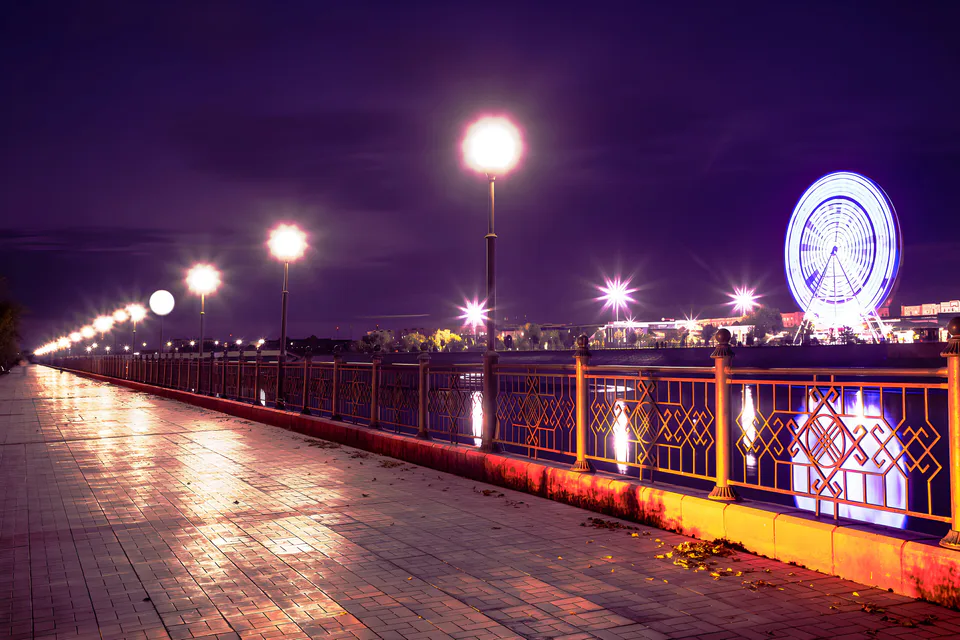
city · Capital of Karakalpakstan and a treasure house of art
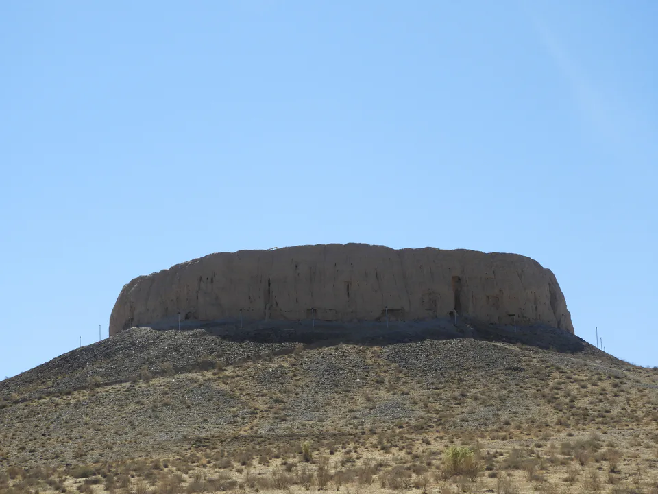
district · Home of the Chilpik dakhma
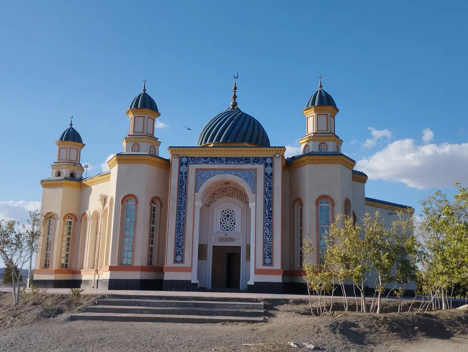
district · Al-Biruni’s birthplace — ancient Kath
district · The delta’s smallest district
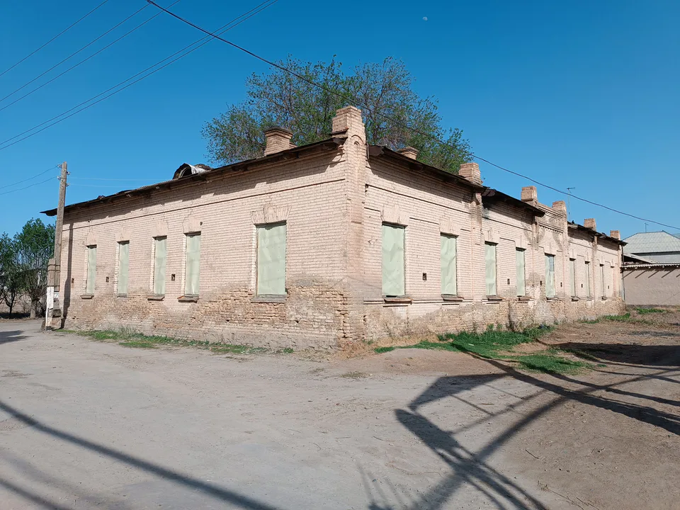
district · An old market town on the Kegeyli canal
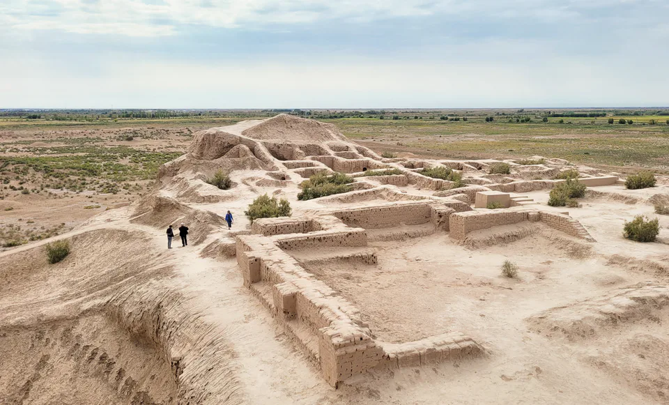
district · The oasis of “fifty fortresses”
district · A canal shaded by kegay trees
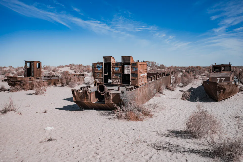
district · The former shore of the Aral Sea
district · Ancient mounds around the capital
district · Among the dry channels of the Amu Darya
district · The Beltau sands and the channels of the Amu Darya
district · A farming oasis at the foot of the Ustyurt
district · A power town on the Amu Darya
district · Between the Kyzylkum and the Akpetki lakes
district · Karakalpakstan’s first capital
district · Beside the hills of Mizdahkan