district · Republic of Karakalpakstan
Shumanay District
A small district on the left bank of the Amu Darya, reaching west to the foot of the Ustyurt, with the Aybuyir fortress and the ruins of Janaqala, known as Old Shumanay.
Setting and history
Shumanay District was created on 6 October 1950, divided between Qo‘ng‘irot and Khojeyli in 1960 and restored on 9 January 1976. It borders Khojeyli and Qanlikol to the east, Qo‘ng‘irot to the north and west and Turkmenistan to the south, covering about 640 km² of farmland that rises in the west to the slopes of the Ustyurt Plateau. The population was 58,700 in 2026, and the centre is the town of Shumanay.
Its historic sites include a fortress known in history as Aybuyir (5th–4th centuries BCE) and the early-19th-century ruins of Janaqala, which locals call Ulken Tam or Old Shumanay. The district is also known for its Gulpak folk dance ensemble.
Shumanay District
Getting there
Airport, railway station and bus stations — addresses, timetables and the live board.
All transportNukus Nearest point: Nukus, 66 km
8°partly cloudy
- 8° / 7°
- 6.2 m/s
- 38%
- Today8°7°
- Mon12°3°
- Tue13°2°
- Wed14°3°
- Thu13°5°
Weather: MET Norway
Shumanay District
Government offices
Khokimiyat, public service centre and other offices: addresses, phones, hours.
All offices (4)Khokimiyat
Shumanay District Khokimiyat
26 Ajiniyaz St, Shumanay District
9:00–18:00, lunch 13:00–14:00
Read morePublic Service Centre
Shumanay District Public Services Centre
23 Bakhitli St, Shumanay District
Read moreShumanay District
Postal codes
Codes of the post offices in this city or district.
All postcodes (7)Cities and districts
Other cities and districts in Republic of Karakalpakstan
Republic of Karakalpakstan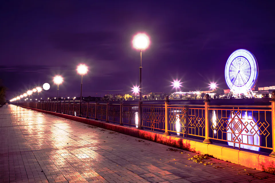
Nukus
city · Capital of Karakalpakstan and a treasure house of art
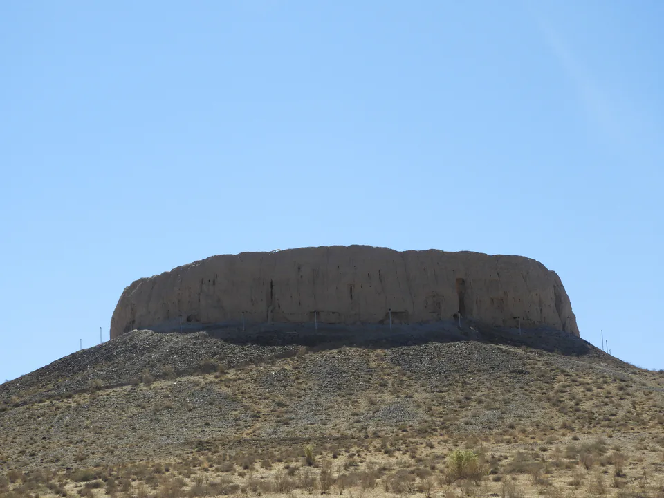
Amudaryo District
district · Home of the Chilpik dakhma
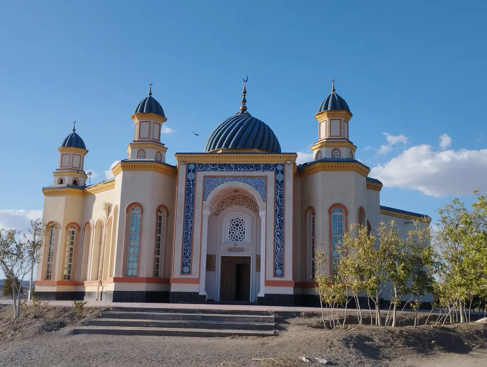
Beruniy District
district · Al-Biruni’s birthplace — ancient Kath
Bozatau District
district · The delta’s smallest district
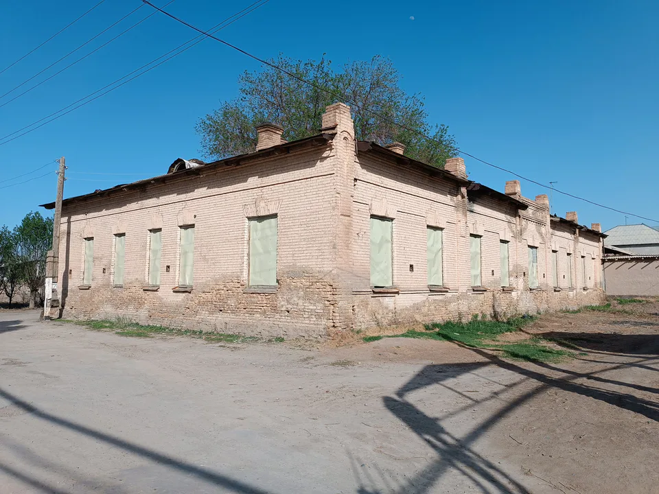
Chimboy District
district · An old market town on the Kegeyli canal
Ellikqala District
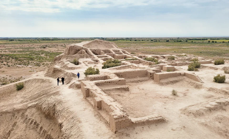
district · The oasis of “fifty fortresses”
Kegeyli District
district · A canal shaded by kegay trees
Moynaq District
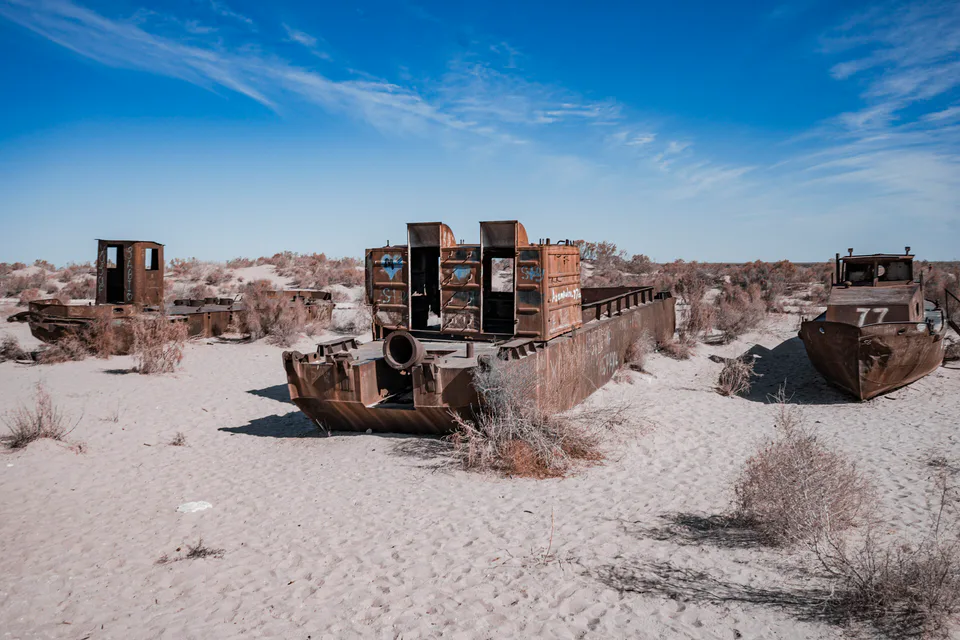
district · The former shore of the Aral Sea
Nukus District
district · Ancient mounds around the capital
Qo‘ng‘irot District
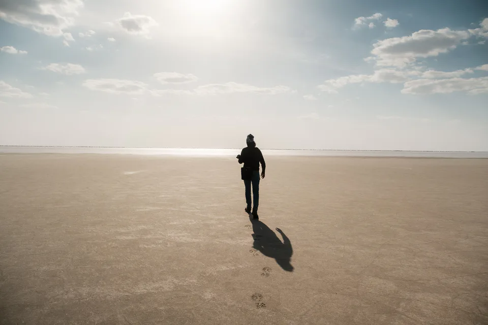
district · The largest district, covering the Ustyurt
Qanlikol District
district · Among the dry channels of the Amu Darya
Qoraozak District
district · The Beltau sands and the channels of the Amu Darya
Taxiatosh District
district · A power town on the Amu Darya
Taxtakopir District
district · Between the Kyzylkum and the Akpetki lakes
Turtkul District
district · Karakalpakstan’s first capital
Khojeyli District
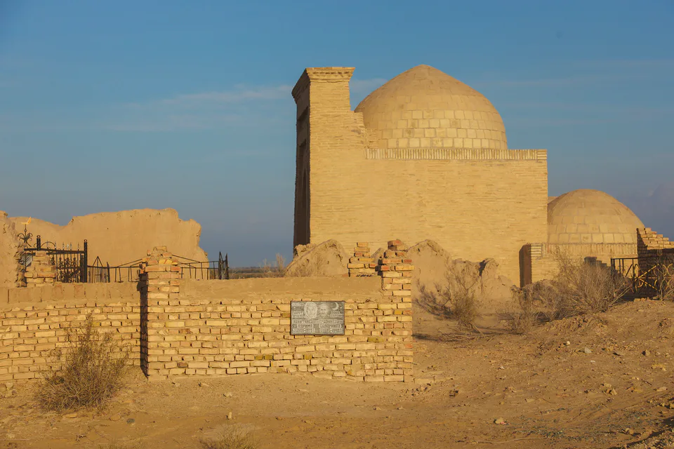
district · Beside the hills of Mizdahkan