district · Republic of Karakalpakstan
Taxtakopir District
A vast, sparsely populated district in northeastern Karakalpakstan: the Kyzylkum Desert, the Beltau hills and the Akpetki lakes where waterbirds nest.
Setting and history
Taxtakopir District was formed in May 1928, merged with Chimboy in 1963 and separated again in 1965. It borders Beruniy to the south, Ellikqala to the southeast, Qoraozak to the west, Moynaq to the northwest, Kazakhstan to the northeast and Navoiy Region to the east, covering 21,100 km². Its centre, the settlement of Taxtakopir, lies on the left bank of the lower Amu Darya.
Most of the district is Kyzylkum desert and the Beltau hills, and its 38,900 residents (2026) farm and herd. In the north are the eastern delta lakes of the Akpetki reserve, part of the Sudochye-Akpetki sanctuary for waterbirds, while ruined forts such as Kurgancha Kala and Barak Tam dot the desert.
Taxtakopir District
Getting there
Airport, railway station and bus stations — addresses, timetables and the live board.
All transportTaxtakopir District
Government offices
Khokimiyat, public service centre and other offices: addresses, phones, hours.
All offices (4)Khokimiyat
Takhtakupyr District Khokimiyat
42 Dustlik Guzar, Takhtakupyr District
Read morePublic Service Centre
Takhtakupyr District Public Services Centre
Dustlik Guzar, Takhtakupyr District
Read moreTaxtakopir District
Postal codes
Codes of the post offices in this city or district.
All postcodes (5)Cities and districts
Other cities and districts in Republic of Karakalpakstan
Republic of Karakalpakstan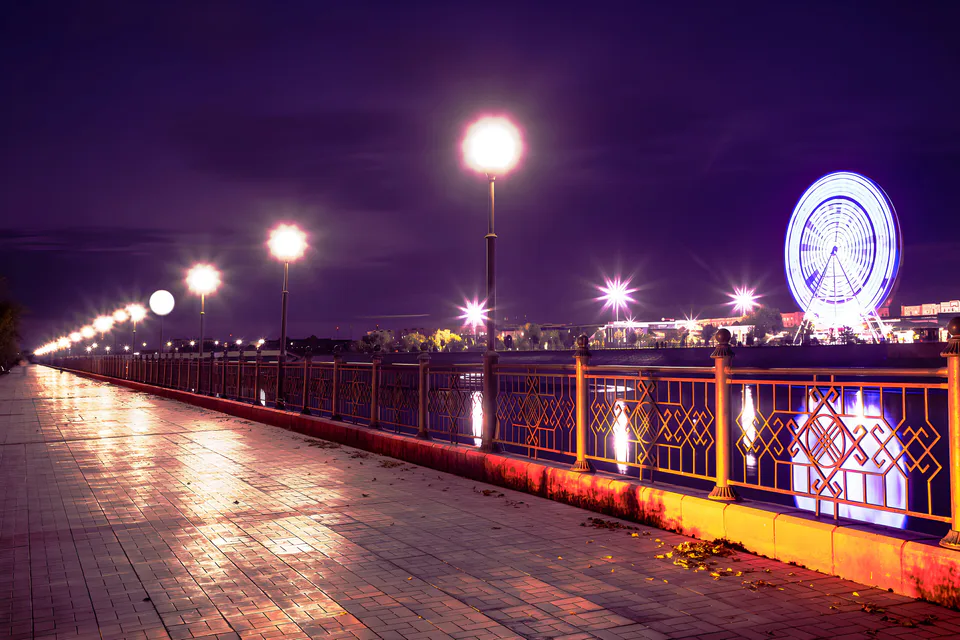
Nukus
city · Capital of Karakalpakstan and a treasure house of art
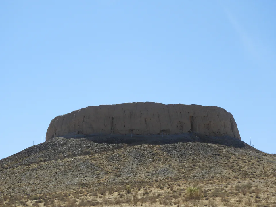
Amudaryo District
district · Home of the Chilpik dakhma
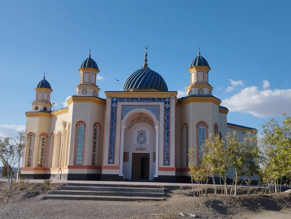
Beruniy District
district · Al-Biruni’s birthplace — ancient Kath
Bozatau District
district · The delta’s smallest district
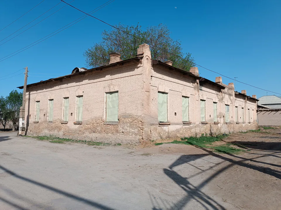
Chimboy District
district · An old market town on the Kegeyli canal
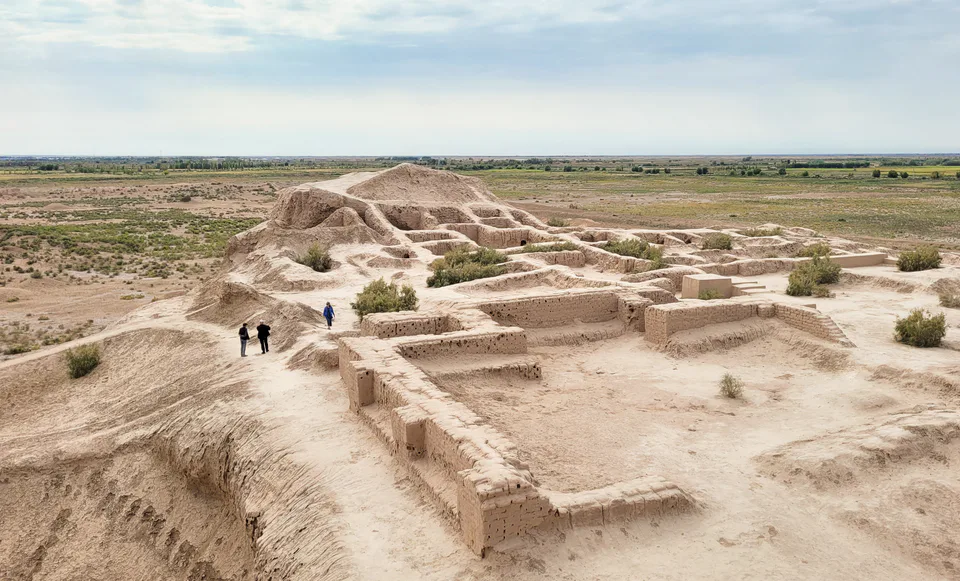
Ellikqala District
district · The oasis of “fifty fortresses”
Kegeyli District
district · A canal shaded by kegay trees
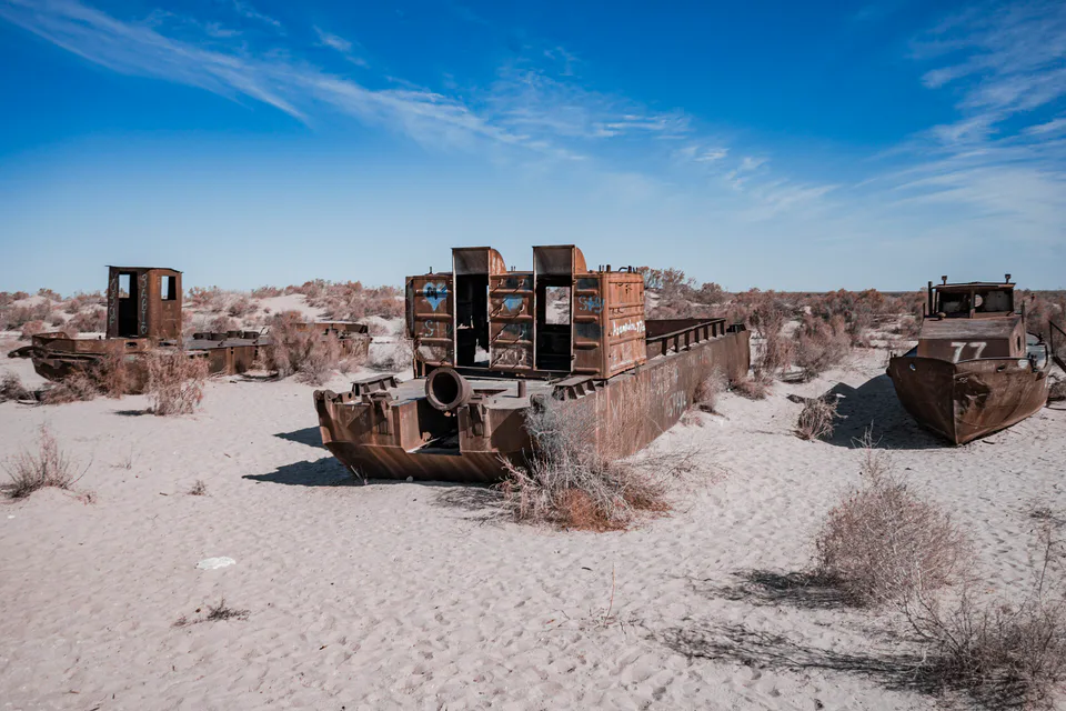
Moynaq District
district · The former shore of the Aral Sea
Nukus District
district · Ancient mounds around the capital
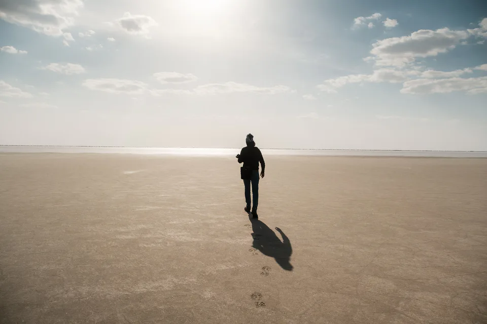
Qo‘ng‘irot District
district · The largest district, covering the Ustyurt
Qanlikol District
district · Among the dry channels of the Amu Darya
Qoraozak District
district · The Beltau sands and the channels of the Amu Darya
Shumanay District
district · A farming oasis at the foot of the Ustyurt
Taxiatosh District
district · A power town on the Amu Darya
Turtkul District
district · Karakalpakstan’s first capital
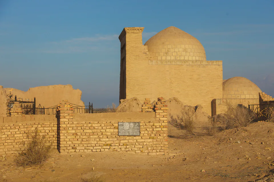
Khojeyli District
district · Beside the hills of Mizdahkan