Museum · Moynaq District
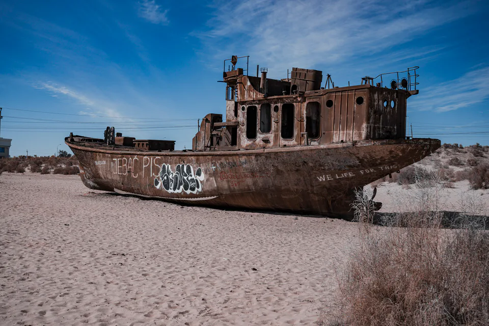
Moynaq Ship Cemetery
The port the sea abandoned
Nature · Moynaq District
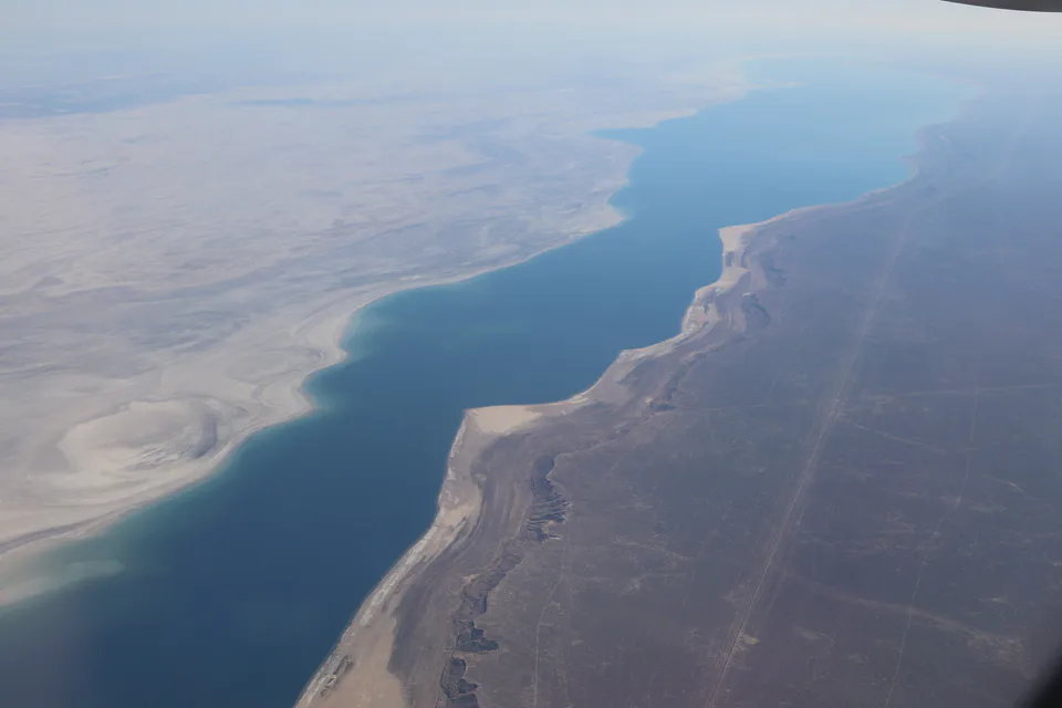
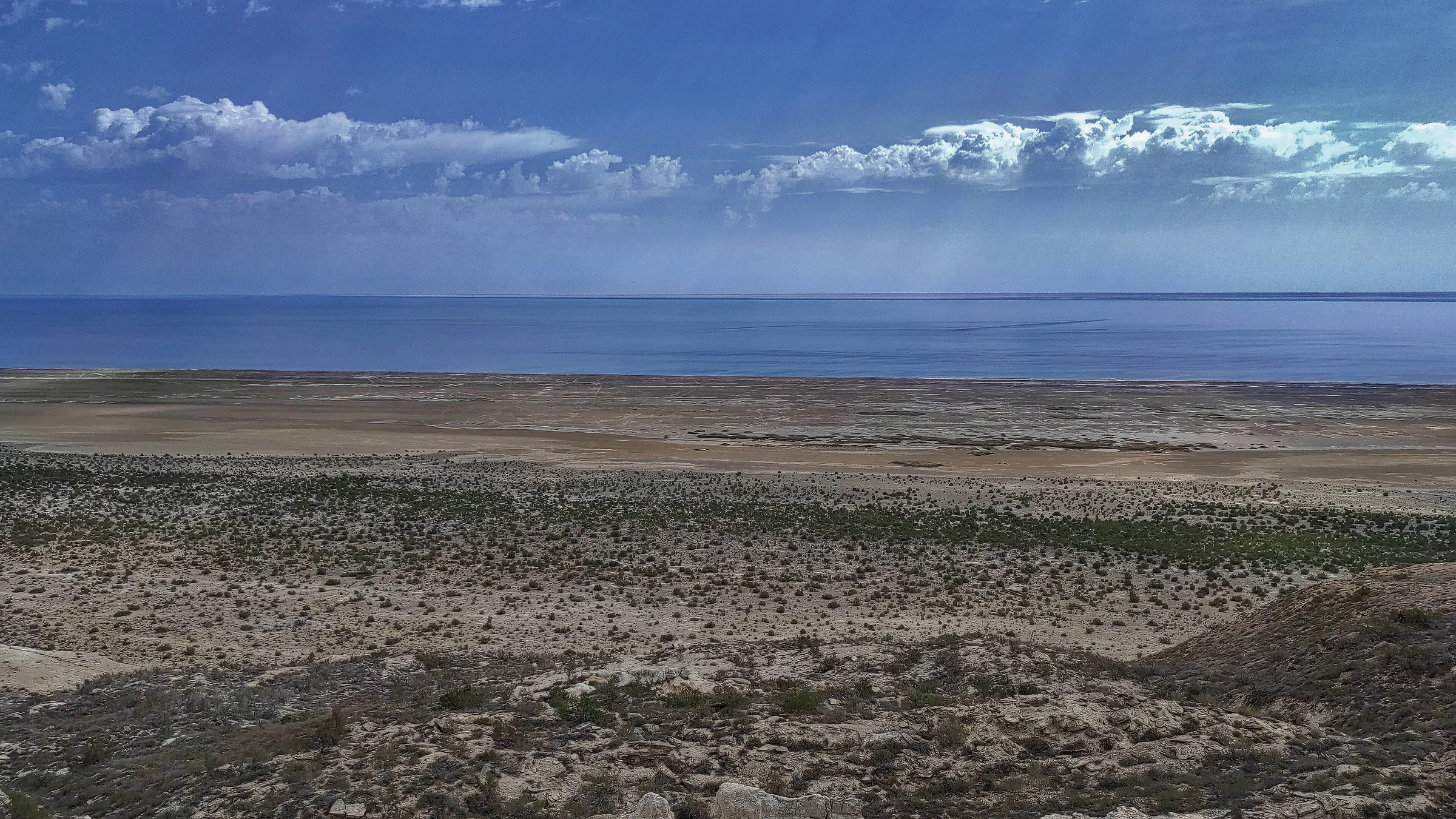
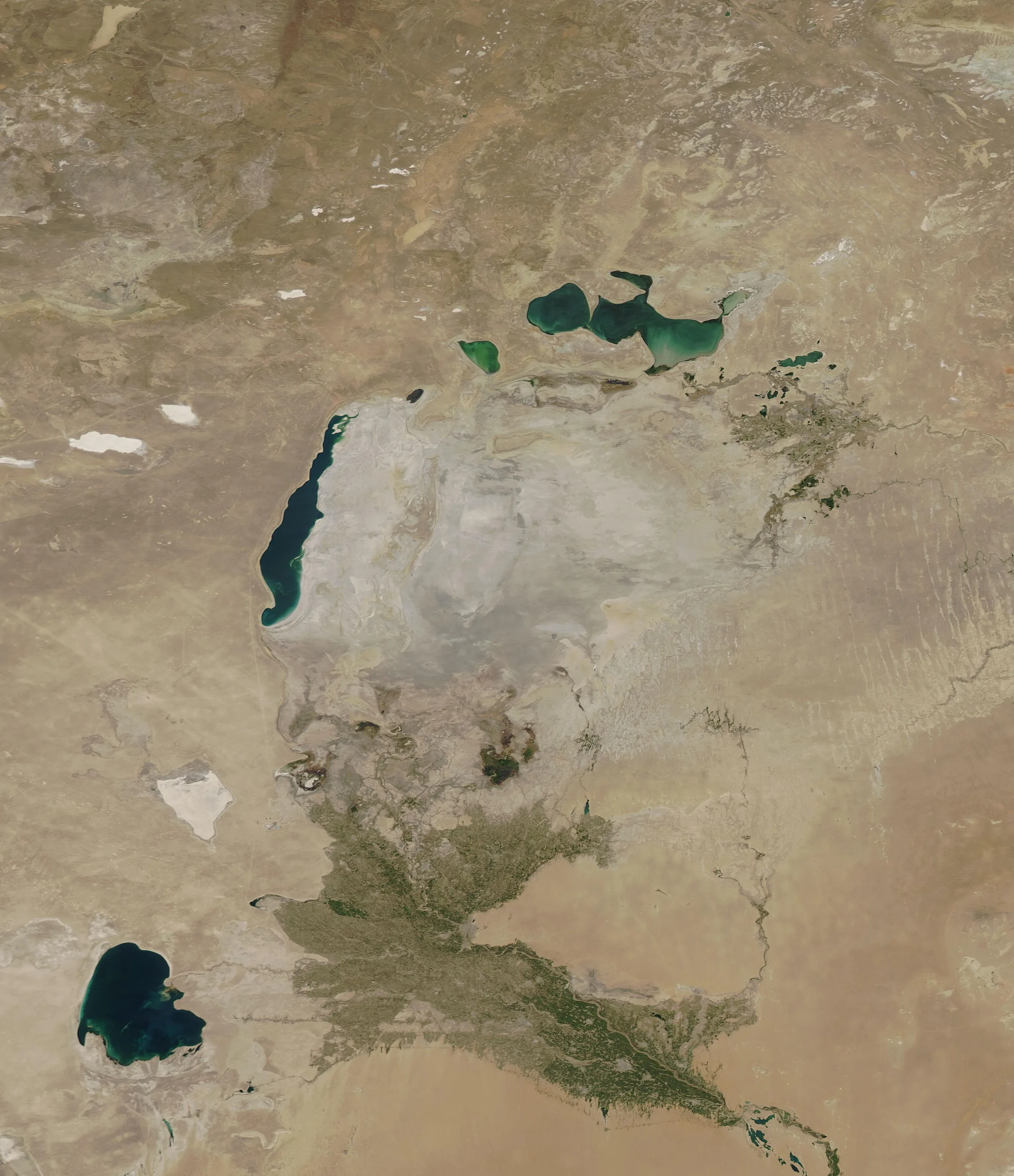
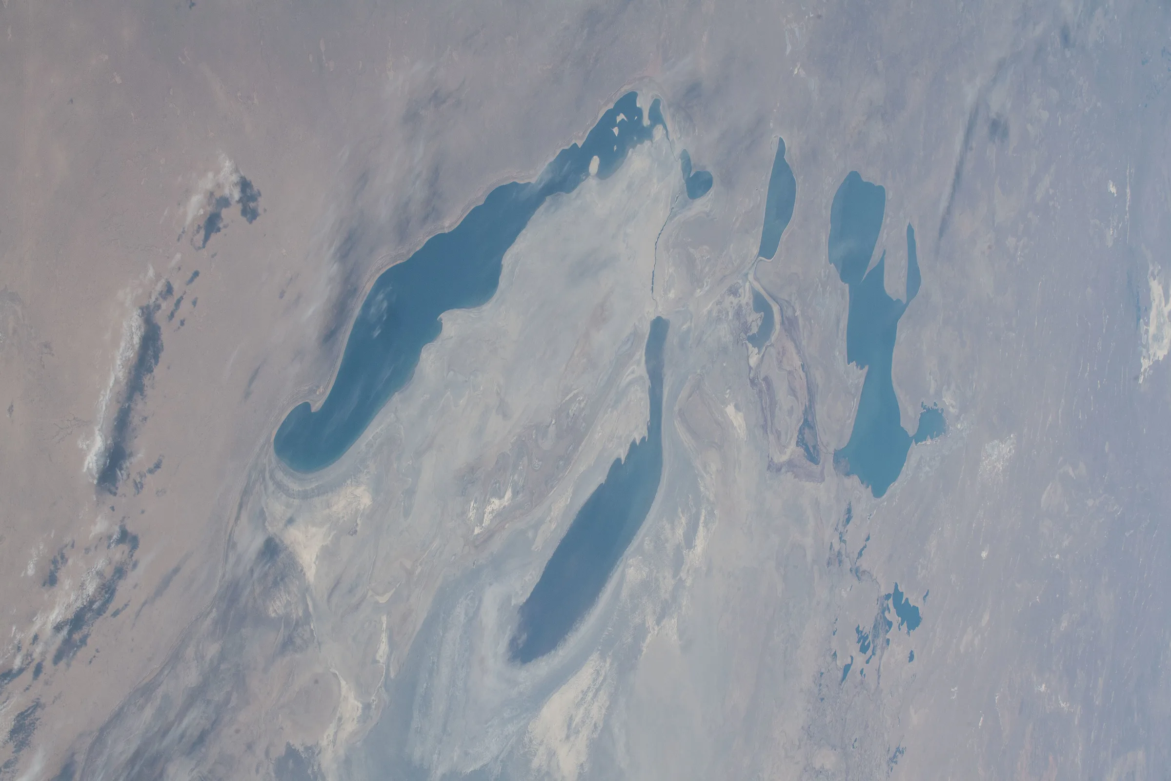
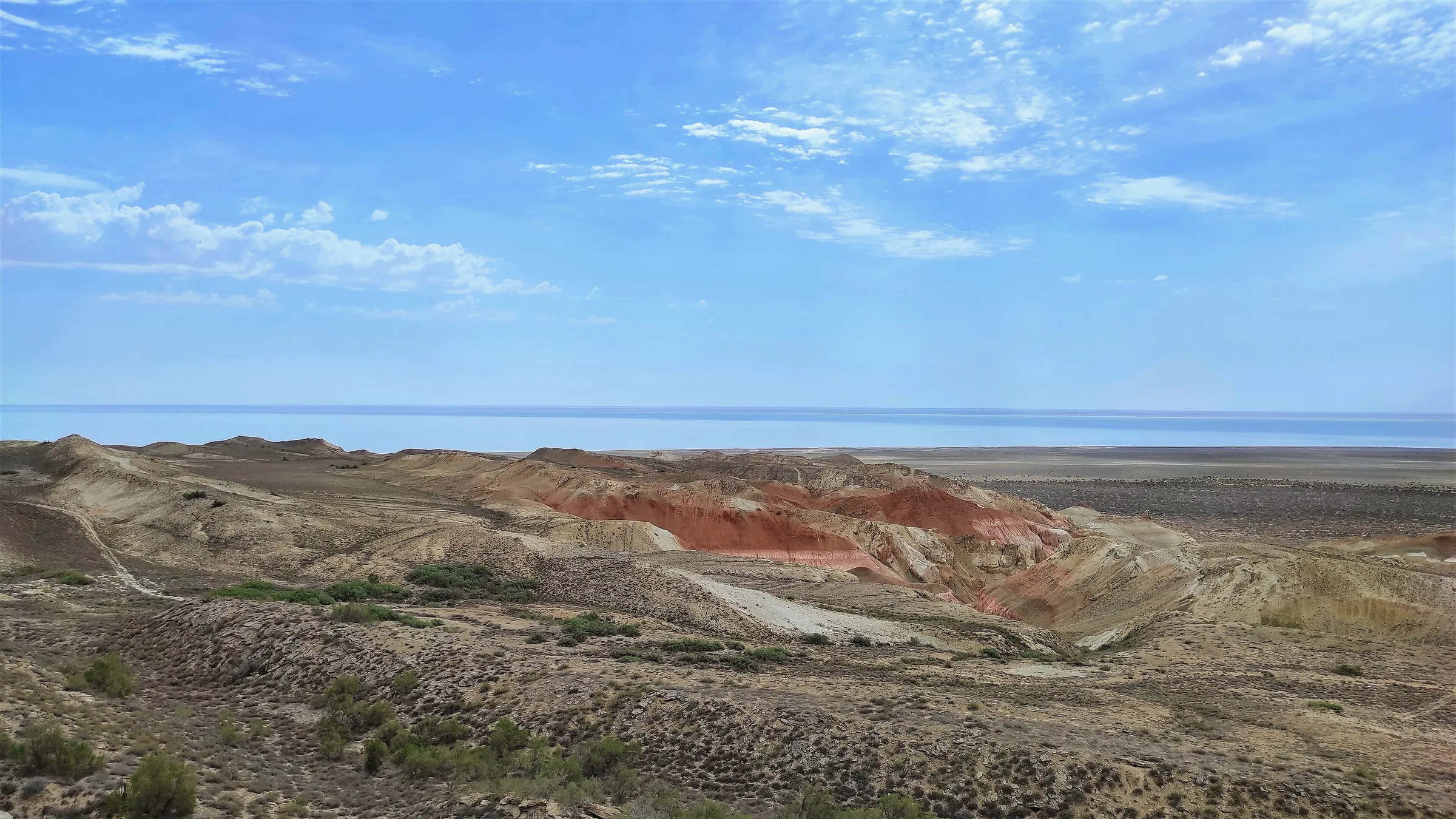
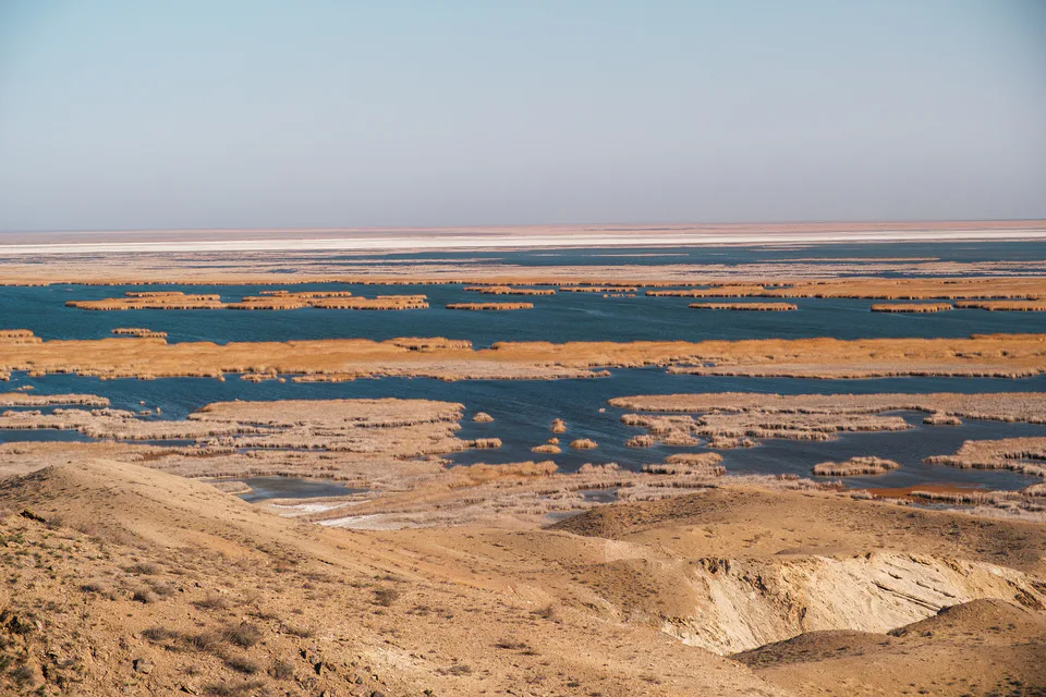
Once the world’s fourth-largest lake, the Aral has been drying up since the 1960s. The western basin of its southern part, in Karakalpakstan, can still be reached across the Ustyurt Plateau.
The Aral Sea is a landlocked salt lake on the border of Kazakhstan and Uzbekistan. Until the mid-20th century its level barely changed: in the 1950s it covered some 68,000 km², the fourth-largest lake on Earth, fed by the Amu Darya and Syr Darya and dotted with more than 300 islands. Moynaq on the southern shore was a centre of fishing and canning, and passenger and cargo ships plied its waters.
Large-scale irrigation canals were built across Central Asia from the 1930s, and the pace quickened in the early 1960s. From 1961 the sea shrank rapidly as most of the river water went to cotton and rice. In 1989 it split into the North (Small) and South (Large) Aral; in 2001 Vozrozhdeniya Island joined the mainland; and in 2014 the eastern part of the South Aral dried out completely, leaving the sea at a record low of 7,297 km².
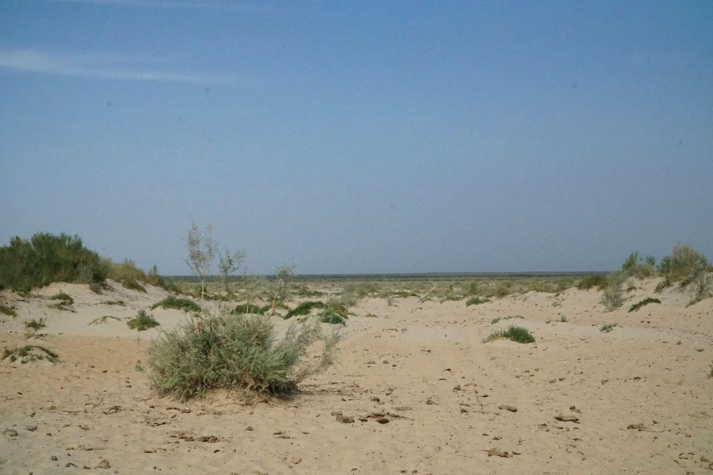
A new desert, the Aralkum, has formed on the seabed. Its salt and dust storms and worsening drinking water have badly affected people’s health, and the fishing industry all but vanished. Kazakhstan’s Kokaral dam of 2005 partly restored the North Aral, while on the Uzbek side work focuses on planting the dry seabed and creating protected areas.
On the Uzbek side, the Saigachiy reserve (628,300 ha, 1991) and the million-hectare Aralkum National Park on former Vozrozhdeniya Island (2022) now protect parts of the region, flamingos and pelicans nest on delta lakes such as Sudochye, and saxaul is being planted on the dry seabed to curb dust storms.
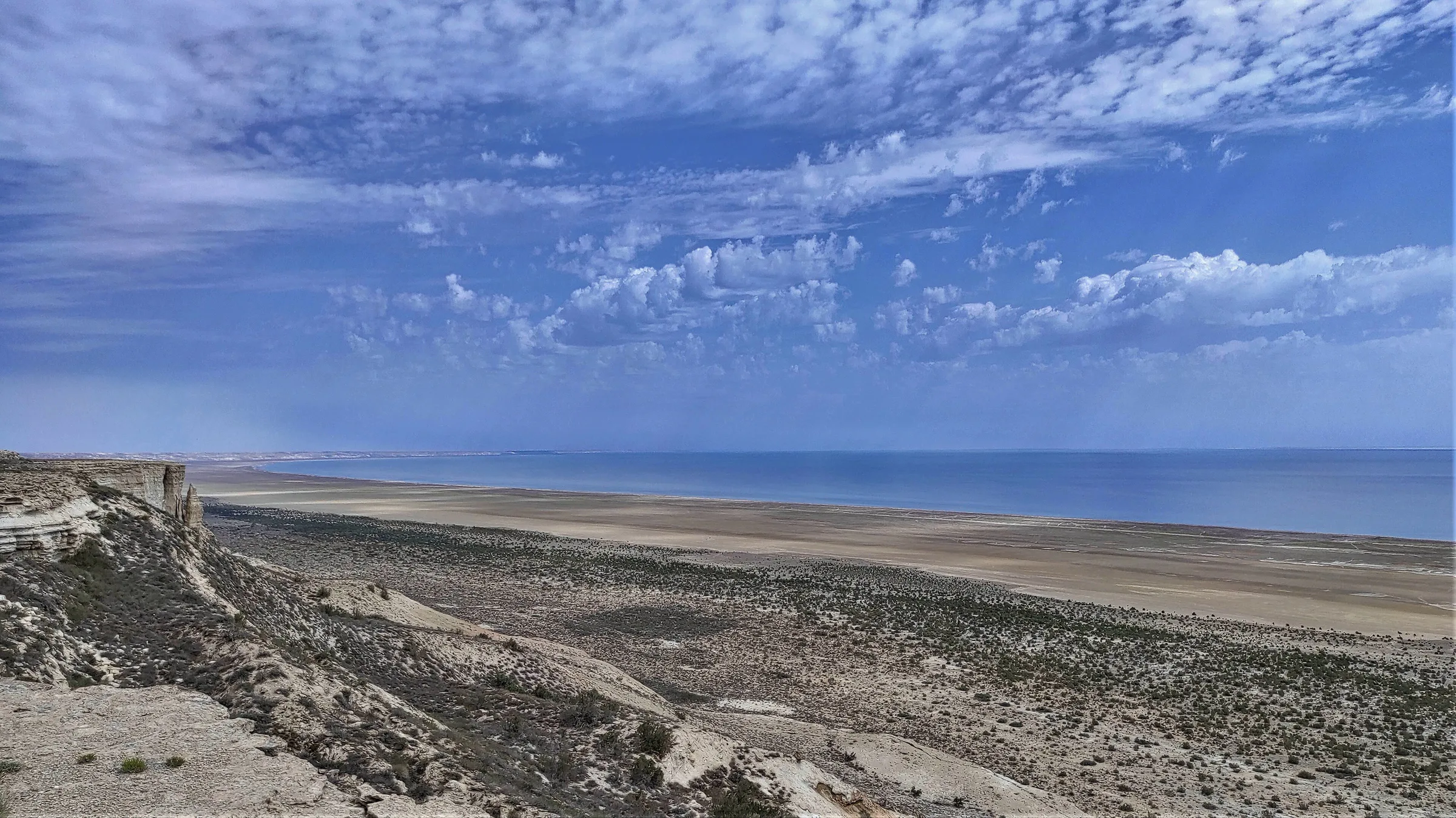
Uzbekistan’s remaining water is the deep western basin of the South Aral, usually reached on a two-day trip from Moynaq or Nukus across the Ustyurt Plateau, past escarpments, abandoned fishing villages and canyons. Seasonal yurt camps operate on the shore. The water is extremely salty and the shoreline muddy, though some visitors still swim.
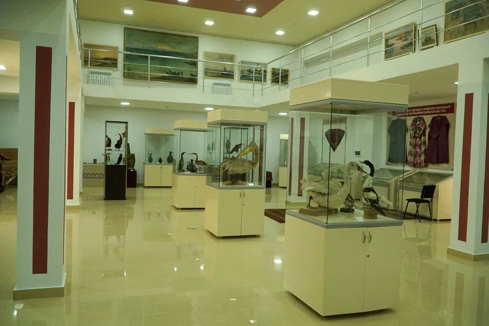
Start with the State Museum in Nukus and the museum in Moynaq, then the ship cemetery — by the time you reach the shore you will understand just how far the sea has gone.
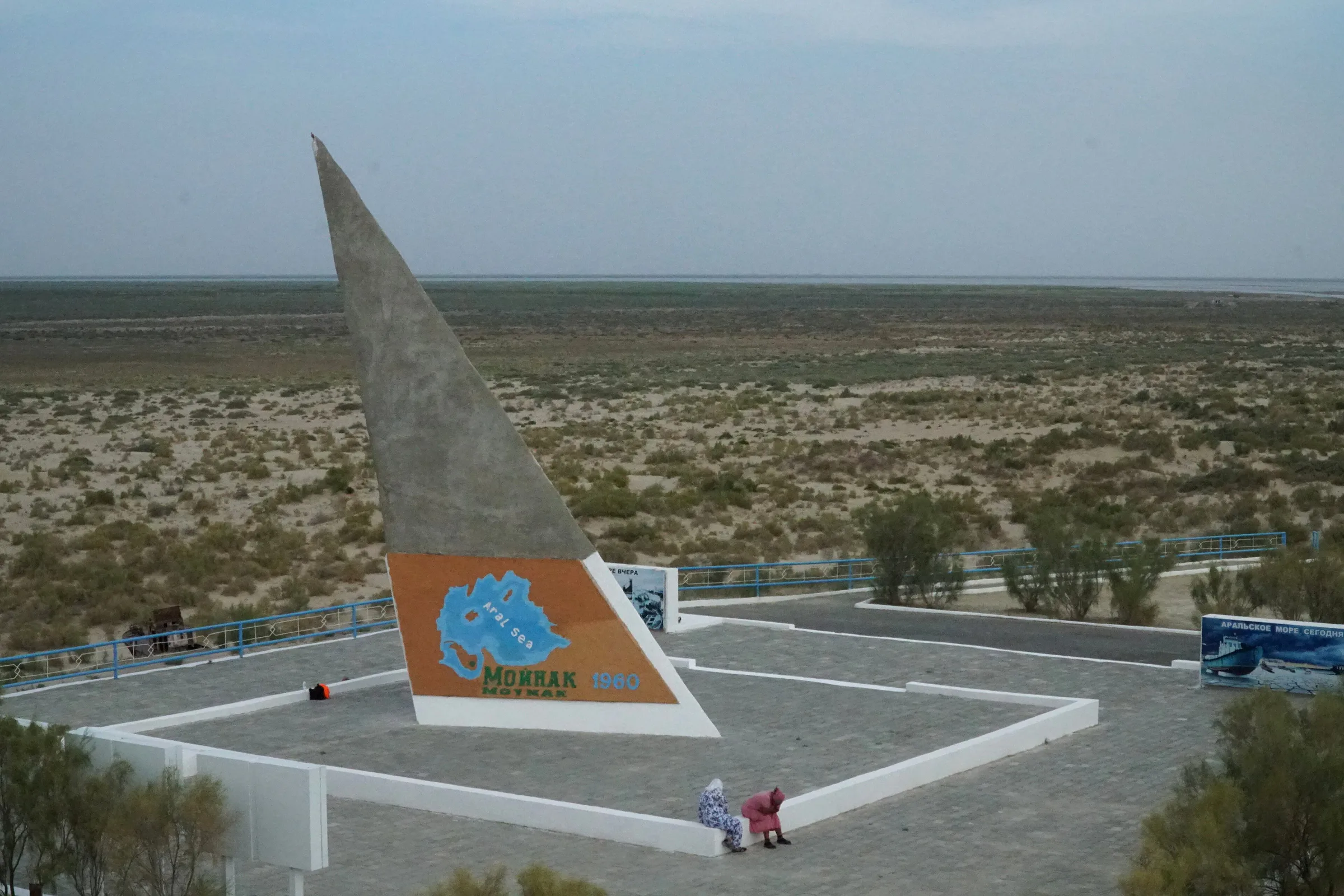
Museum · Moynaq District
The port the sea abandoned
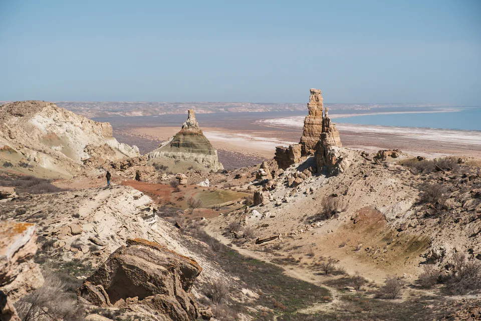
Nature · Qo‘ng‘irot District
The stone desert between the Caspian and the Aral
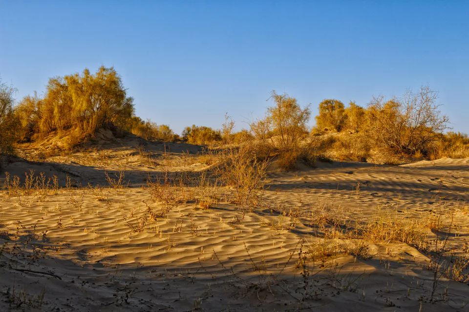
Nature · Moynaq District
Protecting a desert born on a seabed
Nature · Moynaq District
Delta lakes where the flamingos returned
Museum · Moynaq District
A sea that survives in paintings