Pilgrimage site · Beruniy District
Sultan Uvays Bobo Complex
One of Karakalpakstan’s great shrines
Archaeology · Qoraozak District
Ruins of a fortified town at the foot of the Sultanuizdag: founded in antiquity, its visible walls date from the 9th–10th centuries, and in the 12th–14th it was a port trading in the Golden Horde era.
Jampyk Kala stands on the right bank of the Amu Darya on the southwestern spurs of the Sultanuizdag range and covers about 12 hectares. A rectangular citadel survives in the east, its mud-brick walls decorated with paired half-columns ending in stepped arches. The first buildings date from the 4th century BCE to the 1st century CE, but the walls seen today were raised in the 9th–10th centuries, and coins place the town’s last phase in the 12th–14th. In the Middle Ages it was a river port: excavations revealed baths, a craftsmen’s quarter, goods from China, Egypt, Europe and India, and Golden Horde coins. Sergey Tolstov identified the site in 1940, and excavations began in 1965.
Pilgrimage site · Beruniy District
One of Karakalpakstan’s great shrines
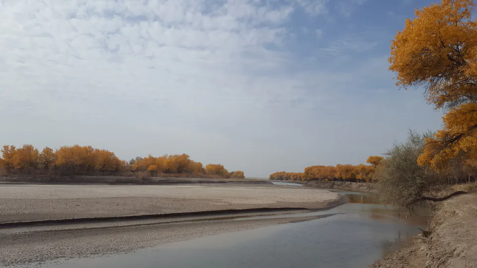
Nature · Beruniy District
The great refuge of the Bukhara deer
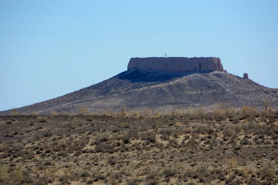
Archaeology · Amudaryo District
A Zoroastrian “tower of silence”
Archaeology · Beruniy District
The capital before Toprak Kala
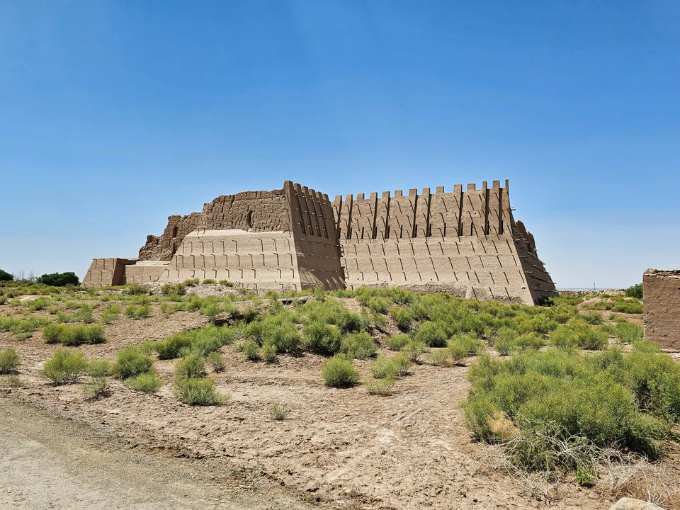
Archaeology · Ellikqala District
The “red” fort that guarded Toprak Kala