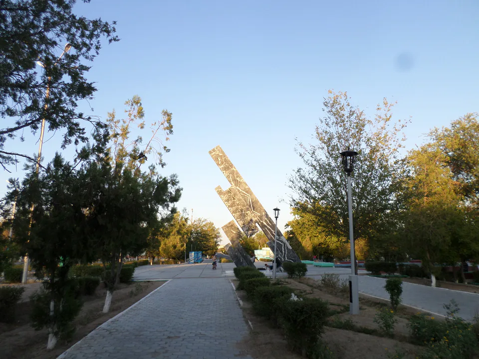
Nature · Uchquduq District
Jaraquduq — the Stone Forest and dinosaur beds
A Cretaceous seashore in the middle of the Kyzylkum
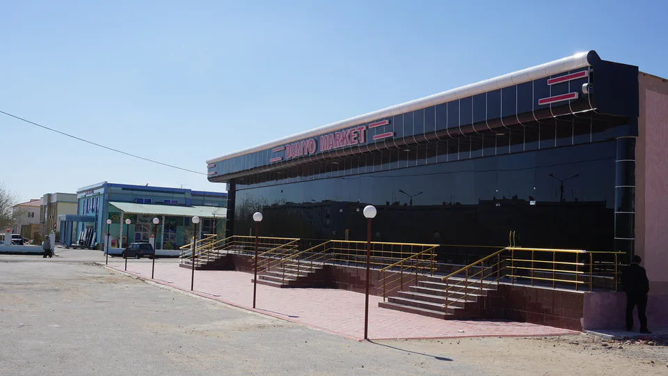
district · Navoiy Region
Uchquduq District in the western Kyzylkum is the largest in the region by area, with uranium and gold mines and the Jaraquduq fossil site.
Uchquduq District was created on 25 March 1982. It lies in the west of the region in the Kyzylkum Desert, bordering Kazakhstan's Kyzylorda Region to the north, the Republic of Karakalpakstan to the west, Bukhara Region's Peshku District to the south and Tomdi and Konimex districts to the east. The climate is sharply continental, with January averaging −6 °C and July 27 °C. Its centre is the town of Uchquduq.
Uchquduq grew up around uranium deposits in the 1950s and became a town in 1978; uranium and gold are mined here today, including at the Kokpatas gold deposit. In the Mingbulak depression lie the Jaraquduq canyons, with dinosaur and other ancient fossils and a 'Stone Forest'. On 1 January 2026 the district had 39,900 residents and covers more than 45,000 km².
Uchquduq District
Airport, railway station and bus stations — addresses, timetables and the live board.
All transportUchquduq District
Khokimiyat, public service centre and other offices: addresses, phones, hours.
All offices (3)Khokimiyat
28 Amir Temur St, Uchquduq District
Read morePublic Service Centre
33 Amir Temur St, Uchquduq District
Read moreUchquduq District
Codes of the post offices in this city or district.
All postcodes (2)city · A town of marble and stone-carvers
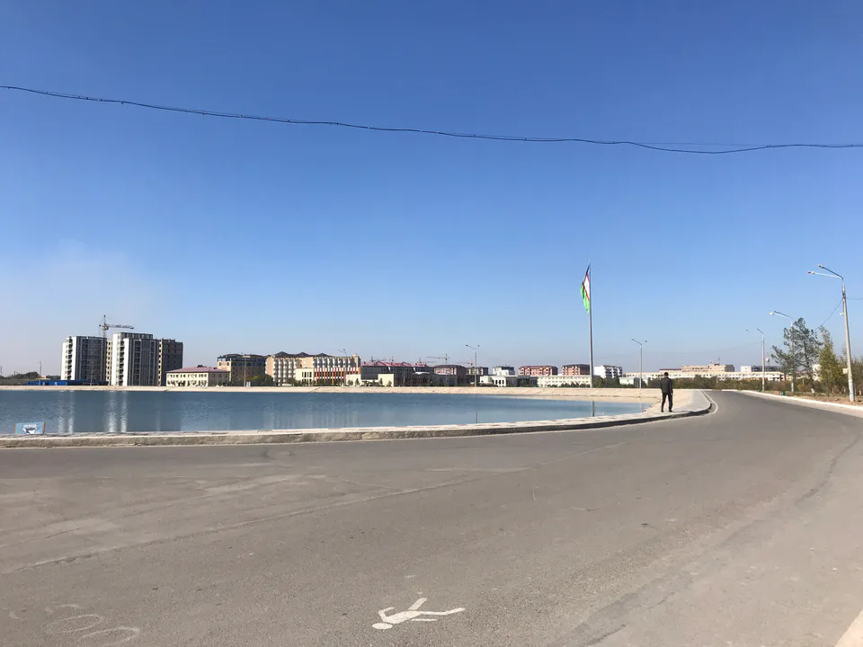
city · An industrial city built to one master plan
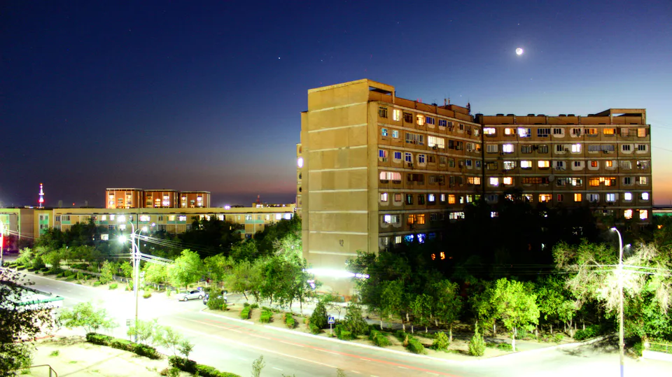
city · Uzbekistan's 'gold capital'
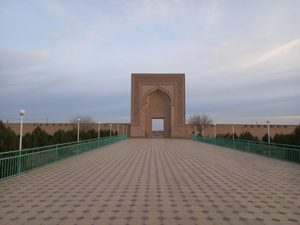
district · An ancient Silk Road town and UNESCO monuments
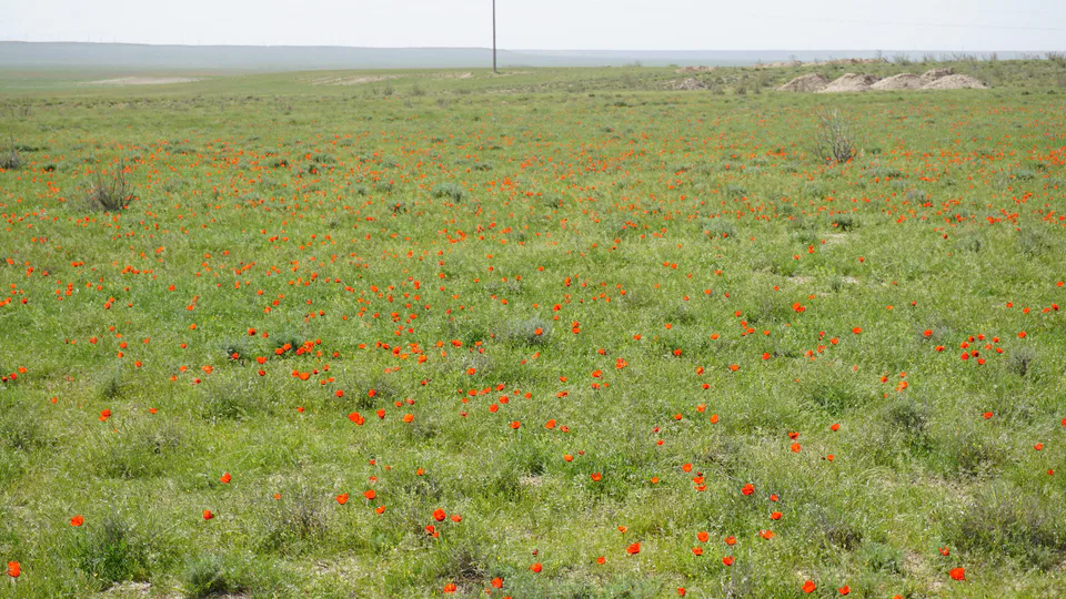
district · A desert district on the edge of the Kyzylkum
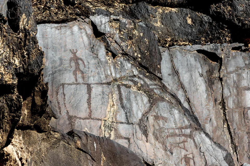
district · Home of the Sarmishsay petroglyphs
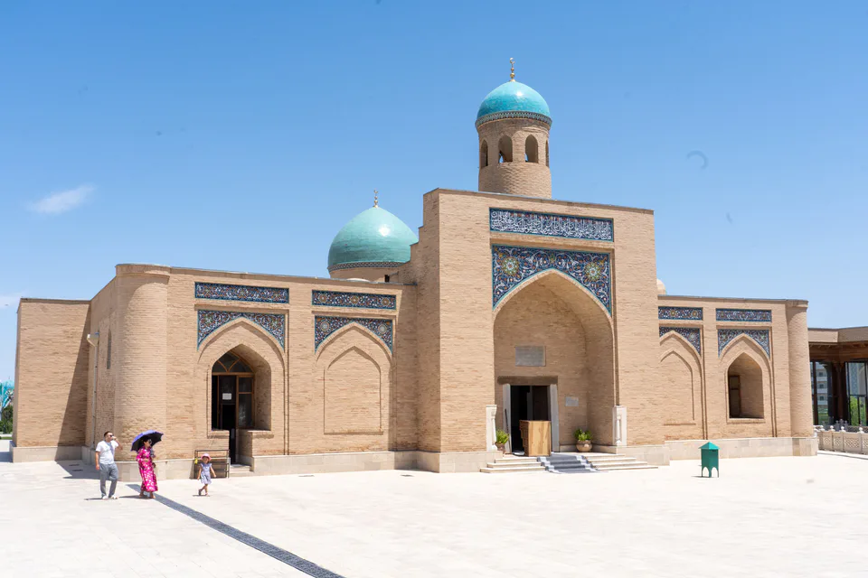
district · A sacred spring, mountains and Aydarkul
district · The Zarafshan valley and Tudakul
district · The heart of the Kyzylkum and Muruntau gold
district · The region's most populous district