Archaeology · Sherobod District
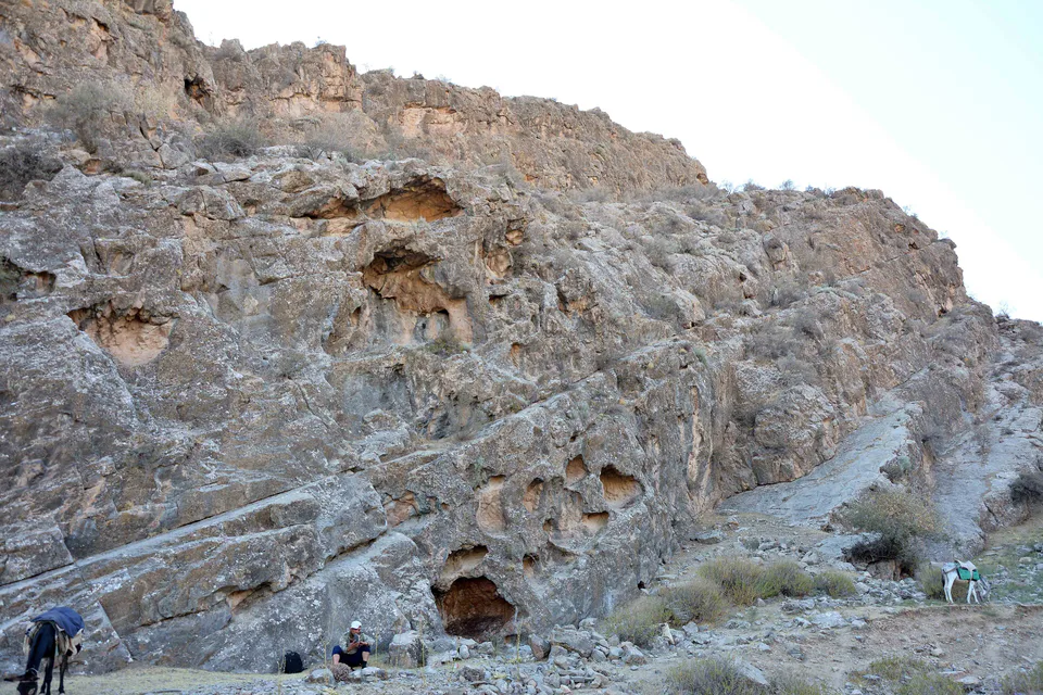
Zarautsoy Rock Paintings
Masked hunters and wild bulls: a Stone Age gallery
Archaeology · Sherobod District
A vast late Bronze Age settlement in Sherobod District covering over 100 ha, with a citadel, palace, temple and large necropolis: the high point of northern Bactria’s farming culture.
Djarkutan lies on a natural loess rise in Sherobod District. Sh. R. Pidayev and V. N. Pilipko discovered it in 1973, and from that year an expedition of the Uzbek Institute of Archaeology under A. A. Askarov studied it. In 1994–2003 an Uzbek–German expedition led by D. Huff and Sh. Shaydullayev worked here, followed by other international teams.
The name comes from jar (ravine) and qo‘ton (cattle pen). Scholars variously describe Djarkutan as an urban-type settlement, a proto-city or an early city.
The site covers more than 100 ha: four settlements (Djarkutan 1–4) on the left bank of the Bustonsoy and five cemeteries (Buston 1–5) on the right. It comprises a citadel, a palace, a temple, the main residential area and an enormous necropolis. The 3-hectare citadel in the north-west was walled in mud brick up to 1.5 m thick and held the palace and residential blocks.
The temple complex contained an altar linked to a fire cult and ritual drinks, which leads some scholars to see Djarkutan as a forerunner of Zoroastrian civilisation. Irrigated farming was the economic base; by the end of the 2nd millennium BC stock-breeding gained importance and crafts flourished.
Archaeology · Sherobod District
Masked hunters and wild bulls: a Stone Age gallery
Nature · Sherobod District
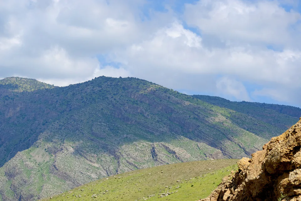
Kohitang junipers and Amu Darya riverine forest
Museum · Termez City
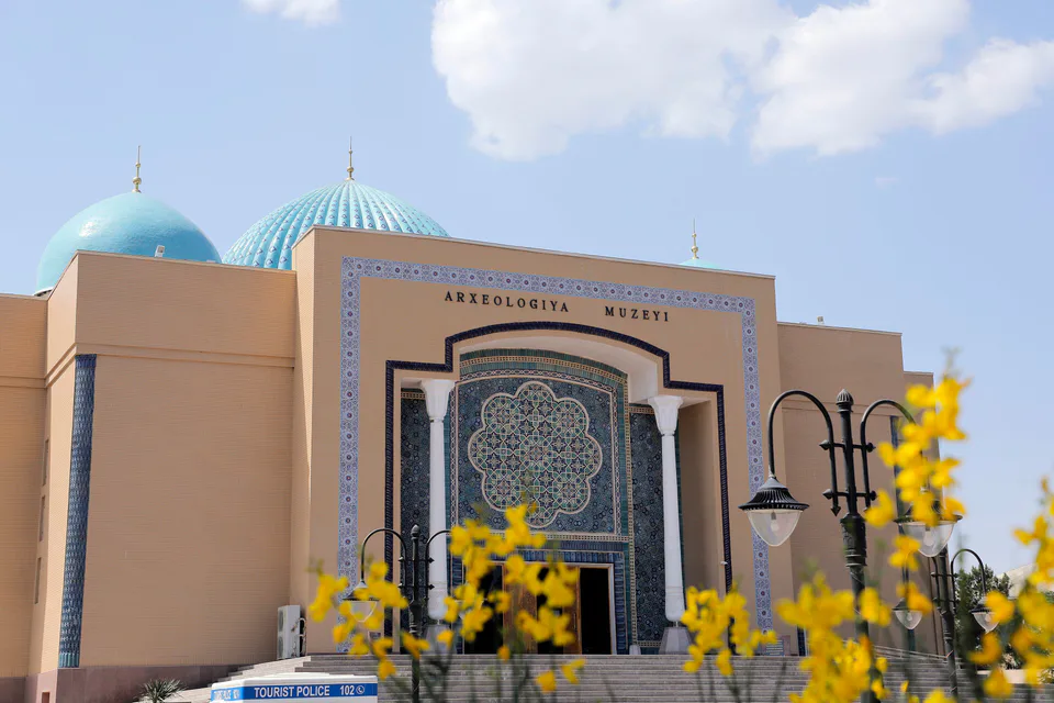
Bactrian and Kushan treasures under one roof
Pilgrimage site · Sherobod District
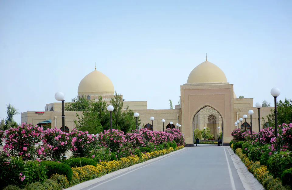
Resting place of the compiler of Jami al-Tirmidhi
Archaeology · Muzrabot District
The Bronze Age stronghold that named a culture
Archaeology · Muzrabot District
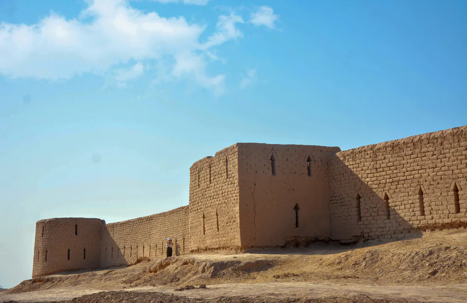
A Hellenistic fortress on the Amu Darya: the lost Alexandria on the Oxus?
Archaeology · Angor District
The Kushan-era hub of the Sherobod oasis