Nature · Nurota District
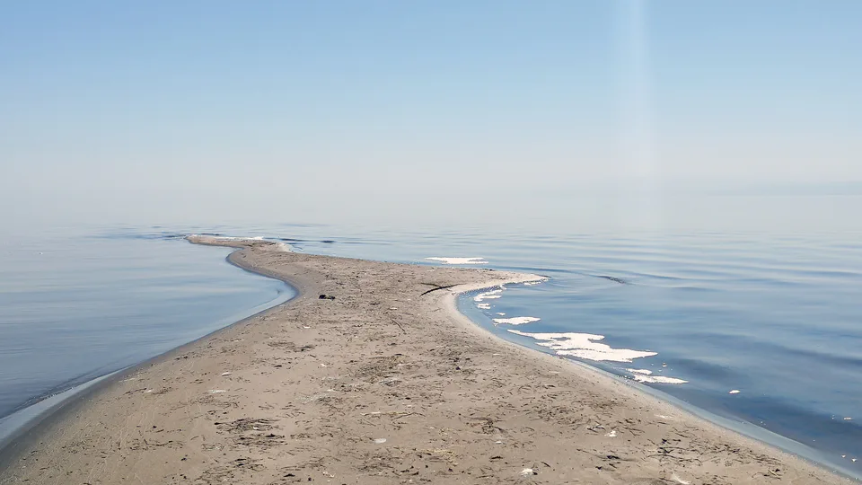
Aydarkul Lake and yurt camps
A 'sea in the sand' in the Kyzylkum
Nature · Nurota District
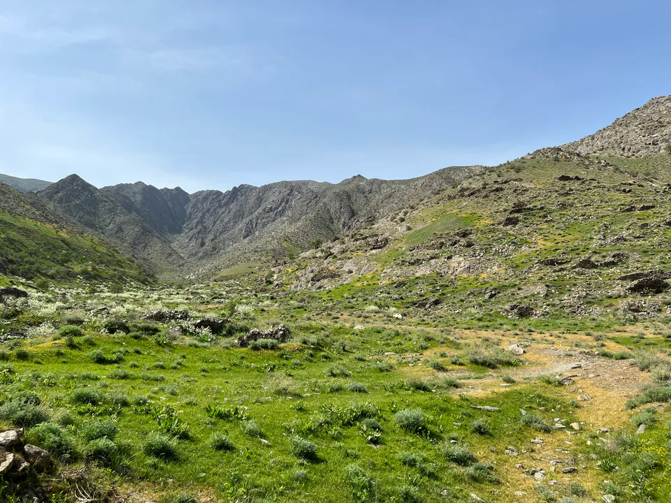
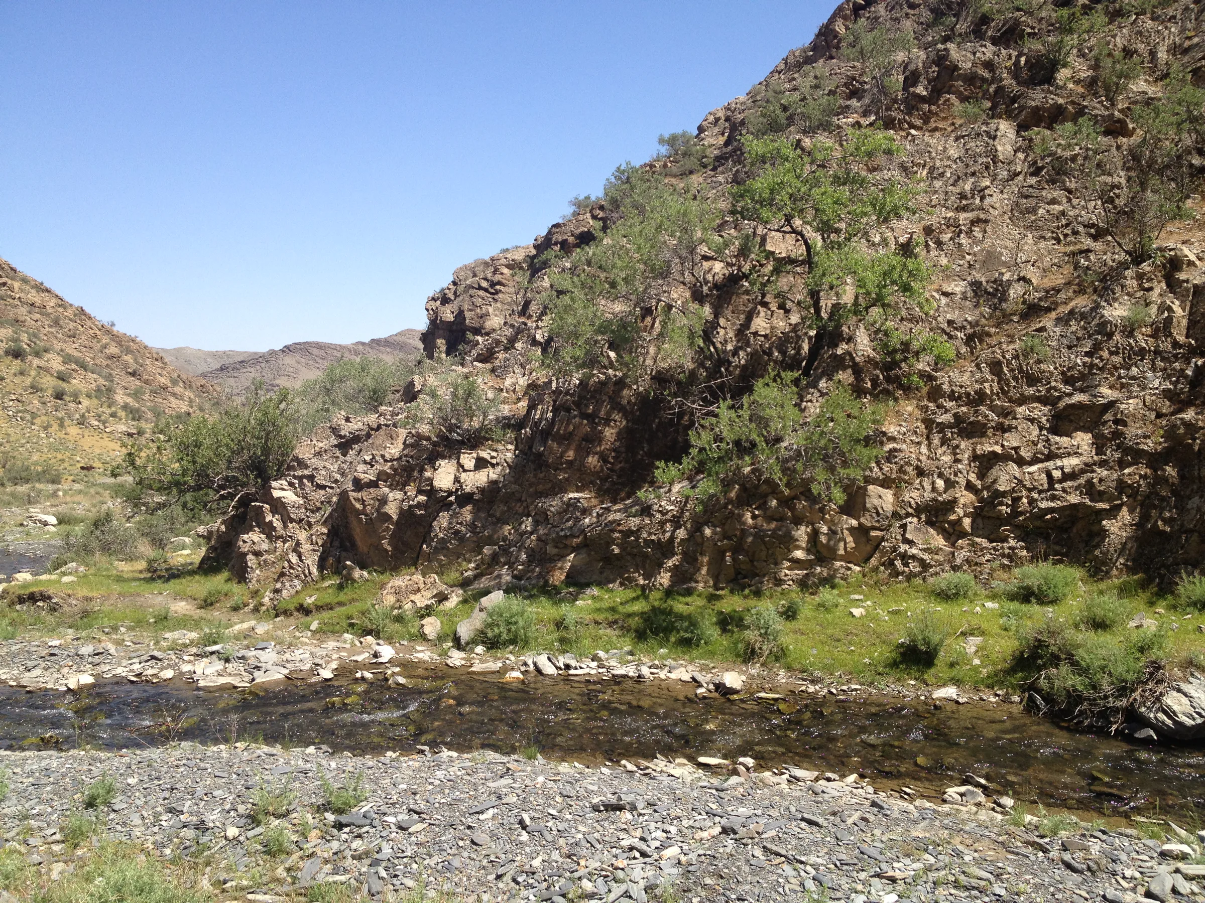
The 170 km Nuratau range forms the southern edge of the Kyzylkum. Sentob, a village on its northern slope, has become an ecotourism hub thanks to its guesthouses, hiking trails and rock art.
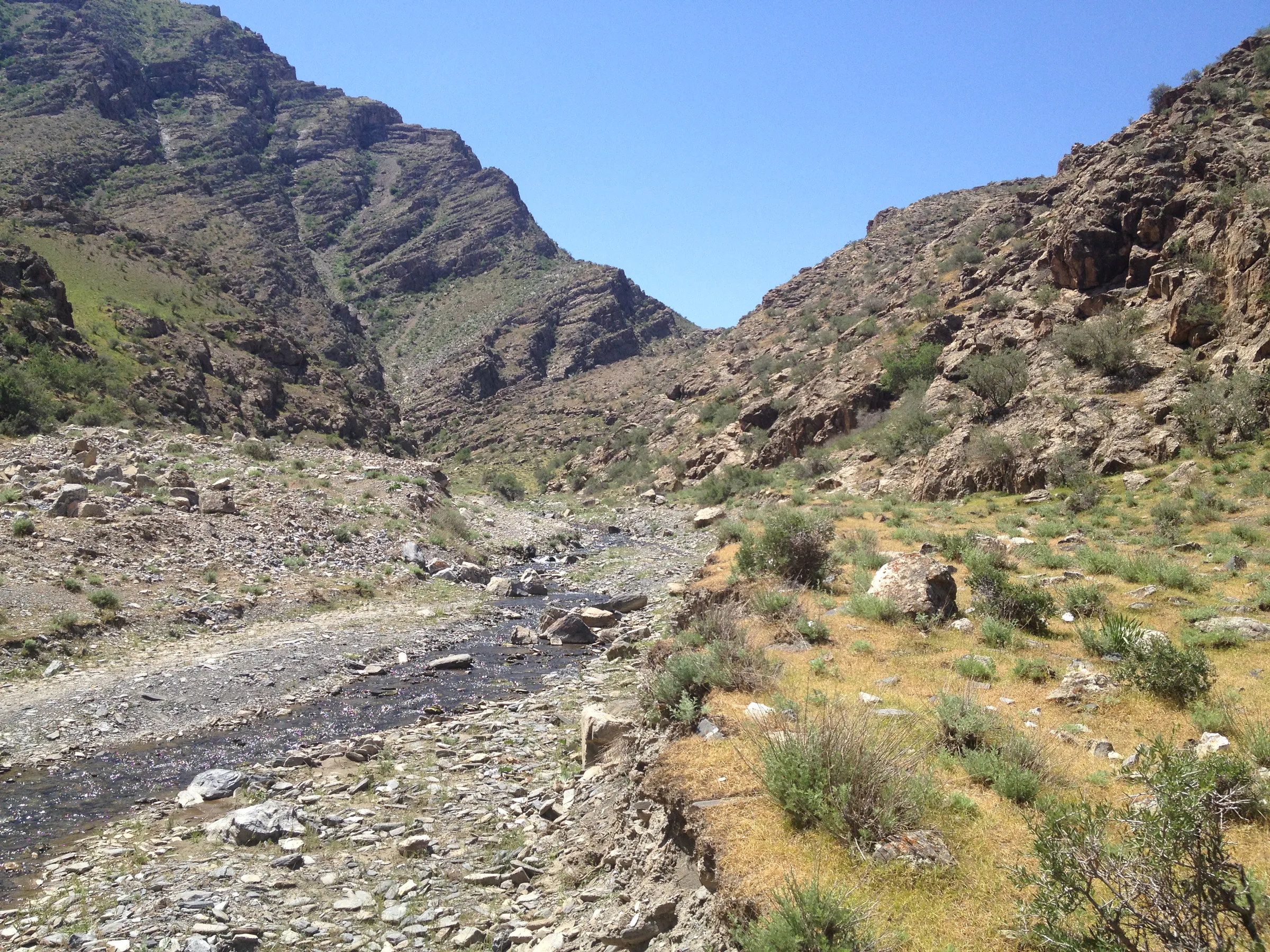
The Nuratau is one of the western spurs of the Gissar-Alay system; to the east the Tamerlane's Gate gorge separates it from the Malguzar range. It runs for 170 km and peaks at Mount Hayotboshi (2,169.5 m, in Jizzakh Region). The range is built mainly of sandstone, limestone and volcanic rock, with a flat crest, a steep, rocky northern face and a gentle southern slope cut by small river valleys.
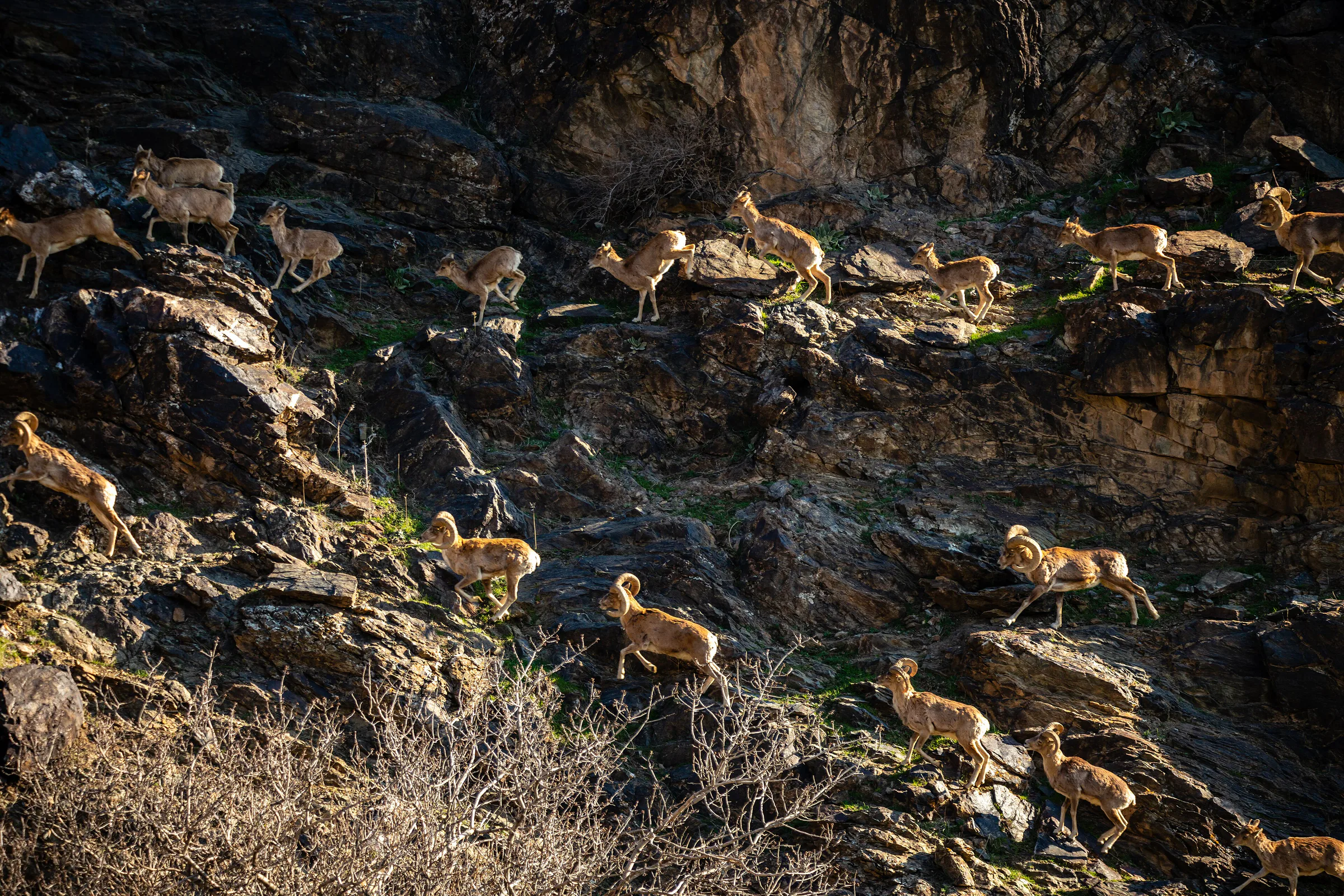
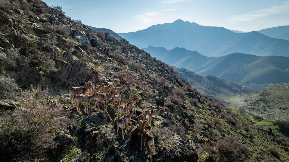
In the central part of the range, in Jizzakh Region's Forish District, the Nurota State Reserve was created in 1975 to protect walnut forests and Severtsov's wild sheep. BirdLife International lists the mountains as an Important Bird Area, with breeding Egyptian and cinereous vultures, saker falcons and other rare birds.
Sentob is a mountain village in Nurota District on the range's northern slope, facing Aydarkul. Several family guesthouses operate here, and visitors stay overnight, walk along mountain streams and share meals with local families.
Ancient petroglyphs and the Sentobtepa archaeological site lie near the village. In spring the slopes are carpeted with tulips and poppies, among walnut, pistachio and other fruit trees.
Nature · Nurota District
A 'sea in the sand' in the Kyzylkum
Pilgrimage site · Nurota District
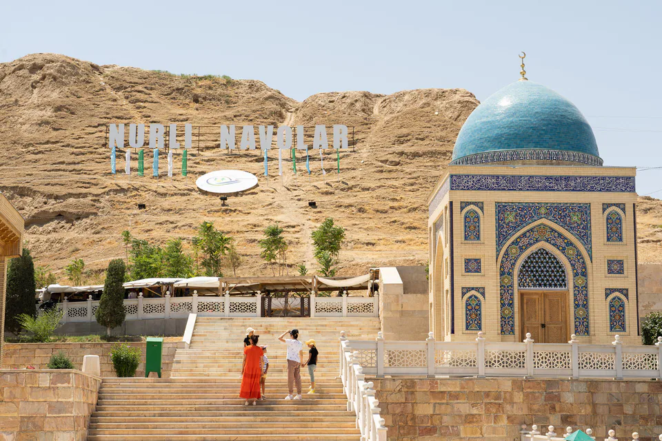
A healing spring and the 'light of Bukhara'
Archaeology · Nurota District
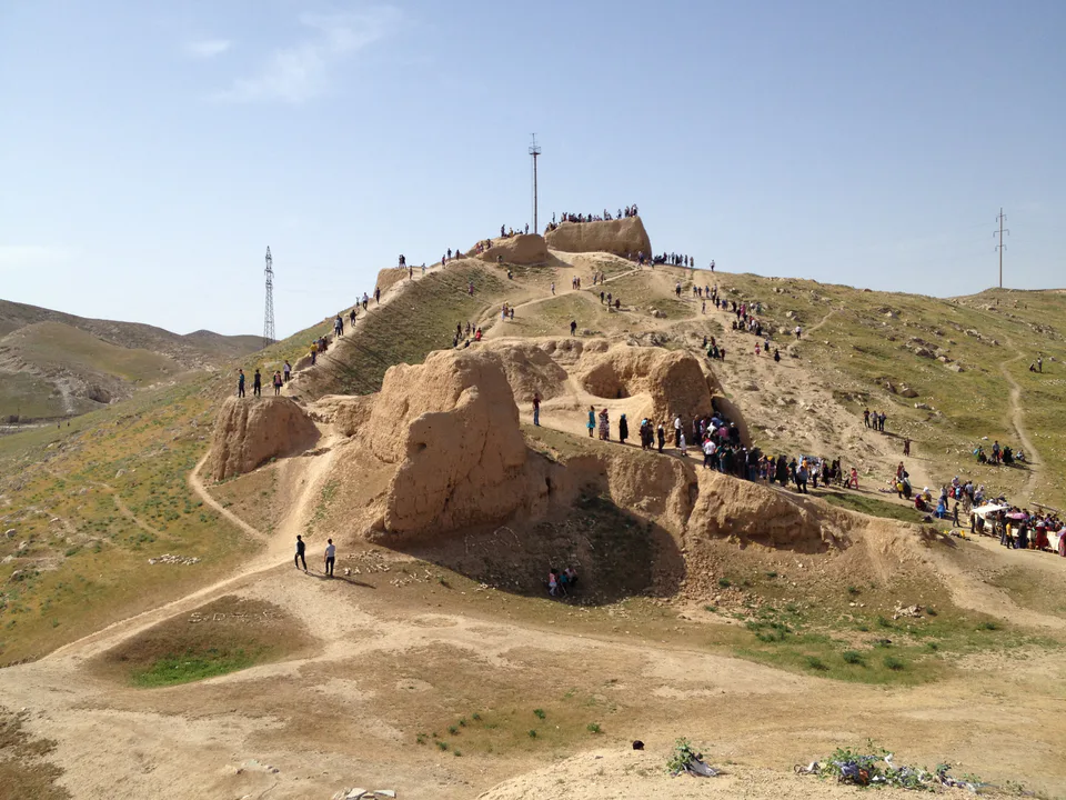
An ancient stronghold on the edge of the steppe
Nature · Forish District
Home of Severtsov's argali and wild walnut groves
Resort · Forish District
A tourist village in the Nuratau mountains