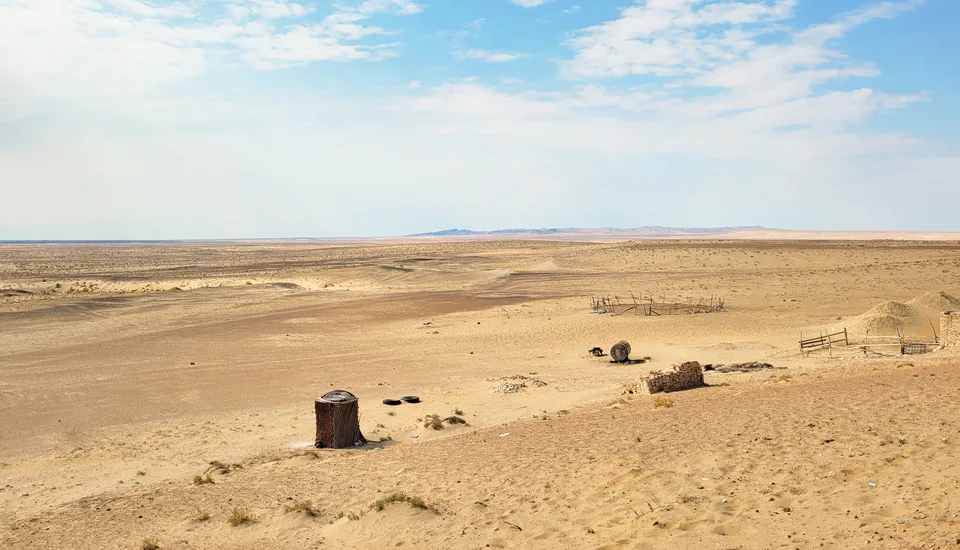
Nature · Tomdi District
Kyzylkum Desert
The 'red sands' — land of gold and uranium
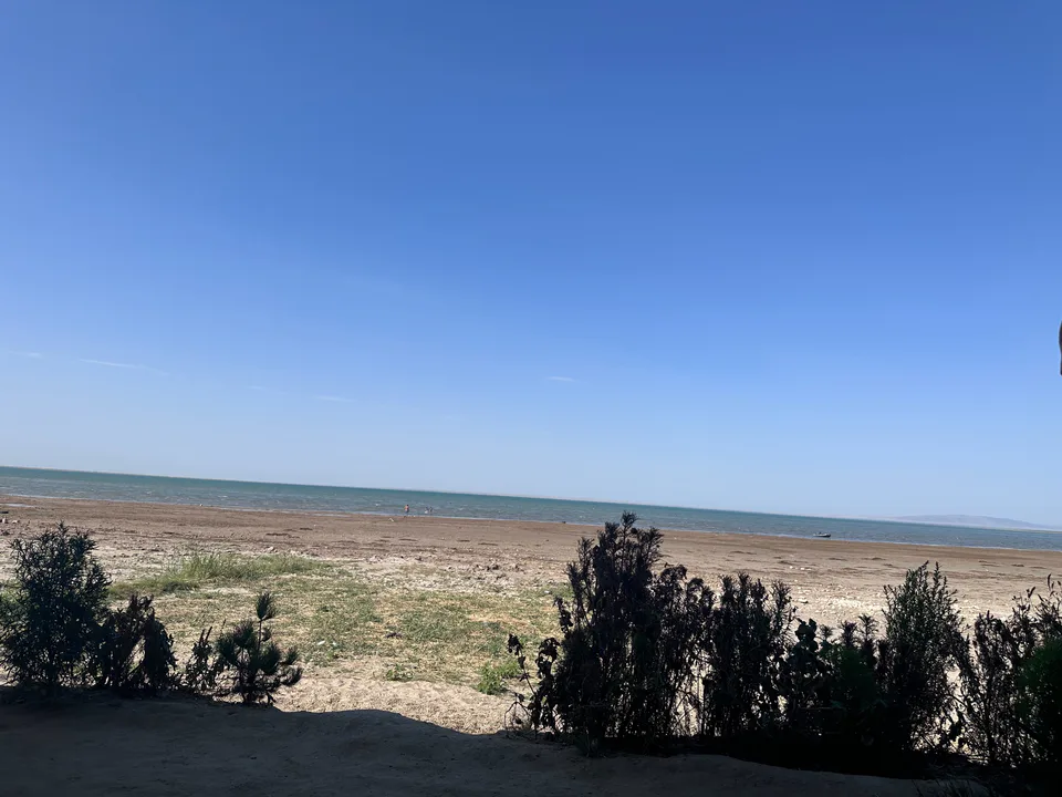
Nature · Qiziltepa District
Tudakul in Qiziltepa District formed in 1952 when Zarafshan water collected in a natural depression, and became a reservoir in 1968. It is known for its waterbirds and fishery.
Tudakul lies 26 km east of Bukhara in a natural basin 223.5 m above sea level, with the Kuymazar reservoir to its west. It formed in 1952 from Zarafshan water seeping into the depression, was turned into a reservoir in 1968 and rebuilt in 1977. It covers 210 km² and holds 1.2 km³ (some sources say 0.8 km³), with an average depth of 4.8 m; the water is partly mineralised. It is fed by surplus Zarafshan water and by the Amu-Bukhara canal.
Waterbirds, fish and turtles listed in Uzbekistan's Red Book live here, and a fish farm was set up on the reservoir in 1960. The Tudakul and Kuymazar reservoirs are listed as wetlands of international importance under the Ramsar Convention.
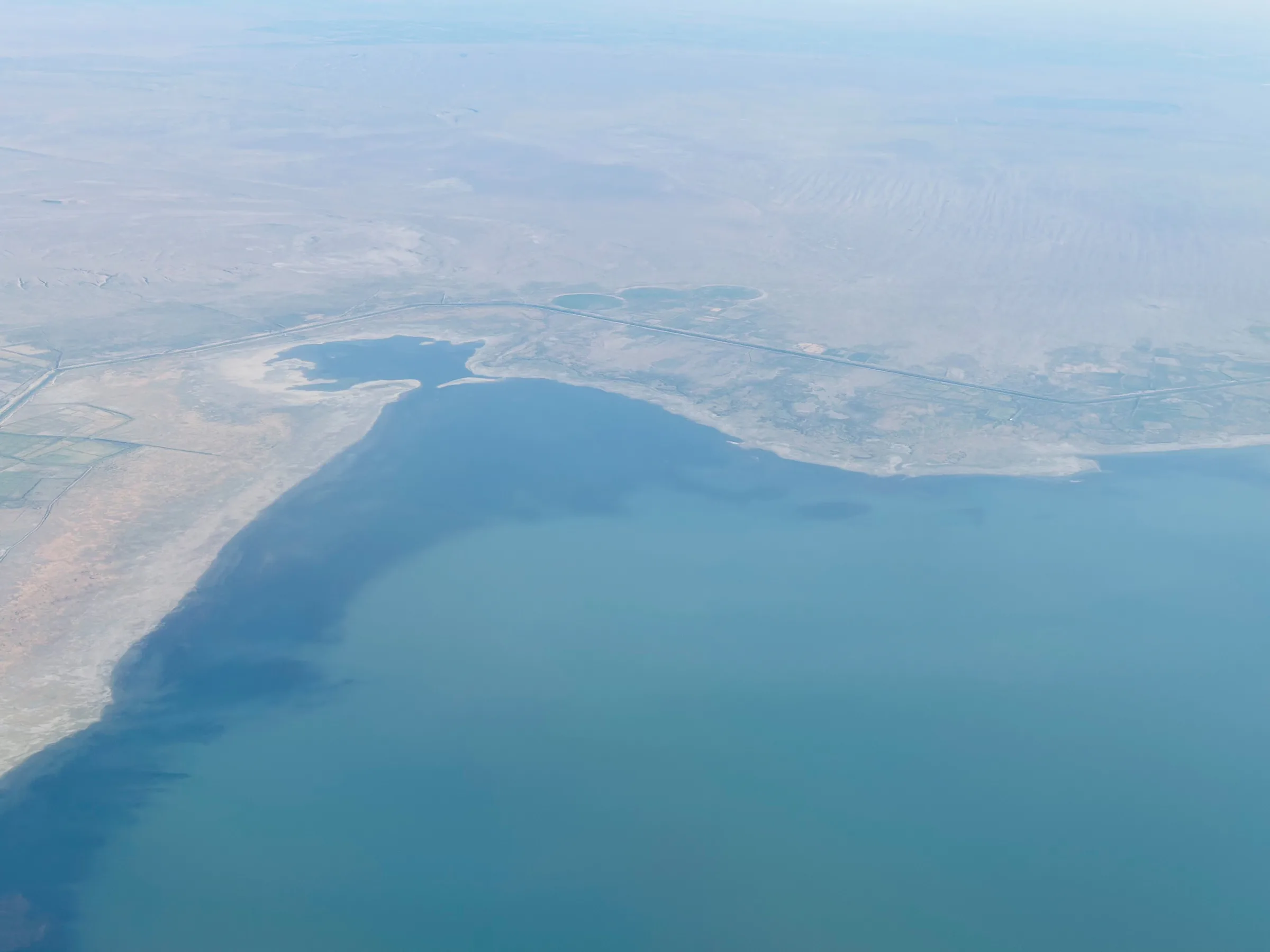
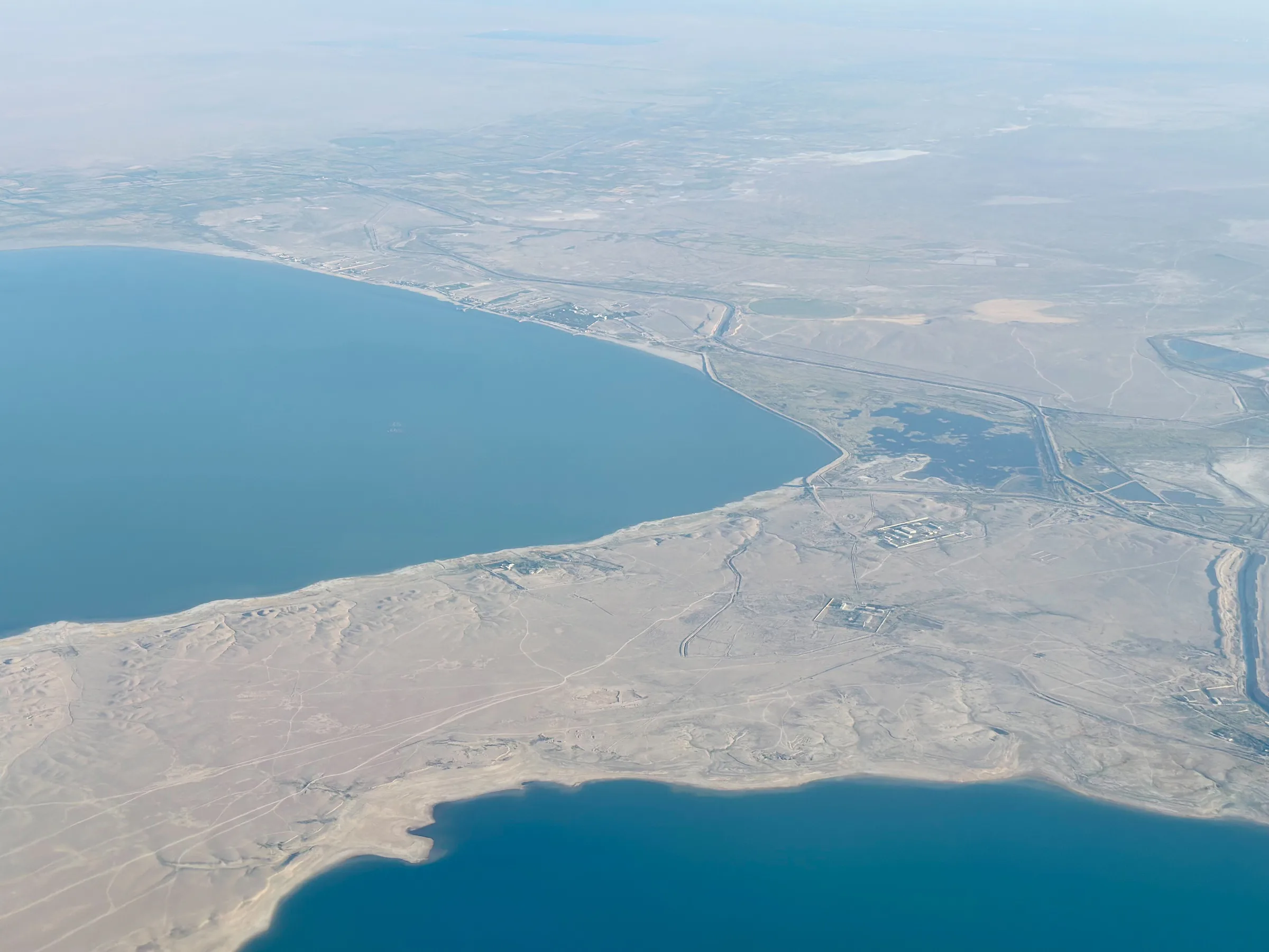
Nature · Tomdi District
The 'red sands' — land of gold and uranium
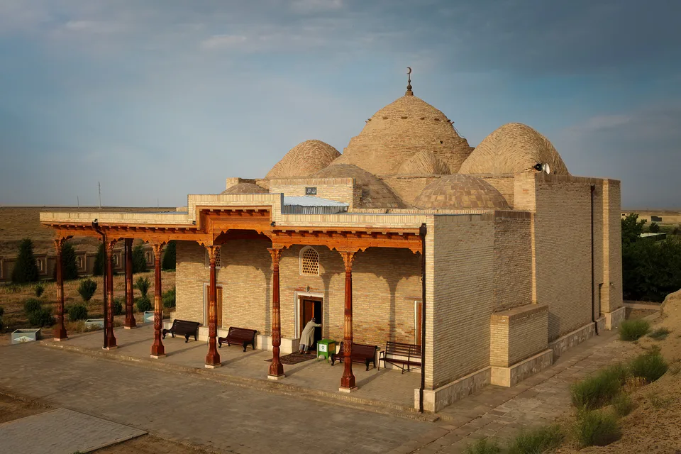
Mosque · Karmana District
A dome on four pillars — one of Uzbekistan's oldest mosques
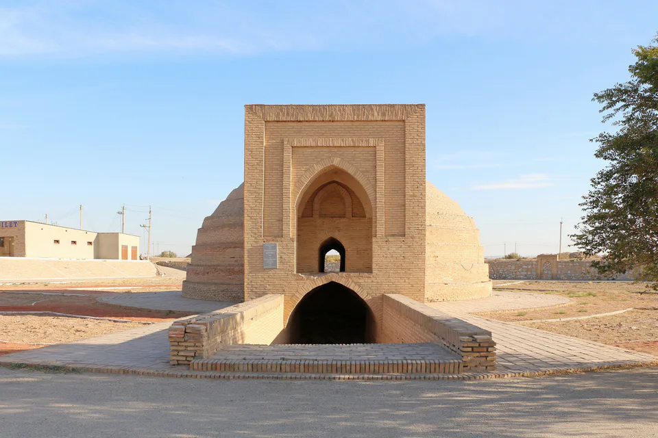
Archaeology · Karmana District
A domed cistern for passing caravans
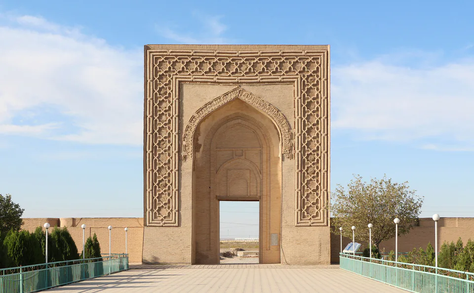
Archaeology · Karmana District
The Qarakhanids' 'royal fortress' in the steppe