Nature · Zomin District
Zaamin National Park
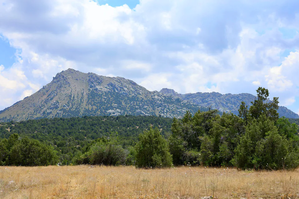
The juniper forests of 'Uzbek Switzerland'
Archaeology · Bakhmal District
Ruins of two 6th–11th-century cities in Bakhmal District at 2,000–2,200 metres, mapped by drone lidar in 2024; Tugunbulak covers 120 hectares.
Tugunbulak and Tashbulak are the ruins of two medieval cities on the northern slope of the Turkestan Range, near Zaamin National Park. In October 2024 the journal Nature published a study led by archaeologist Michael Frachetti of Washington University in St. Louis and Farhod Maksudov of Uzbekistan's National Center of Archaeology. It was the first time drone-mounted lidar had been used in Central Asia, mapping the sites to centimetre precision. The project was supported by the National Geographic Society.
Both cities lie at 2,000–2,200 metres, roughly the altitude of Machu Picchu. Tashbulak covers about 12 hectares, while Tugunbulak spreads over 120 hectares and, the researchers say, was one of the largest cities in the region in its day. Lidar revealed more than 300 structures at Tugunbulak, including watchtowers, defensive walls, narrow lanes, plazas and a central fortress. The cities were occupied from the 6th to the 11th century.
The team links the cities' wealth to iron smelting: the mountains are rich in iron ore and the juniper forests provided fuel for furnaces. Maksudov describes the people of Tugunbulak as nomadic pastoralists with a distinctive political and economic culture. The find suggests the mountains were not a barrier to the Silk Road but home to major centres of trade and craft.
Nature · Zomin District
The juniper forests of 'Uzbek Switzerland'
Nature · Zomin District
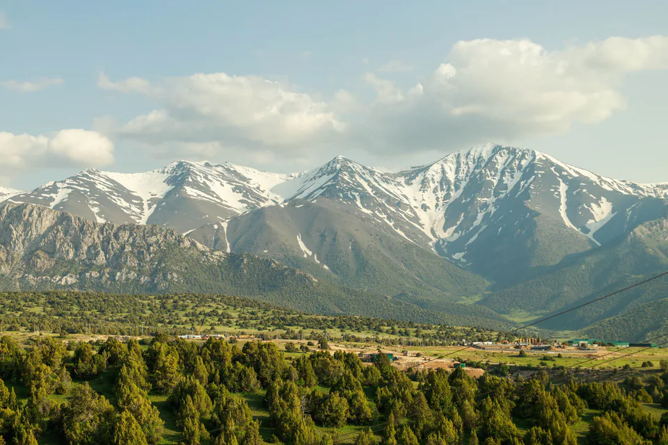
The protected juniper forests of the Turkestan Range
Nature · Zomin District
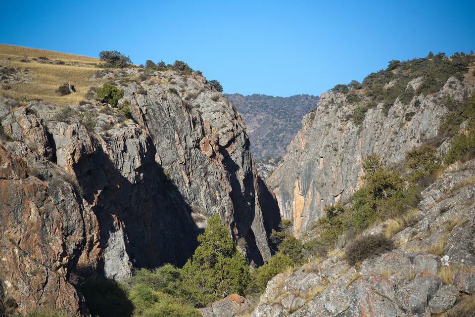
A deep canyon in the Zomin mountains
Modern · Zomin District
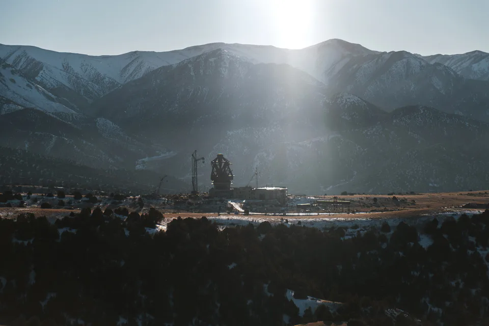
A 70-metre radio telescope on a mountain plateau
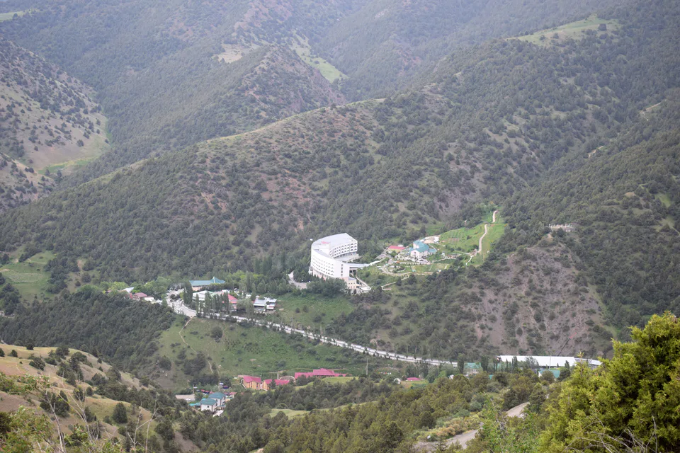
Resort · Zomin District
A mountain resort among the junipers
Museum · Zomin District
District history in a former officers' club