Nature · Urgut District
Aman-Kutan
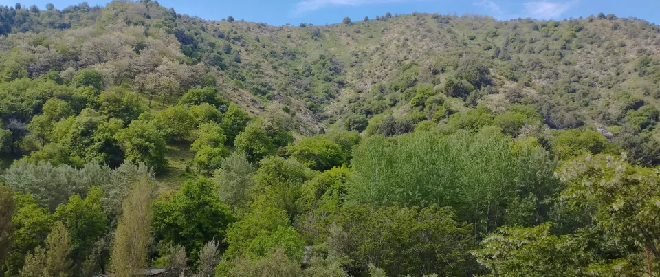
A Stone Age cave in a wooded mountain valley
Nature · Urgut District
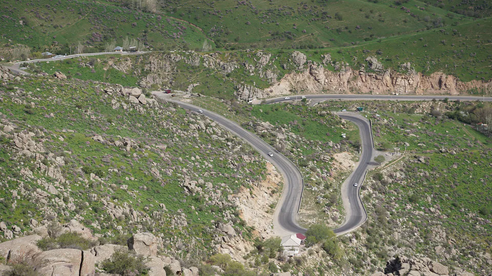
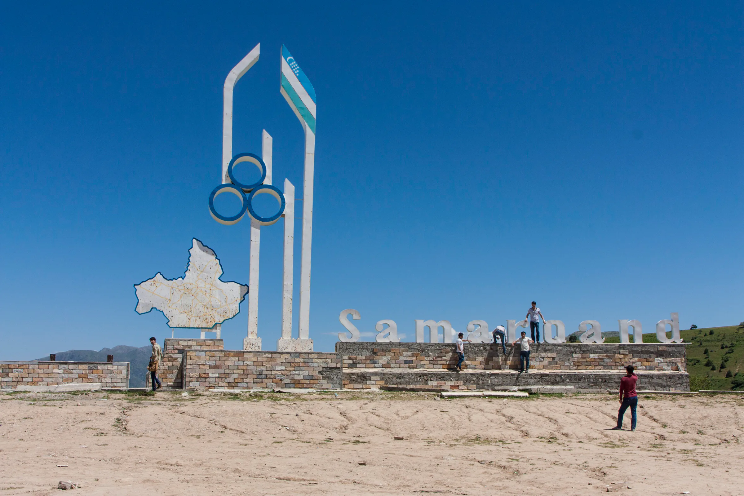
The pass carrying the shortest road from Samarkand to Shahrisabz, set right on the border of Samarkand and Kashkadarya regions: hairpin bends, sweeping views and roadside tandir-cooked lamb.
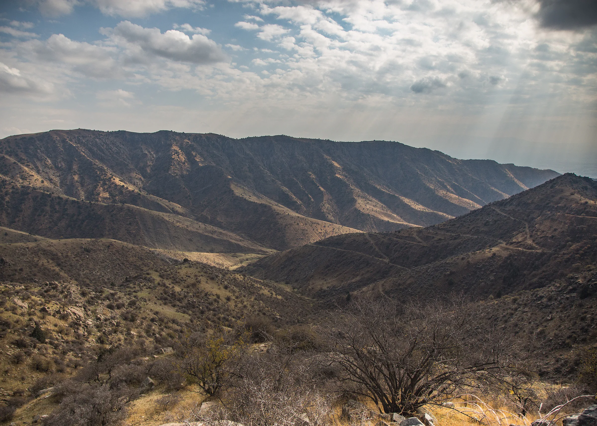
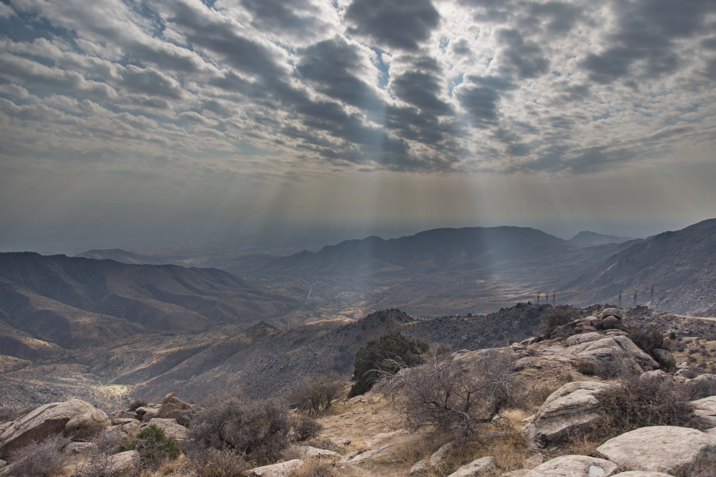
Takhtakaracha crosses the western Zarafshan Range between the Karatepa mountains to the west and the Chakilikalon to the east. Sources give its height as anything from 1,675 to 1,780 metres. Crucially, the pass sits exactly on the border between Samarkand Region (Urgut District) and Kashkadarya Region (Kitob District), and its highest point falls on the Kitob side. The climb from the Samarkand side, via Aman-Kutan, is fairly gentle; the Kitob side is steeper, and locals there call it the Kitob Pass.
The international M-39 highway runs over the pass, the shortest route from Samarkand and Tashkent to Shahrisabz, Karshi and Termez. The summit is about 45–50 km from Samarkand, roughly an hour's drive.
According to the National Encyclopedia of Uzbekistan, Timur laid out three gardens along the road from Samarkand to Kesh (Shahrisabz) — Bagh-i Davlatabad, Bagh-i Karatuba and Bagh-i Takht-i Karacha — and the pass took its name from the last. Old texts also call it Aqba-i Kesh, the Kesh Pass. In the late 19th century it marked the border between the Russian Empire's Samarkand Province and the Kitab bekdom of the Emirate of Bukhara. The road was substantially upgraded in Soviet times, in the 1930s and again in the 1950s.
Buses and heavy lorries are banned from the pass; only cars, minivans and small trucks may cross. From autumn to spring, snow, ice, fog and rockfalls can close the road for hours or even days — in the winters of 2020 and 2022 it shut for several days at a time, forcing a long detour across the plains to the west. A road tunnel beneath the pass has been under discussion for several years.
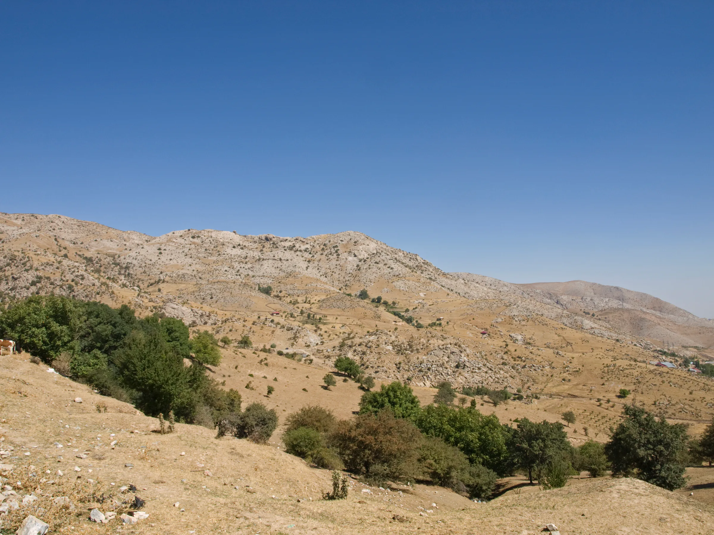
Viewpoints on the hairpins look out over the Zarafshan valley and the mountains of Kashkadarya, and the cafés near the summit are known for Kashkadarya-style tandir gosht, lamb slow-cooked in a clay oven. Nearby are the Karatepa reservoir and strange rock formations that locals call Teshik-Tash and Shaitan-Jiga, while the well-known Hazrati Bashir shrine lies on the Kitob side.
Nature · Urgut District
A Stone Age cave in a wooded mountain valley
Park & garden · Urgut District
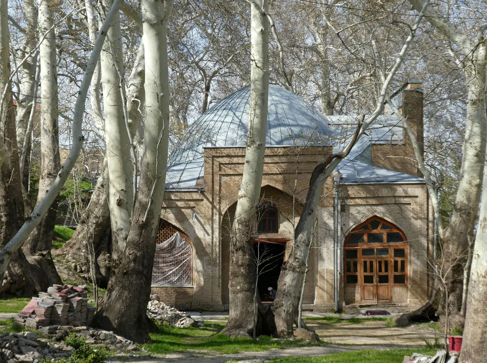
A shrine in the shade of ancient plane trees
Nature · Samarkand District
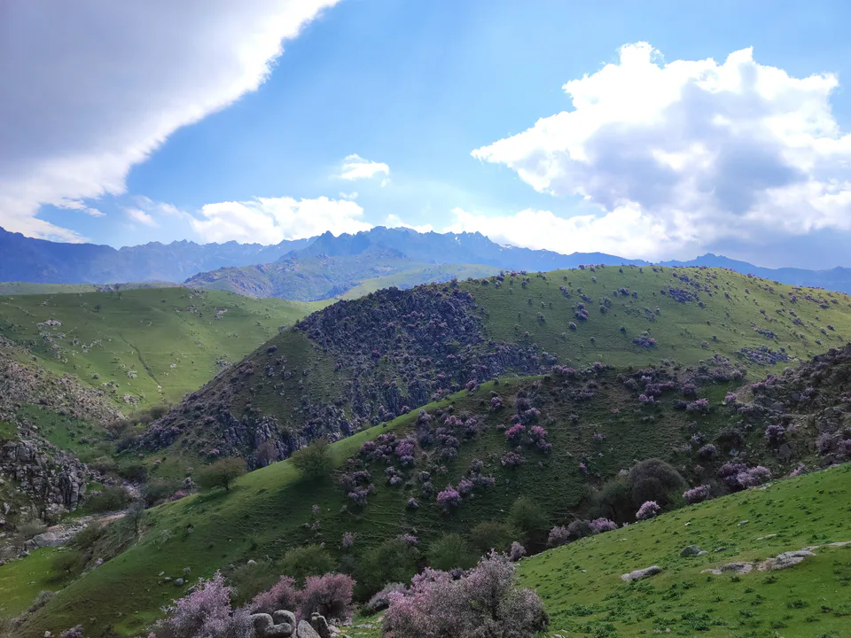
Mountain air and waterfalls on the city's doorstep
Bazaar · Urgut District
A craft-filled weekend market
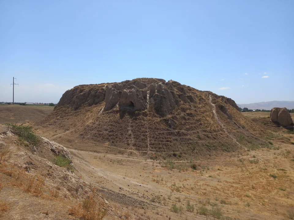
Archaeology · Samarkand District
The burnt castle of Sogdian kings
Pilgrimage site · Nurobod District
A mountain cave at the top of 1,303 steps
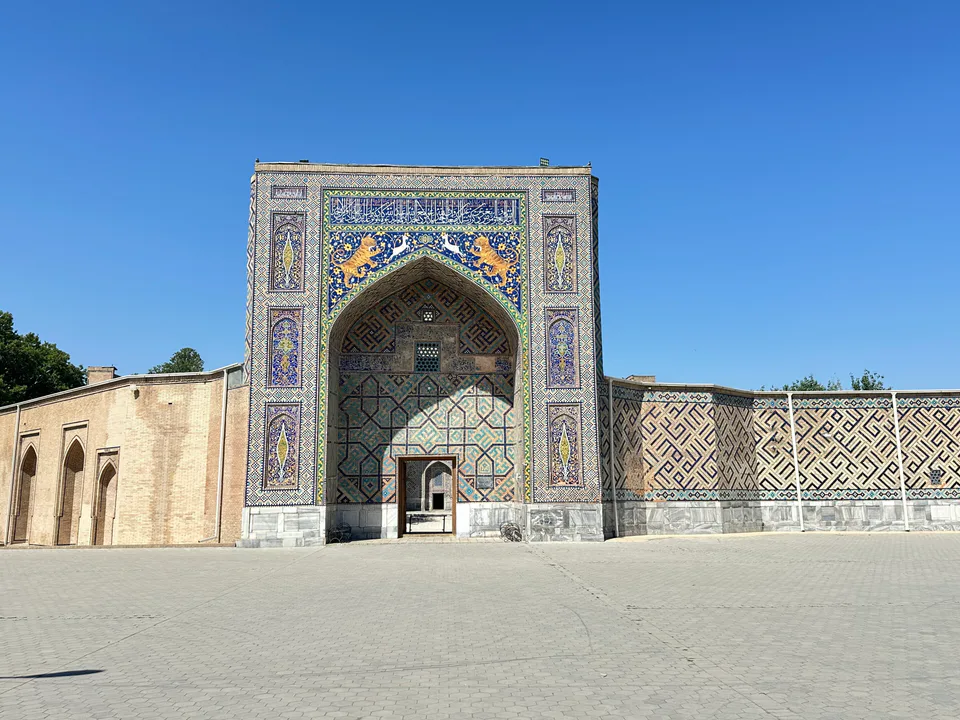
Pilgrimage site · Samarkand District
A Sufi master's shrine and the 'mirror of Sher-Dor'
Park & garden · Samarkand
A youth hub on the grounds of a former military hospital
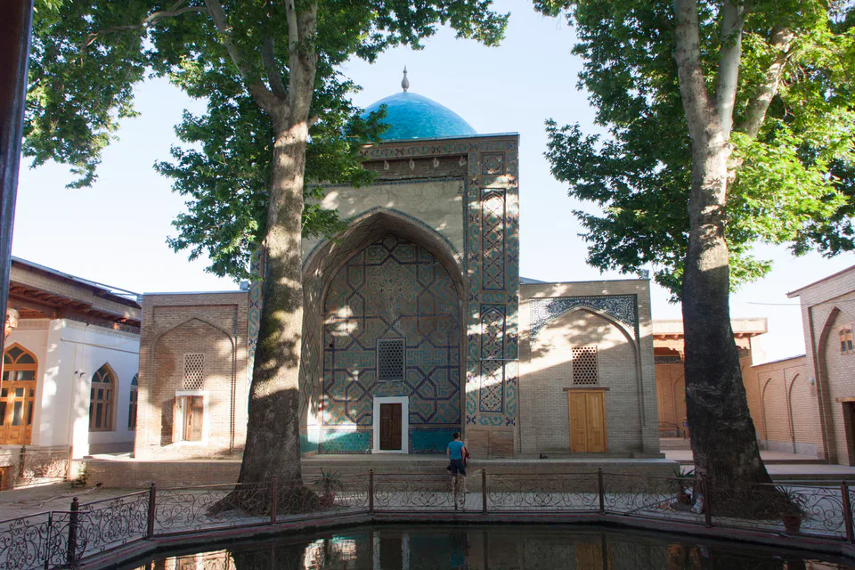
Pilgrimage site · Samarkand
An ancient shrine around a plane-shaded pool